
AZT: Rincons & Catalinas study guide · Lesson 14 of 19
Water Sources Up Close
Rincon water sources · Catalina and Redington water
This is the lesson's study guide from the FlashFeed app, plus its key facts and a self-test.
What you'll be able to do
- Identify the Rincon water sources south to north — Rincon Creek, Chimenea Creek, Grass Shack, and Italian Spring — with their elevations.
- Recognize Manning Camp as the most dependable Rincon source and quantify the short Manning-to-Italian-Spring carry.
- Describe the drier Redington and Catalina sources: Caliente Creek, Molino Basin, Lemmon Creek, and High Jinks Ranch.
On a desert sky-island traverse, water is the variable that governs every other decision — where you camp, how far you push, how heavy your pack rides. This lesson walks the named sources one by one, south to north, so you can build a carry plan that matches the ground rather than hoping for the best. Always cross-check the live AZT Water Report before a trip; the notes here describe typical behavior, not guarantees.
Rincon water sources
The southern half of this stretch climbs from the desert into the high Rincons, and its water follows the elevation. Low down in Passage 8, Cienega Creek is the anchor — a genuinely perennial stream in the Cienega Creek Natural Preserve, shaded by cottonwoods and home to native fish. You need no permit to drink from it while staying on the AZT, though wandering off-trail into the wider preserve does require one. Nearer the park boundary, Rincon Creek offers seasonal flow in wet periods; treat it as the last reliable fill before the long climb, and never bank on it in a dry spring.
Once you enter Saguaro National Park and start up Passage 9, the sources rise with you. Chimenea Creek is the first seasonal water, draining the largest watershed in the Rincons. A few miles up sits Grass Shack (about 5,300 ft), both a designated campsite and the key mid-climb water, tucked among oaks along Chimenea Creek — reliable most years, but occasionally closed for contamination, so confirm with the Rincon Mountain Visitor Center first. Near the top, the prize is Manning Camp (about 7,920 ft), whose spring is generally available — the single most dependable source on the stretch. Dropping off Mica Mountain's north side late in the passage, Italian Spring (around 6,708 ft) is a worthwhile stop, most dependable after snowmelt or monsoon. The carry from Manning down to Italian Spring runs only three to four miles, a gentle descent of roughly 1,200 feet — useful to know when you're rationing.
Catalina and Redington water
North of the Rincons the picture turns drier and more exposed, and this is where careful planning matters most. Passage 10 (Redington Pass) has long been the problem child — little shade, no reliable piped source. Caliente Creek, crossed early under big cottonwoods, runs only seasonally, and the ATA flatly flags the section as "not reliable." One more trap to remember: Molino Basin Campground water is shut off when the campground closes each spring, usually by the end of April, and Gordon Hirabayashi Campground a little farther on has no water at all.
Climbing into the Catalinas on Passage 11, water bookends the big ascent. Low down, the West Fork of Sabino Canyon — including the deep, perennial-to-seasonal Hutch's Pool — is the dependable source; high up near Marshall Saddle, seasonal Lemmon Creek flows. Between them lies Romero Pass (about 6,000 ft), which has no named spring on the main route, so most hikers carry up from Hutch's Pool. (The Pusch Ridge Bypass, 11e, is the watered alternative, passing Novio, Crystal, and Green Springs.) Finally, Passage 12 down Oracle Ridge is the driest of all — the ATA lists only Summerhaven at the top and High Jinks Ranch mid-passage. Leave Summerhaven with a full load; the long, shadeless ridge to Oracle gives back nothing.
Key concepts
Rincon Creek
- A watercourse near the national park boundary offering seasonal flow only in wet periods.
- Treat it as the last reliable fill before the long climb, and never bank on it in a dry spring.
Chimenea Creek
- The first seasonal water once you enter Saguaro National Park and start up Passage 9.
- This stream drains the largest watershed in the entire Rincons.
Italian Spring
- Dropping off Mica Mountain's north side late in Passage 9, this source lies around 6,708 feet.
- It's most dependable after winter snowmelt or the summer monsoon, so confirm it's running before counting on it.
- The carry down to it from the high camp runs only three to four miles and about 1,200 feet of descent.
Caliente Creek
- Crossed early under big cottonwoods in the Redington Pass passage.
- It runs only seasonally, and the ATA flatly flags this whole section as 'not reliable.'
Lemmon Creek
- High up near Marshall Saddle, this seasonal water flows on Passage 11.
- It flows only seasonally near Marshall Saddle, so check the AZT Water Report before relying on it.
High Jinks Ranch
- The only mid-passage water the ATA lists on the trail's driest, most exposed northern descent.
- On the long, shadeless plunge down toward Oracle, it sits between the town at the top and the finish.
Key facts
Cienega Creek — perennial water on Passage 8
Cienega Creek, in the Cienega Creek Natural Preserve, is a perennial stream and the most reliable water in Passage 8. It supports native fish, cottonwoods, and mesquite. No permit is needed if you stay on the AZT through the preserve — but stepping off-trail into the wider preserve does require one.
Rincon Creek — seasonal, end of Passage 8
Rincon Creek, near Passage 8's northern end at the Saguaro National Park boundary, carries seasonal flow in wet periods. It is effectively the last water before the long Passage 9 climb into the Rincons, so treat it and tank up — and never count on it in a dry spring.
Chimenea Creek — first water in Passage 9
Chimenea Creek is the first seasonal water northbound in Passage 9 after entering Saguaro National Park, draining the largest watershed in the Rincons. Flow is seasonal and not guaranteed in dry years, so always check the AZT Water Report before relying on it.
Grass Shack — mid-climb water and camp
Grass Shack (about 5,300 ft) is the primary mid-Passage 9 water source and a designated Saguaro NP campsite, set among oaks along Chimenea Creek. Reliability varies — pools usually persist, but the source has occasionally been closed for contamination, so verify with the Rincon Mountain Visitor Center first.
Italian Spring — Mica's north slope
Italian Spring lies on the north descent of Mica Mountain, late in Passage 9 northbound, and is a worthwhile stop on this stretch. Flow is seasonal — most dependable after winter snowmelt or the summer monsoon — so confirm it is running before planning a long carry around it.
Caliente Creek — seasonal, Passage 10
Caliente Creek is crossed early in Passage 10 and runs only seasonally, shaded by big cottonwoods. The ATA flags water as 'not reliable' through Passage 10, so do not count on Caliente in late spring or summer — carry enough to bridge the whole Redington Pass crossing.
Passage 11 water — Sabino and Lemmon Creek
Passage 11's water bookends the big climb: the West Fork of Sabino Canyon (including the dependable Hutch's Pool) low down, and seasonal Lemmon Creek near Marshall Saddle up high. Lemmon Creek runs only seasonally, so check the AZT Water Report before counting on it — and plan to carry over Romero Pass, which has no spring on the main route.
Romero Pass has no spring on the main route
The AZT crests Romero Pass (about 6,000 ft) in Passage 11, but there is no named water at the pass itself on the main route — most hikers carry up from Hutch's Pool below. The Pusch Ridge Wilderness Bypass (11e), by contrast, passes Novio, Crystal, and Green Springs.
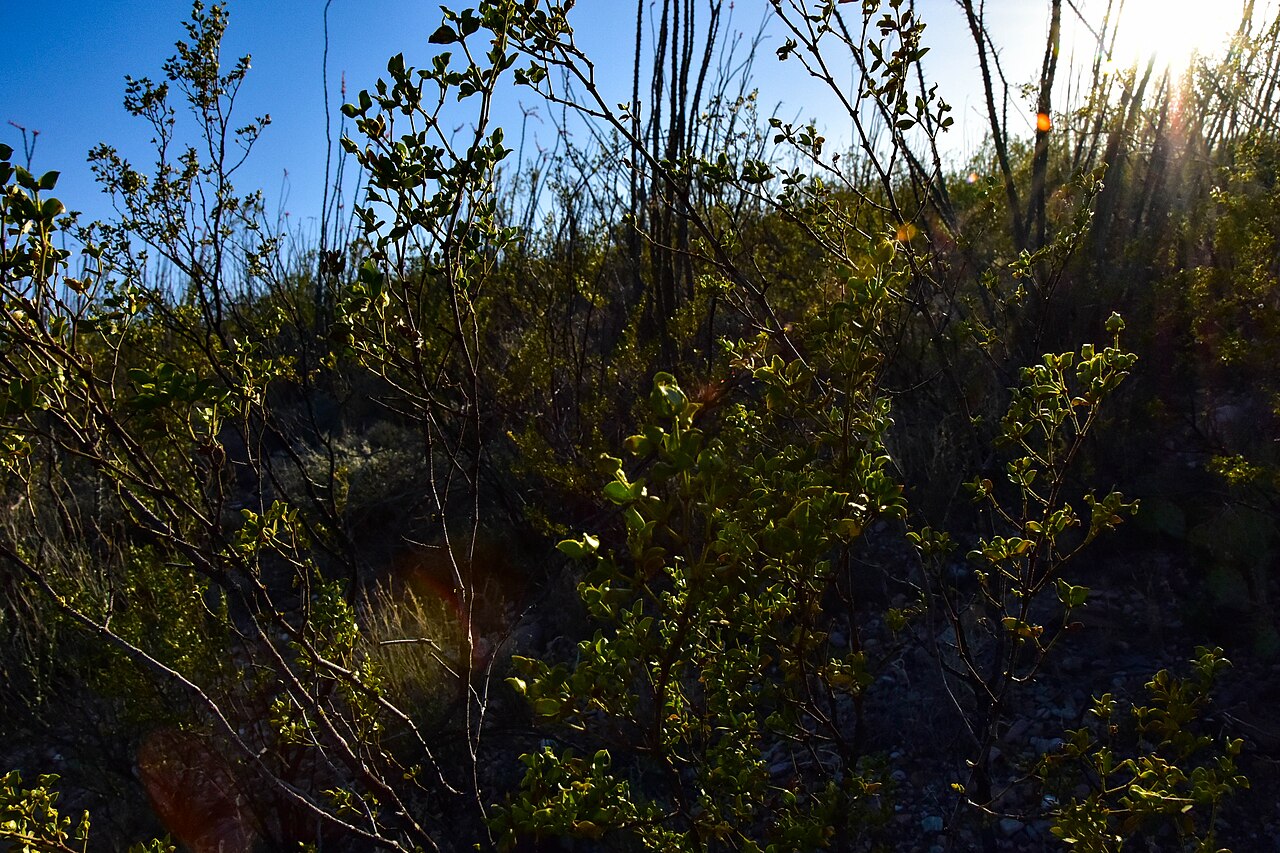
Passage 12 — water only at the ends
Oracle Ridge (Passage 12) has almost no natural water and little shade along its long, exposed descent. The ATA lists only Summerhaven at the start and High Jinks Ranch mid-passage as sources, so leave Summerhaven with a full load to cover the dry, hot ridge down to Oracle.
By the numbers
- Elevation of Grass Shack campground (ft)
- 5300 ft
- Approximate elevation at the Italian Spring trail junction (ft)
- 6708 ft
Matched pairs
Each item on the left goes with the one on the right.
- Manning Camp to Italian Spring (Passage 9)
- About 3–4 miles, descending from ~7,920 ft to ~6,708 ft
Self-test
Answer each question from memory, then check your work against the answer key.
1. Which source is the first seasonal water northbound in Passage 9, draining the largest watershed in the Rincons?
- ARincon Creek
- BChimenea Creek
- CGrass Shack
- DCienega Creek
2. Near the Saguaro NP boundary, which seasonal source is the effective last fill before the long Passage 9 climb?
- ARincon Creek
- BItalian Spring
- CGrass Shack
- DChimenea Creek
3. What is the approximate elevation of Grass Shack, the mid-Passage 9 campsite and water source?
- AAbout 6,708 ft
- BAbout 7,920 ft
- CAbout 5,300 ft
- DAbout 4,200 ft
4. Italian Spring, on Mica Mountain's north descent, sits at roughly what elevation?
- AAbout 7,920 ft
- BAbout 5,300 ft
- CAbout 3,500 ft
- DAbout 6,708 ft
5. Which of these is NOT a Rincon (Passage 8-9) water source?
- ALemmon Creek
- BGrass Shack
- CChimenea Creek
- DItalian Spring
6. Which Rincon source is generally the most dependable water on the stretch?
- AItalian Spring
- BCienega Creek
- CManning Camp
- DGrass Shack
7. Near the top of the Rincon climb, at what approximate elevation is Manning Camp?
- AAbout 5,300 ft
- BAbout 7,920 ft
- CAbout 6,000 ft
- DAbout 6,708 ft
8. How long is the carry from Manning Camp down to Italian Spring in Passage 9?
- AAbout 10 to 12 miles
- BLess than a mile
- CAbout 7 miles
- DAbout 3 to 4 miles
9. Roughly how much elevation does the trail lose from Manning Camp to Italian Spring?
- AAbout 1,200 feet
- BAbout 400 feet
- CAbout 2,500 feet
- DAbout 3,800 feet
10. Descending north from Manning Camp, which named water source comes next, about 3 to 4 miles down?
- AChimenea Creek
- BItalian Spring
- CGrass Shack
- DCaliente Creek
11. Which Passage 10 creek runs only seasonally under big cottonwoods and is flagged by the ATA as 'not reliable'?
- ALemmon Creek
- BChimenea Creek
- CCaliente Creek
- DWest Fork of Sabino Canyon
12. On Passage 11, which seasonal source flows high up near Marshall Saddle?
- AHigh Jinks Ranch
- BHutch's Pool
- CCaliente Creek
- DLemmon Creek
13. On the dry Oracle Ridge (Passage 12), the ATA lists only Summerhaven and which mid-passage source?
- ARomero Pass
- BHutch's Pool
- CMolino Basin
- DHigh Jinks Ranch
14. Which of these is NOT a Catalina or Redington (Passage 10-12) water source?
- ACaliente Creek
- BHigh Jinks Ranch
- CGrass Shack
- DLemmon Creek
15. What happens to the water at Molino Basin Campground each spring?
- AShut off when the camp closes
- BPiped on to Gordon Hirabayashi
- CFlows only after the monsoon
- DTurned on for spring hikers
Go deeper
Answer key
- 1. B Chimenea CreekChimenea Creek is the first seasonal water after entering Saguaro NP in Passage 9 and drains the largest watershed in the Rincons. Rincon Creek and Cienega Creek sit lower in Passage 8.
- 2. A Rincon CreekRincon Creek, near Passage 8's northern end at the park boundary, carries seasonal flow and is the last reliable water before the climb. Chimenea, Grass Shack, and Italian Spring lie higher in Passage 9.
- 3. C About 5,300 ftGrass Shack sits at about 5,300 ft along Chimenea Creek. 6,708 ft is Italian Spring and 7,920 ft is Manning Camp, both higher on the climb.
- 4. D About 6,708 ftThe Italian Spring trail junction is around 6,708 ft, below Manning Camp (7,920 ft) and above Grass Shack (5,300 ft).
- 5. A Lemmon CreekLemmon Creek is a Catalina source near Marshall Saddle in Passage 11. Chimenea Creek, Grass Shack, and Italian Spring are all Rincon sources in Passages 8-9.
- 6. C Manning CampManning Camp (about 7,920 ft), near the top of the Rincon climb, is generally the single most dependable source on the segment.
- 7. B About 7,920 ftManning Camp sits at about 7,920 ft, the high point among the named Rincon sources. Italian Spring is ~6,708 ft and Grass Shack ~5,300 ft.
- 8. D About 3 to 4 milesThe Manning-to-Italian-Spring leg runs only about 3 to 4 miles, a short and useful figure when rationing water on the descent.
- 9. A About 1,200 feetThe leg is a gentle descent of roughly 1,200 feet, from about 7,920 ft at Manning down to about 6,708 ft at Italian Spring.
- 10. B Italian SpringItalian Spring (about 6,708 ft) lies 3 to 4 miles and roughly 1,200 ft below Manning Camp on Mica Mountain's north side. Grass Shack and Chimenea Creek are below Manning on the southern climb; Caliente Creek is on Passage 10.
- 11. C Caliente CreekCaliente Creek, crossed early in Passage 10, runs only seasonally and the ATA flags the section as 'not reliable.' Lemmon Creek and Sabino Canyon are Passage 11 sources.
- 12. D Lemmon CreekLemmon Creek flows seasonally high near Marshall Saddle. Hutch's Pool is the dependable low source, and High Jinks Ranch is a Passage 12 source on Oracle Ridge.
- 13. D High Jinks RanchThe ATA lists only Summerhaven at the top and High Jinks Ranch mid-passage for the shadeless Passage 12 descent to Oracle. Romero Pass has no spring on the main route.
- 14. C Grass ShackGrass Shack is a Rincon source on Passage 9. Caliente Creek (P10), Lemmon Creek (P11), and High Jinks Ranch (P12) all lie in the drier Catalina/Redington stretch.
- 15. A Shut off when the camp closesMolino Basin Campground's water is shut off when the campground closes each spring, usually by the end of April. Gordon Hirabayashi Campground a little farther on has no water at all.
Image credits
- Passage 12 — water only at the ends: Wikimedia Commons · BLMArizona · Public domain — commons.wikimedia.org/wiki/File%3AArizona%20National%20Scenic%20Trail%20(41146291095).jpg
