
U.S. National Parks
All 64 U.S. national parks — the people who saved them, how the landscapes formed, the wildlife and records, and a vivid profile of every park from Acadia to Zion. America's best idea, one card at a time.
1,779 cards27 lessons62 video lessonsFree
Already have FlashFeed?Open this pack
Get this pack on your phone
Scan with your phone's camera.
flashfeedlearningapp.com/packs/national-parks
Part of the Curious Minds collection.


27 lessons.
Each lesson has a study guide to read and objectives you can test yourself on. Its cards and games show up in your feed. Try one of its cards right here. Play a few of its games here too. 21 lessons have a short video.
-
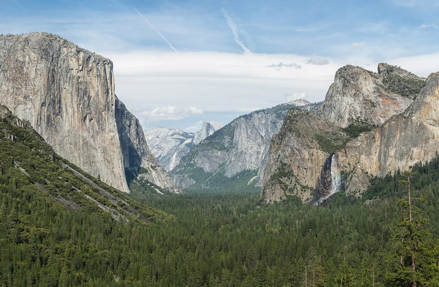 Diliff · CC BY-SA 3.0 ↗01
Lesson 1: America's Best Idea
Part 1: How the Parks Came to Be · Part 2: The System by the Numbers
Lesson 1 · 10 cardsDiliff · CC BY-SA 3.0 ↗America's best idea
When Yellowstone was set aside in 1872, no nation had ever done such a thing — protected a vast tract of wild land not for a king or an army, but for everyone, forever. The writer Wallace Stegner called the national parks "the best idea we ever had… absolutely democratic, they reflect us at our best."
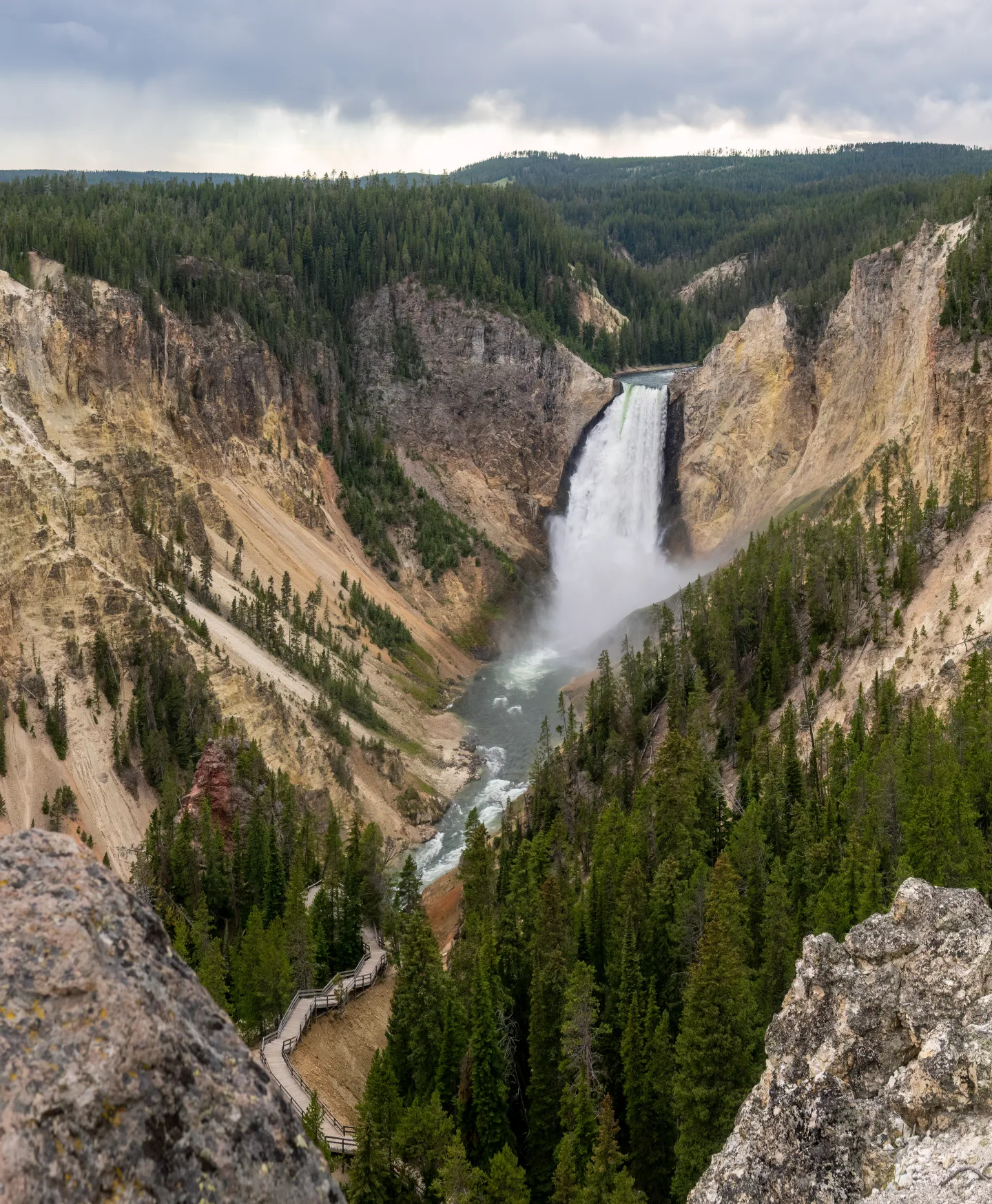 Wikimedia Commons · Rhododendrites · CC BY-SA 4.0 ↗
The first national park
On March 1, 1872, President Ulysses S. Grant signed Yellowstone into being — the world's first national park. The idea spread across the globe; today more than 100 nations have national parks of their own, all tracing back to that one signature.
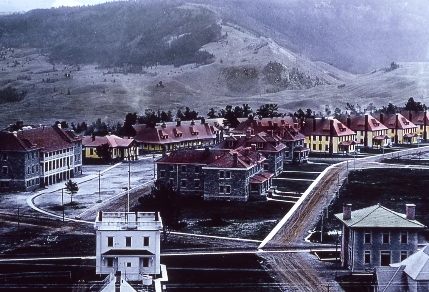 Wikimedia Commons · Unknown author · Public domain ↗
The National Park Service is born
For 44 years the parks had no agency to run them — the U.S. Cavalry even guarded Yellowstone. That changed on August 25, 1916, when the Organic Act, signed by President Woodrow Wilson, created the National Park Service to conserve the parks "unimpaired for the enjoyment of future generations."
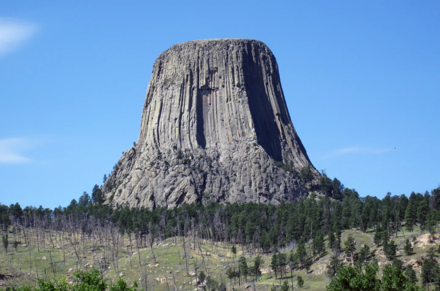 Wikimedia Commons · James St. John · CC BY 4.0 ↗
The Antiquities Act
In 1906, the Antiquities Act gave presidents the power to protect special places instantly by proclaiming them national monuments. Theodore Roosevelt used it first on Devils Tower, then on the Grand Canyon — many of today's national parks began life as monuments saved this way.
 Wikimedia Commons · Mr. David Sinson, NOAA, Office of Coast Survey · Public domain ↗
From the tiniest to the titanic
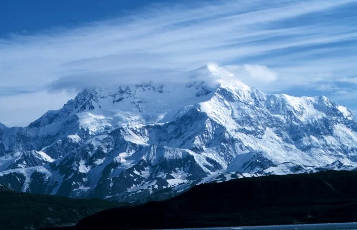
The parks span almost unimaginable extremes. The smallest, Gateway Arch in St. Louis, has only about 193 acres within its boundary; the largest, Wrangell–St. Elias in Alaska, sprawls across 13.2 million acres — bigger than Switzerland, and larger than the nine smallest parks combined many times over.
 AI-generated (gpt-image-1.5)
The most visited park
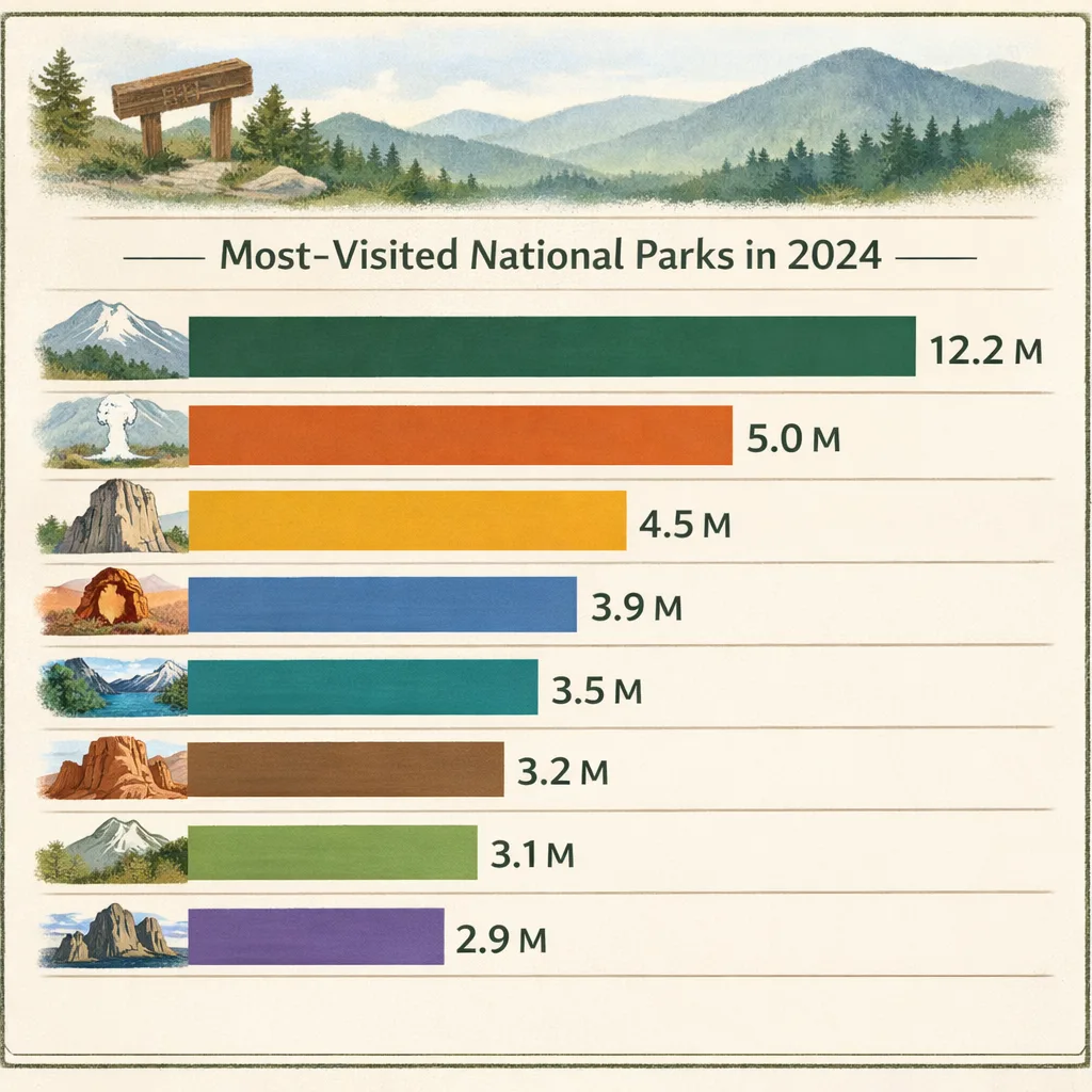
Great Smoky Mountains, straddling Tennessee and North Carolina, is by far the most-visited national park — about 12.2 million visits in 2024, more than double its nearest rival. It charges no entrance fee, which helps explain the crowds.
 Wikimedia Commons · Denali National Park and Preserve · Public domain ↗
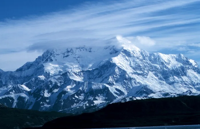
Denali
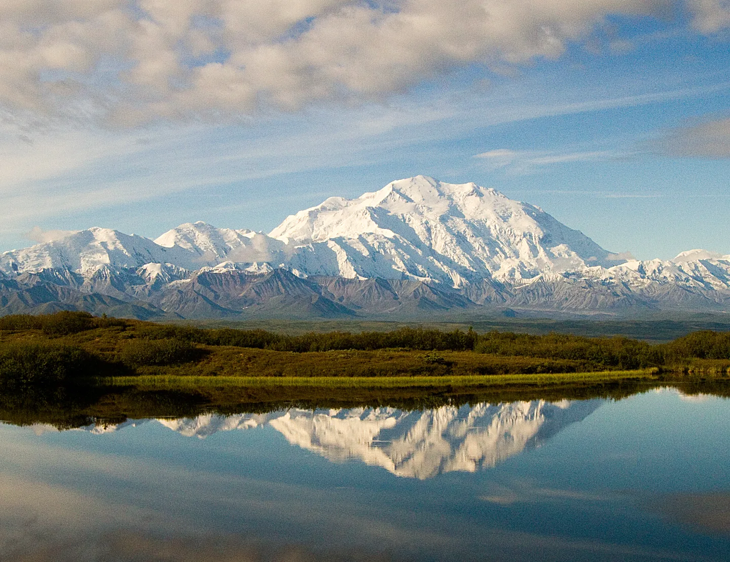
Denali in Alaska is the highest point found in any U.S. national park — and the tallest peak on the entire North American continent.
 Pexels · John De Leon · Pexels License ↗
Alaska's big four
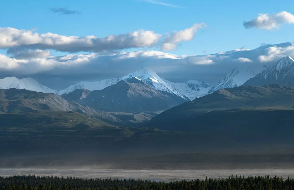
The four largest national parks in the U.S. system are all located in Alaska, where the sheer scale of the land dwarfs the Lower 48 states.
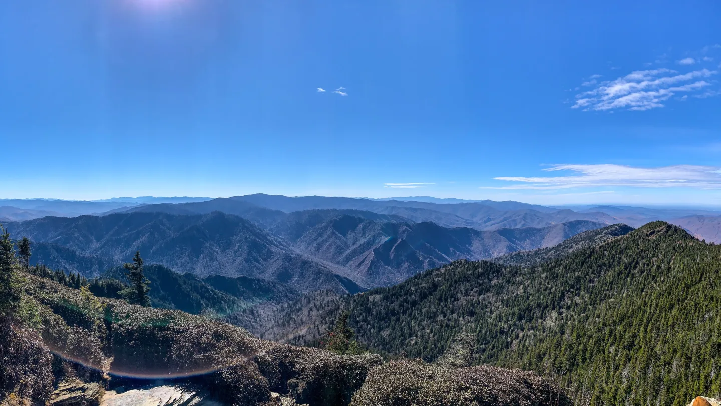 Wikimedia Commons · AppalachianCentrist · CC BY-SA 4.0 ↗
The Smokies in 2024
Great Smoky Mountains National Park logged about 12.2 million visits in 2024 — more than double the visitor count of the next-busiest national park.
1 / 10In what year was Yellowstone established as the world's first national park?
Yellowstone was signed into law on March 1, 1872 — the world's first national park. 1906 was the year of the Antiquities Act and 1916 created the National Park Service, so those later dates are wrong.
Lesson 1 has 62 cards. Keep going in the free app.
Question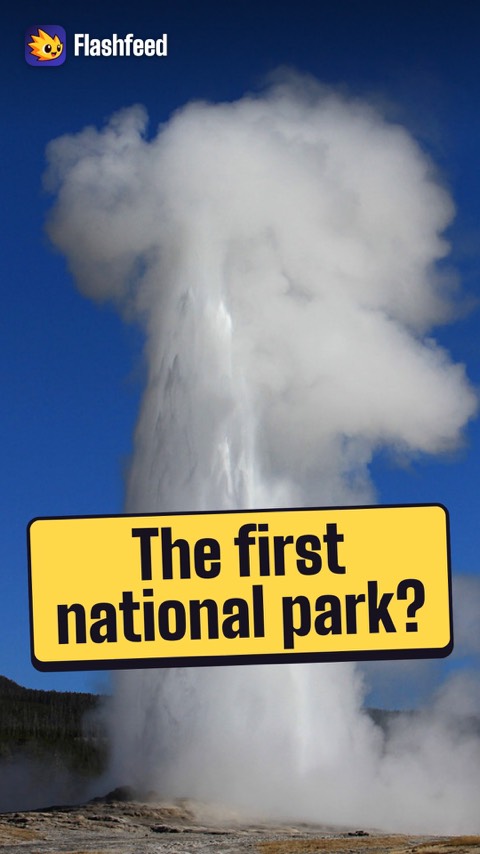
No Park Anywhere Before 1872 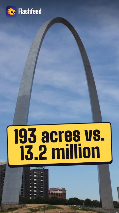
From 193 Acres to 13 Million All 33 clips on YouTube ↗Transcripts
No Park Anywhere Before 1872
Before 1872, no country on Earth had a national park. Then Yellowstone became the first.
For 44 years, the parks had no agency to run them. Soldiers patrolled them, including the Buffalo Soldiers.
In 1916, the National Park Service was born. Its charge: keep the parks unimpaired for the enjoyment of future generations.
Today the system has more than 400 units. Only 64 carry the full national park title.
From 193 Acres to 13 Million
The smallest national park is Gateway Arch in St. Louis: just 193 acres.
The largest is Wrangell–St. Elias in Alaska: 13.2 million acres. That's bigger than Switzerland.
The most visited is Great Smoky Mountains, with about 12.2 million visits in 2024. It charges no entrance fee.
The least visited is Gates of the Arctic: around 11,900 visits in a year.
-
 Wikimedia Commons · Mr. David Sinson, NOAA, Office of Coast Survey · Public domain ↗02
Lesson 2: The Story of the Parks
Guardians of the Parks · Milestones
Lesson 2 · 10 cards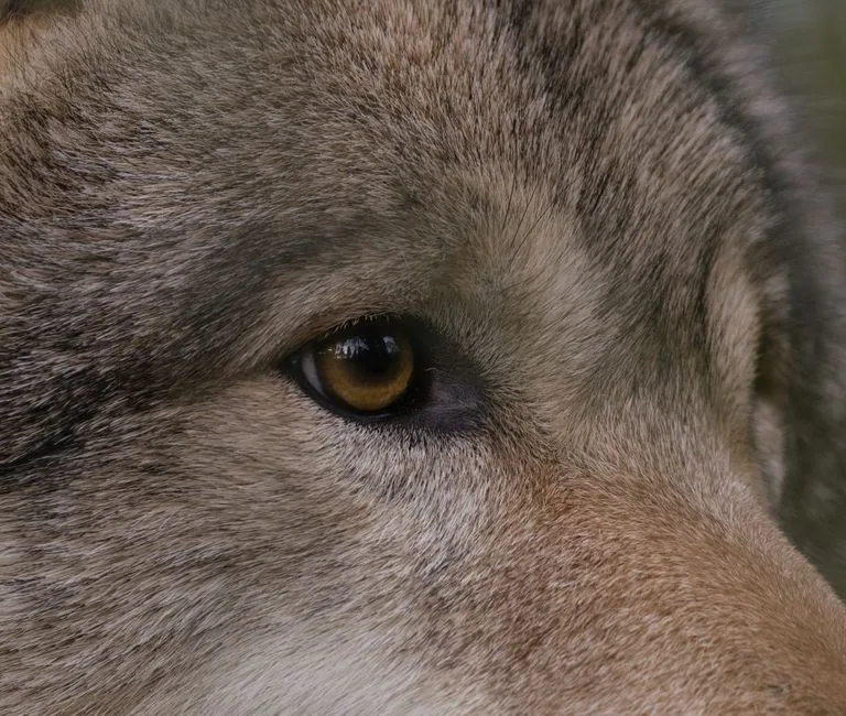 Pexels · Ellie Burgin · Pexels License ↗
The Green Fire
Aldo Leopold watched 'the green fire' fade from a dying wolf's eyes and renounced his youthful war on wolves, articulating the 'land ethic' in his 1949 book A Sand County Almanac.
 AI-generated (gpt-image-1.5)
Forest and Stream's Editor
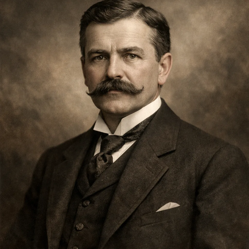
George Bird Grinnell edited the magazine Forest and Stream, founded the first Audubon Society in 1886, and championed the creation of Glacier National Park.
 USDAgov (Openverse) · pdm 1.0 ↗
Silent Spring, 1962
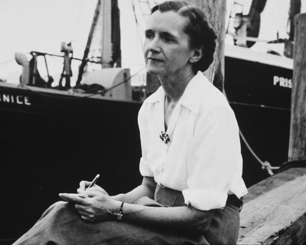
Rachel Carson's 1962 book Silent Spring launched the modern environmental movement and directly led to the banning of the pesticide DDT.
Wikimedia Commons · Mr. David Sinson, NOAA, Office of Coast Survey · Public domain ↗The Day the Parks Doubled
On December 2, 1980, President Jimmy Carter signed the Alaska National Interest Lands Conservation Act — ANILCA. In a single stroke it created or expanded a constellation of Alaskan parks: Gates of the Arctic, Kobuk Valley, Lake Clark, Wrangell–St. Elias, Kenai Fjords, plus huge additions to Katmai, Glacier Bay, and Denali. The act more than doubled the acreage of the entire National Park System — the largest expansion of protected land in American history.
 Unsplash · Eva Blue · Unsplash License ↗
The Wolves Come Home
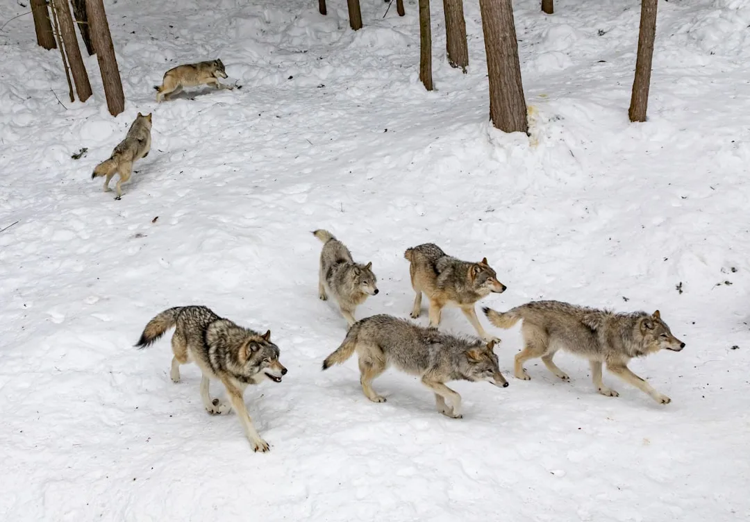
In 1995 and 1996, gray wolves were trucked from Canada and released into Yellowstone after roughly 70 years of absence. What followed became a textbook case of a trophic cascade: wolves thinned and moved the elk herds, willows and aspen recovered along streams, beavers and songbirds returned, and even riverbanks stabilized. The return of a single predator rippled through an entire ecosystem.
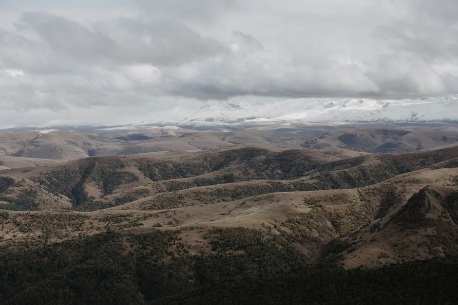 Pexels · Kirill Lazarev · Pexels License ↗
Off Limits Forever
The Wilderness Act of 1964 created the National Wilderness Preservation System, closing the wildest backcountry areas to roads and machines for good.
 Ken Lund (Openverse) · by-sa 2.0 ↗
Before Yellowstone
In 1832, decades before Yellowstone existed, Congress reserved Hot Springs, Arkansas as a federal reservation to protect its thermal waters — an early instance of the government holding land for the public.
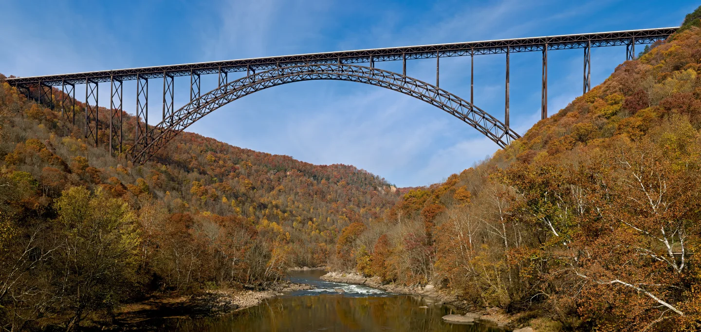 JaGa (Openverse) · by-sa 4.0 ↗
The 63rd National Park
New River Gorge in West Virginia became the National Park System's 63rd national park in 2020 — West Virginia's first.
1 / 10Who founded the Sierra Club in 1892 and is called the 'Father of the National Parks'?
The Scottish-born John Muir founded the Sierra Club in 1892 and earned the title 'Father of the National Parks.' Mather ran the NPS, Grinnell championed Glacier, and Roosevelt was the Conservation President.
Lesson 2 has 59 cards. Keep going in the free app.
Question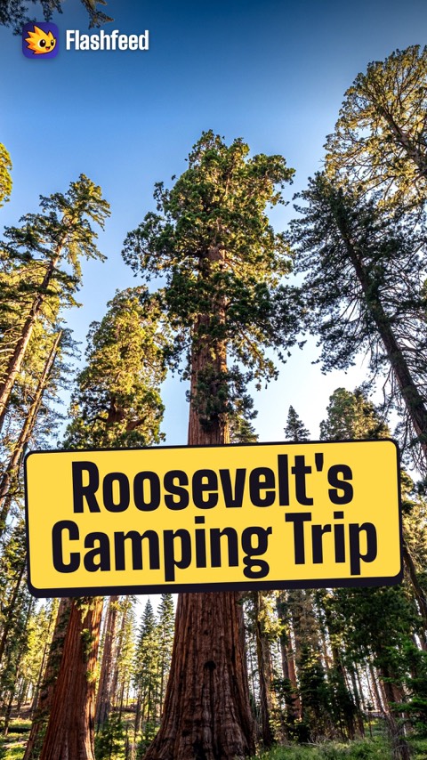
Three Nights in Yosemite 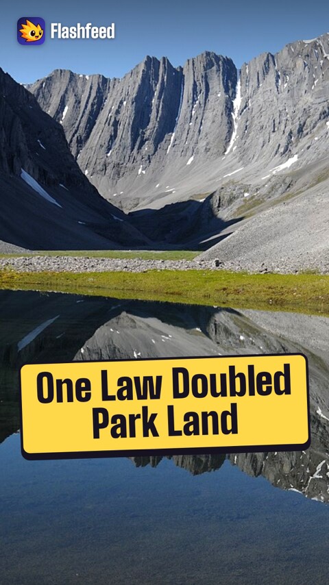
The Day the Parks Doubled All 33 clips on YouTube ↗Transcripts
Three Nights in Yosemite
In May 1903, John Muir took President Theodore Roosevelt camping in Yosemite, away from his official entourage.
Over 3 nights, they slept under the giant sequoias and woke under fresh snow at Glacier Point.
Roosevelt came away resolved to expand federal protection.
Over his presidency, he proclaimed 18 national monuments and safeguarded some 230 million acres.
The Day the Parks Doubled
On December 2, 1980, President Jimmy Carter signed one law: the Alaska National Interest Lands Conservation Act.
In one stroke, it created or expanded a whole group of Alaskan parks, from Gates of the Arctic to Kenai Fjords.
It more than doubled the acreage of the entire National Park System.
That's why so much of Alaska is, in effect, one enormous park.
-
 Carsten Steger · CC BY-SA 4.0 ↗03
Lesson 3: How the Landscapes Formed
The Forces That Shape the Land · Reading the Rock
Lesson 3 · 8 cardsCarsten Steger · CC BY-SA 4.0 ↗The Yellowstone Hotspot
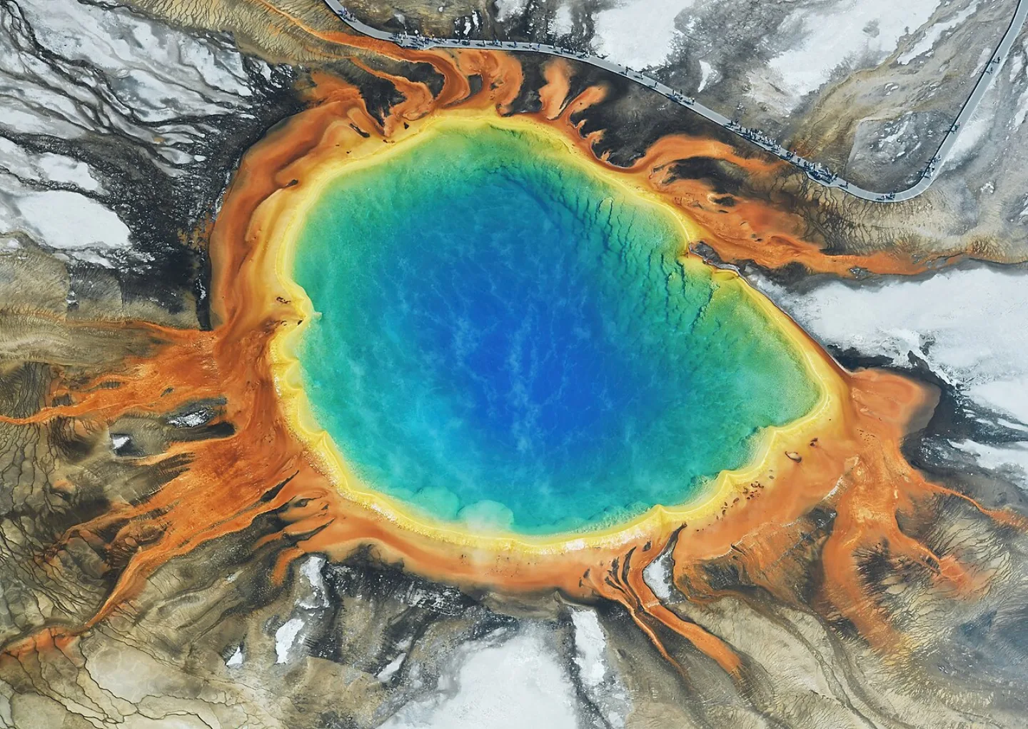
Picture a blowtorch fixed in the mantle while the continent slides over it. The Yellowstone hotspot is a plume of hot mantle rock anchored in place; as North America drifts southwest, it leaves a track of ever-older volcanic centers. The plume has fueled three cataclysmic caldera eruptions — 2.1 million, 1.3 million, and 640,000 years ago — the last carving the Yellowstone Caldera, roughly 30 by 45 miles across.
 Diliff · CC BY-SA 3.0 ↗
Rivers of Ice
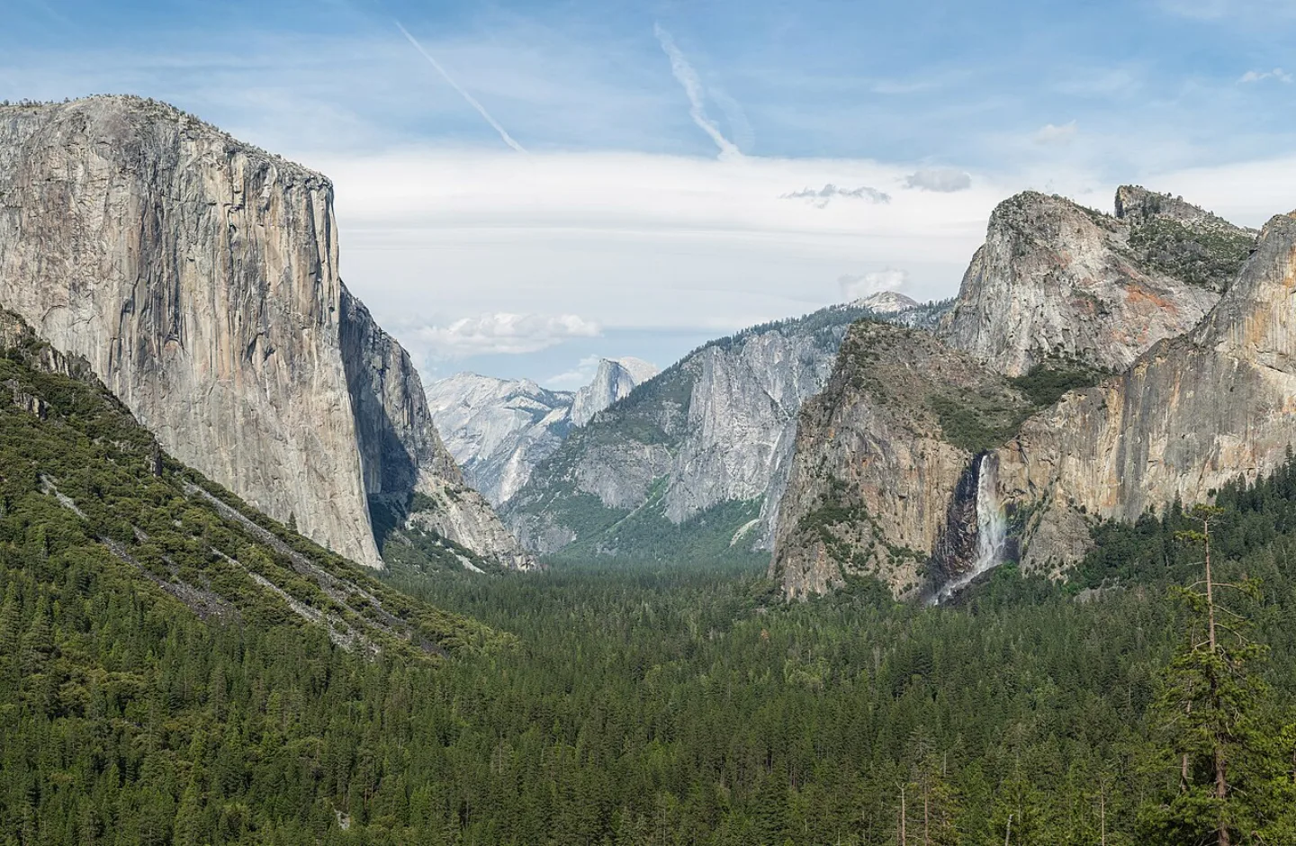
Glaciers are rivers of ice that grind valleys from V-shaped to U-shaped, scoop bowl-like cirques from mountainsides, and sharpen ridges into knife-edged arêtes and horns. Yosemite Valley is the textbook example — Half Dome and El Capitan are granite scoured and polished by Ice Age ice. In Glacier National Park, those same forces carved horns and hanging valleys, though the ice that made them is now nearly gone.
 Wikimedia Commons · Lennart Sikkema · CC BY 3.0 ↗
The River That Cut Through Time
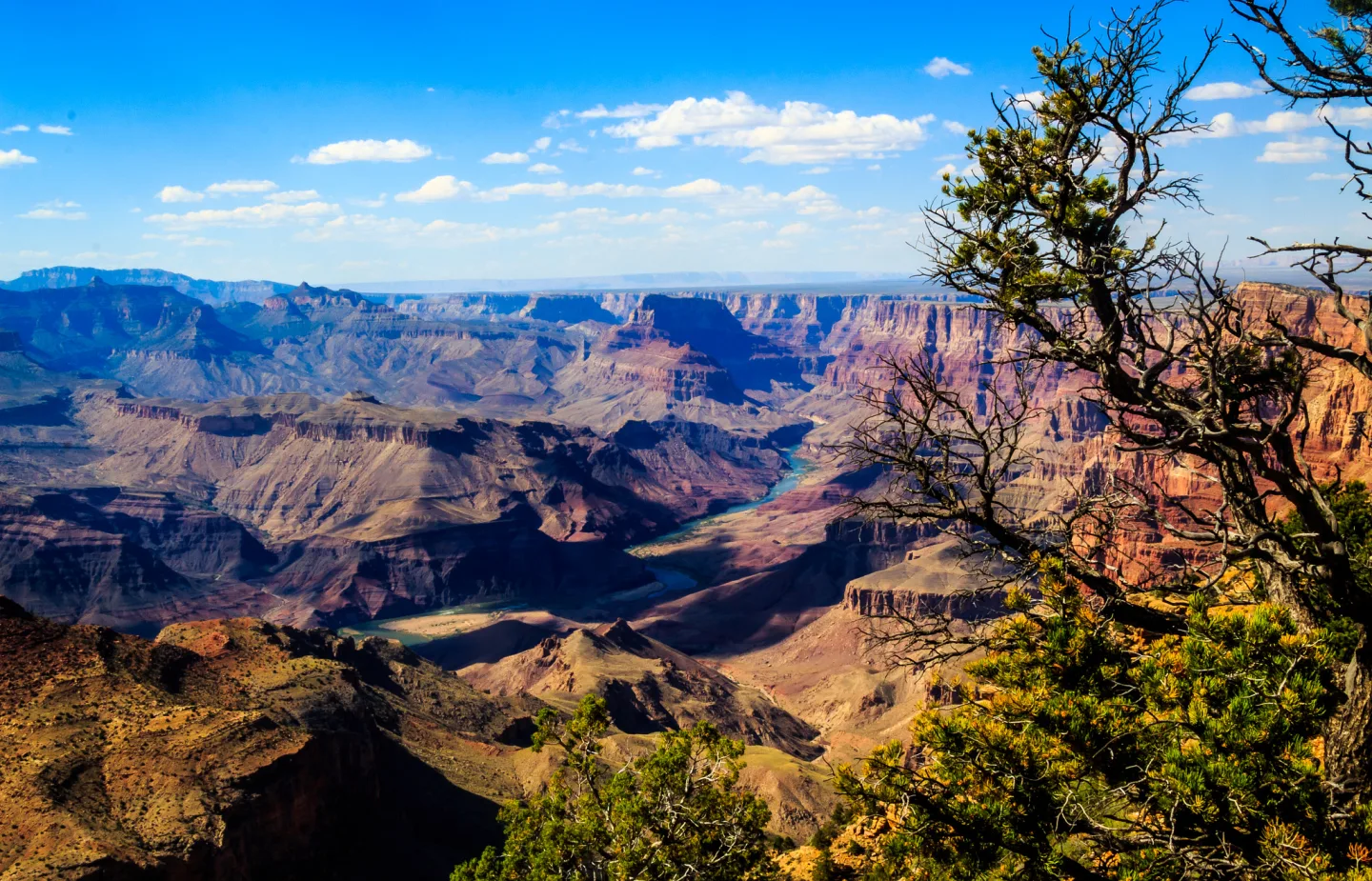
A canyon forms when a river slices downward faster than its walls can crumble back — a process that runs deepest through uplifted rock in dry country. The Colorado River has carved the Grand Canyon over the past 5–6 million years, peeling back layers that span nearly 2 billion years of Earth history, all the way down to the 1.8-billion-year-old Vishnu Schist at the bottom.
 Pexels · Misty Conaway · Pexels License ↗
No Foothills
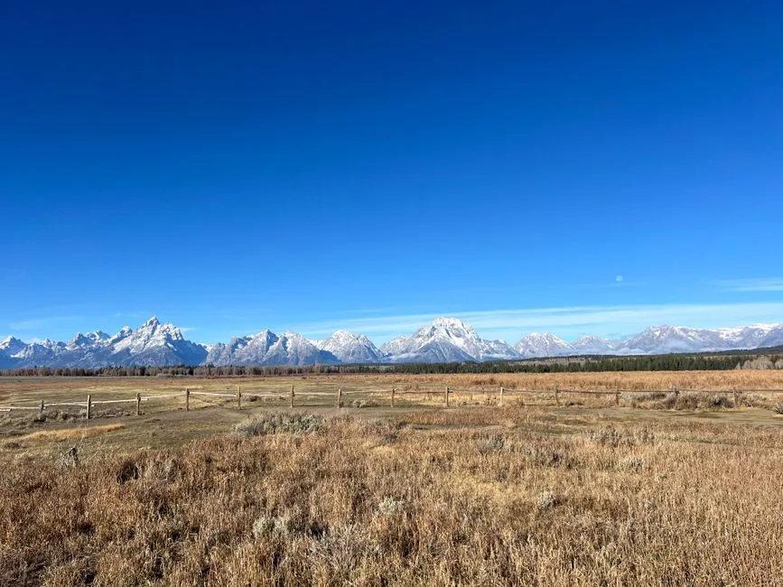
The Teton Range was thrust upward by fault-block uplift, where stretching crust breaks and tilts — a process abrupt enough that the mountains rise straight from the valley floor with no foothills.
 Christian David · CC BY-SA 4.0 ↗
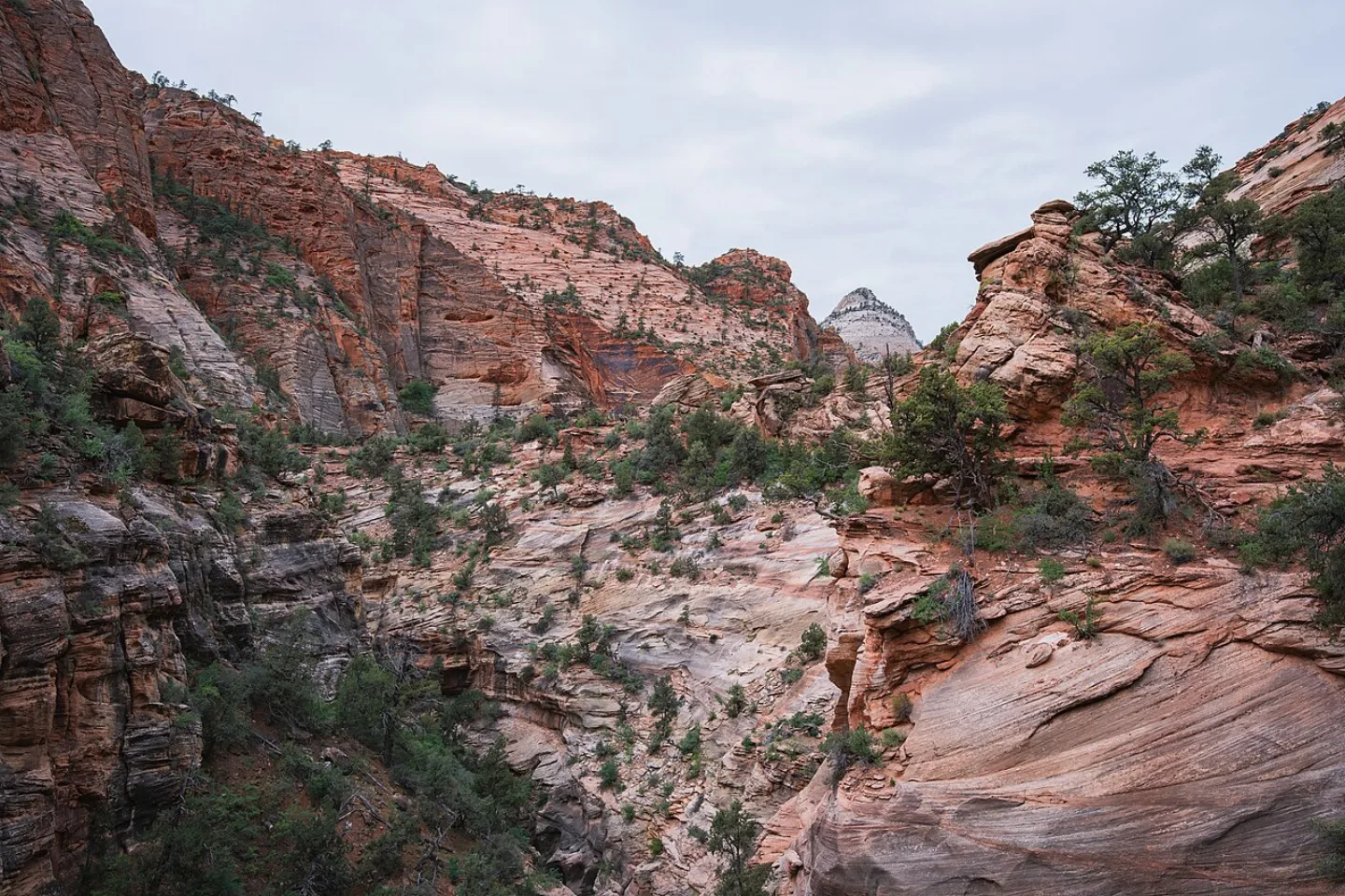
Petrified Dunes of Zion
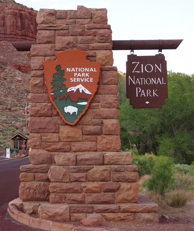
Zion's soaring walls are ancient sand dunes turned to stone. The Navajo Sandstone — hardened from a sea of prehistoric desert dunes — forms sheer cliffs up to about 2,000 feet tall. The Virgin River is still at work, slicing ever deeper into Zion Canyon and squeezing through the slot-canyon corridor known as The Narrows.
 Wikimedia Commons · USGS/USGov · Public domain ↗
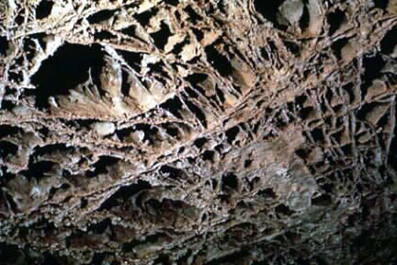
The Honeycomb of Wind Cave
Some of the rarest cave decoration on Earth hangs from the ceilings of Wind Cave in South Dakota. Boxwork — a delicate honeycomb of thin calcite fins left behind after the surrounding rock dissolved away — is so unusual that Wind Cave contains an estimated 95% of all the boxwork known in the world.
 Wikimedia Commons · Thomas Wolf, www.foto-tw.de · CC BY-SA 3.0 ↗
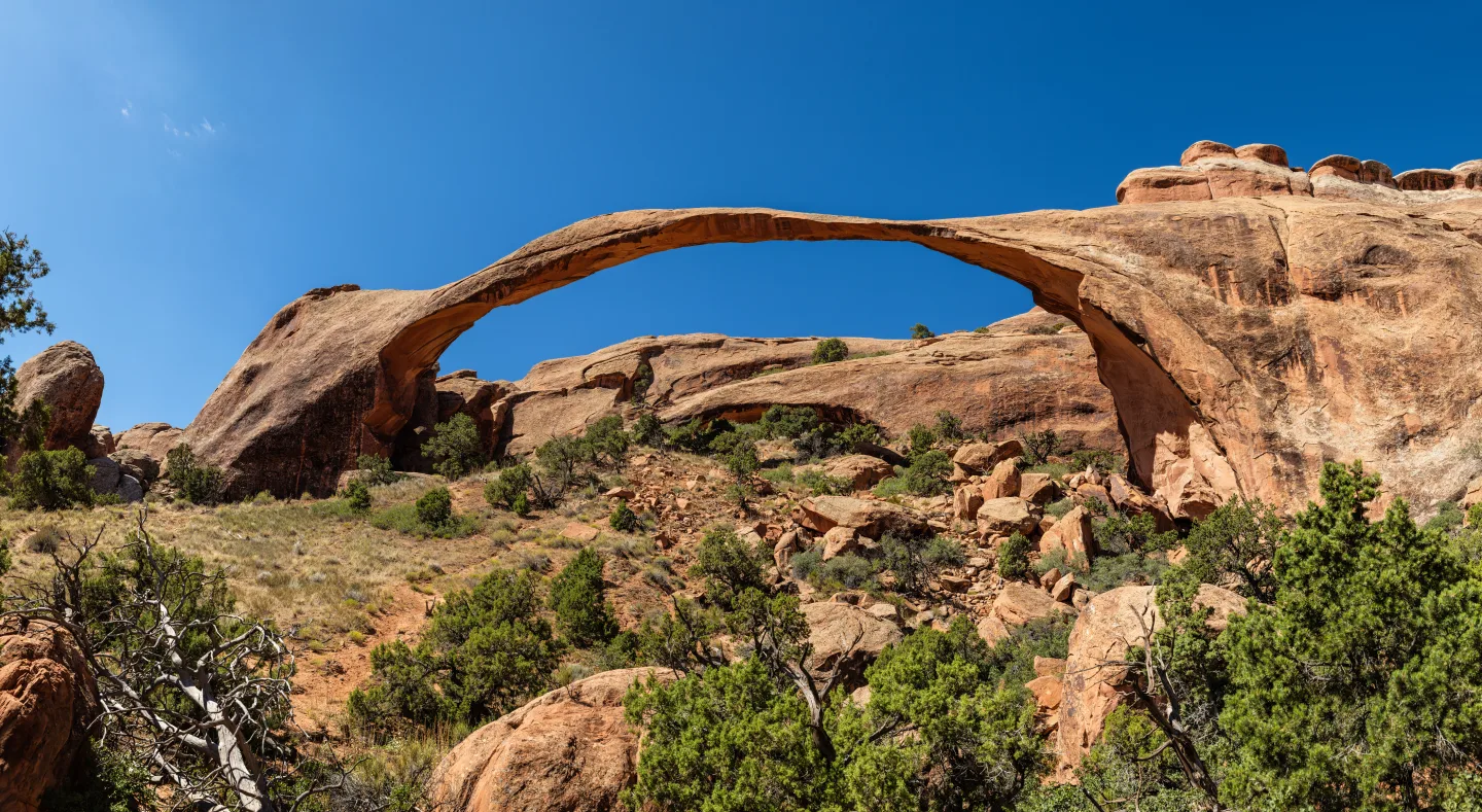
Landscape Arch's 290 Feet
Arches National Park in Utah has catalogued more than 2,000 natural stone arches, openings formed as water and ice widen cracks in a sandstone fin until a hole breaks clean through. Its slender Landscape Arch spans 290 feet.
 YellowstoneNPS (Openverse) · pdm 1.0 ↗
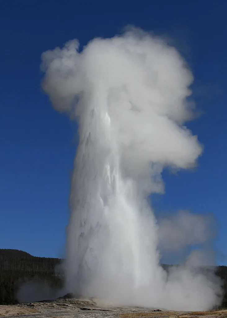
Heated From Below
Old Faithful, Yellowstone's clockwork landmark, is a geyser — a geothermal feature driven by groundwater heated by shallow magma, unlike erosional rock features such as arches and hoodoos.
1 / 8Which force built the volcanic arc of the Cascade Range — Rainier, Lassen, and North Cascades?
Subduction, where one plate dives beneath another, builds volcanic arcs like the Cascades. Fault-block uplift raised the Tetons, and karst and wind shaped caves and dunes, not volcanoes.
Lesson 3 has 74 cards. Keep going in the free app.
Question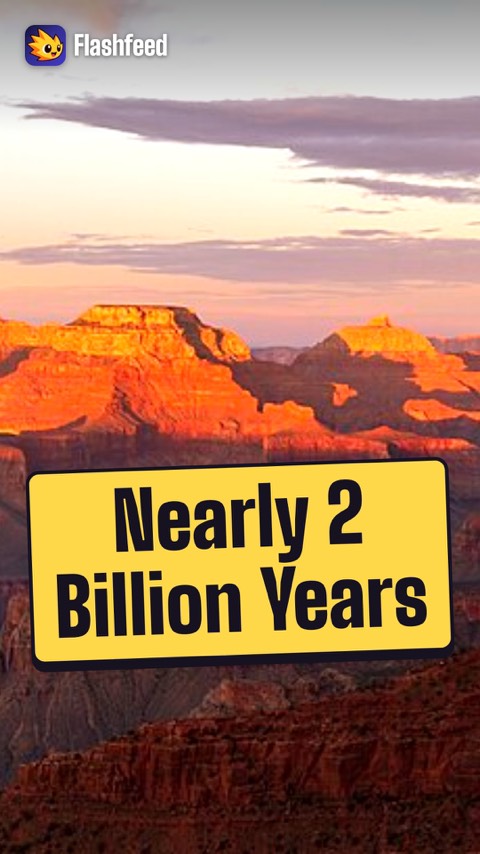
Two Billion Years in One Canyon 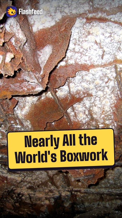
The Cave With the World's Boxwork All 33 clips on YouTube ↗Transcripts
Two Billion Years in One Canyon
Read the Grand Canyon from rim to river, and you read time.
The Colorado River carved it over the past 5 to 6 million years. A canyon forms when a river cuts down faster than its walls wear back.
The walls expose rock layers that span nearly 2 billion years of Earth history.
At the bottom lies the Vishnu Schist: rock 1.8 billion years old.
The Cave With the World's Boxwork
Every park has its own vocabulary of stone. One of the rarest words is boxwork.
Boxwork is a honeycomb of thin calcite fins on a cave ceiling. The fins were left jutting out after the softer rock around them dissolved away.
In South Dakota, Wind Cave is thought to hold about 95% of all the boxwork known in the world.
One cave holds nearly the planet's entire supply.
-
 Frank Schulenburg · CC BY-SA 4.0 ↗04
Lesson 4: Wildlife of the Parks
Icons of the Wild · Keystones & Comebacks
Lesson 4 · 10 cardsFrank Schulenburg · CC BY-SA 4.0 ↗American Bison
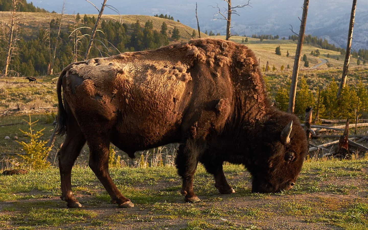
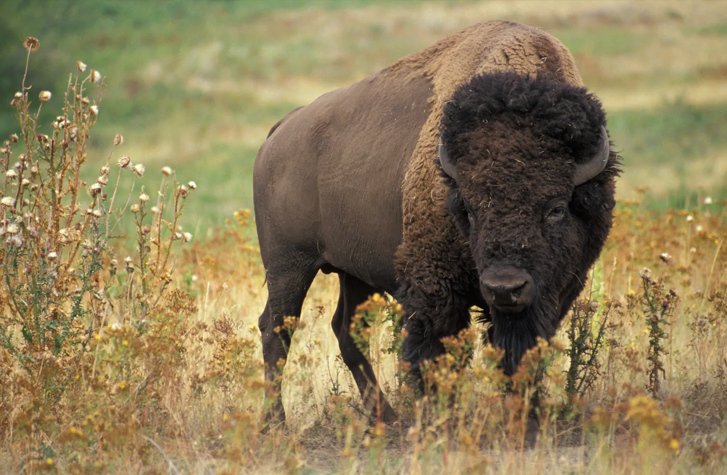
Yellowstone holds the largest wild, free-ranging bison herd on Earth — roughly 4,000 to 6,000 animals — and is the only place in the U.S. where bison have lived continuously since prehistoric times. Once 30 to 60 million strong across the continent, they were hunted down to fewer than 1,000 by the 1880s. Wind Cave and Theodore Roosevelt protect genetically important herds too.
 Jean Beaufort · CC0 ↗
Grizzly Bear
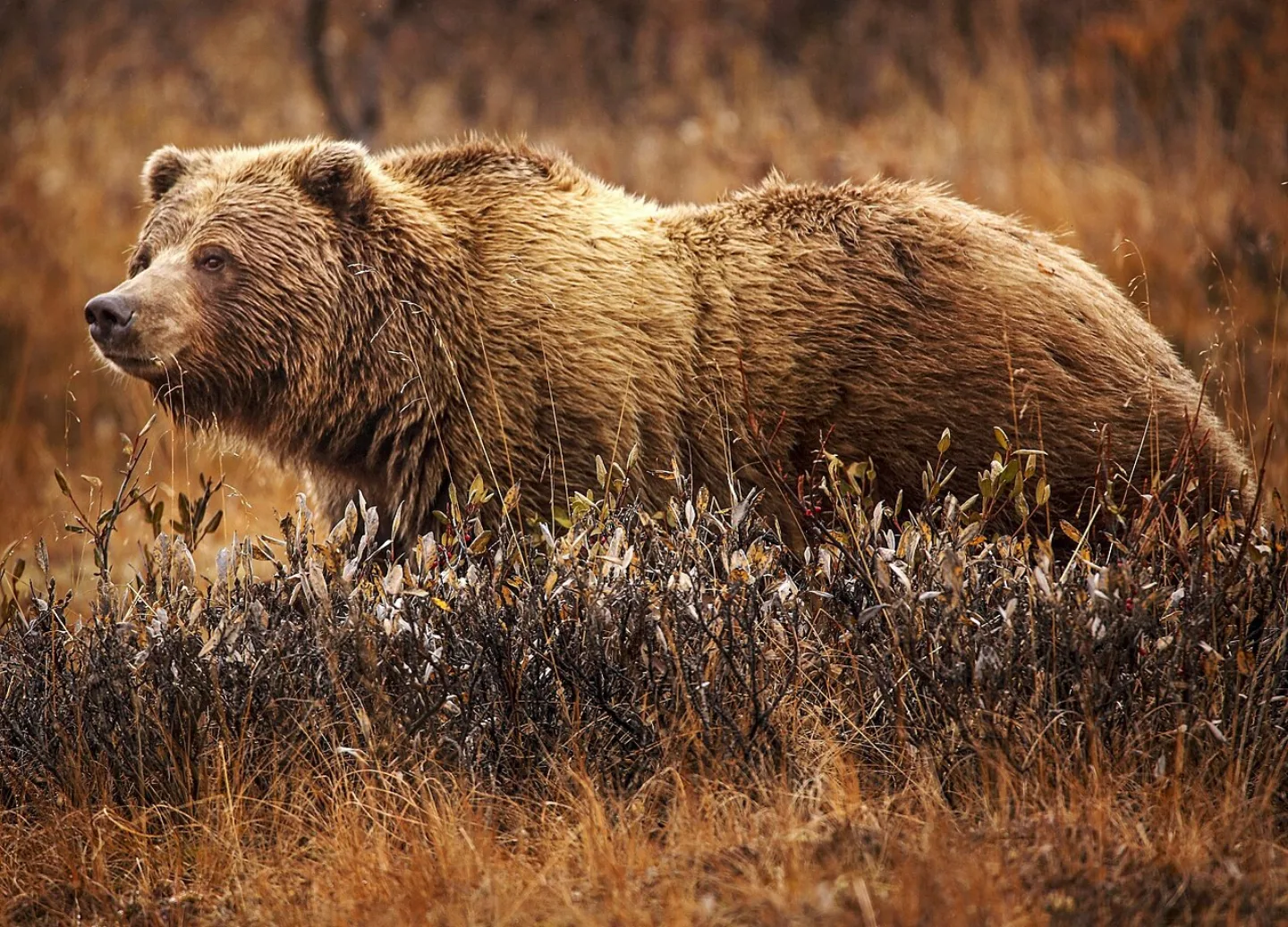
The Greater Yellowstone Ecosystem holds about 1,000 grizzlies — up from roughly 136 in 1975, when the bear was listed as threatened. Glacier's Northern Continental Divide Ecosystem holds about 1,000 more. Tell a grizzly from a black bear by its shoulder hump, dished face, and long front claws.
 Campbell William, U.S. Fish and Wildlife Service · Public domain ↗
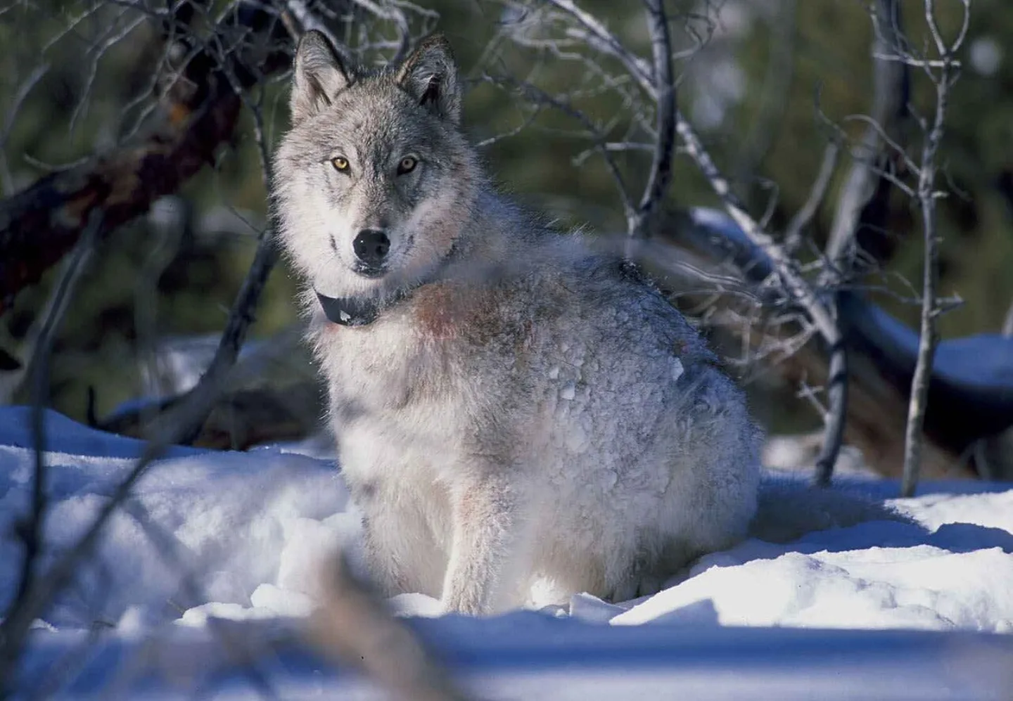
Gray Wolf & the Trophic Cascade
Wolves were reintroduced to Yellowstone in 1995–96; today about 100–125 live in 8–10 packs. Their return is a textbook trophic cascade: by thinning and moving elk herds, wolves let willows and aspen recover, which brought back beavers, songbirds, and even reshaped streambanks. One predator rippled through an entire ecosystem.
 Los Paseos from Earth · CC BY-SA 2.0 ↗
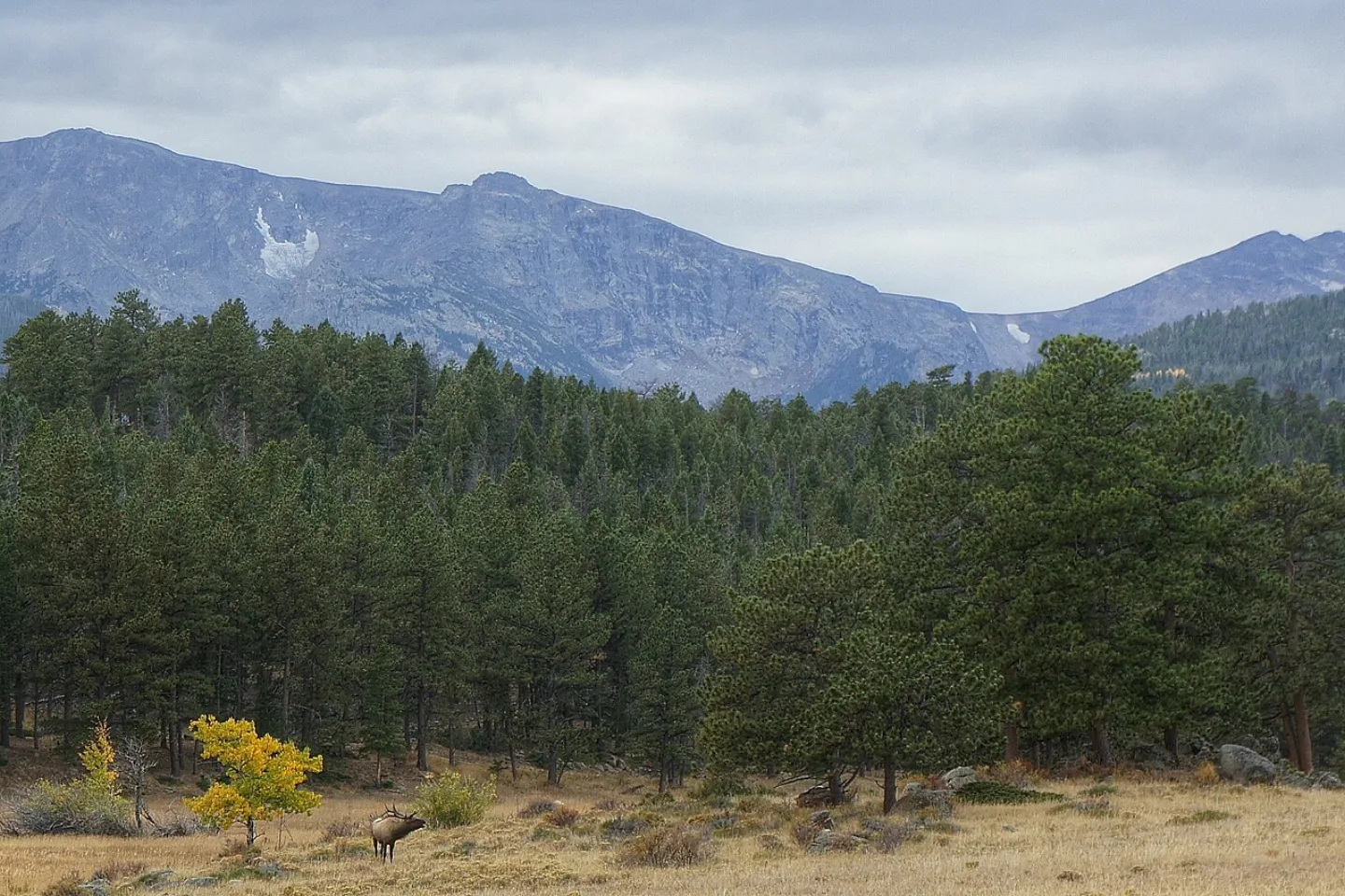
Elk and Moose
Each autumn, Rocky Mountain National Park's elk rut draws crowds to hear bull elk bugling across the meadows. The moose is the largest deer of all — and on Isle Royale, the moose–wolf predator-prey system has been studied continuously since 1958, the longest-running study of its kind in the world.
 Wikimedia Commons · Robert M. Russell · CC BY-SA 4.0 ↗
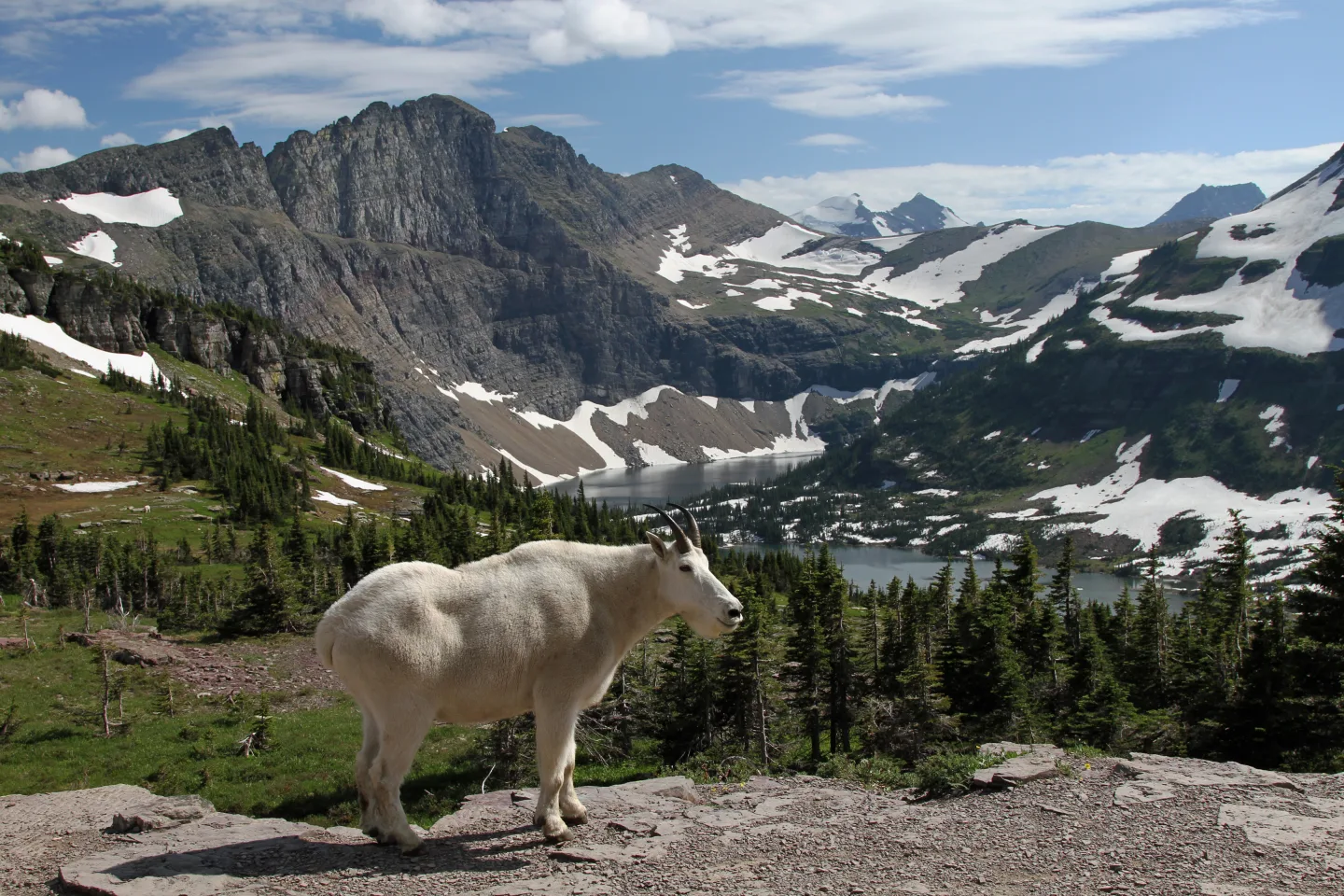
Mountain Goat vs. Bighorn Sheep
These high-country look-alikes are easy to tell apart. Mountain goats are all white with short black horns — and despite the name, they aren't true goats. Bighorn sheep are brown with massive curling horns. Both roam Glacier and Rocky Mountain; the mountain goats in the Tetons and Olympic are partly introduced.
 Mr. Satterly · CC0 ↗
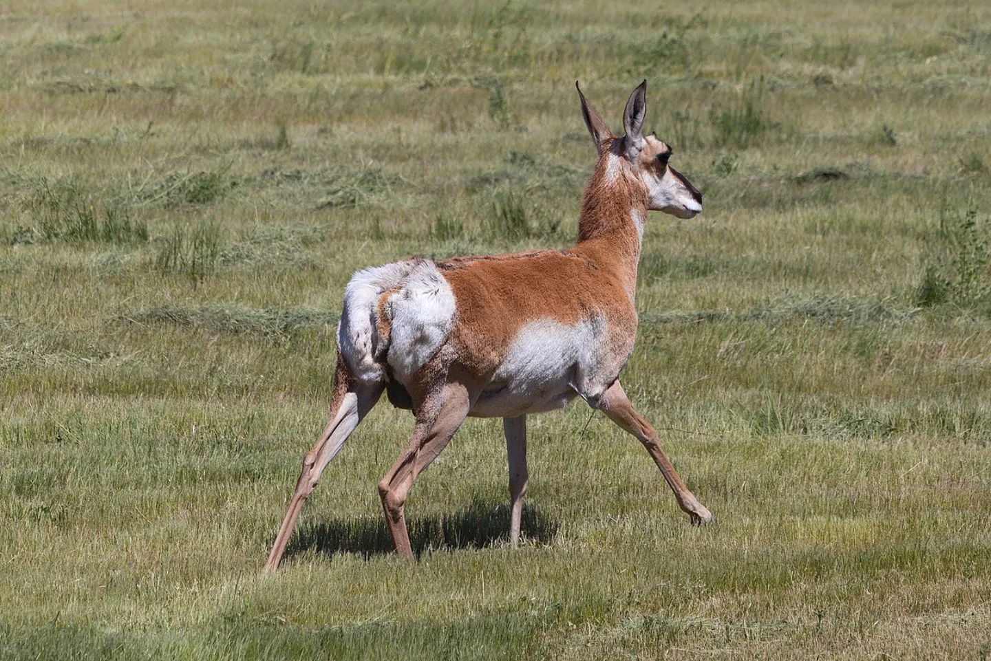
Pronghorn
The pronghorn is the fastest land animal in the Western Hemisphere, clocking around 55 mph across the sagebrush of Yellowstone and Grand Teton. Why so fast, with no predator that can keep up? It evolved its speed to outrun the American cheetah — a predator that went extinct thousands of years ago.
 U.S. Fish and Wildlife Service - Midwest Region · Public domain ↗
What Is a Keystone Species?
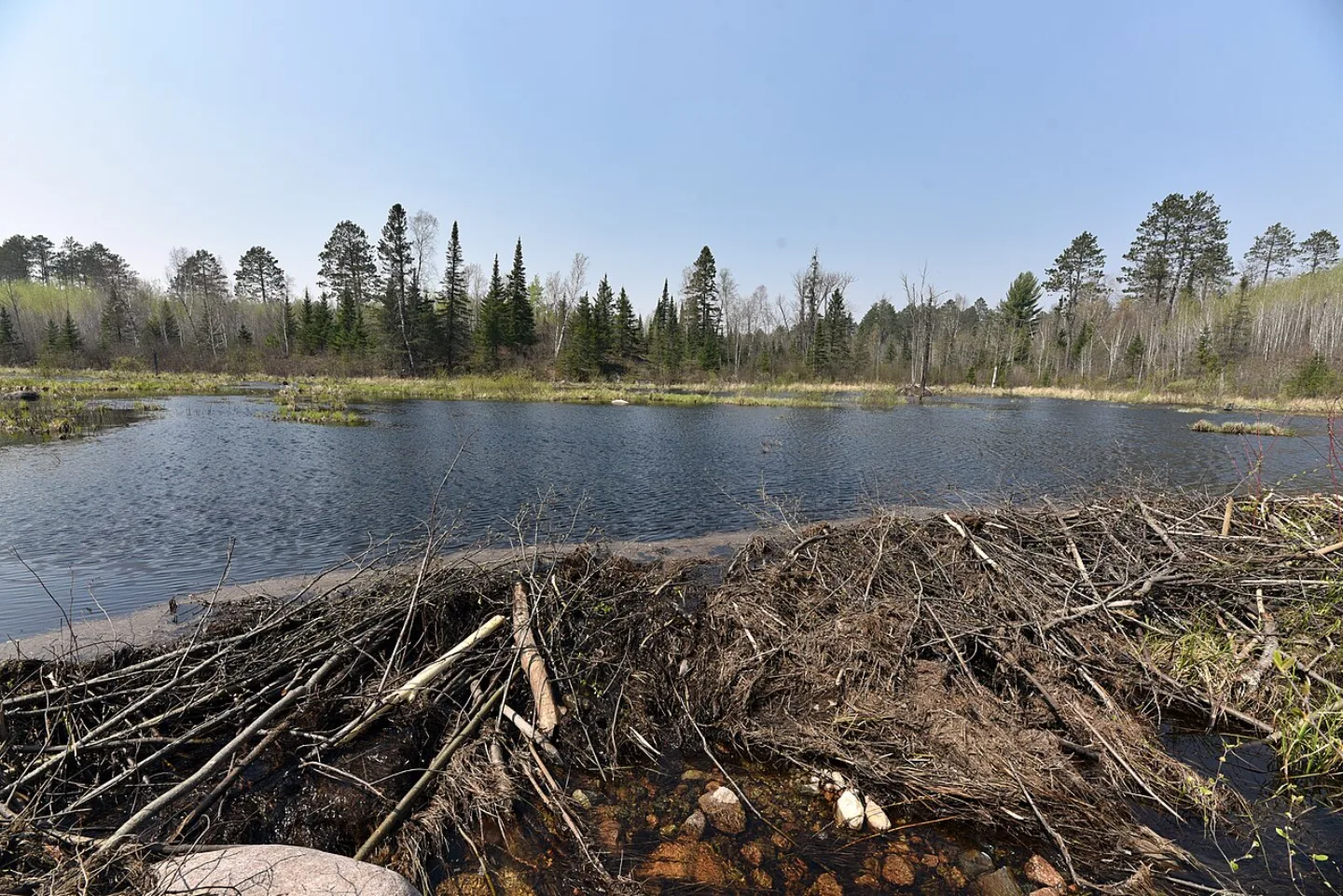
A keystone species holds an ecosystem together far out of proportion to its numbers — remove it, and the whole system unravels. The Yellowstone wolf is the famous example, but so are the beaver, whose dams create wetlands for countless other species, and the prairie dog, whose burrows and grazing shape entire grasslands. Lose the keystone and the arch collapses.
 Wikimedia Commons · Don Graham from Redlands, CA, USA · CC BY-SA 2.0 ↗
California Condor
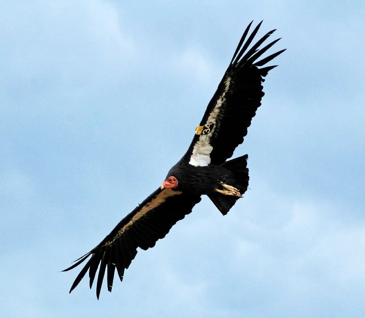
North America's largest land bird spans an astonishing 9.5 feet wingtip to wingtip. By 1982 just 22 condors remained alive, and biologists took every wild bird into captivity to save the species. The gamble worked: wild flocks now soar over Pinnacles, the Grand Canyon and Zion country, and Big Sur, and the total population tops 560.
 Wikimedia Commons · Andy Morffew · CC BY 2.0 ↗
Bald Eagle
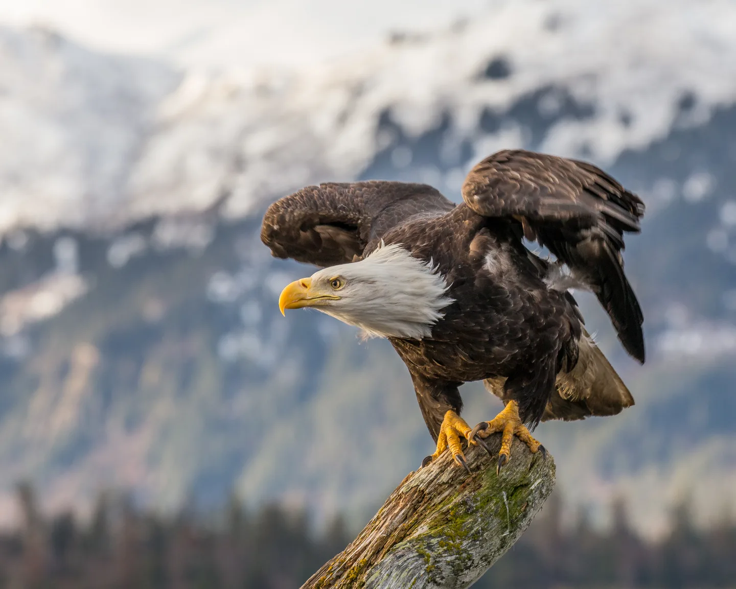
America's national bird nearly vanished in the mid-20th century, its eggshells thinned to breaking by the pesticide DDT. After DDT was banned and the eagle was protected, it roared back — and is now a common sight fishing the waters of Voyageurs, Olympic, Katmai, and dozens of other parks.
 judygva (back in town and trying to catch up) · CC BY 2.0 ↗
Where Alligators Meet Crocodiles
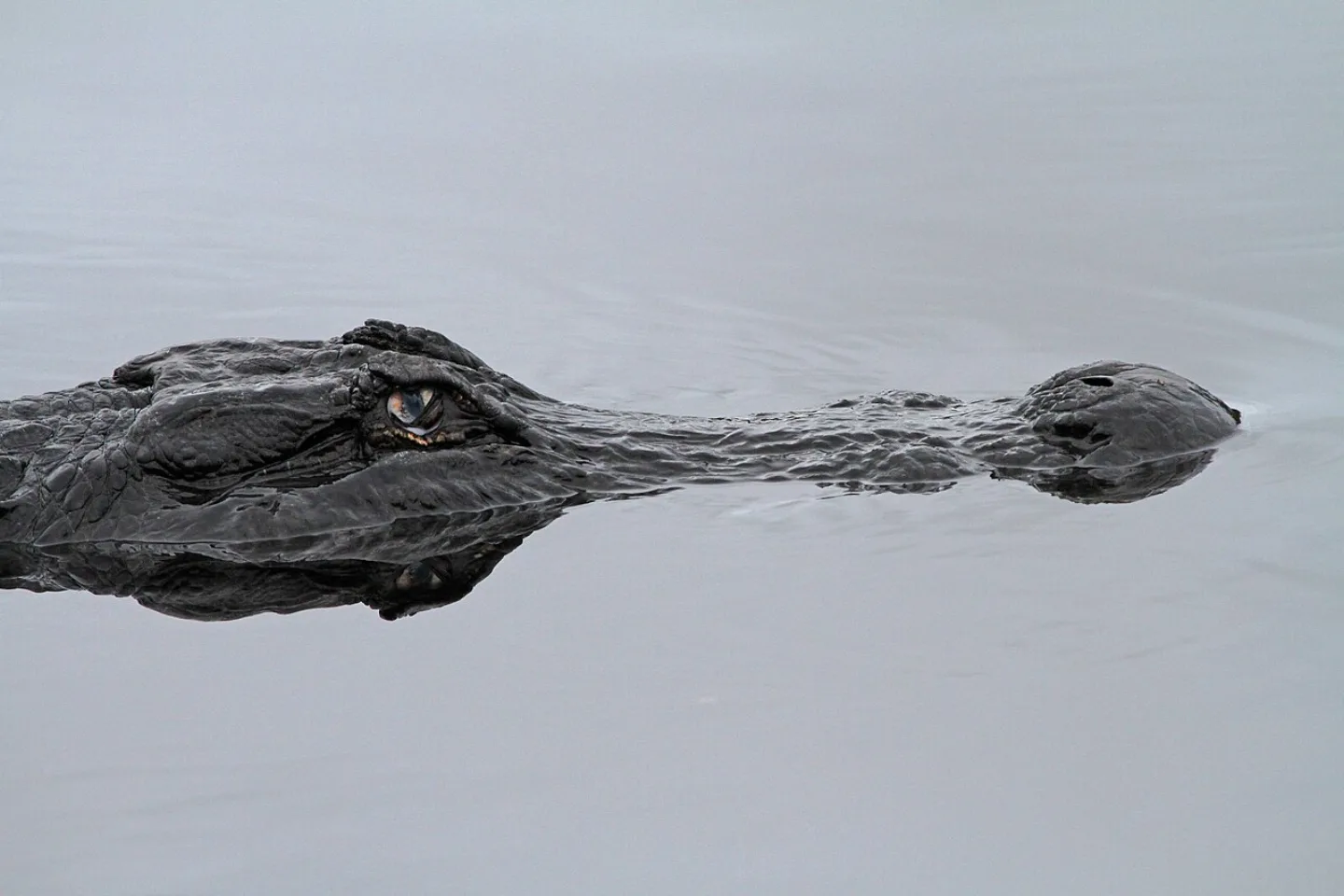
The Everglades is the only place on Earth where American alligators and American crocodiles live side by side. Tell them apart by color and snout: alligators are dark with broad, rounded snouts, while crocodiles are grayish with narrow, tapered ones. The same wetlands shelter wintering West Indian manatees.
1 / 10Which park holds the largest wild, free-ranging bison herd on Earth?
Yellowstone's herd of roughly 4,000-6,000 is the largest wild, free-ranging bison herd on Earth. Wind Cave and Theodore Roosevelt protect smaller, genetically important herds.
Lesson 4 has 51 cards. Keep going in the free app.
Question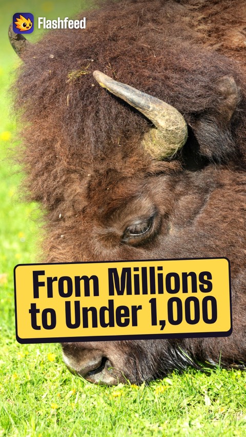
From 60 Million Bison to 1,000 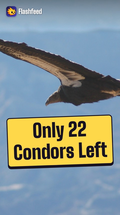
22 Condors Left All 33 clips on YouTube ↗Transcripts
From 60 Million Bison to 1,000
Once, 30 to 60 million bison roamed North America, in herds that took days to pass.
By the 1880s, hunting had left fewer than 1,000.
Yellowstone became their refuge. It's the only place in the United States where bison have lived continuously since prehistoric times.
Today it holds the largest wild, free-ranging herd on Earth: roughly 4,000 to 6,000.
22 Condors Left
North America's largest land bird has wings nearly 9.5 feet across. By 1982, only 22 California condors were left alive anywhere on Earth.
Biologists captured every last wild bird for a breeding program. It was a gamble.
It paid off. Today the population exceeds 560, wild and captive.
Wild condors soar again over Pinnacles and the Grand Canyon.
-
 Unsplash · Taisia Karaseva · Unsplash License ↗05
Lesson 5: Flora & Ecosystems
Record-Breaking Plants · Life Zones & Ecosystems
Lesson 5 · 9 cardsUnsplash · Taisia Karaseva · Unsplash License ↗General Sherman, the Giant Sequoia
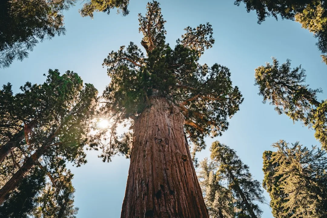
Giant sequoias are the largest trees on Earth by volume, and General Sherman in Sequoia NP is the largest single-stem tree alive — about 52,500 cubic feet of wood, roughly 275 feet tall, with a base some 36 feet across. It is estimated to be 2,200–2,700 years old. Giant sequoias grow only on the Sierra Nevada's western slope and actually depend on fire, whose heat opens their cones and clears competing growth.
 Michael Schweppe · CC BY-SA 2.0 ↗
The Tallest Trees on Earth
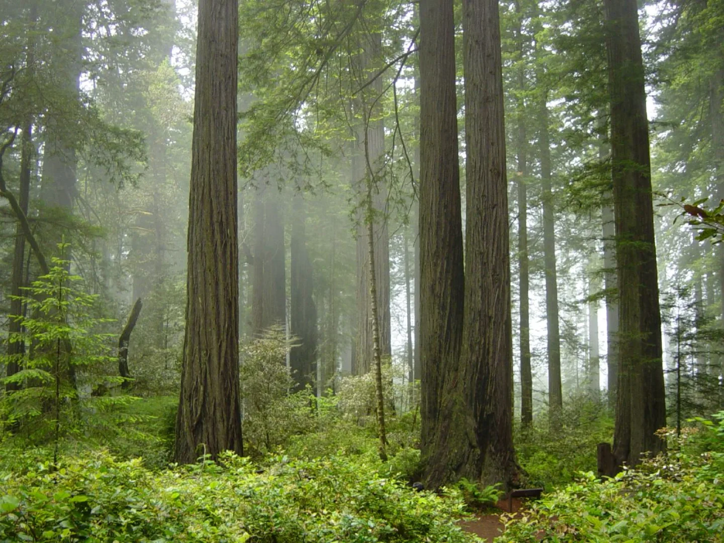
Coast redwoods are the tallest living things on the planet. Hyperion, a redwood in Redwood NP, reaches about 380 feet — taller than a 35-story building and the Statue of Liberty stacked nearly twice. Unlike their bulkier sequoia cousins, redwoods grow tall and slender, and they drink from coastal fog, combing moisture straight out of the air along California's foggy north coast.
 Z3lvs · CC0 ↗
Bristlecone Pine, the Ancient One
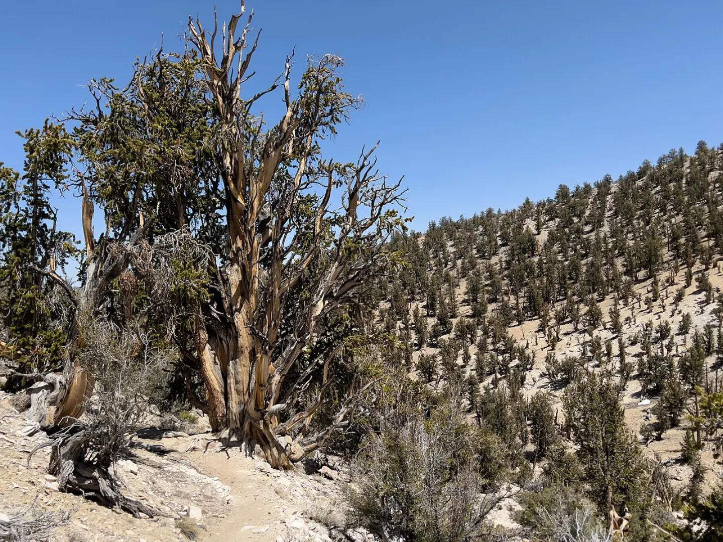
Great Basin bristlecone pines are the oldest known non-clonal living organisms on Earth. One tree named Methuselah is about 4,850 years old, and an even older bristlecone in the Great Basin / White Mountains region has been dated near 5,070 years — alive before the pyramids were finished. They survive by growing slowly in harsh, windswept high country, their gnarled wood dense and weather-hardened. Great Basin NP protects ancient groves of them.
 Library of Congress · Sunset silhouettes a saguaro cactus in the Sonoran Desert, n · No known restrictions (verify at source) ↗
The Saguaro Cactus
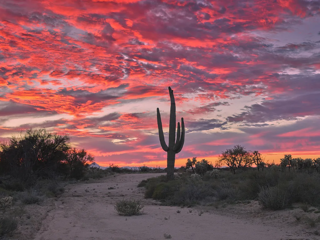
The giant columnar saguaro, emblem of Saguaro NP in Arizona, grows only in the Sonoran Desert. A saguaro can live 150–200 years and stand over 40 feet tall, but it grows agonizingly slowly — it may not sprout its first arm until it is 50–75 years old. Those arms, and the cactus itself, become high-rise homes for desert birds like the gila woodpecker and elf owl.
 Wikimedia Commons · Jarek Tuszyński · CC BY-SA 3.0 ↗
The Joshua Tree
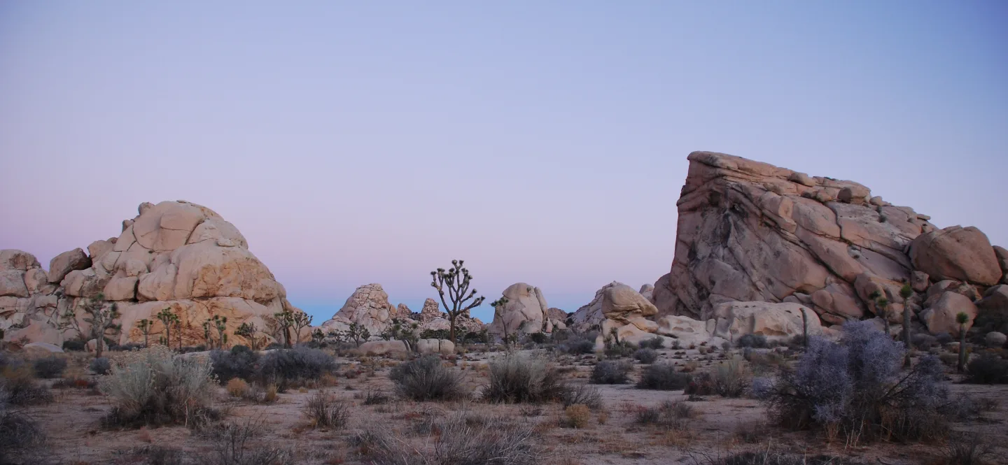
The Joshua tree is a giant yucca and the spiky emblem of the Mojave Desert. Joshua Tree NP sits exactly where two deserts meet — the higher, cooler Mojave and the lower, hotter Colorado. The tree has one indispensable partner: the yucca moth, the only creature that pollinates it, deliberately packing pollen into its flowers and laying eggs inside. No moth, no Joshua trees.
 NASA Earth Observatory image by Jesse Allen · Public domain ↗
Climbing Through Climate Zones
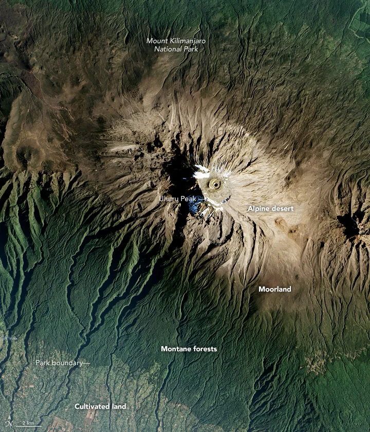
As you climb a mountain, the temperature drops about 3–5°F for every 1,000 feet of elevation. The old rule of thumb: climbing 1,000 feet up is roughly like traveling 600 miles north. So a single tall park can stack whole ecosystems on top of one another — desert at the base, then montane forest, then subalpine, then alpine tundra at the summit. Grand Canyon, Rocky Mountain, and Sequoia all show this dramatic zonation.
 Wikimedia Commons · Everglades NPS from Homestead, Florida, United States · Public domain ↗
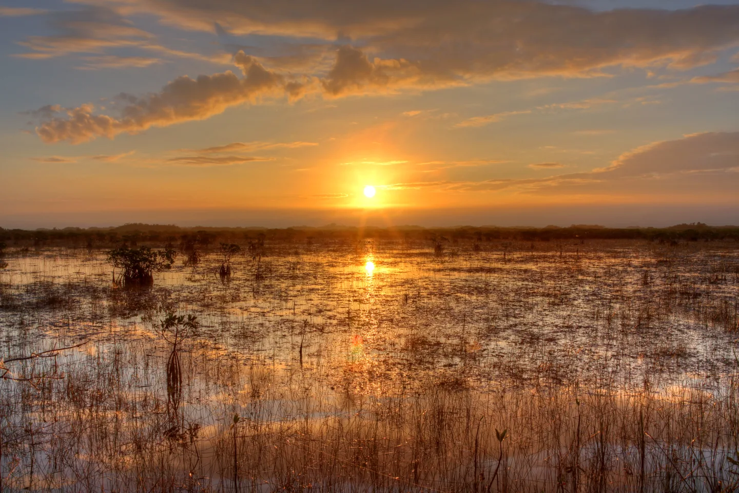
The River of Grass
The Everglades is not a swamp but a river — a sheet of water up to 60 miles wide and only inches deep, flowing imperceptibly south across Florida through endless sawgrass. Writer Marjory Stoneman Douglas named it the "river of grass." This subtropical wetland weaves sawgrass marsh, mangrove forests, and cypress stands into one of the most distinctive ecosystems in North America.
 Wikimedia Commons · Doug Dolde · CC BY-SA 3.0 ↗
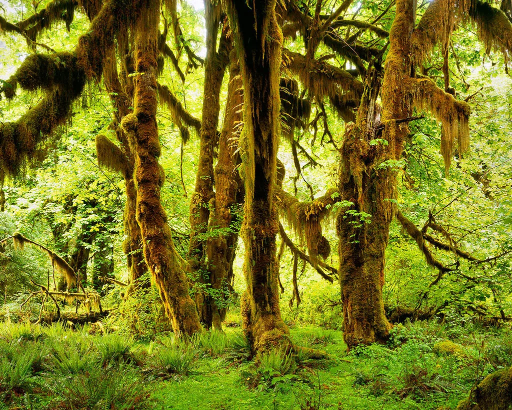
Olympic's Temperate Rainforest
Olympic NP's Hoh Rain Forest is a true temperate rainforest, receiving roughly 12–14 feet of rain a year — among the wettest places in the contiguous United States. The result is a green, dripping world: towering spruce and hemlock, trunks and branches draped in thick moss and ferns, and fallen "nurse logs" sprouting whole rows of new trees.
 Pexels · Timur Kozmenko · Pexels License ↗
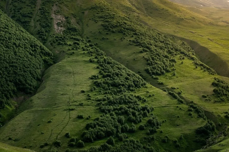
Merriam's Bands
In park ecology, a life zone is a band of plant and animal communities tied to a particular elevation and climate. The concept, based on Merriam's classic bands, explains why a single tall mountain can stack several distinct zones.
1 / 9General Sherman, a giant sequoia in Sequoia NP, holds the record as the largest tree on Earth measured by what?
Giant sequoias win on bulk, not height. General Sherman is the largest single-stem tree by wood volume (~52,500 cubic feet). Coast redwoods are the tallest trees, and bristlecone pines the oldest.
Lesson 5 has 58 cards. Keep going in the free app.
Question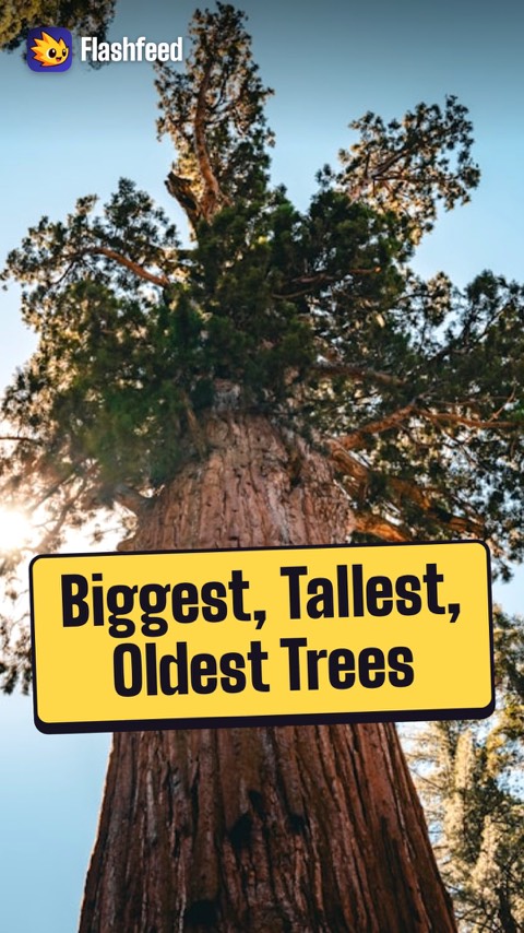
Biggest, Tallest, Oldest 
1,000 Feet Up, 600 Miles North All 33 clips on YouTube ↗Transcripts
Biggest, Tallest, Oldest
The largest single-stem tree on Earth is General Sherman, a giant sequoia: about 52,500 cubic feet of wood.
The tallest tree is Hyperion, a coast redwood: about 380 feet.
For age, bristlecone pines win. One named Methuselah is about 4,850 years old.
All three kinds grow in national parks: Sequoia, Redwood and Great Basin.
1,000 Feet Up, 600 Miles North
Climb 1,000 feet up a mountain, and the air cools by about 3 to 5 degrees Fahrenheit.
As a rule of thumb, it's like traveling 600 miles north.
So one tall park can stack whole life zones: desert at the base, then forest, then subalpine, then alpine tundra.
A day's hike in the Grand Canyon crosses zones that would otherwise take a road trip across the continent.
- Take the lessons with you. Free, no account.Download on the App Store ↗Get it on Google Play ↗
-
 Library of Congress · Crater Lake, Oregon · No known restrictions (verify at source) ↗06
Lesson 6: Records & Superlatives
Extremes of the System · Firsts, Mosts & Onlys
Lesson 6 · 8 cardsLibrary of Congress · Crater Lake, Oregon · No known restrictions (verify at source) ↗Crater Lake: Deepest in America
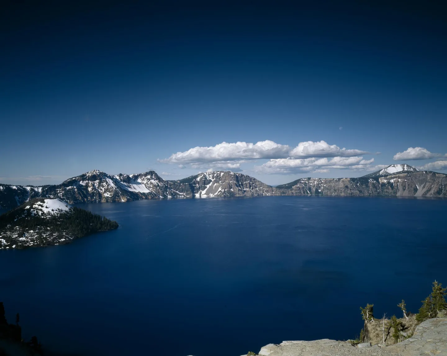
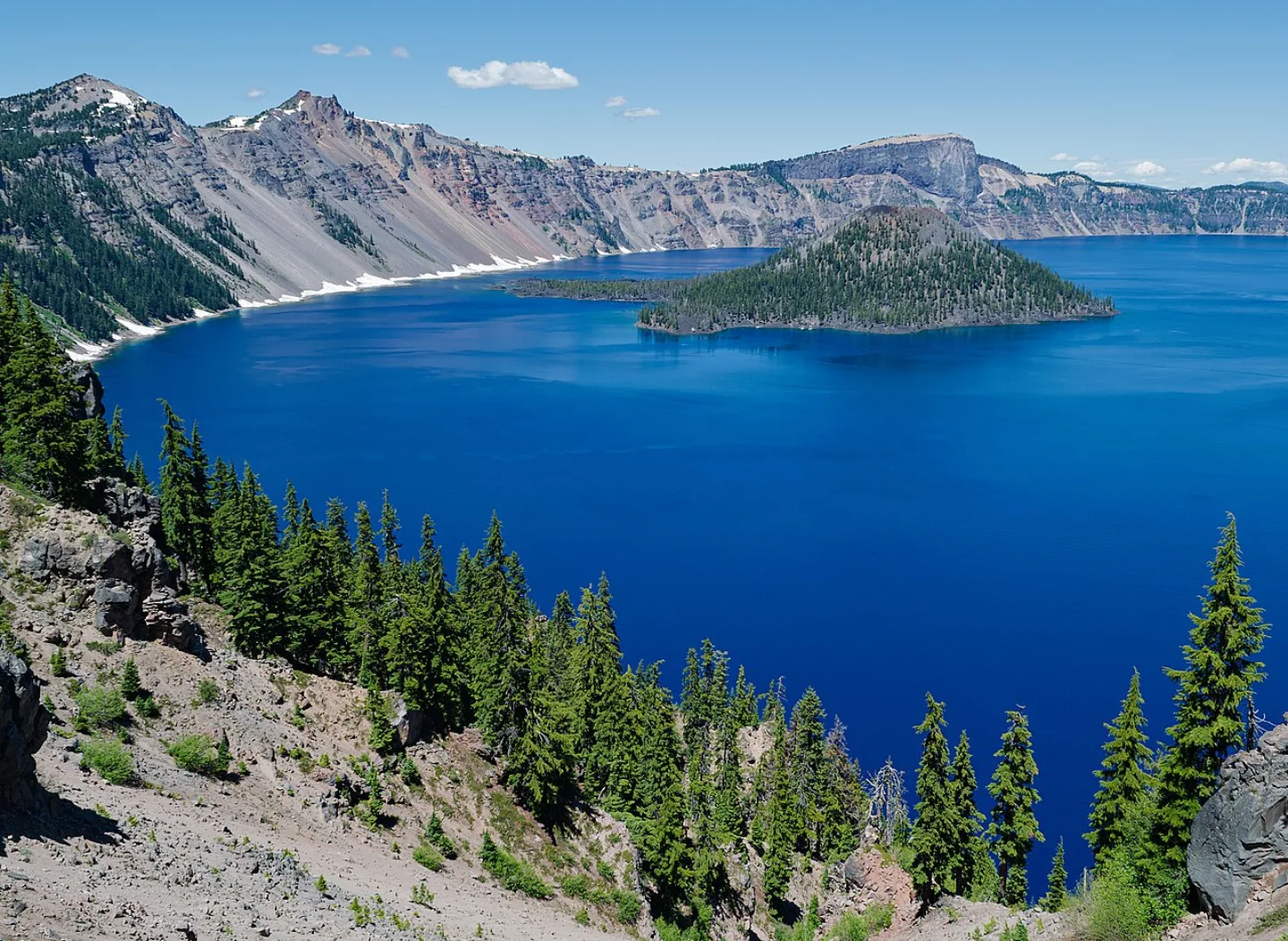
At 1,943 feet, Crater Lake in Oregon is the deepest lake in the United States — and one of the deepest on Earth. No river feeds or drains it; it fills the collapsed caldera of Mount Mazama, which blew its top some 7,700 years ago. Rain and snowmelt alone keep it brimming, and the lack of inflowing sediment gives the water its almost unreal, sapphire-blue clarity.
 Wikimedia Commons · Daniel Schwen · CC BY-SA 4.0 ↗
Mammoth Cave — The Longest in the World
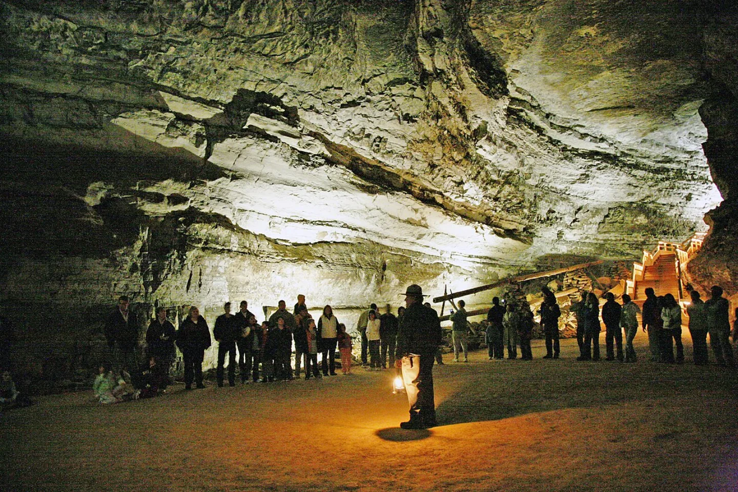
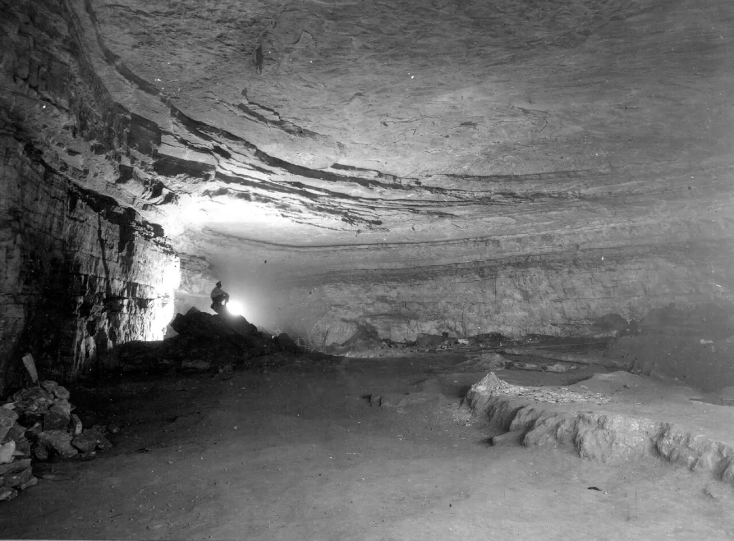
Beneath the green hills of Kentucky winds Mammoth Cave, the longest known cave system on Earth, with more than 426 miles of passages surveyed — and explorers keep finding more. No other cave comes close; the second-longest in the world is less than half its length. Its limestone labyrinth was carved over millions of years by water seeping through the soluble rock.
 Library of Congress · The distant dunes of the Great Sand Dunes National Park and · No known restrictions (verify at source) ↗
Great Sand Dunes: Continent's Tallest
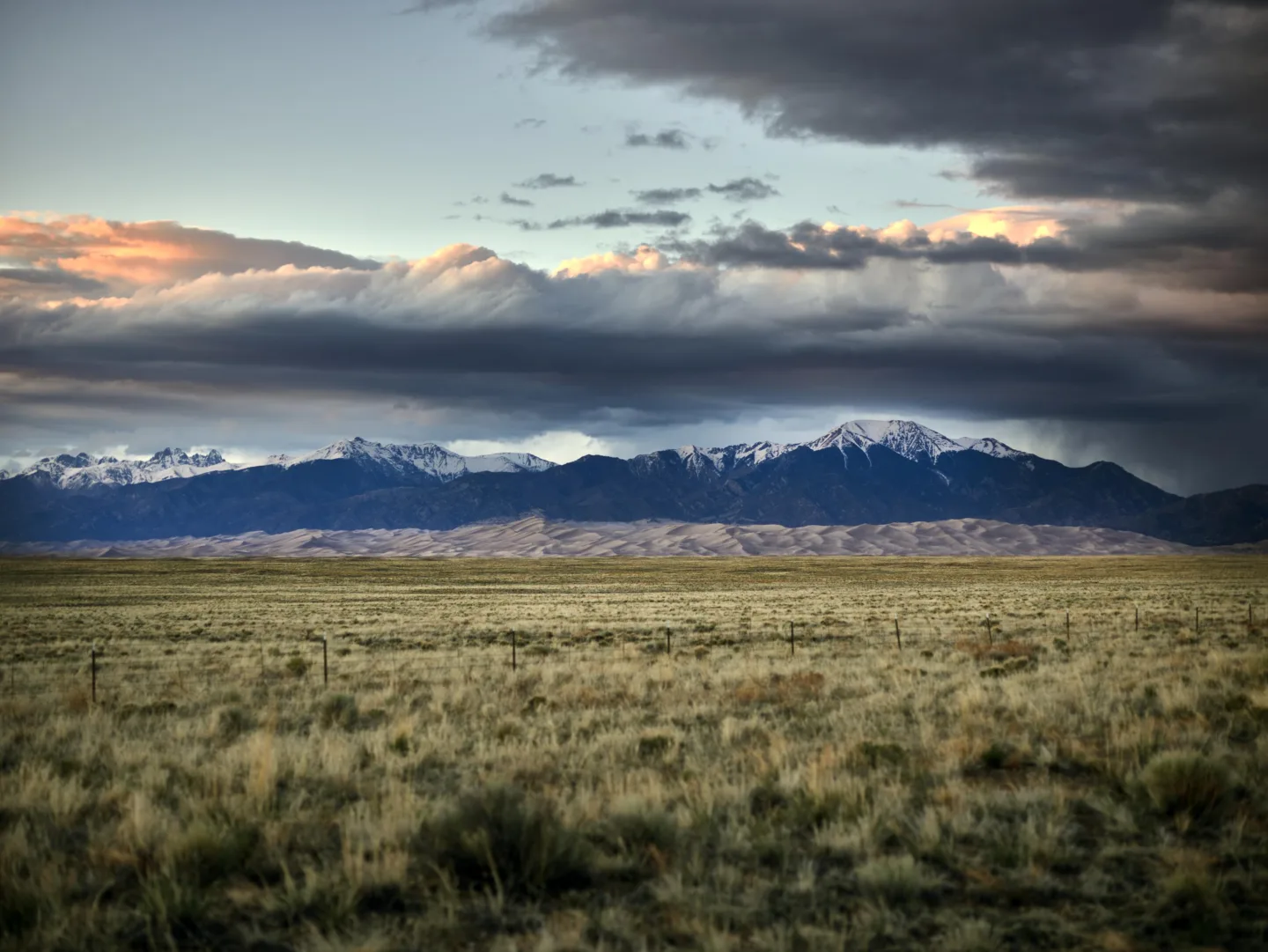
Pressed against Colorado's snow-capped Sangre de Cristo Mountains stand the tallest dunes in North America — Great Sand Dunes rise about 741 feet from base to crest. The sand blew off an ancient lakebed and piled up where the mountains trap the wind. Climbing Star Dune or High Dune is a leg-burning slog through soft sand, often with snowmelt creek water at the base in spring.
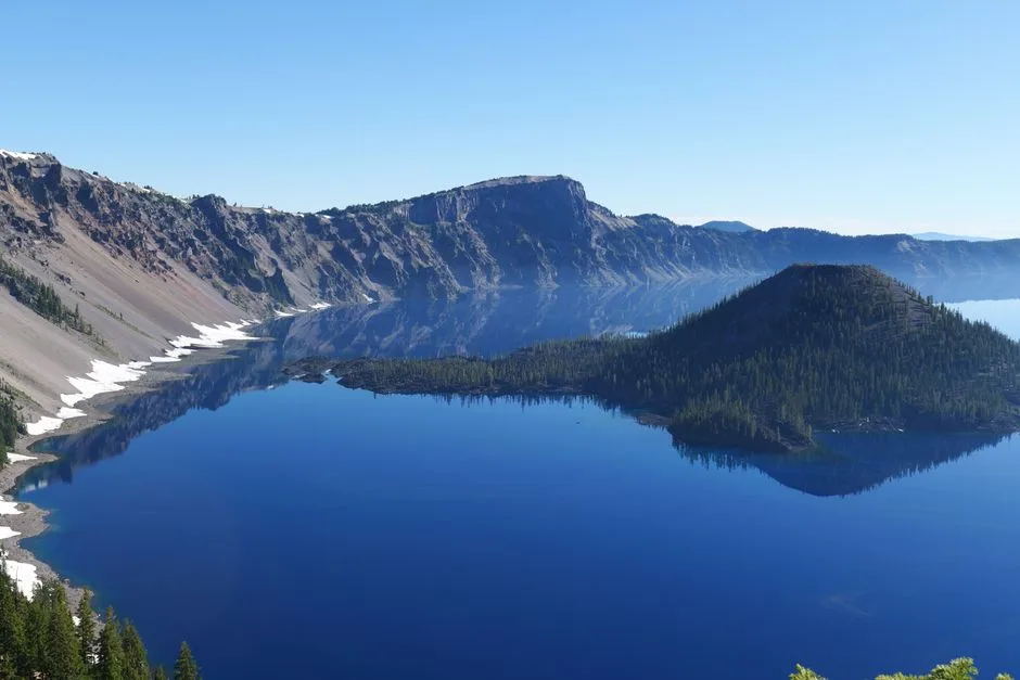 Pexels · Ambient Vista · Pexels License ↗
No Rivers In or Out
Crater Lake sits inside the caldera of Mount Mazama, a volcano that erupted and collapsed about 7,700 years ago. With no river flowing in or out, only rain and snowmelt fill the basin, leaving the water famously clear and deep blue.
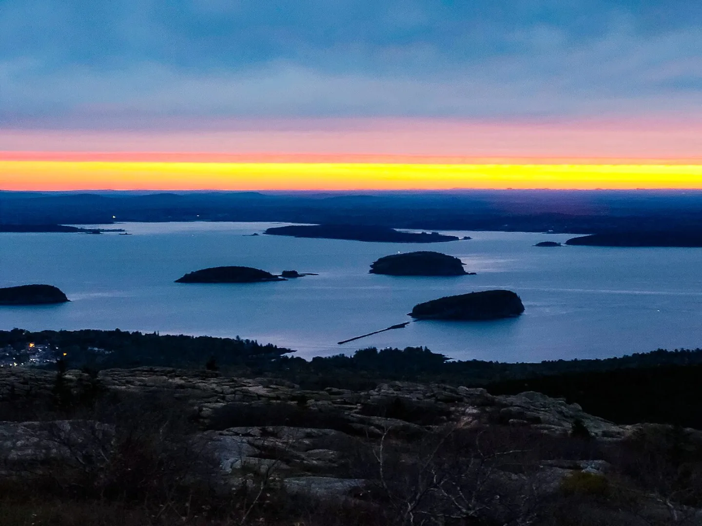 John Manard · CC BY-SA 2.0 ↗
Acadia: First East of Mississippi
Established in 1919, Acadia in Maine was the first national park east of the Mississippi River — and the first created from land donated by private citizens. Its Cadillac Mountain (1,530 ft) is the highest point on the eastern seaboard of the U.S., and from early October to early March it is the first place in the country to see the sunrise. Today Acadia draws nearly four million visitors a season.
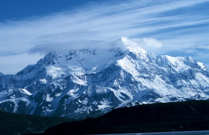 Wikimedia Commons · Mr. David Sinson, NOAA, Office of Coast Survey · Public domain ↗
Alaska Holds the Four Largest
The four biggest national parks are all in Alaska: Wrangell–St. Elias, Gates of the Arctic, Denali, and Katmai. Wrangell–St. Elias alone is larger than Switzerland. Most were created on a single day — December 2, 1980 — when the Alaska National Interest Lands Conservation Act more than doubled the entire National Park System overnight.
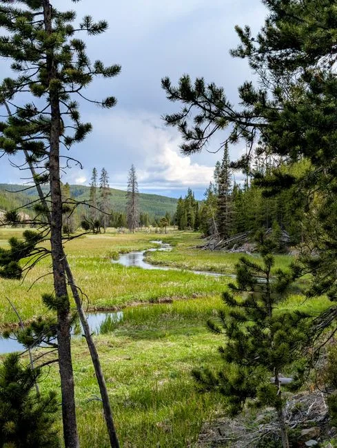 Pexels · Tranquil river meandering through lush green meadow in Yellowstone National Park. ↗
Where It All Began
Yellowstone was established in 1872, making it the world's first national park — the original from which every national park that came later descends.
1 / 8How deep is Crater Lake, the deepest lake in the United States?
Crater Lake reaches 1,943 feet, the deepest in the U.S. The distractors are other park figures: Cadillac Mountain (1,530 ft), Yosemite Falls (2,425 ft), and Badwater's depth below sea level (282 ft).
Lesson 6 has 64 cards. Keep going in the free app.
Question
Lowest, Hottest, Driest 
Firsts and Onlys All 33 clips on YouTube ↗Transcripts
Lowest, Hottest, Driest
Death Valley holds more records than any other national park.
Badwater Basin drops to 282 feet below sea level, the lowest point in North America.
On July 10, 1913, Furnace Creek reached 134 degrees Fahrenheit. It's still the highest reliably recorded air temperature on Earth.
And the valley averages only about 2 inches of rain a year.
Firsts and Onlys
Acadia, in Maine, was the first national park east of the Mississippi. It was also the first created from land that private citizens donated.
From early October to early March, its Cadillac Mountain is the first place in the country to see the sunrise.
The only park entirely south of the equator is the National Park of American Samoa.
And Yellowstone, in 1872, was the first of them all.
-
 Lon Johnson · Public domain ↗07
Lesson 7: Visiting the Parks
Sites & Experiences · Timing & Safety · The Park Lexicon
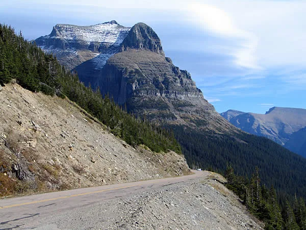
Lesson 7 · 8 cardsLon Johnson · Public domain ↗Going-to-the-Sun Road
Glacier's 50-mile masterpiece climbs to the Continental Divide at Logan Pass (6,646 ft), threading cliff faces and waterfalls in switchbacks that took two decades to engineer. Completed in 1932, it's so buried by alpine snow that it typically opens fully only from late June or July to mid-October.
 Viktorwills · CC BY-SA 4.0 ↗
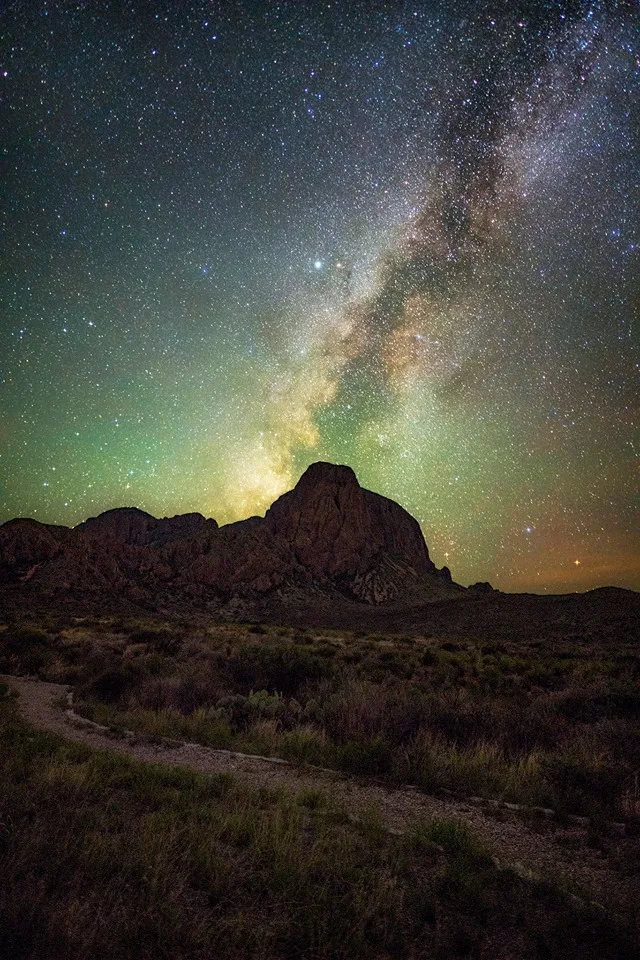
Dark Skies
Far from city glow, many parks are certified International Dark Sky Parks — Big Bend, Death Valley, Capitol Reef, Bryce Canyon, Great Basin, Joshua Tree, and Canyonlands among them. On a moonless night the Milky Way arcs overhead like a river of light, and thousands of stars appear that most Americans never see.
 GlacierNPS · Public domain ↗
Ranger Programs
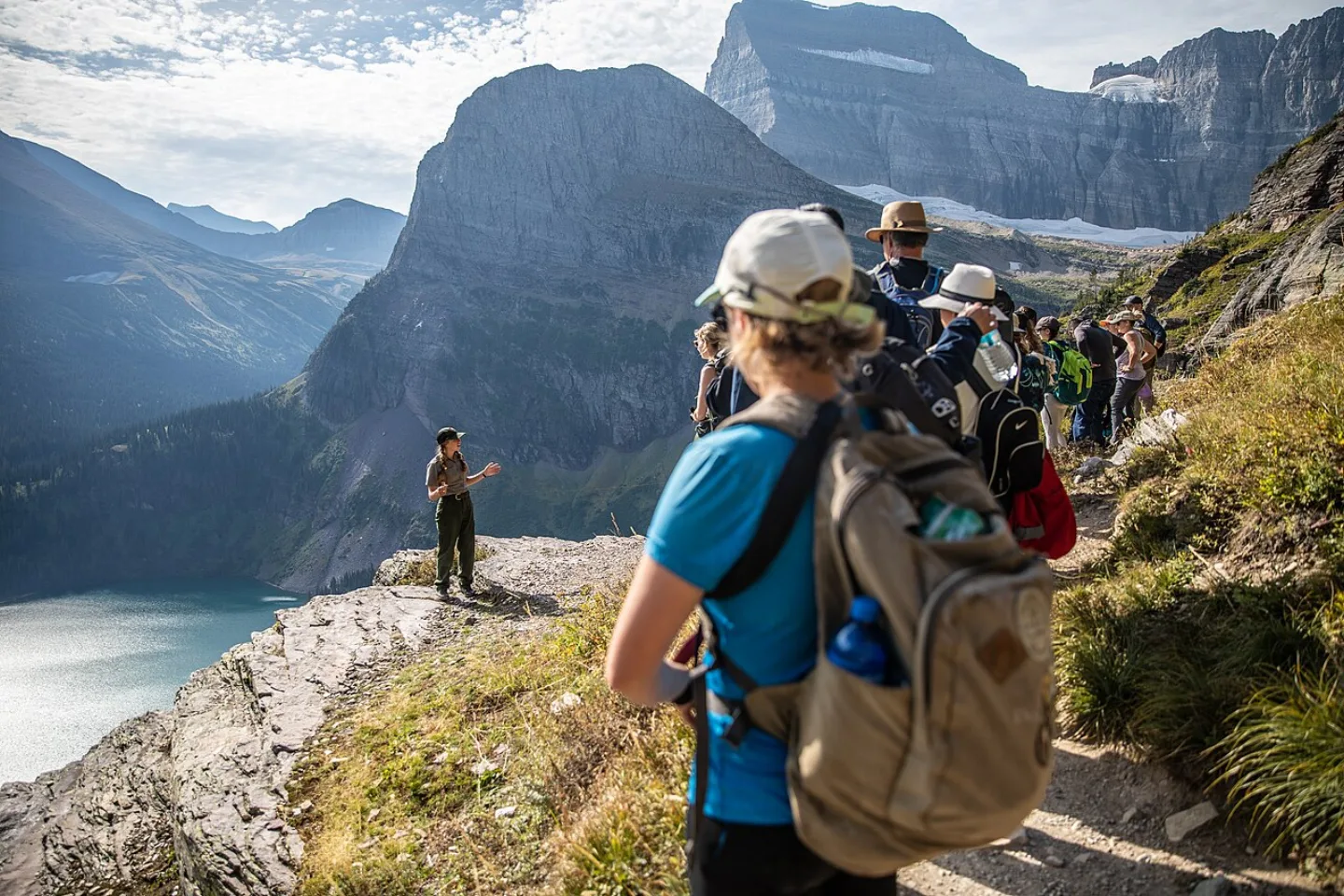
The flat hat is an invitation. Park rangers lead free guided walks, evening campfire talks, and night-sky programs, turning a scenic overlook into a story about deep time, wildlife, and people. Kids can earn a Junior Ranger badge by completing an activity booklet and reciting a pledge to protect the park.
 McGhiever · CC BY-SA 3.0 ↗
America the Beautiful Pass
One $80 annual pass covers entrance to every national park and federal recreation site for a full year — a bargain if you'll visit more than two or three. It's free for fourth-graders, and discounted for seniors ($80 lifetime or $20 annual), military, and visitors with disabilities.
 Jacob W. Frank · Public domain ↗
When to Go
Peak season is June through August, with July often the single busiest month — and the marquee parks the most jammed. The shoulder seasons, May and September–October, reward you with thinner crowds, cooler air, fall foliage, and the autumn rut. Winter transforms parks entirely: Yellowstone's interior is reachable only by snowcoach or snowmobile.
 Wikimedia Commons · Jack Dykinga · Public domain ↗
Wildlife Distances
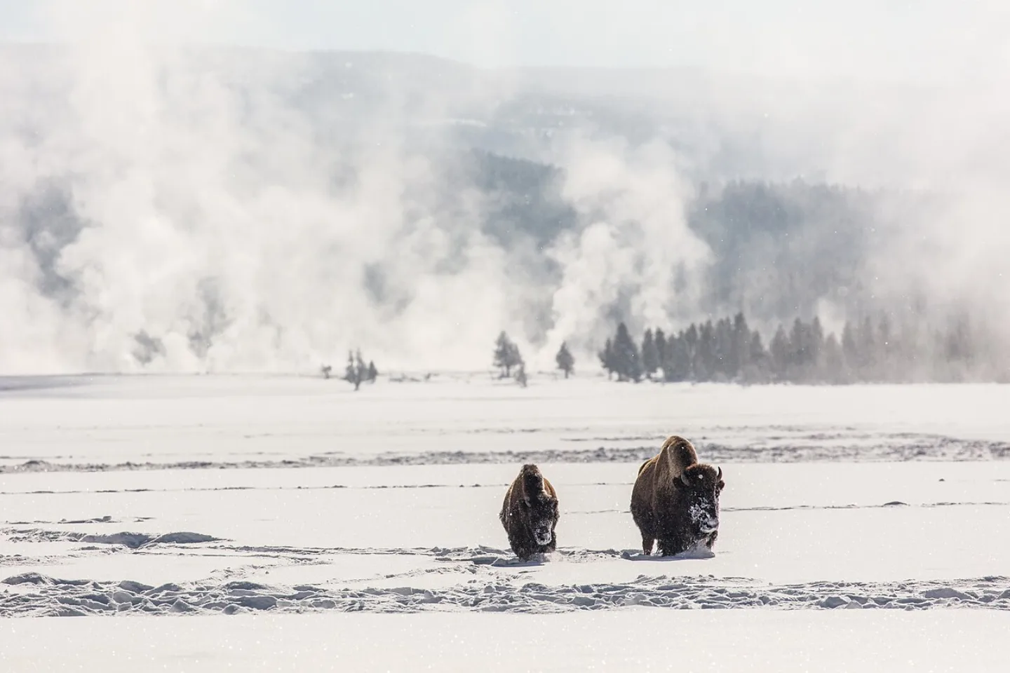
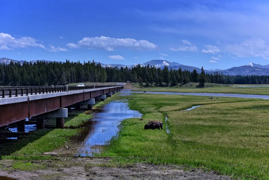
The NPS rule is simple: stay 100 yards from bears and wolves, and 25 yards from bison, elk, and other large animals. Surprisingly, bison injure more Yellowstone visitors than any other animal — usually people who got too close for a photo. In grizzly country, carry bear spray and know how to use it. Never feed wildlife.
 Pexels · Spectacular landscape of Yellowstone National Park featuring a bison near a bridge under a bright blue sky. ↗
Not the Bears
Despite bears' fearsome reputation, bison injure more Yellowstone visitors than any other animal, almost always people who edged too close for a photo. Because a bison can outrun a person and pivot instantly, the NPS rule is to stay 25 yards back.
1 / 8Going-to-the-Sun Road, crossing the Continental Divide at Logan Pass, is the headline drive of which park?
The 50-mile Going-to-the-Sun Road climbs to Logan Pass (6,646 ft) in Glacier National Park, completed in 1932. The other Rockies-region parks lack this specific road.
Lesson 7 has 82 cards. Keep going in the free app.
Question
Going-to-the-Sun Road 
100 Yards, 25 Yards 
Park or Monument All 33 clips on YouTube ↗Transcripts
Going-to-the-Sun Road
Going-to-the-Sun Road crosses Glacier National Park for 50 miles. At Logan Pass, it crosses the Continental Divide at 6,646 feet.
It's carved straight into cliff faces. Building it took roughly 2 decades of dangerous work, and it was finished in 1932.
The catch is snow. Each spring, plows fight drifts dozens of feet deep.
So the full road typically opens only from late June or July through mid-October.
100 Yards, 25 Yards
The National Park Service rule is easy to remember. Stay 100 yards from bears and wolves: roughly a football field.
Stay 25 yards from bison, elk, and other large animals.
Counterintuitively, bison injure more Yellowstone visitors than any other animal. Almost always, people edged too close for a photo.
A bison can outrun a person. And one rule has no exceptions: never feed wildlife.
Park or Monument
A national park is created by an act of Congress. There are 64 of them.
A national monument is different. Under the Antiquities Act of 1906, the president can proclaim one directly. No act of Congress is required.
That speed has saved countless landscapes from development.
And many of today's national parks began as monuments, including the Grand Canyon. Congress upgraded them later.
-
 Carsten Steger · CC BY-SA 4.0 ↗08
Lesson 8: Fun Facts & Famous Words
Stuff You'll Want to Repeat · Famous Words
Lesson 8 · 10 cardsCarsten Steger · CC BY-SA 4.0 ↗Yellowstone's Sleeping Giant
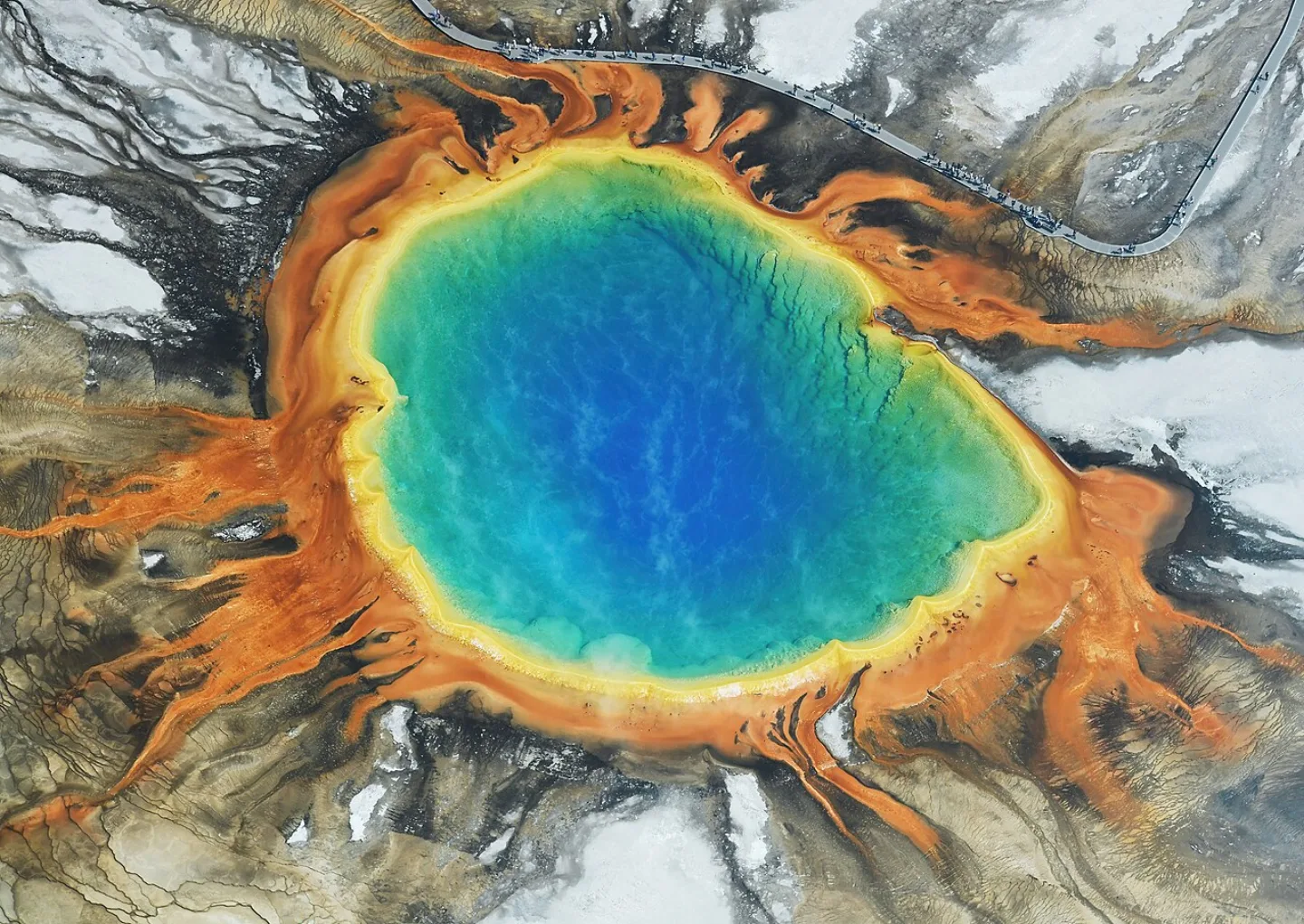
Yellowstone sits atop one of the world's largest active volcanic systems. Its "supervolcano" status makes for dramatic headlines, but the U.S. Geological Survey rates the near-term eruption risk as very low. The ground breathes, the geysers hiss, and the magma waits on a timescale that dwarfs human history.
 Aviator31 · Public domain ↗
The Park With No Entrance Fee
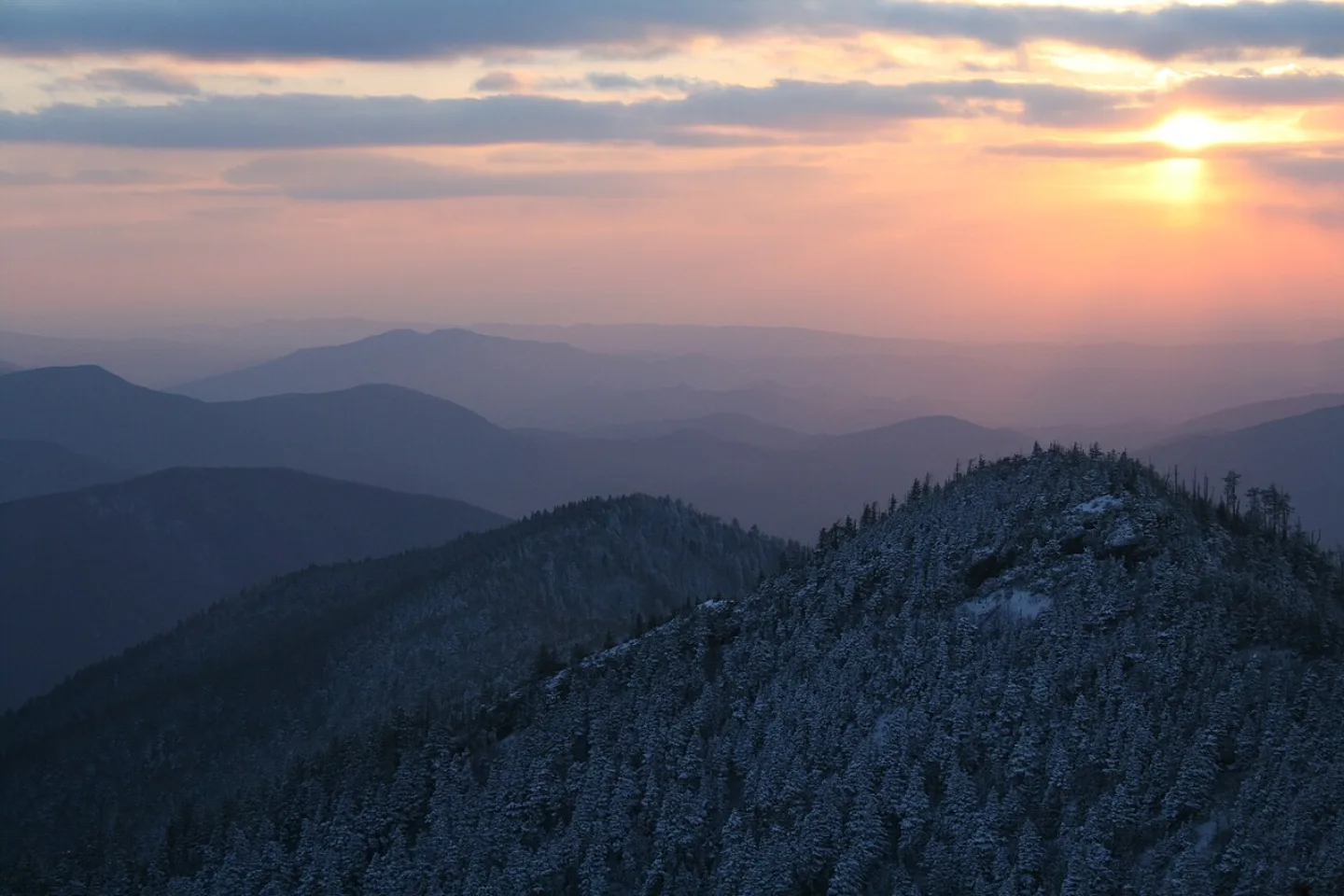
Great Smoky Mountains charges no entrance fee: Tennessee's 1951 deed for its two main roads bars tolls on them, and a federal law bars entrance fees where tolls are barred. That free admission helps make it the most-visited national park in the country, with more than 12 million visits in 2024. (A parking tag has been required since March 2023 to park for more than 15 minutes, but getting in still costs nothing.)
 Willis Thomas Lee · Public domain ↗
The Cave With No Known End
Mammoth Cave is the longest known cave system on Earth, and it keeps getting longer — every time explorers connect a new passage, the official length grows. No one has yet mapped a natural end to it. It is, quite literally, a record still being written underground.
 SaraDGarland · CC BY-SA 4.0 ↗
Bring Your Own Bottle
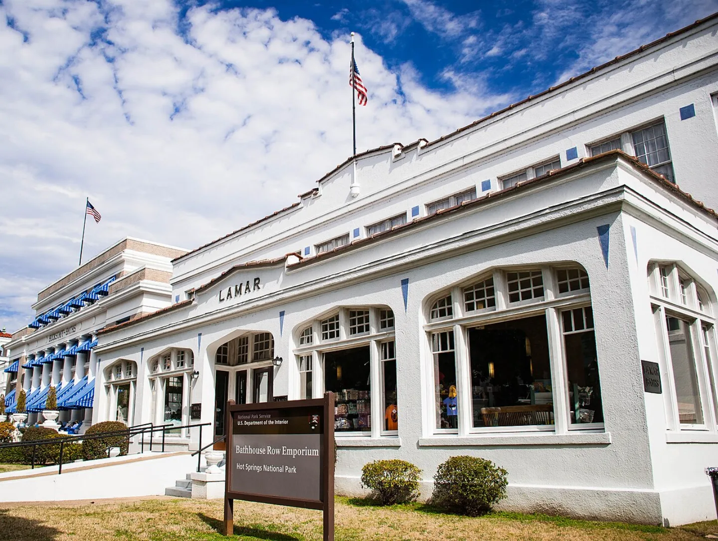
Hot Springs, Arkansas, is sometimes called "The American Spa." It's one of the few national parks where you can legally fill your own bottle straight from the source — public fountains let visitors collect the same thermal spring water that drew bathers here long before it was a park.
 National Park Service · Public domain ↗
A Park on Loan
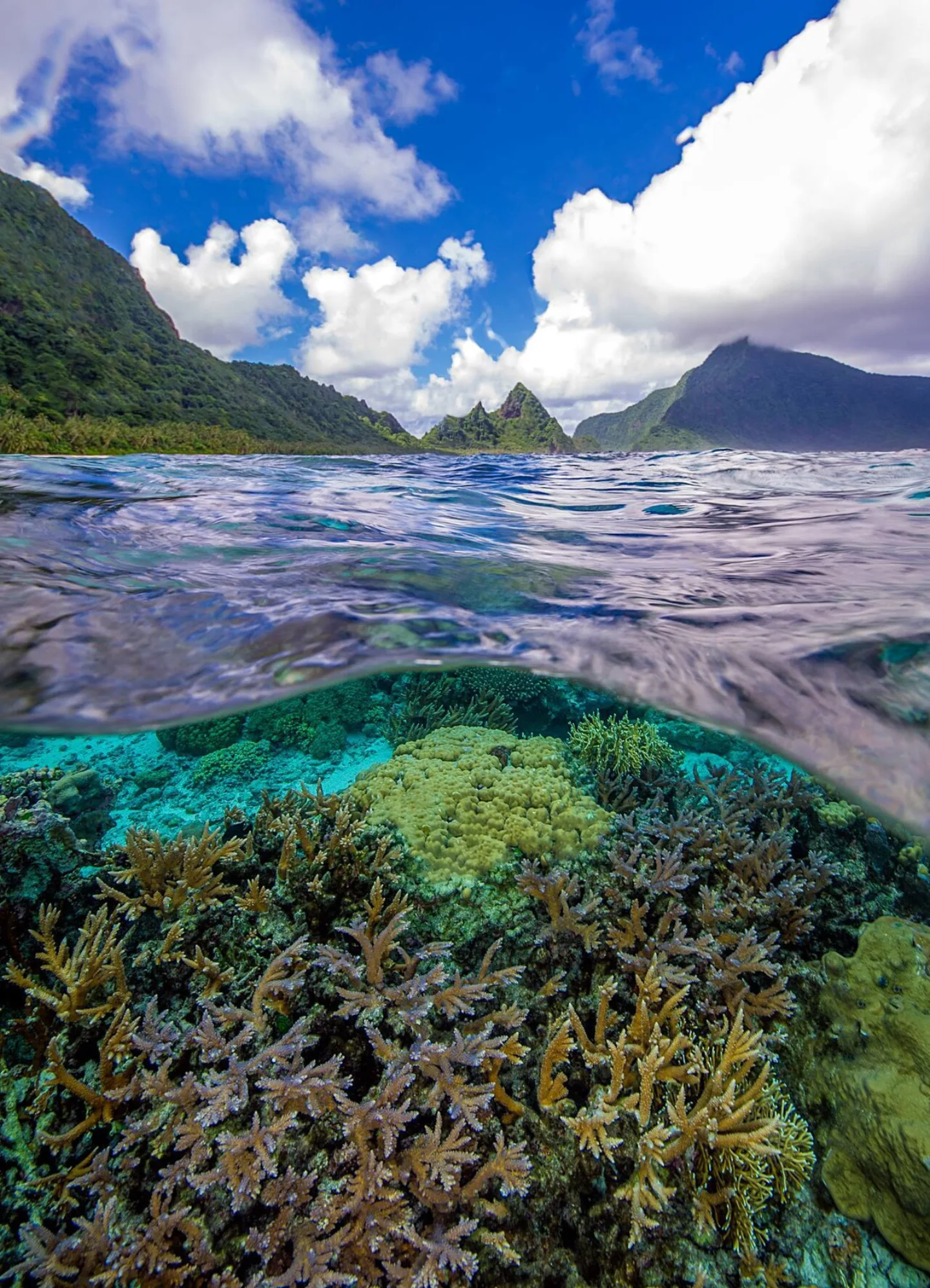
The National Park of American Samoa is unique in the entire system: the United States doesn't own it. Instead it's leased from local villages, an arrangement that keeps the land in the hands of the Samoan community while protecting its rainforests, coral reefs, and flying foxes.
 [flickr.com B0iwehijro2i0- ] `1l]] from Davis, · CC BY 2.0 ↗
The Most Urban Park
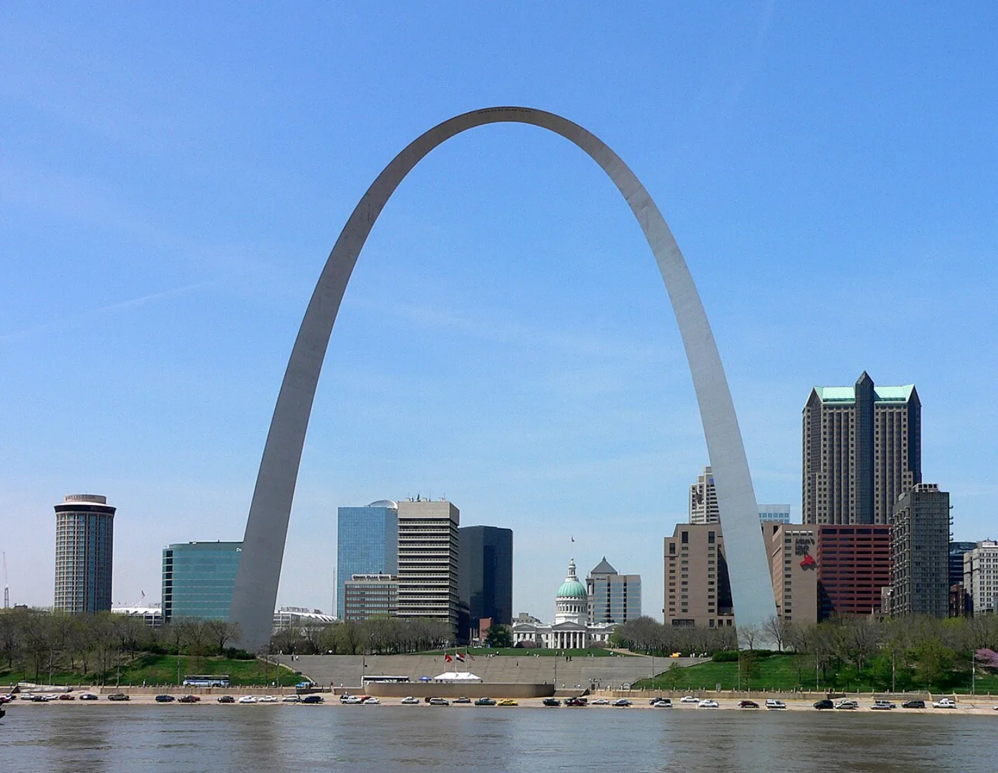
Gateway Arch became a national park in 2018 — the smallest and most urban in the system. It centers on Eero Saarinen's 630-foot stainless-steel arch on the St. Louis riverfront, a gleaming monument to westward expansion that you can ride to the top of.
 Lgcharlot · CC BY-SA 4.0 ↗
Where the Stones Walk
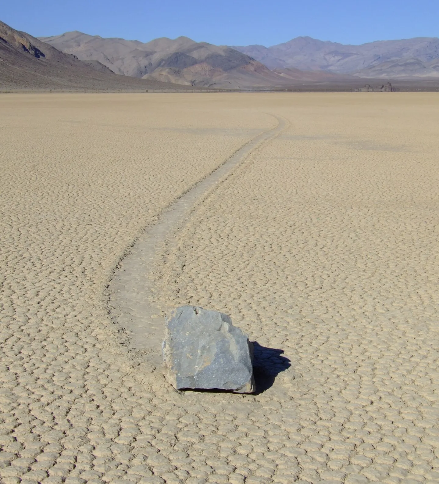
Death Valley is one of the hottest and driest places on Earth — yet on its Racetrack Playa, heavy rocks leave long trails across the dried mud, as if they had wandered off on their own. The mystery held for decades until 2014, when scientists caught it on camera: thin overnight ice sheets, nudged by light wind, slide the stones along.
 Will Keightley · CC BY-SA 2.0 ↗
Words for the Wild
The national parks have always inspired great lines. Writers, naturalists, and presidents have tried to put the idea into words — from John Muir wandering the Sierra to Theodore Roosevelt standing at the Grand Canyon. The quotes that follow are the ones people still repeat a century later.
1 / 10Yellowstone's 'supervolcano' fuels doomsday headlines, but what does the U.S. Geological Survey — which monitors it constantly — say about a major near-term eruption?
The USGS, which monitors Yellowstone constantly, rates the chance of a major near-term eruption as very low. The ground breathes and small quakes are routine, but on any human timescale it's a slow, closely watched giant.
Lesson 8 has 43 cards. Keep going in the free app.
Question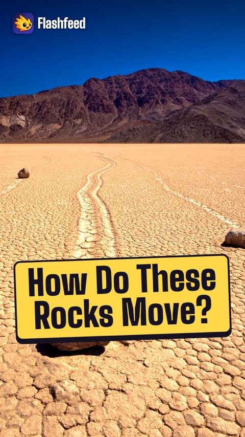
Where the Stones Walk 
The Best Idea All 33 clips on YouTube ↗Transcripts
Where the Stones Walk
Death Valley is among the hottest and driest places on the planet. Yet its strangest feature is cold and quiet.
On the Racetrack Playa, heavy rocks leave long trails across the dried mud, as if they had strolled off on their own.
The puzzle stood for decades.
In 2014, researchers finally filmed the answer. Thin sheets of overnight ice glide the stones across the slick surface. A light wind does the nudging.
The Best Idea
The national parks are the best idea we ever had. That's their most quoted line, from the novelist Wallace Stegner, in 1983.
The power is in another word he used: democratic. The parks belong to everyone, regardless of wealth.
80 years earlier, Theodore Roosevelt stood at the Grand Canyon.
Leave it as it is, he said. The ages have been at work on it, and man can only mar it.
-
 Carsten Steger · CC BY-SA 4.0 ↗09
Lesson 9: Western Mountains & Northern Plains
Park Profiles: The High Rockies · Park Profiles: Canyons, Cliffs & Plains · Which Western Park Is It? · By the Numbers
Lesson 9 · 8 cards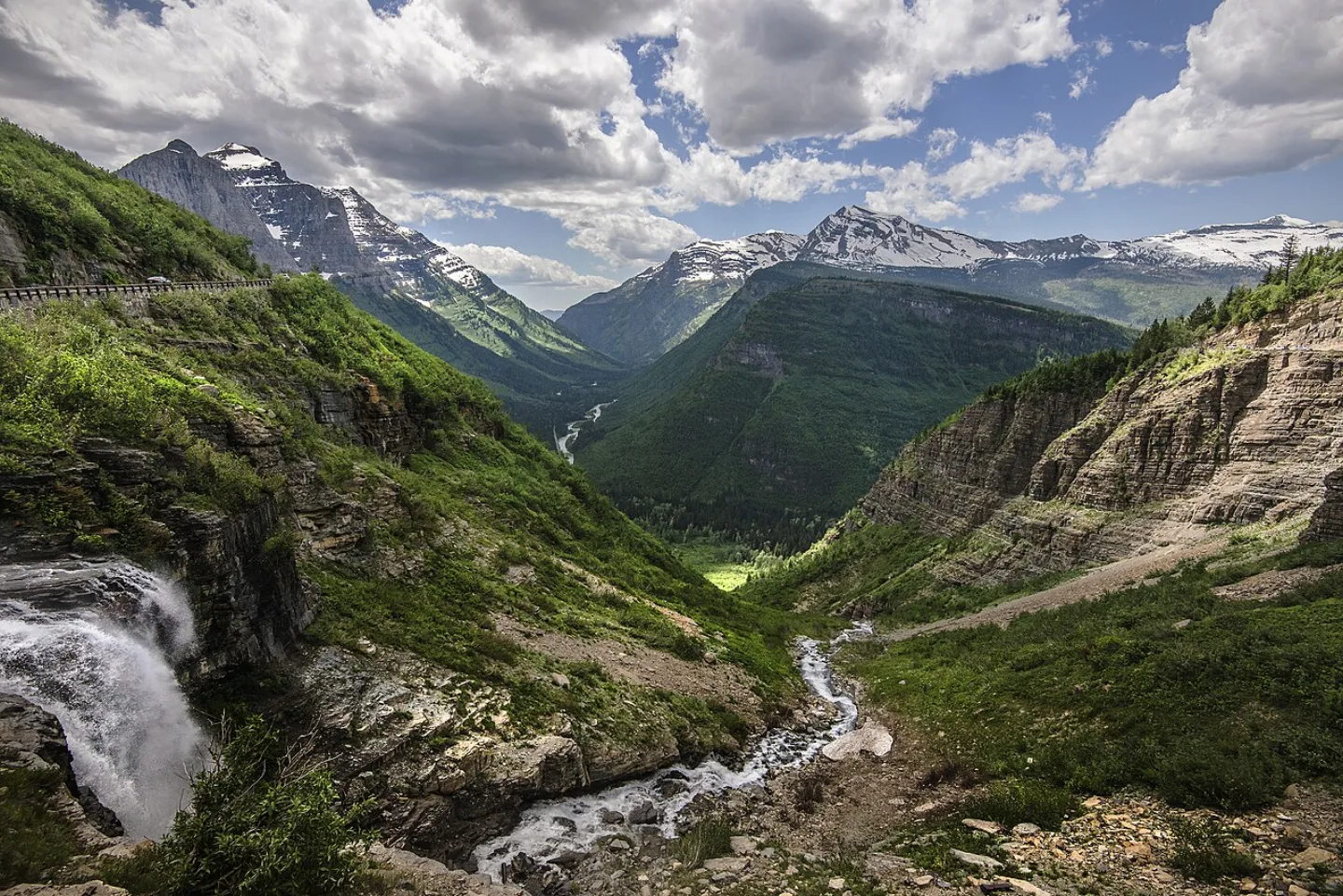 NPS / Tim Rains · Public domain ↗
Glacier
George Bird Grinnell called this the "Crown of the Continent," and the name fits: glacially carved horns and arêtes, about 700 lakes, and the engineering marvel of Going-to-the-Sun Road climbing over Logan Pass at 6,646 feet. Its rock is ancient — the billion-year-old Belt Supergroup, holding some of the best-preserved Proterozoic stromatolites on Earth. The melting namesake glaciers are vanishing fast.
Carsten Steger · CC BY-SA 4.0 ↗Yellowstone
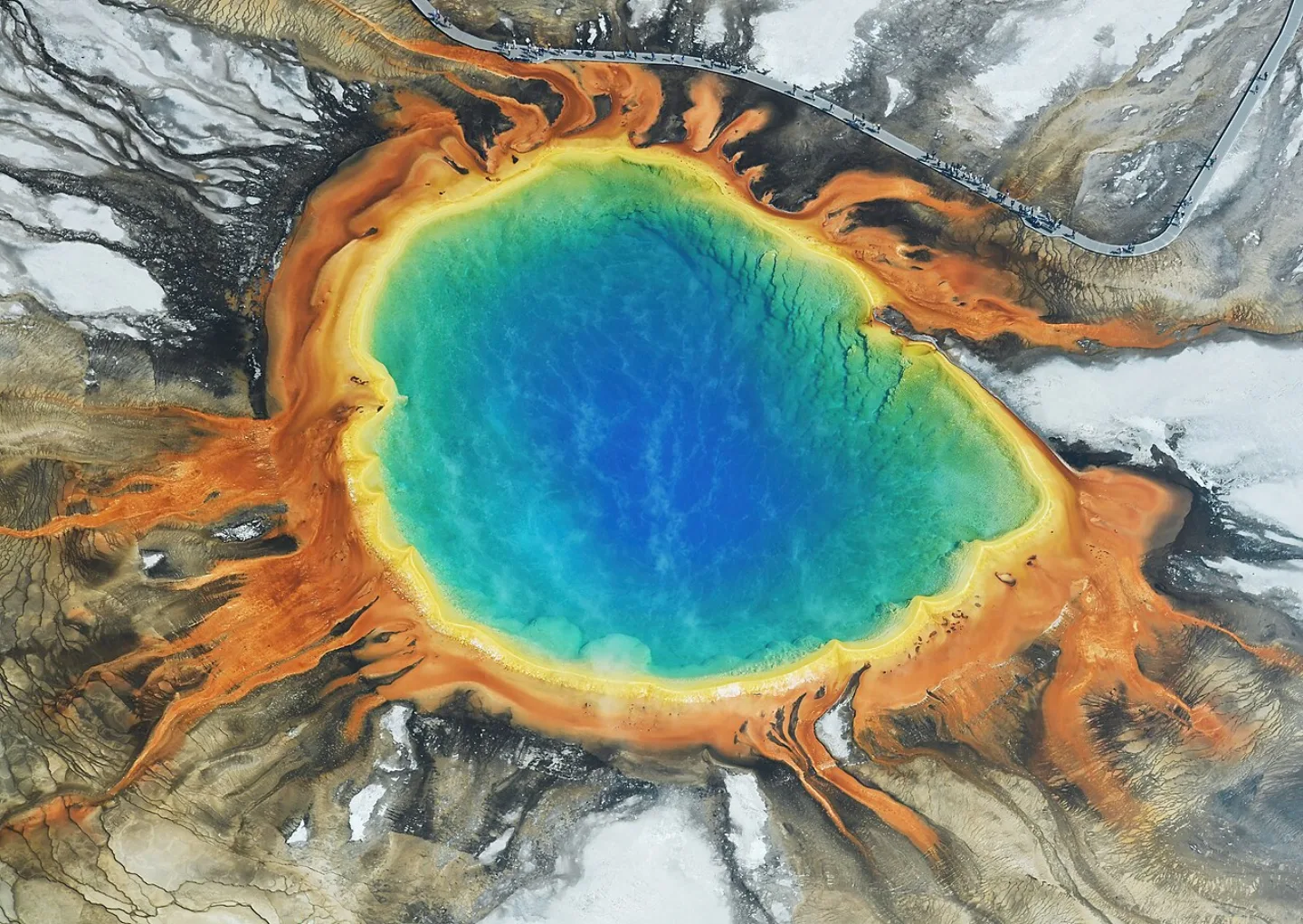
The world's first national park (1872, signed by Ulysses S. Grant) sits atop a supervolcano and holds Earth's greatest concentration of geothermal features — roughly 10,000 hydrothermal features and about 500 geysers, near half of all the active geysers on the planet. Old Faithful erupts every 60–90 minutes; the rainbow-ringed Grand Prismatic is the largest hot spring in the U.S.; Steamboat is the tallest active geyser on Earth.
 NPS/Lisa Lynch · Public domain ↗
Black Canyon of the Gunnison
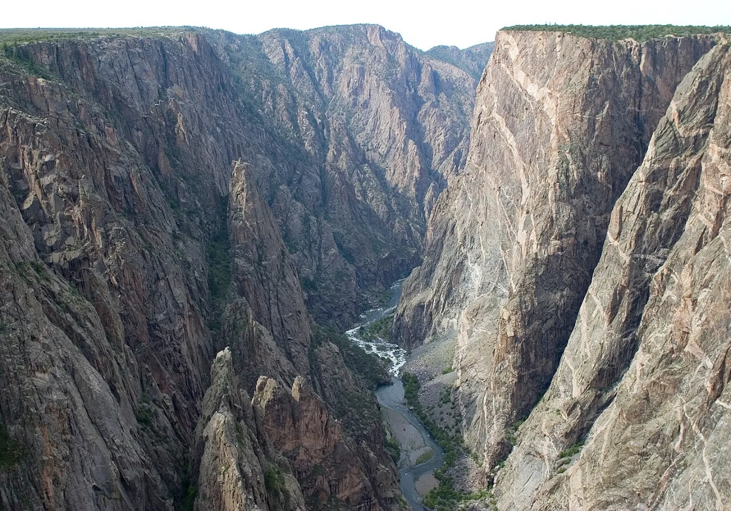
So narrow, sheer, and deep that parts of the floor get only about 33 minutes of sunlight a day — hence "black." The Painted Wall, Colorado's tallest cliff at roughly 2,250 feet, plunges from the rim. The Gunnison River cut through extraordinarily hard Precambrian gneiss and schist (about 1.7 billion years old) at roughly an inch a century; the rock's toughness kept the gorge narrow instead of letting it widen.
 Tobi 87 · CC BY-SA 4.0 ↗
Mesa Verde
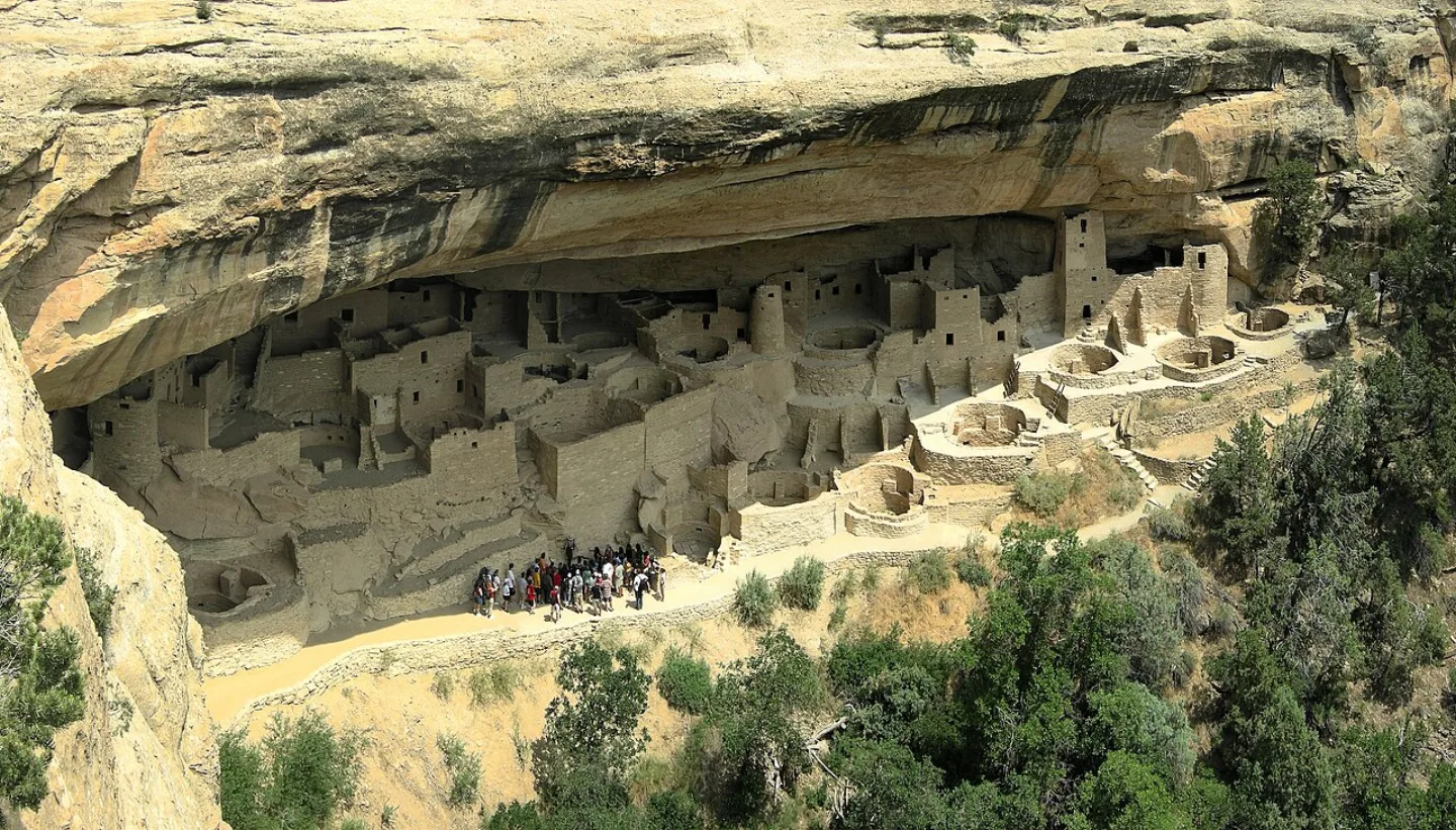
Established in 1906 as the first national park created to preserve "the works of man," Mesa Verde protects over 5,000 archaeological sites and some 600 cliff dwellings built into sandstone alcoves by the Ancestral Puebloans. Cliff Palace, with about 150 rooms, is the largest in North America. Remarkably, the Puebloans built these cliff homes only in their final 75–100 years here before departing around 1300 CE, likely driven by a long megadrought.
 James St. John · CC BY 2.0 ↗
Wind Cave
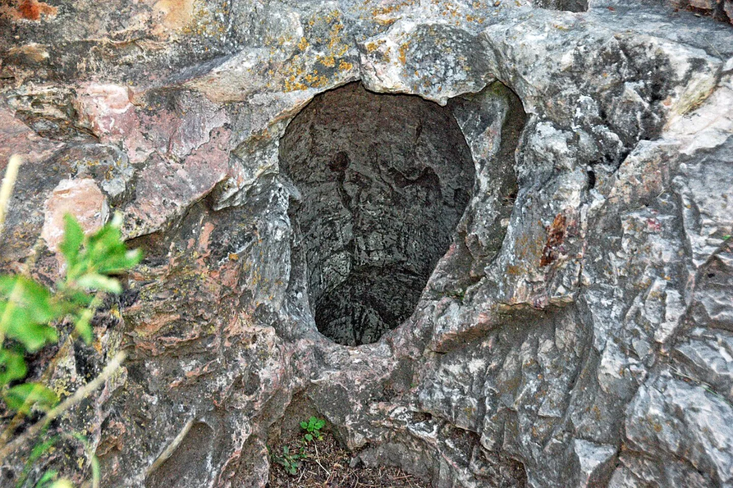
Established in 1903 as the world's first national park to protect a cave, Wind Cave is one of the longest and most complex caves on Earth — over 160 miles mapped — and holds about 95% of the world's discovered "boxwork," delicate honeycomb fins of calcite. It is named for the wind that rushes in and out of its small natural entrance as barometric pressure shifts. To the Lakota it is Maká Oníye, the sacred "breathing earth" of their emergence.
 Murray Foubister · CC BY-SA 2.0 ↗
Badlands
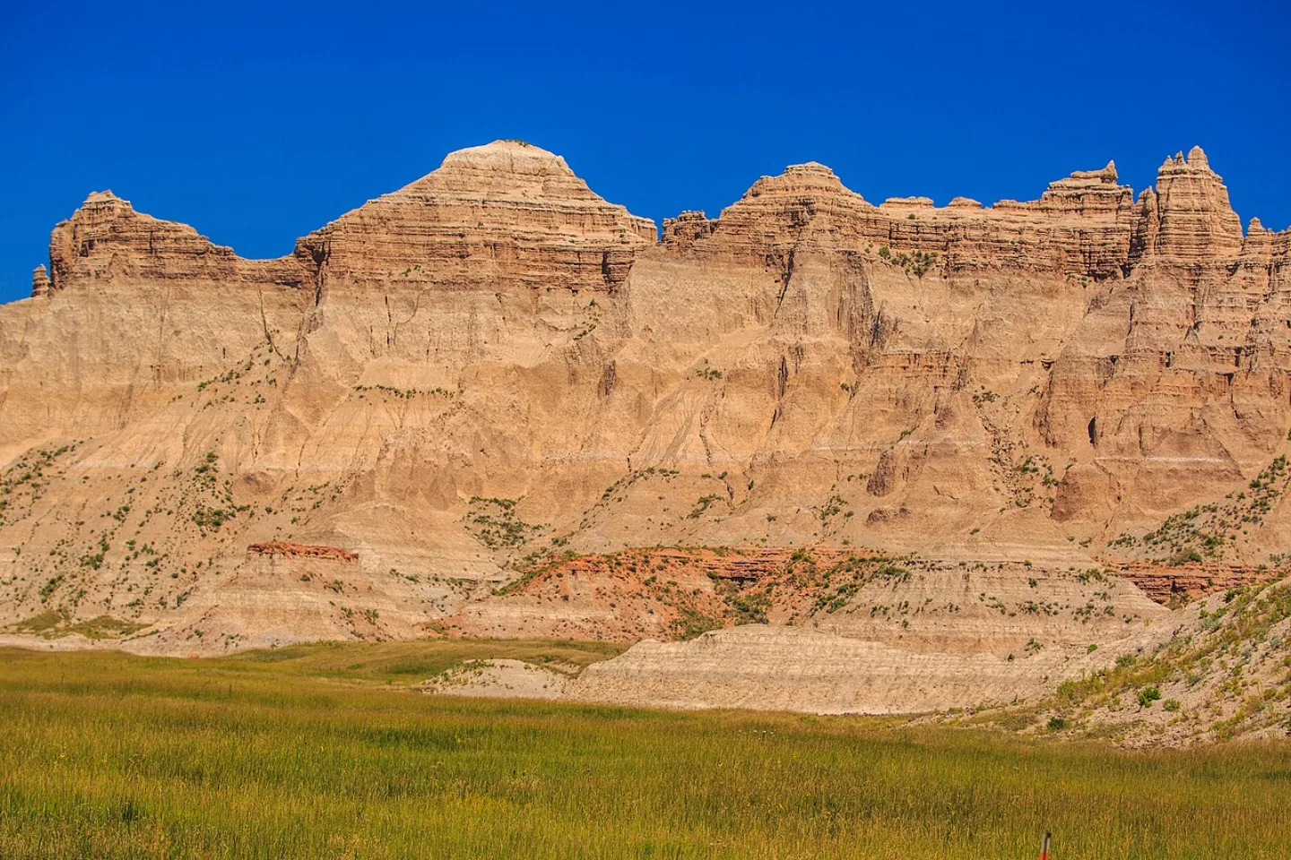
Sharply eroded buttes, pinnacles, and spires banded in pink, tan, and gold rise from the largest protected mixed-grass prairie in the National Park System. The Lakota called it Mako Sica — "land bad." Beneath the color lies one of the world's richest Oligocene mammal fossil beds, and the rock erodes so fast — about an inch a year — that paleontologists find new fossils after nearly every rainstorm.
1 / 8George Bird Grinnell dubbed which Montana park the 'Crown of the Continent'?
Grinnell's 'Crown of the Continent' name for Glacier endures, fitting its horns, aretes, ~700 lakes, and billion-year-old Belt Supergroup rock.
Lesson 9 has 65 cards. Keep going in the free app.
Question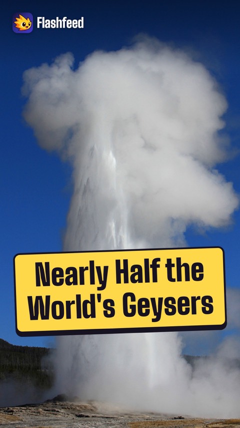
Half the World's Geysers 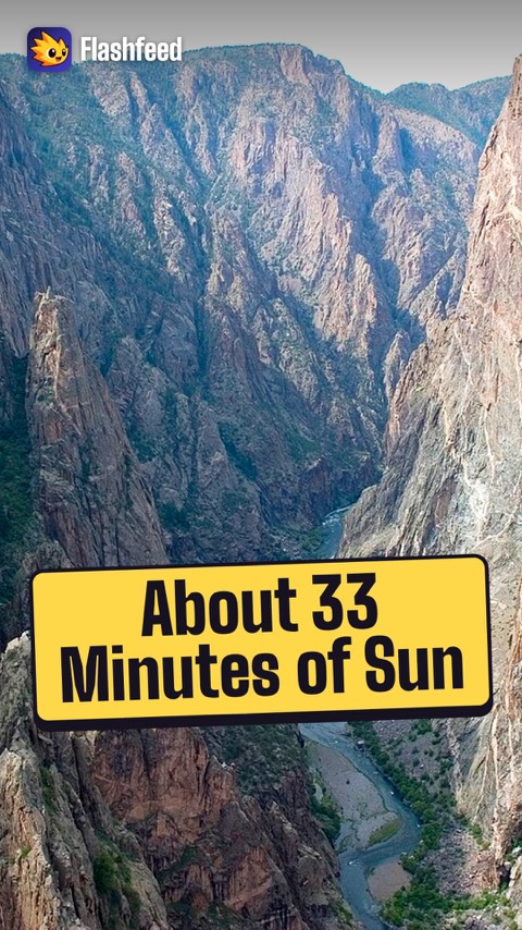
33 Minutes of Sun 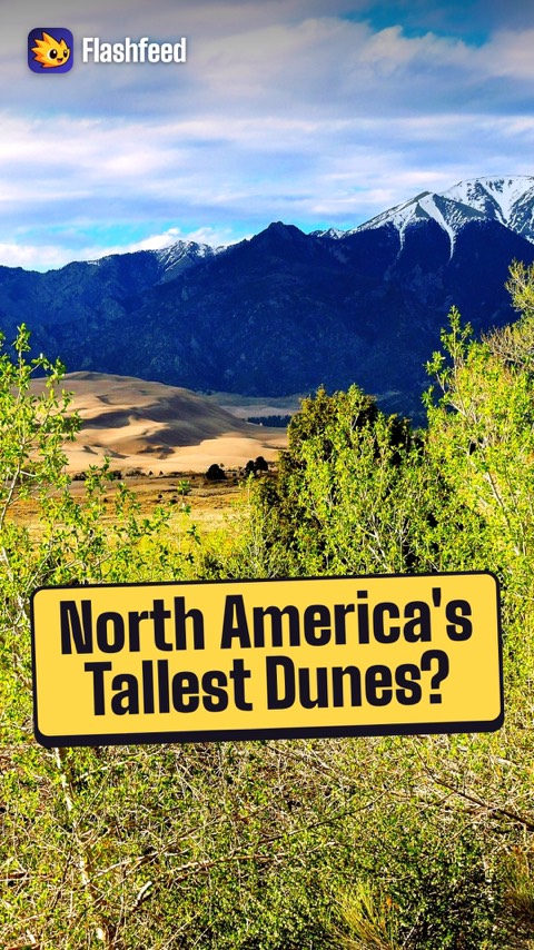
741-Foot Dunes 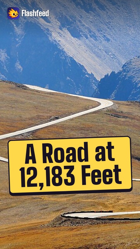
12,183 Feet All 33 clips on YouTube ↗Transcripts
Half the World's Geysers
Yellowstone sits atop one of Earth's largest active volcanic systems. Its caldera formed in a supereruption roughly 640,000 years ago.
That heat powers about 10,000 hydrothermal features, including some 500 geysers. That's nearly half of all the active geysers on Earth.
Old Faithful erupts every 60 to 90 minutes.
And heat-loving microbes studied here yielded the enzyme behind modern DNA testing.
33 Minutes of Sun
Parts of the floor of the Black Canyon of the Gunnison get only about 33 minutes of sunlight a day. It's that narrow, sheer, and deep.
The secret is the rock. It's very hard, about 1.7 billion years old. The Gunnison River cut through it at roughly an inch a century.
Soft rock would have let the gorge widen into a valley.
This rock refused. So the river drove down instead of out.
741-Foot Dunes
Which western park is it? 3 clues.
Clue 1: a Colorado park in the high San Luis Valley, where you can sandboard and stargaze.
Clue 2: its dunes are piled against the 13,000-foot Sangre de Cristo Mountains.
Clue 3: they top out near 741 feet, the tallest in North America.
The last, oddly specific number leaves only one answer standing.
It's Great Sand Dunes.
12,183 Feet
One number captures Rocky Mountain National Park: 12,183 feet.
That's where Trail Ridge Road crests. It's the highest continuous paved road in the United States.
For miles, it runs above treeline through alpine tundra. Each spring, crews must clear drifts up to 20 feet deep before it can open.
It's the rare place where a family in a sedan can drive into a world usually reserved for climbers.
-
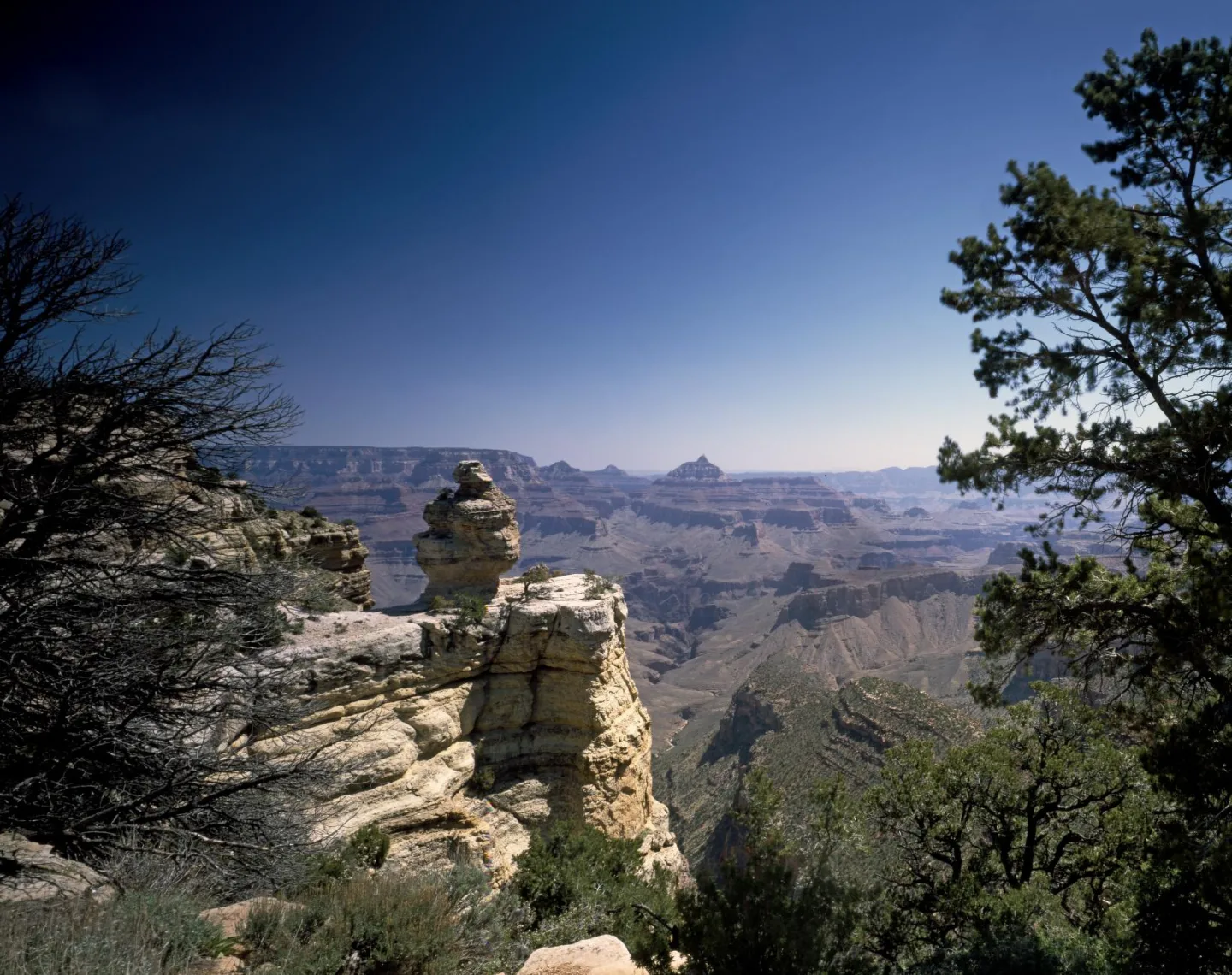 Library of Congress · View of the Grand Canyon from the South Rim, Grand Canyon Vi · No known restrictions (verify at source) ↗10
Lesson 10: Southwest & Colorado Plateau
Canyon Country · Rock, Wood & Cactus · Caves, Reefs & Extremes · Which Southwest Park Is It? · By the Numbers
Lesson 10 · 10 cardsLibrary of Congress · View of the Grand Canyon from the South Rim, Grand Canyon Vi · No known restrictions (verify at source) ↗Grand Canyon
Carved by the Colorado River, this gorge runs ~277 river miles long, up to 18 miles wide, and over a mile deep — exposing nearly 2 billion years of Earth's history in its layered walls. The river only began cutting ~5–6 million years ago as the Colorado Plateau rose. Eleven tribes are traditionally associated with the canyon, including the Havasupai, who still live at Supai deep inside it.
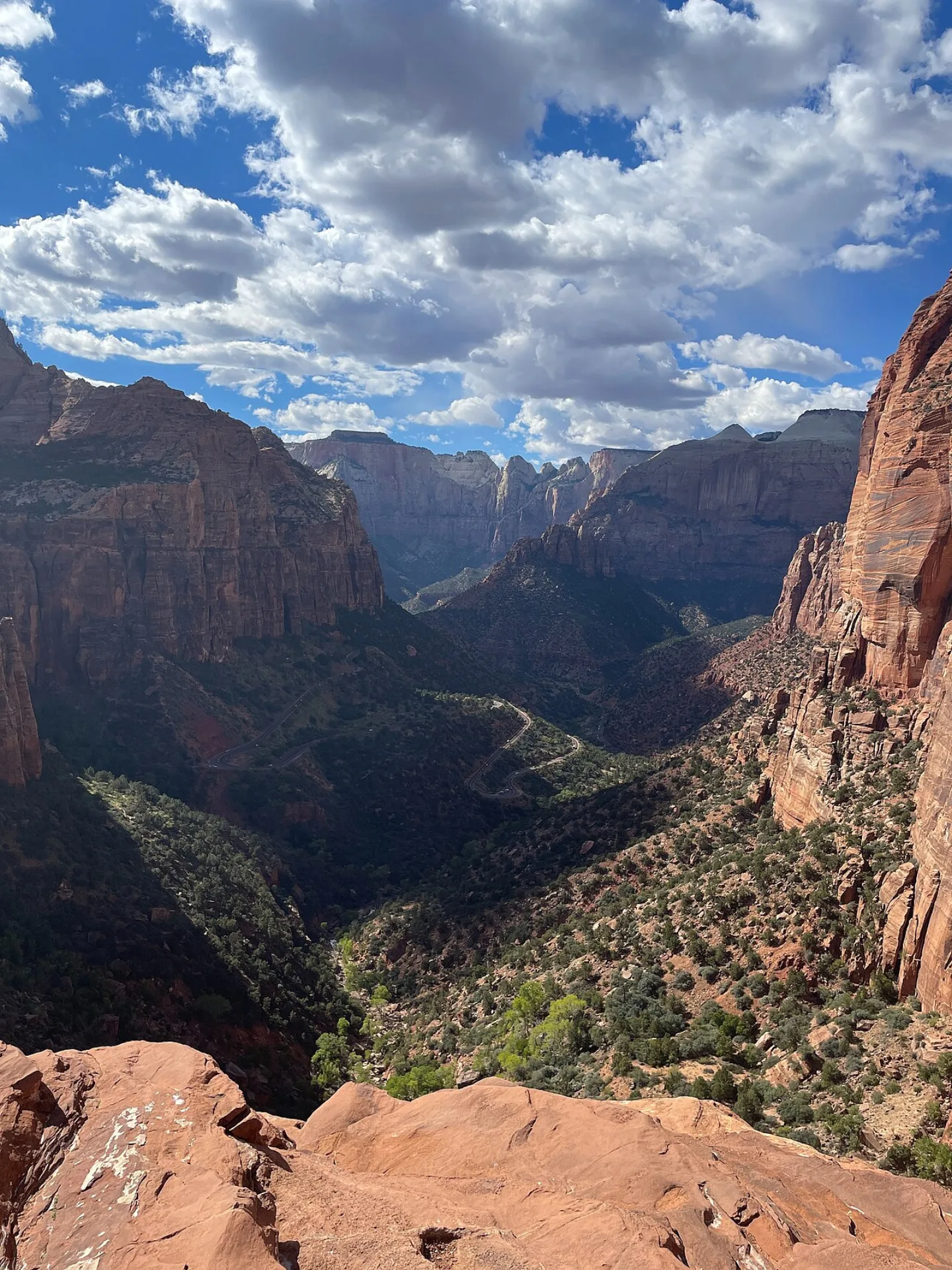 Allen Boguslavsky · CC BY-SA 4.0 ↗
Zion
Utah's first national park (1919) is a canyon of towering Navajo Sandstone cliffs — petrified ancient sand dunes ~180 million years old — in red, pink, and cream. The Virgin River still deepens it, carving The Narrows slot canyon. Angels Landing's knife-edge spine got its name in 1916 when a visitor said "only an angel could land on it"; its chained route is now lottery-controlled. With about 4.95 million visitors in 2024, Zion is the 2nd-most-visited national park.
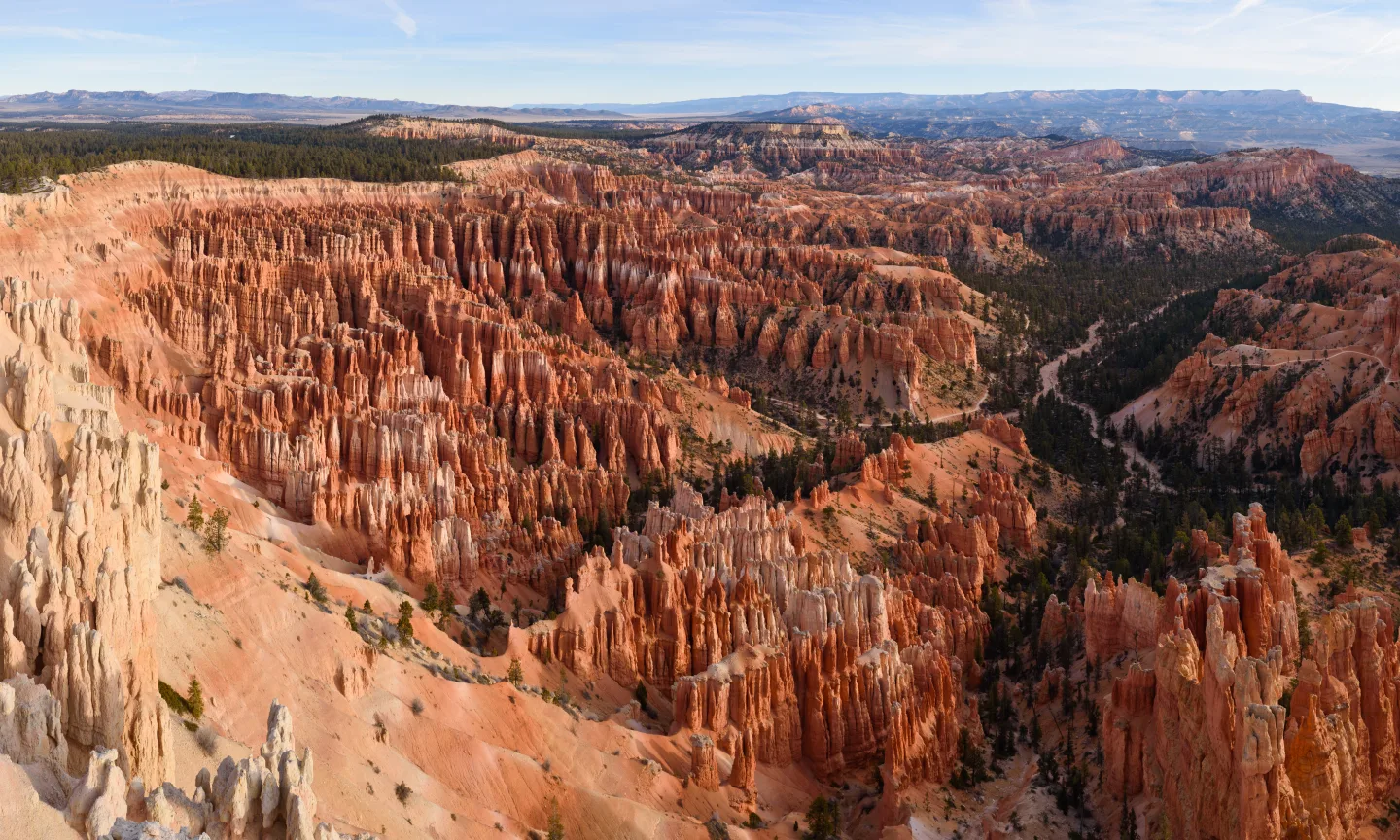 Wikimedia Commons · King of Hearts · CC BY-SA 4.0 ↗
Bryce Canyon
Bryce holds the densest concentration of hoodoos — rock spires — on Earth, glowing orange, pink, and white in vast natural amphitheaters. They form from over 200 freeze-thaw cycles a year wedging apart the limestone, and the rim erodes back 1–4 feet per century. Southern Paiute legend says the hoodoos are the "Legend People" turned to stone by Coyote. Despite its name, Bryce is not a canyon at all — it's amphitheaters eroded into a plateau's edge.
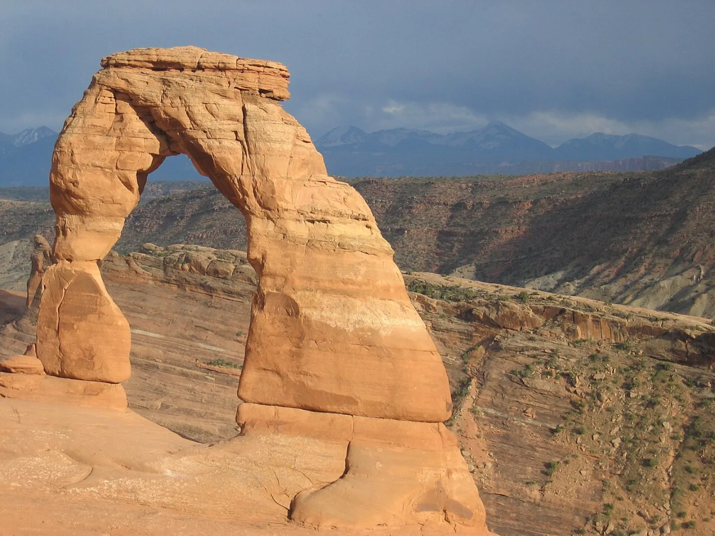 “Jon Zander (Digon3)” · CC BY-SA 3.0 ↗
Arches
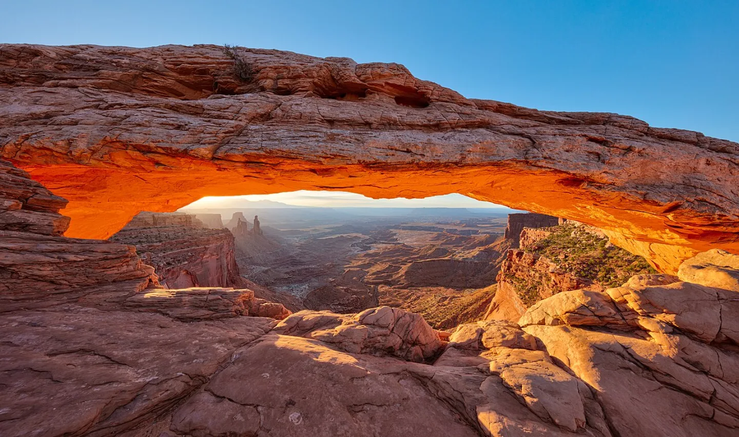
Near Moab, Arches catalogs over 2,000 natural stone arches — the greatest density on Earth — including the 52-ft freestanding Delicate Arch on Utah's license plate and Landscape Arch, a ~290-ft span among the longest in the world. Arches form where water and ice widen cracks in Entrada Sandstone fins until a hole opens; they also collapse, as Wall Arch did in 2008. Ranger Edward Abbey wrote the wilderness classic Desert Solitaire here in 1968.
 Thomas Wolf, www.foto-tw.de · CC BY-SA 3.0 ↗
Canyonlands
Utah's largest national park is a vast wilderness carved by the Green and Colorado Rivers into four districts: Island in the Sky's mesa-top overlooks, the banded spires of The Needles, the remote Maze, and the rivers themselves. Mysterious Upheaval Dome may be a meteor crater or a collapsed salt dome. The Maze is so remote the NPS warns help can be days away — it was a hideout for outlaws like Butch Cassidy.
 Wikimedia Commons · Mav · CC BY-SA 2.5 ↗
Capitol Reef
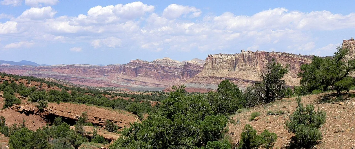
Capitol Reef protects the Waterpocket Fold — a ~100-mile-long "wrinkle" in the Earth's crust where rock layers were bent and uplifted 50–70 million years ago, then eroded into colorful cliffs and domes (one resembling the U.S. Capitol). At its heart is Fruita, a historic Mormon orchard settlement. Visitors can still pick fruit from the ~1,900 trees the NPS maintains — and buy fresh-baked pies at the Gifford House.
 Wikimedia Commons · Jeffhollett · CC BY-SA 4.0 ↗
Petrified Forest
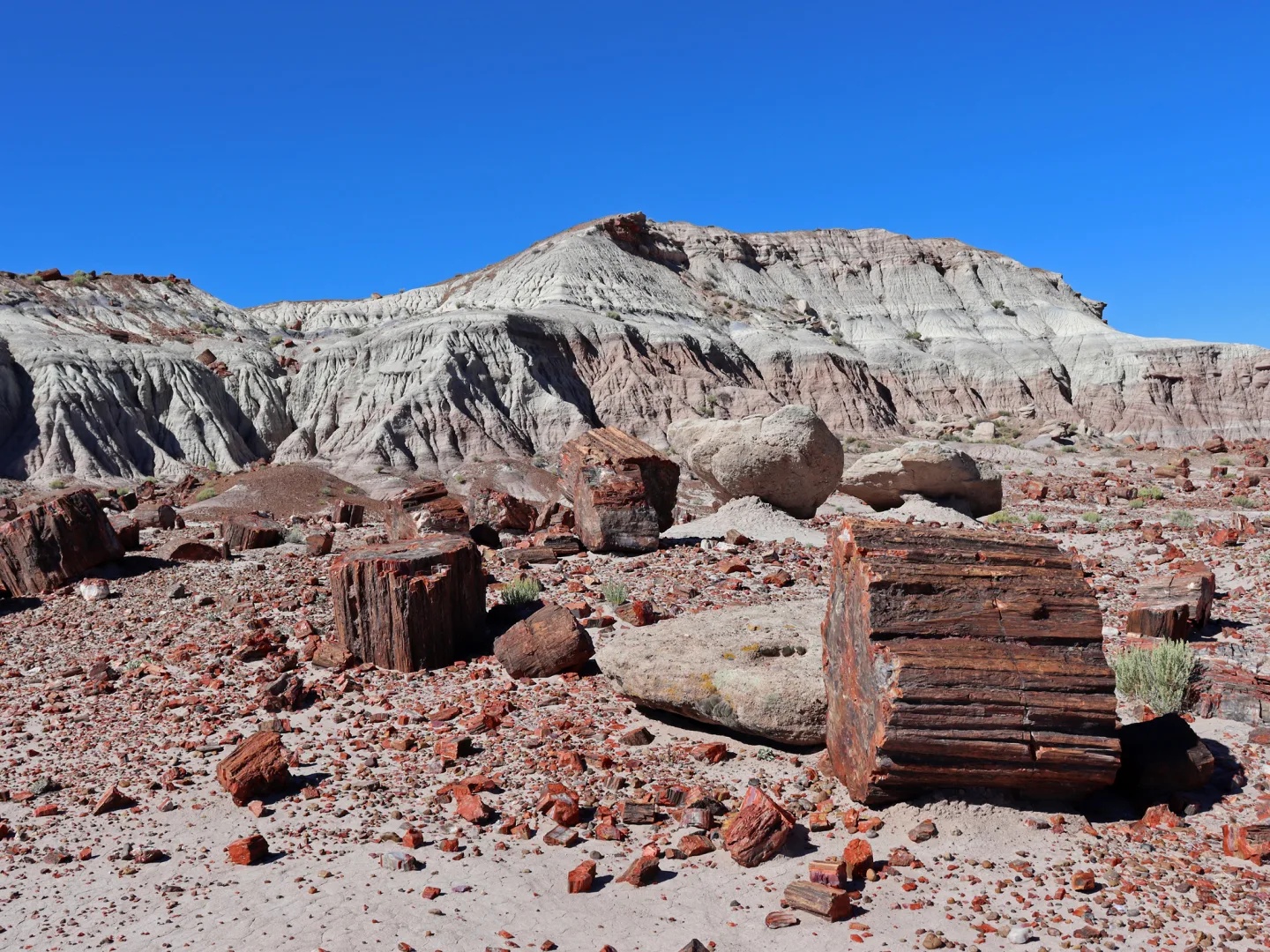
Along old Route 66 in eastern Arizona lies one of the world's largest concentrations of petrified wood — ~225-million-year-old Triassic logs turned to rainbow quartz, plus the banded badlands of the Painted Desert. Silica-rich groundwater replaced the wood cell-by-cell, with iron and manganese coloring the agate. It's the only national park containing a stretch of historic Route 66. Taking petrified wood is illegal — and the park keeps a famous file of "conscience letters" from visitors returning stolen pieces that brought bad luck.
 National Park Service · Public domain ↗
Saguaro
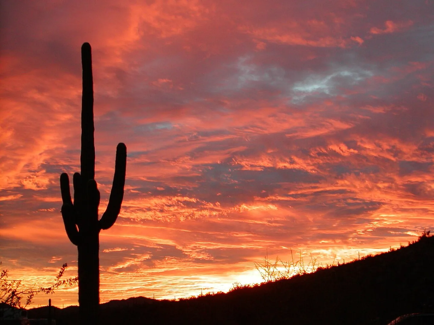
Flanking Tucson in two districts, Saguaro protects dense forests of the giant saguaro cactus — the iconic symbol of the American West, found only in the Sonoran Desert. Saguaros can live 150–200 years, grow over 40 feet, weigh several tons when full of water, and may not sprout a first arm until age 50–75. The Tohono O'odham harvest the fruit each summer to mark their new year. A "nurse tree" like a palo verde shelters the seedling for decades before the cactus outlives it.
 Wikimedia Commons · Jarek Tuszyński · CC BY-SA 3.0 ↗
Joshua Tree
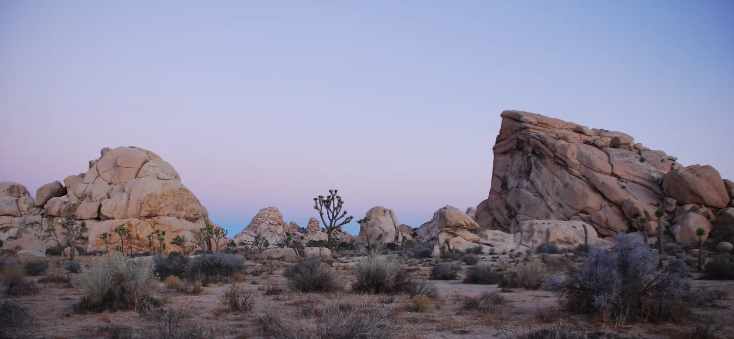
East of Los Angeles, Joshua Tree marks where the Mojave and Colorado deserts meet — the higher, cooler Mojave full of twisted Joshua trees (giant yuccas), the lower, hotter Colorado of creosote and cholla. Jumbled monzogranite boulders that formed underground and weathered into rounded stacks draw climbers to 8,000+ routes. Mormon settlers reputedly named the tree for the prophet Joshua reaching skyward; it's pollinated only by the yucca moth in a strict mutualism.
 Unsplash · Ryuta F. · Unsplash License ↗
Guadalupe Mountains
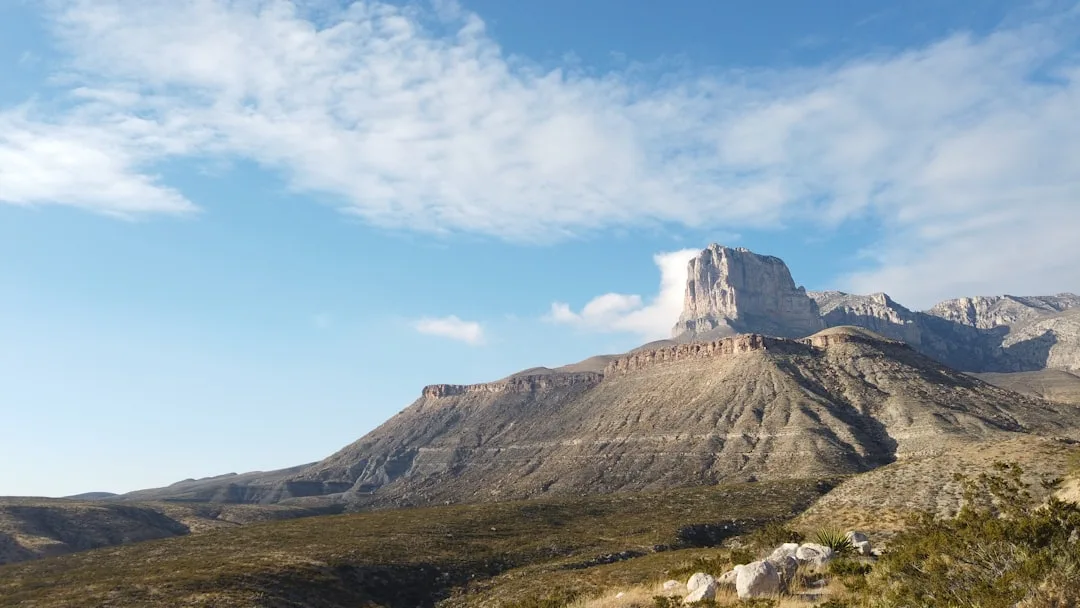
West Texas hides Guadalupe Peak (8,751 ft), the highest point in the state, beside El Capitan's sheer limestone prow and McKittrick Canyon's blazing fall foliage. The whole range is an exposed slice of the Permian Capitan Reef — a ~265-million-year-old fossil reef from a tropical sea, one of the best-preserved on Earth (the same reef that hosts Carlsbad Caverns). Geologists travel here to study an ancient marine reef now standing as desert mountains.
1 / 10About how long is the Grand Canyon, measured along the Colorado River that carved it?
The Colorado runs ~277 miles through the canyon. 18 miles is its maximum width, not its length.
Lesson 10 has 74 cards. Keep going in the free app.
Question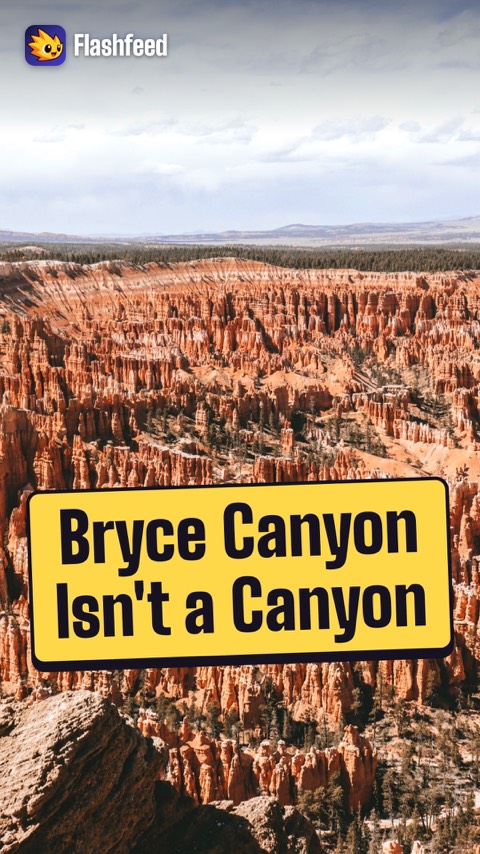
Not a Canyon 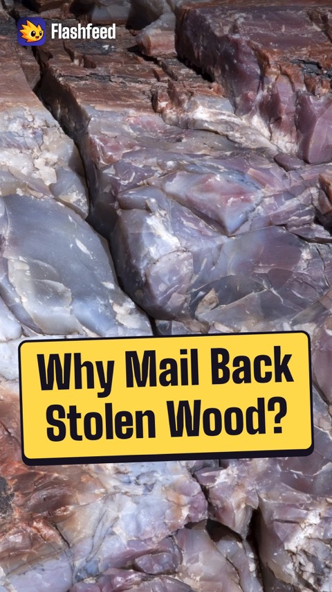
Conscience Letters 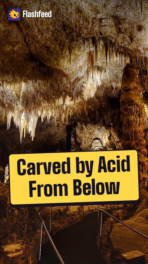
Carved by Acid 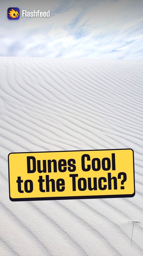
Cool White Dunes 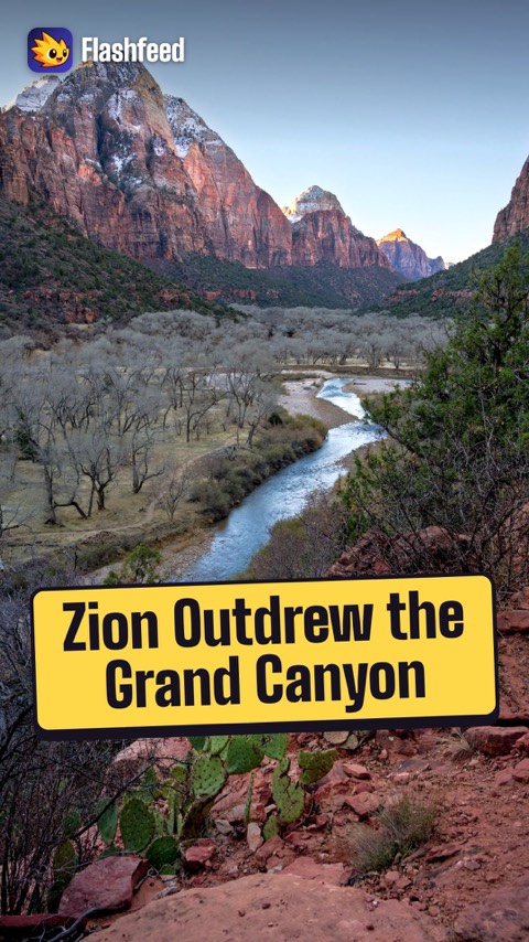
Zion vs. Grand Canyon All 33 clips on YouTube ↗Transcripts
Not a Canyon
Despite its name, Bryce Canyon isn't a canyon. It's a series of natural amphitheaters, eroded into the edge of a plateau.
Inside them stands the densest concentration of hoodoos on Earth: rock spires glowing orange, pink, and white.
They form as over 200 freeze-thaw cycles a year pry the limestone apart.
And the rim keeps retreating, 1 to 4 feet per century. Southern Paiute legend says the hoodoos are the Legend People, turned to stone by Coyote.
Conscience Letters
Petrified Forest holds one of the world's largest concentrations of petrified wood. The logs are about 225 million years old, turned to rainbow-colored quartz.
Silica-rich groundwater replaced the wood, cell by cell. Iron and manganese painted it red, orange, and purple.
Taking petrified wood is illegal.
And the park keeps a famous file of conscience letters, from visitors mailing back stolen pieces they blame for bad luck.
Carved by Acid
Carlsbad Caverns' Big Room is one of the largest cave chambers in North America: about 8.2 acres of floor.
It formed in an unusual way. Sulfuric acid rose from oil and gas deposits below. It dissolved the limestone of an ancient reef from the inside.
Ordinary caves form from rainwater seeping down.
And each summer evening, hundreds of thousands of Brazilian free-tailed bats pour out at dusk.
Cool White Dunes
Which Southwest park is it? Name it before the last clue gives it away.
Clue one: a New Mexico park in the Tularosa Basin, ringed by a military missile range.
Clue two: its dunes are the world's largest gypsum field, brilliant white and cool to the touch.
Clue three: fossilized human footprints here suggest people walked the basin over 20,000 years ago.
It's White Sands.
Zion vs. Grand Canyon
Zion outdrew the Grand Canyon in 2024. It had about 4.95 million visitors, the second-most of any national park.
Grand Canyon welcomed about 4.92 million, the third-most.
That's remarkable for Zion: a single narrow canyon, served mostly by shuttle.
And at Grand Canyon, roughly 90% of visitors head to the South Rim.
-
 Tuxyso · CC BY-SA 3.0 ↗11
Lesson 11: California, Pacific Northwest & Hawaii
California Giants · Coast, Spires & the Northwest · Volcanoes & the Pacific Edge · Which Pacific Park Is It? · By the Numbers
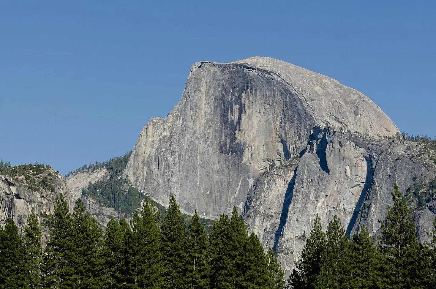
Lesson 11 · 10 cardsTuxyso · CC BY-SA 3.0 ↗Yosemite
Glaciers carved this granite cathedral in California's Sierra Nevada into the U-shaped Yosemite Valley, walled by El Capitan's ~3,000-ft cliff and the sheer face of Half Dome. Yosemite Falls plunges 2,425 ft — the tallest waterfall in North America. The 1864 Yosemite Grant was the first federal scenic-land protection; the park followed in 1890 after John Muir's advocacy.
 Unsplash · Taisia Karaseva · Unsplash License ↗
Sequoia
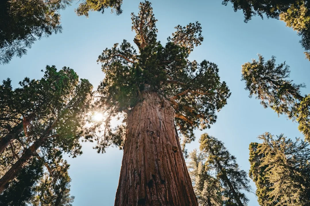
The General Sherman Tree here is the largest single-stem tree on Earth by volume — roughly 52,500 cubic feet, about 275 ft tall, and an estimated 2,200 years old. Established in 1890, the second-oldest national park guards the Giant Forest groves, and Mount Whitney (14,505 ft), the highest peak in the contiguous U.S., rises on its eastern boundary. Giant sequoias actually need fire to open their cones.
 Crd637 · CC BY-SA 3.0 ↗
Kings Canyon
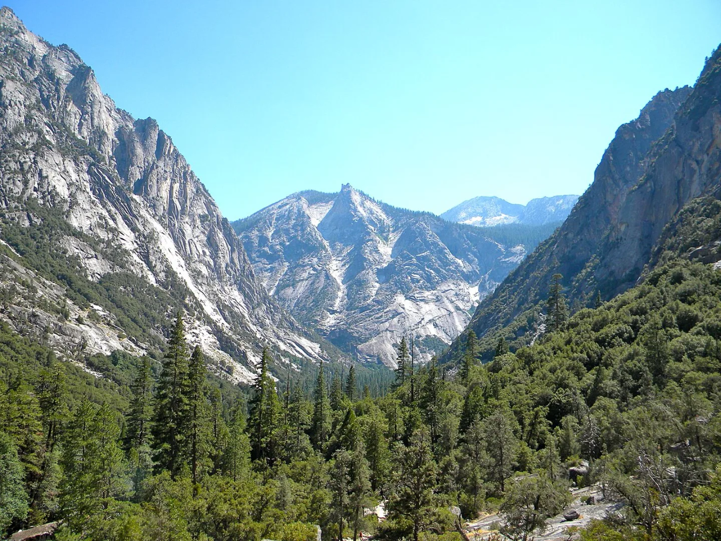
Adjoining Sequoia to the north, Kings Canyon plunges nearly 8,000 ft from river to peak — among the deepest canyons in North America. The General Grant Tree, the third-largest tree on Earth, is the nation's official Christmas Tree. John Muir called this glacier-carved, granite-walled wilderness a 'rival to Yosemite'; most of the 462,000-acre park is roadless backcountry threaded by the John Muir Trail.
 Av9 · Public domain ↗
Lassen Volcanic
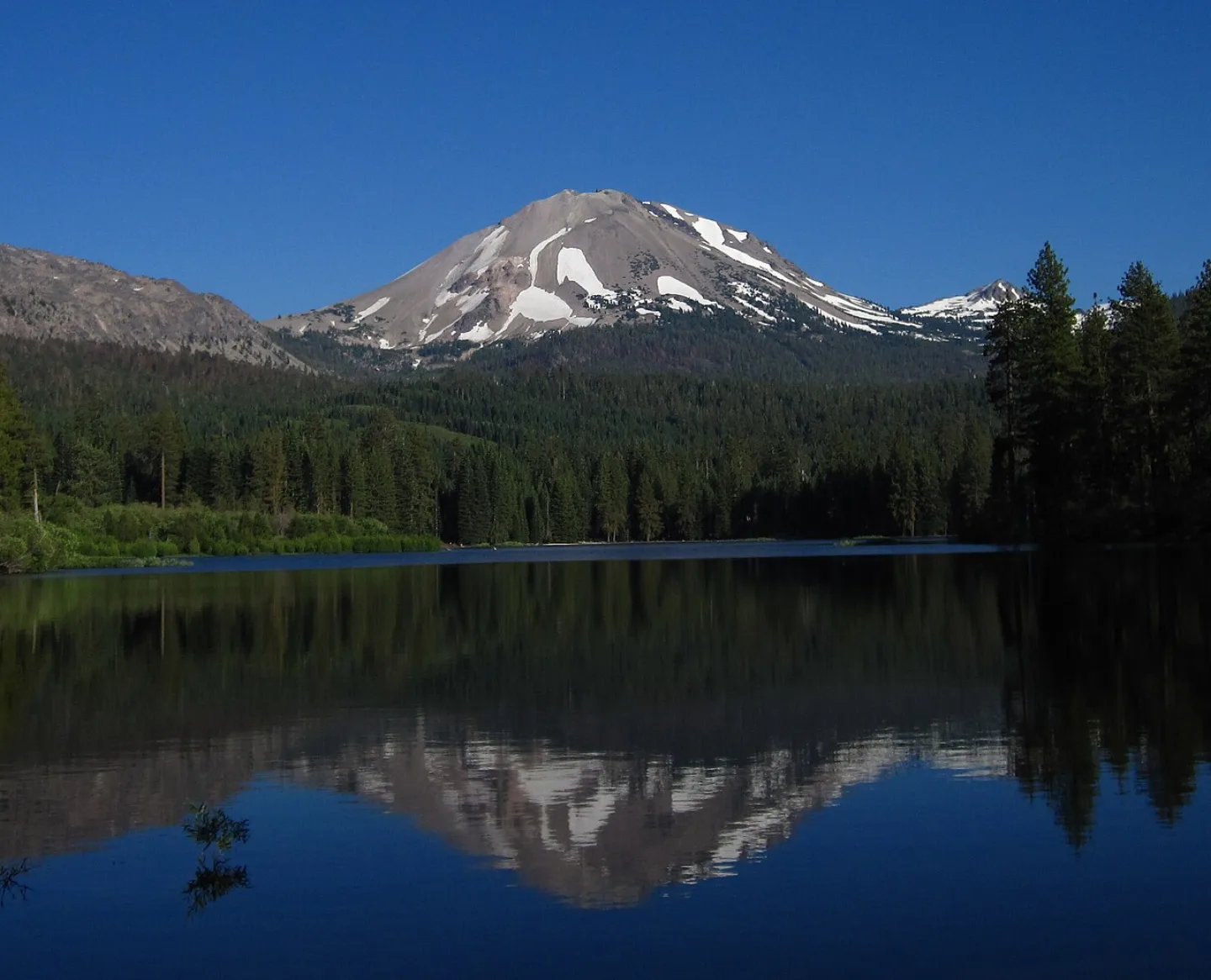
Lassen Peak (10,457 ft) is one of the largest plug-dome volcanoes on Earth, and it erupted from 1914 to 1917 — the most recent Cascade eruption before Mount St. Helens in 1980. All four volcano types occur in this Northern California park, and Bumpass Hell bubbles with boiling mudpots and fumaroles. The park, founded in 1916, is also a designated Dark Sky Park.
 Michael Schweppe · CC BY-SA 2.0 ↗
Redwood
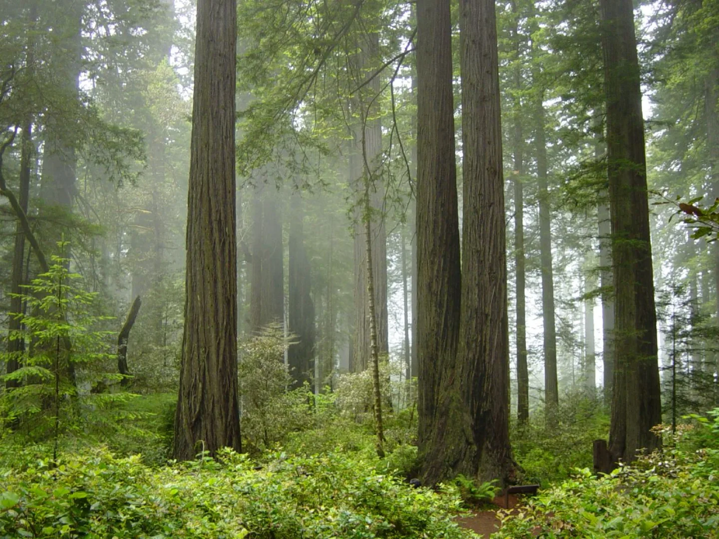
The coast redwoods of far Northern California are the tallest trees on Earth, including Hyperion at about 380 ft — taller than a 35-story building. Nourished by Pacific fog, they can live ~2,000 years. After logging erased ~95% of the original old growth, these jointly managed national and state parks now protect about 45% of what remains. Hyperion's exact location is kept secret to protect it.
 AI-generated (gpt-image-1.5)
Pinnacles
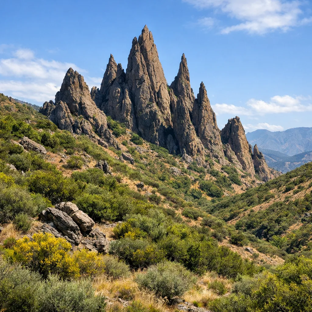
Pinnacles is literally a chunk of an ancient volcano. The Neenach Volcano was split by the San Andreas Fault and carried ~195 miles northwest over some 23 million years — its other half still sits in Southern California. Boulders wedged in narrow canyons form rare talus caves, and the spires are one of the best places on Earth to watch wild California condors. It became a national park in 2013.
 Craig Baker · CC BY-SA 4.0 ↗
Channel Islands
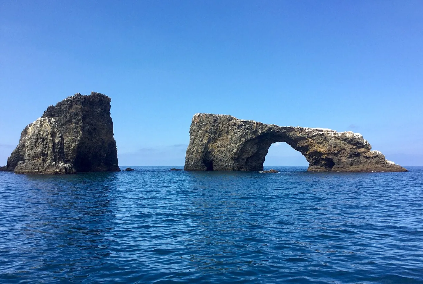
Five undeveloped islands off the Southern California coast — the 'Galápagos of North America' — host about 150 endemic species, sea caves, kelp forests, and vast seabird colonies. The dwarf island fox, no bigger than a house cat, crashed to ~1,500 animals before recovering to be delisted in 2016, one of the fastest Endangered Species Act recoveries ever. The Chumash navigated these waters for ~13,000 years.
 King of Hearts · CC BY-SA 4.0 ↗
Olympic
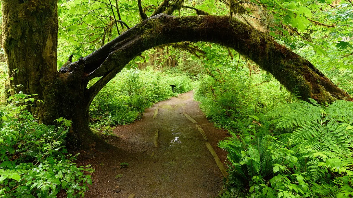
Olympic packs three worlds into one park: glaciated mountains crowned by Mount Olympus (7,980 ft), the Hoh temperate rainforest that drinks ~12–14 ft of rain a year, and ~73 miles of wild Pacific coastline. You can touch a glacier, a rainforest, and a wild ocean beach in a single day. Championed by Franklin Roosevelt and made a park in 1938, it is both a UNESCO Biosphere Reserve and a World Heritage Site.
 Bob Collowan · CC BY-SA 3.0 ↗
Mount Rainier
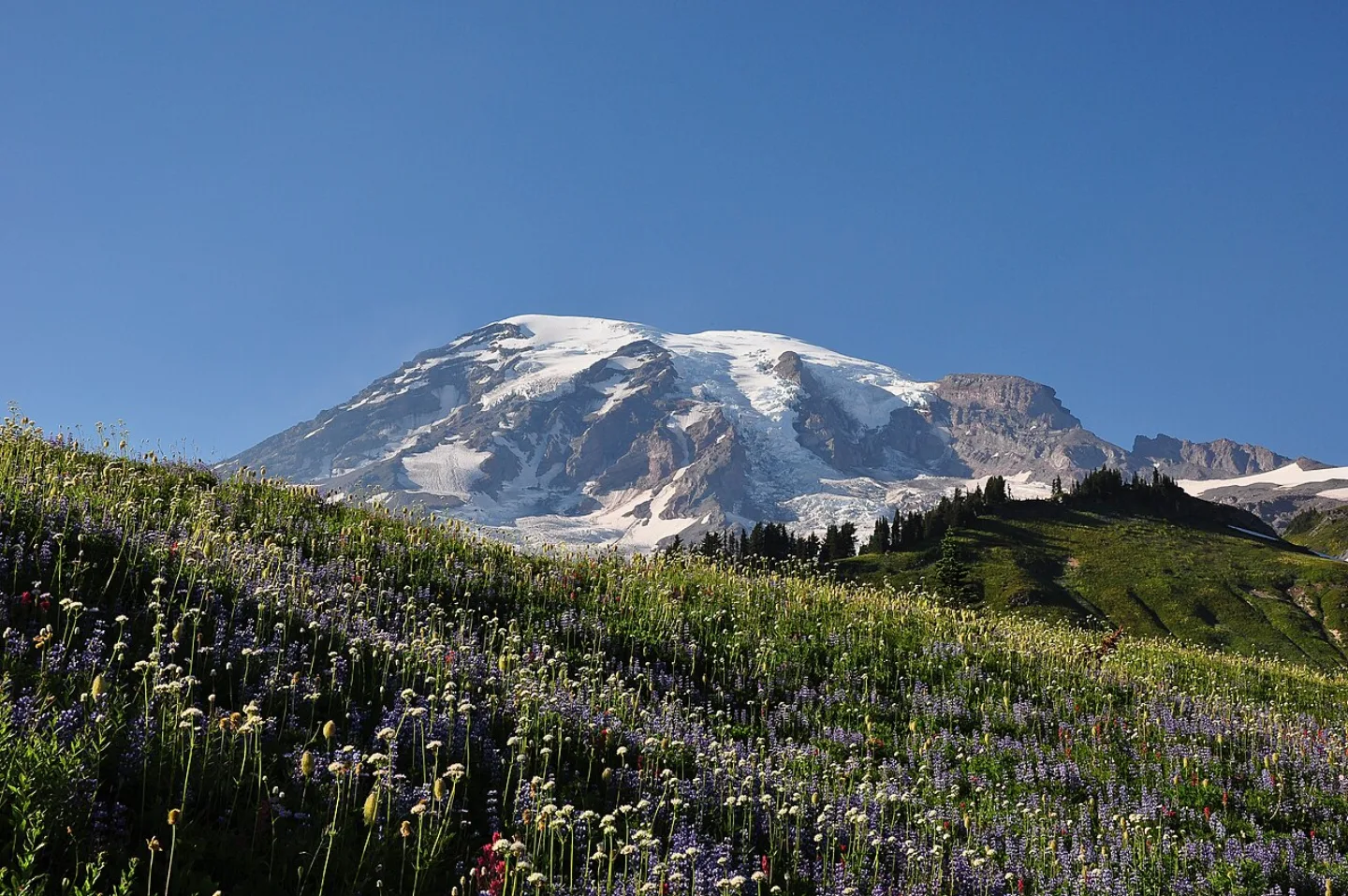
Mount Rainier (14,410 ft) is an active, glacier-clad stratovolcano — the most heavily glaciated peak in the contiguous U.S., wearing ~26 major glaciers. Geologists rank it among America's most dangerous volcanoes because lahars (volcanic mudflows) could reach Puget Sound cities. In summer, the Paradise meadows blaze with wildflowers. Established in 1899, it was the nation's fifth national park.
 Trougnouf (Benoit Brummer) · CC BY 4.0 ↗
Crater Lake
At 1,943 ft deep, Crater Lake is the deepest lake in the United States. It fills the caldera left when Mount Mazama erupted and collapsed ~7,700 years ago, fed only by rain and snowmelt — no inlet, no outlet — which keeps the water astonishingly clear and an intense, pure blue. Wizard Island, a cinder cone, rises from its surface. The Klamath people remember the eruption in oral tradition.
1 / 10How far does Yosemite Falls, the tallest waterfall in North America, plunge?
Yosemite Falls drops 2,425 ft. 3,000 ft is El Capitan's face, 4,737 ft is Half Dome above the valley, and 1,943 ft is Crater Lake's depth.
Lesson 11 has 76 cards. Keep going in the free app.
Question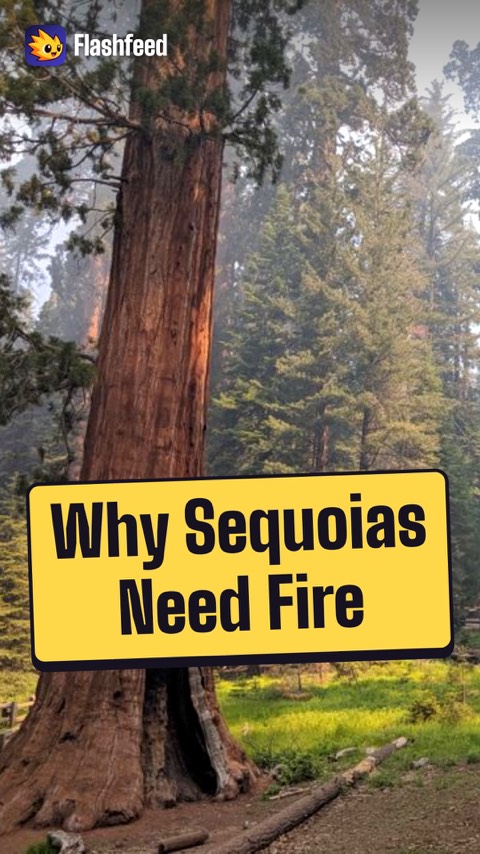
Sequoias Need Fire 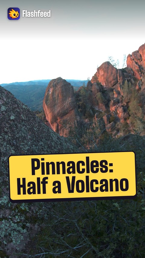
Half a Volcano 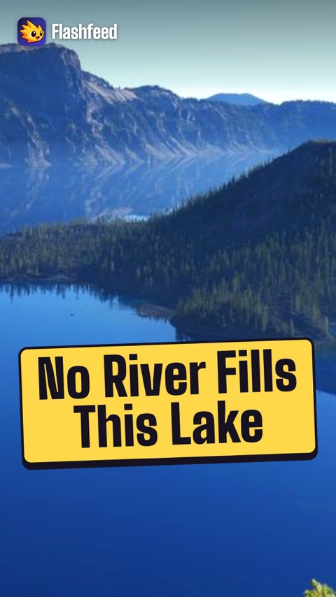
No River In or Out 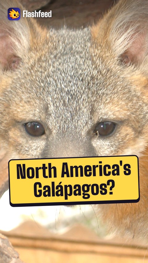
The Galápagos of North America 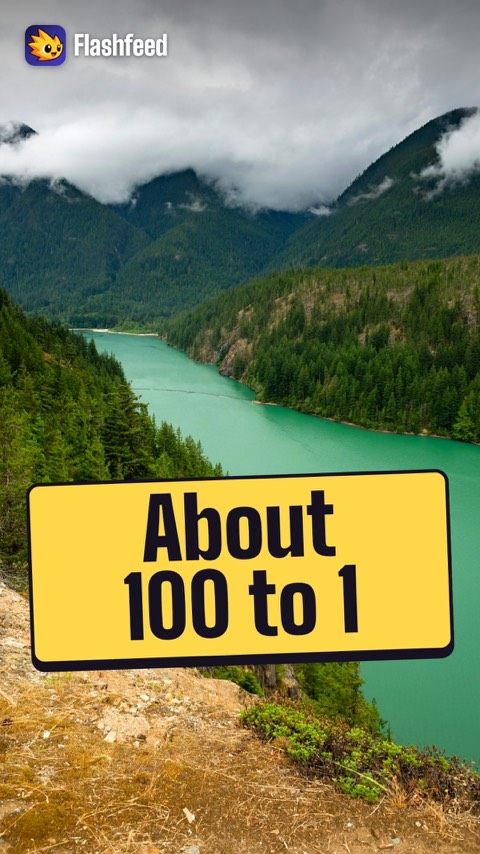
A Hundredth of the Crowds All 33 clips on YouTube ↗Transcripts
Sequoias Need Fire
Counterintuitively, giant sequoias need fire. Their cones open in heat.
So decades of fire suppression actually threatened the species' renewal.
And thick, tannin-rich bark makes the mature trees nearly fireproof.
The most famous is the General Sherman, an estimated 2,200 years old. It stands in Sequoia, the second-oldest national park, established in 1890.
Half a Volcano
Pinnacles is, almost literally, half of a volcano.
The San Andreas Fault split the ancient Neenach Volcano. Its western half was carried about 195 miles northwest, over some 23 million years.
The other half still sits in Southern California. Pinnacles became a national park in 2013, one of the smallest in the system.
The journey left dramatic rock spires, and rare talus caves where boulders jammed into narrow canyons.
No River In or Out
At 1,943 feet deep, Crater Lake is the deepest lake in the United States.
It fills the caldera of Mount Mazama, which erupted and collapsed roughly 7,700 years ago.
No river runs in or out. The basin filled with rain and snowmelt alone. That keeps the water exceptionally clear, scattering sunlight back as an intense, pure blue.
And Wizard Island rises from one side: a volcano within a volcano.
The Galápagos of North America
Which Pacific park is it? Three clues, narrowing to the giveaway.
Clue one: 5 undeveloped islands off Southern California, reachable only by boat or plane.
Clue two: it's called the Galápagos of North America, with about 150 endemic species.
Clue three: a house-cat-sized fox recovered from about 1,500 animals, and was delisted in 2016.
It's Channel Islands.
A Hundredth of the Crowds
Yosemite draws about 4.1 million visitors a year. It's one of the busiest parks in the system, which is why peak-period reservations have become routine.
North Cascades sees only about 40,000 a year. That's roughly a hundredth of Yosemite's crowds.
It isn't hard to get near. It sits just hours from Seattle.
So for every visitor here, Yosemite gets about 100.
-
 Wikimedia Commons · Denali National Park and Preserve · Public domain ↗12
Lesson 12: The Alaskan Giants
Alaskan Giants: Denali to Katmai · Alaskan Giants: Kenai Fjords to Wrangell–St. Elias · Which Alaskan Park Is It? · Alaska by the Numbers
Lesson 12 · 9 cardsWikimedia Commons · Denali National Park and Preserve · Public domain ↗Denali
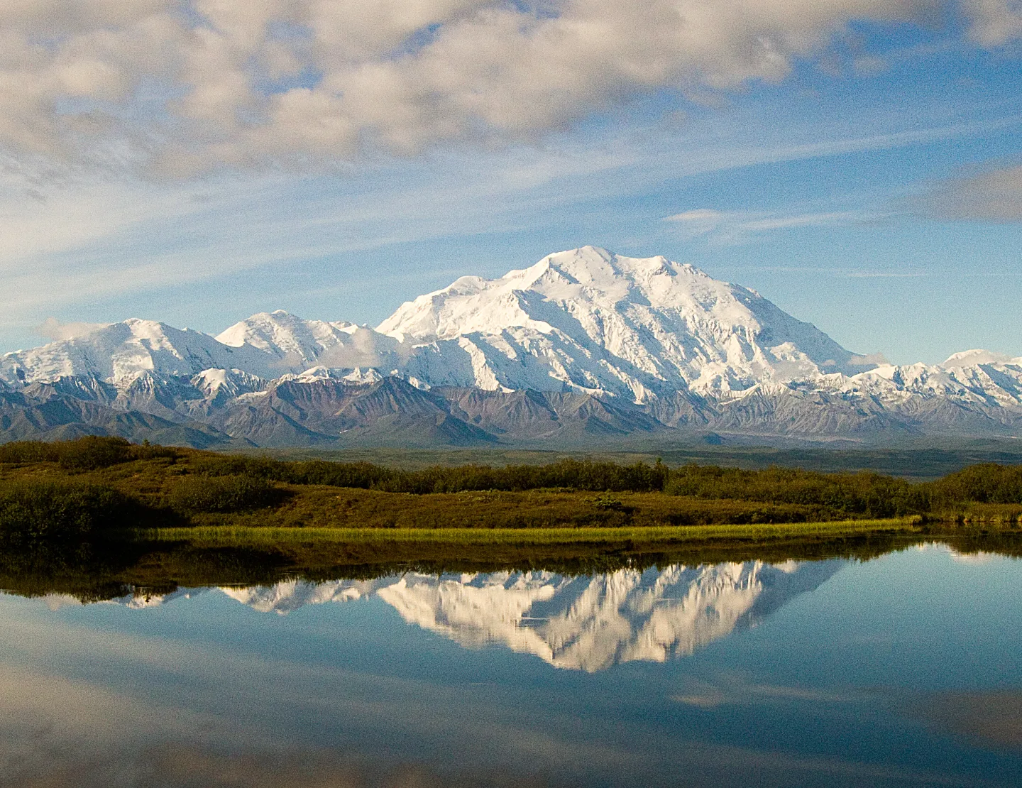
At 20,310 ft, Denali is the highest peak in North America — and its base-to-summit rise of roughly 18,000 ft is a mile more than Everest's, according to the National Park Service. The Koyukon Athabascan named it 'the high one.' One ~92-mile road threads ~6 million acres of subarctic wilderness, home to the 'Big Five': grizzlies, wolves, moose, caribou, and Dall sheep.
 AlaskaNPS · Public domain ↗
Gates of the Arctic
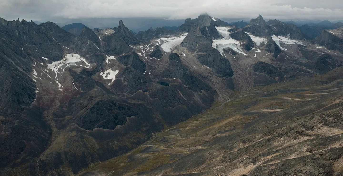
The second-largest U.S. national park (~7.5 million acres) lies entirely north of the Arctic Circle in the Brooks Range — with no roads, trails, campgrounds, or facilities of any kind. It is also the least-visited national park, drawing only ~11,000–12,000 people a year. Wilderness advocate Bob Marshall named two flanking peaks the 'Gates of the Arctic'; access is by bush plane only.
 Wikimedia Commons · Eric E Castro from San Francisco · CC BY 2.0 ↗
Glacier Bay
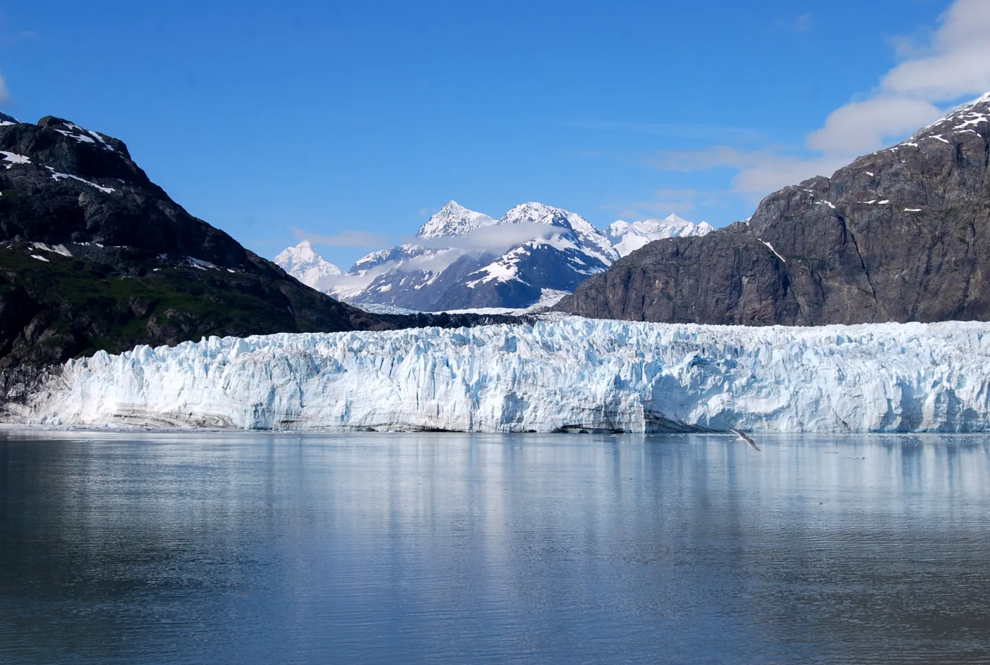
When Captain George Vancouver sailed past in 1794, Glacier Bay was almost entirely filled with ice. The glaciers have since retreated roughly 65 miles — one of the fastest documented retreats anywhere — turning the bay into a living laboratory of primary succession, where bare rock becomes forest over ~200 years. Most of its ~700,000 yearly visitors arrive by cruise ship and never set foot ashore.
 Wikimedia Commons · NPS/Michael Fitz · Public domain ↗
Katmai
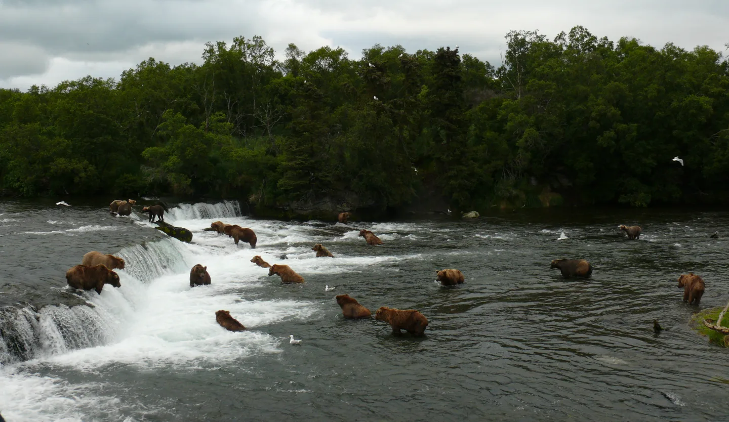
At Brooks Falls, brown bears line up to catch leaping sockeye salmon — the stars of the internet phenomenon 'Fat Bear Week.' The park holds about 2,200 brown bears. It also protects the Valley of Ten Thousand Smokes, an ash plain from the 1912 Novarupta eruption — the largest volcanic eruption of the 20th century, which ejected roughly 30 times the volume of Mount St. Helens.
 OKJaguar · CC BY 4.0 ↗
Kenai Fjords
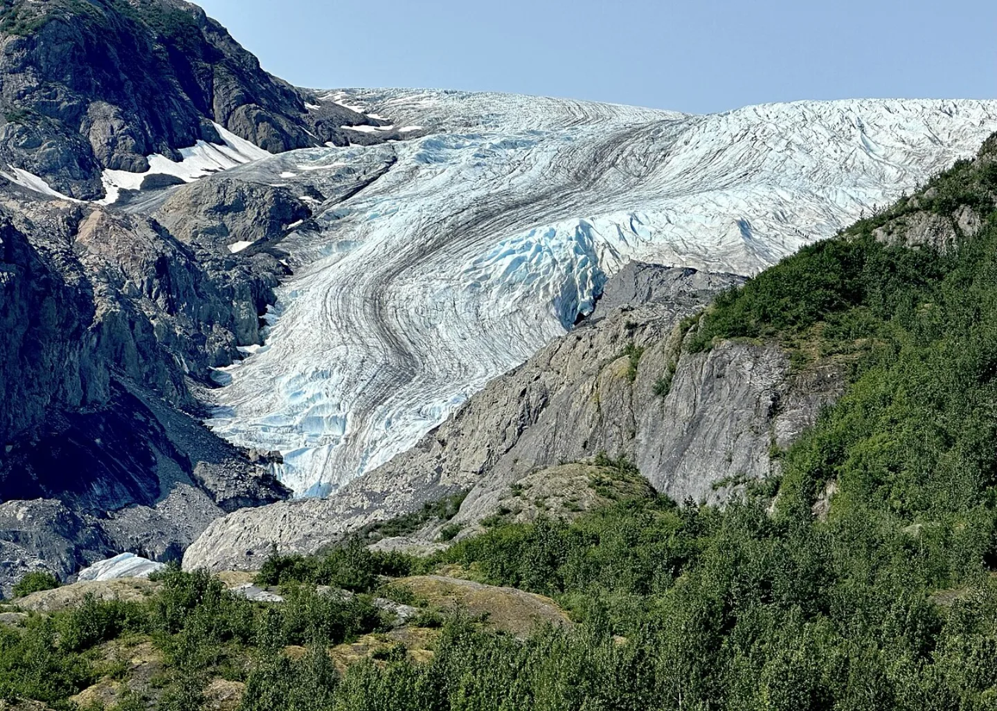
The Harding Icefield — a ~700-square-mile remnant of the last Ice Age — feeds about 40 glaciers that spill toward a coast carved into deep fjords. The land is slowly sinking, drowning glacial valleys to form those fjords. Along the Exit Glacier road, roadside signs mark where the ice stood in past years, a stark and walkable record of glacial retreat within living memory.
 Wikimedia Commons · Dev Dharm Khalsa / NPS · Public domain ↗
Lake Clark
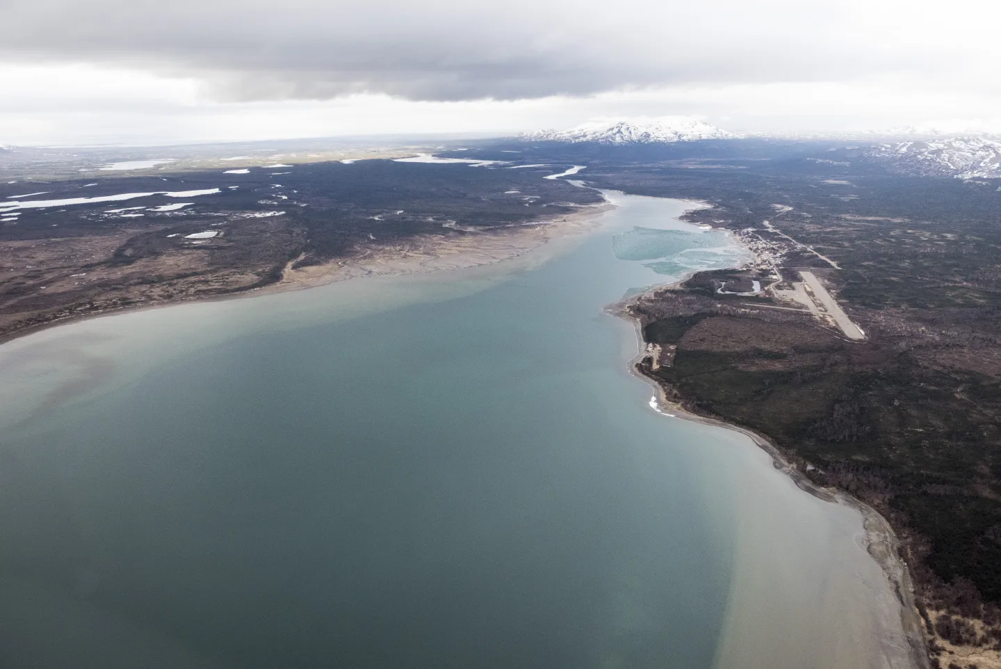
A compact sampler of Alaska: two active volcanoes (Redoubt and Iliamna), the turquoise Lake Clark, salmon runs, and brown bears. It also guards the headwaters of the Bristol Bay sockeye fishery — the largest wild sockeye run on Earth. At Upper Twin Lake stands the hand-built cabin of Dick Proenneke, who lived alone there for about 30 years and filmed 'Alone in the Wilderness.'
 Wrangell-St. Elias National Park & Preserve · CC BY-SA 2.0 ↗
Wrangell–St. Elias
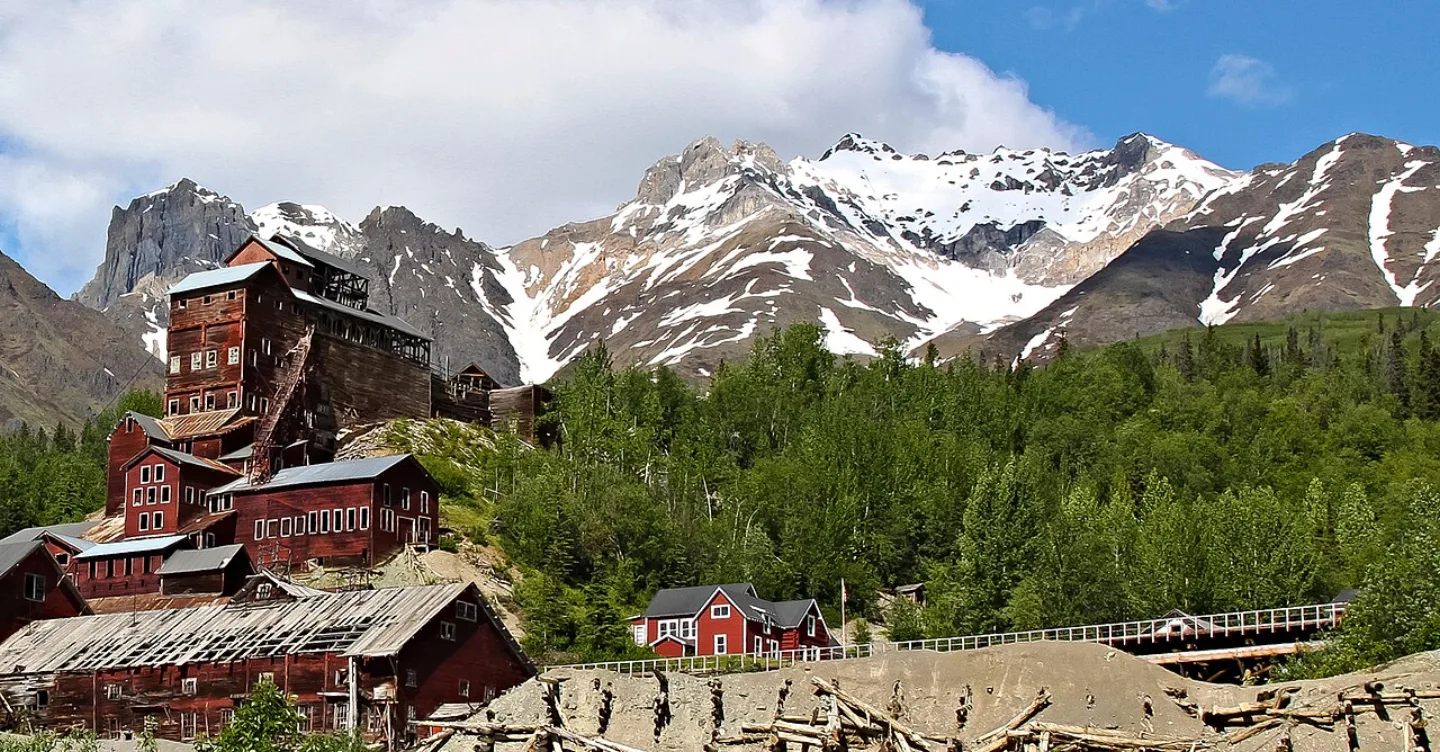
The largest U.S. national park at ~13.2 million acres — bigger than Switzerland, and so vast that Yellowstone would fit inside it about six times. Four major mountain ranges converge here, holding nine of the 16 highest peaks in the U.S., including Mount St. Elias (18,008 ft), the nation's second-highest. The Malaspina Glacier is larger than Rhode Island, and the Kennecott copper mines survive as a ghost town.
1 / 9Which park has the only working sled-dog kennel in the National Park Service and a single ~92-mile road to its interior?
Denali runs the Park Service's only working sled-dog kennel, reached by one ~92-mile road where private vehicles are limited and most visitors ride park buses.
Lesson 12 has 61 cards. Keep going in the free app.
Question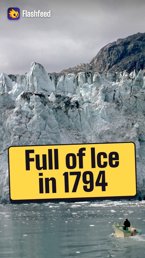
65 Miles of Retreat 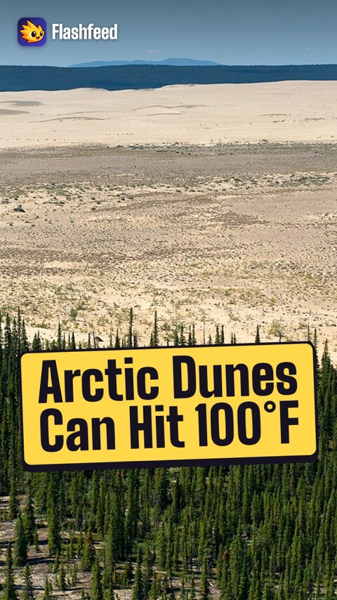
Arctic Dunes 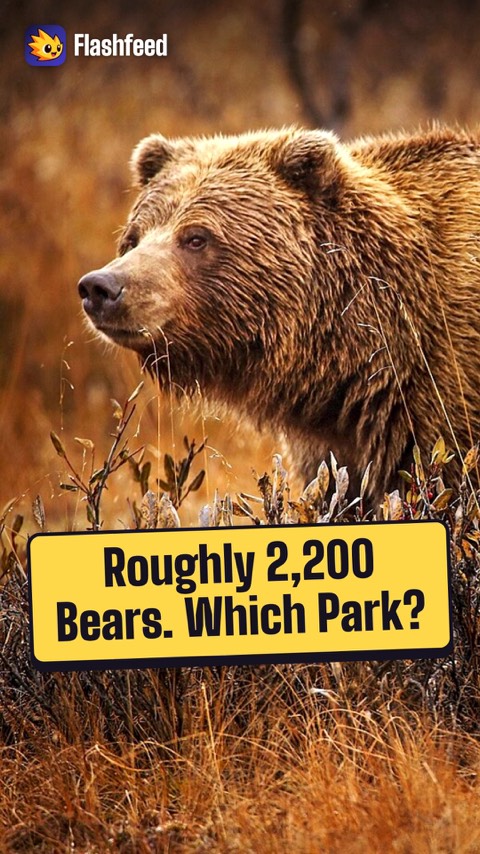
2,200 Brown Bears 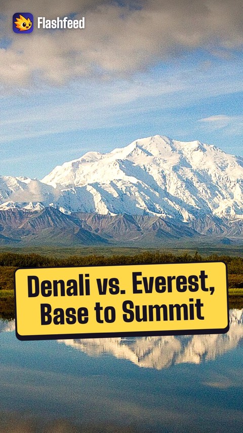
The High One All 33 clips on YouTube ↗Transcripts
65 Miles of Retreat
Picture a bay almost entirely filled with ice. That's what Captain George Vancouver saw at Glacier Bay in 1794.
Since then, the glaciers have retreated about 65 miles: one of the fastest documented retreats anywhere.
The exposed land is a living laboratory. Bare rock progresses to forest over roughly 200 years.
Across the bay, you can see it like a time-lapse.
Arctic Dunes
Above the Arctic Circle in northwest Alaska sits one of the park system's strangest sights: the Great Kobuk Sand Dunes.
They cover about 25 square miles, with dunes up to 100 feet tall.
In summer, the surface can reach 100 degrees Fahrenheit.
They're Ice Age sand, ground by glaciers and shaped by wind.
And half a million caribou of the Western Arctic Herd migrate through the region.
2,200 Brown Bears
Which Alaskan park is it? Three clues, broad to specific. Picture the place, then name the park.
Clue one: a park on the Alaska Peninsula, protecting roughly 2,200 brown bears.
Clue two: its waterfall viewing platforms inspired Fat Bear Week.
Clue three: it holds the Valley of Ten Thousand Smokes, born of the 1912 Novarupta eruption.
It's Katmai.
The High One
Denali rises to 20,310 feet: the highest peak in North America. Its base-to-summit rise is about 18,000 feet: a mile more than Everest's, says the National Park Service.
Mount St. Elias reaches 18,008 feet, the second-highest peak in the United States.
Mount Fairweather crowns Glacier Bay at 15,300 feet.
And the name Denali comes from Koyukon Athabascan. It means “the high one.”
-
 Aviator31 · Public domain ↗13
Lesson 13: East, Midwest & Territories
Appalachian Heart: Mountains, Gorge & Cave · Great Lakes & Heartland · Southern Waters & Tropics · Which Eastern Park Is It? · By the Numbers
Lesson 13 · 10 cardsAviator31 · Public domain ↗Great Smoky Mountains
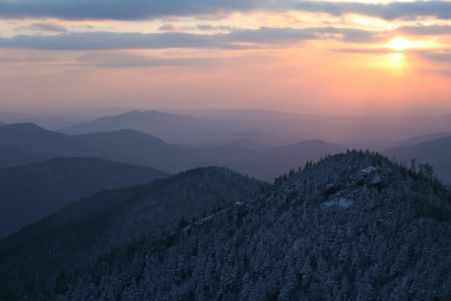
Straddling the TN/NC border on some of Earth's oldest mountains (~480–300 million years), the Smokies are the most biodiverse U.S. national park — over 19,000 documented species and the self-proclaimed "Salamander Capital of the World." The natural blue haze gives the range its name. With 12.19 million visits in 2024, it is by far the most-visited national park — more than the next two combined.
 John Manard · CC BY-SA 2.0 ↗
Acadia
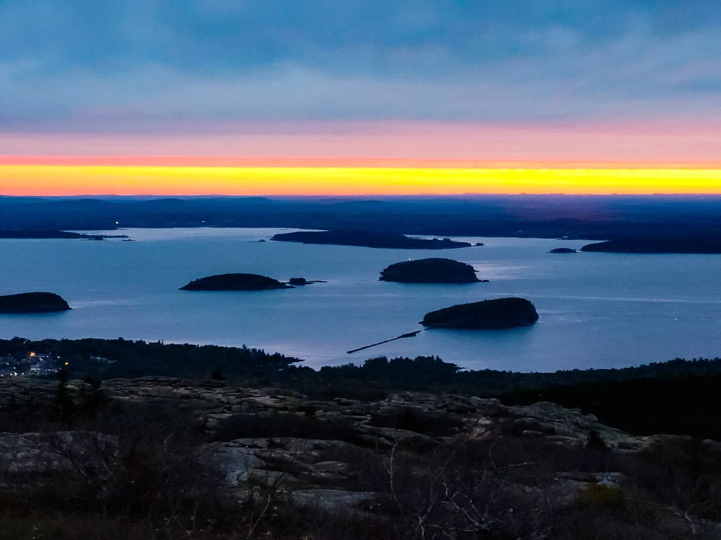
On Maine's Mount Desert Island, Acadia was the first national park east of the Mississippi (as Lafayette National Park, 1919) and the first created from donated private land. Cadillac Mountain (1,530 ft) is the highest point on the eastern seaboard of the U.S. and, from early October to early March, the first place in the country to see the sunrise. John D. Rockefeller Jr. funded 45 miles of carriage roads that still wind through the spruce-fir forest.
 MPSharwood · CC BY-SA 4.0 ↗
Shenandoah
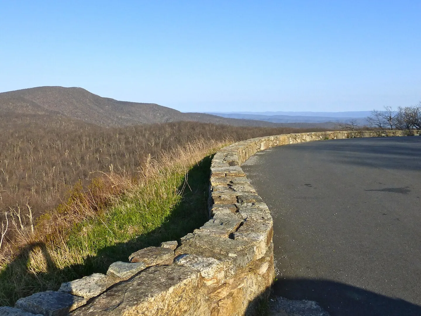
Strung along Virginia's Blue Ridge, Shenandoah is defined by Skyline Drive — 105 miles and 75 overlooks running the very crest of the mountains. The Appalachian Trail threads about 101 miles through the park. Established in 1935 from private and condemned land, it displaced roughly 500 mountain families; the CCC then built the drive, and forest has since reclaimed the old farms.
 Willis Thomas Lee · Public domain ↗
Mammoth Cave
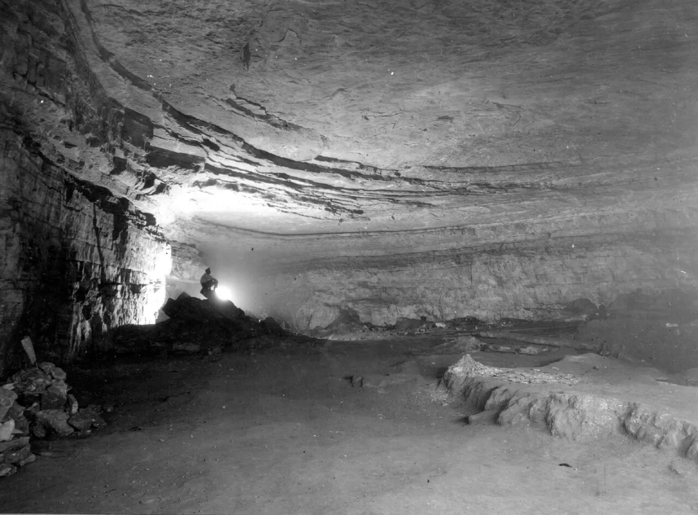
Beneath the Kentucky hills lies the longest known cave system on Earth — over 426 miles mapped, more than twice the next-longest, with new passages still being connected. Acidic water dissolved limestone capped by protective sandstone to carve this karst labyrinth. Ancestral peoples explored it ~5,000 years ago; in the 1840s–50s, an enslaved guide named Stephen Bishop mapped much of it and crossed the "Bottomless Pit."
 Erik Drost · CC BY 2.0 ↗
Cuyahoga Valley
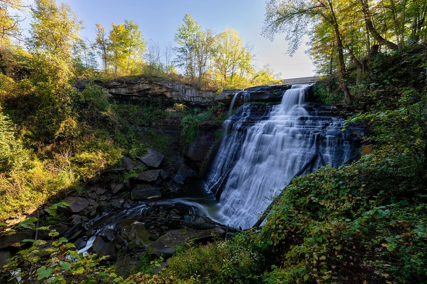
Tucked between Cleveland and Akron, Cuyahoga Valley wraps the river that infamously caught fire in 1969 — a blaze that helped spark the Clean Water Act and the modern environmental movement. Today the restored valley draws ~2.9 million visitors a year to Brandywine Falls, the Ohio & Erie Canal Towpath Trail, and a scenic railroad. "Cuyahoga" is an Iroquoian word meaning "crooked river."
 Library of Congress · Scene at Indiana Dunes State Park, encompassing 2,182 acres · No known restrictions (verify at source) ↗
Indiana Dunes
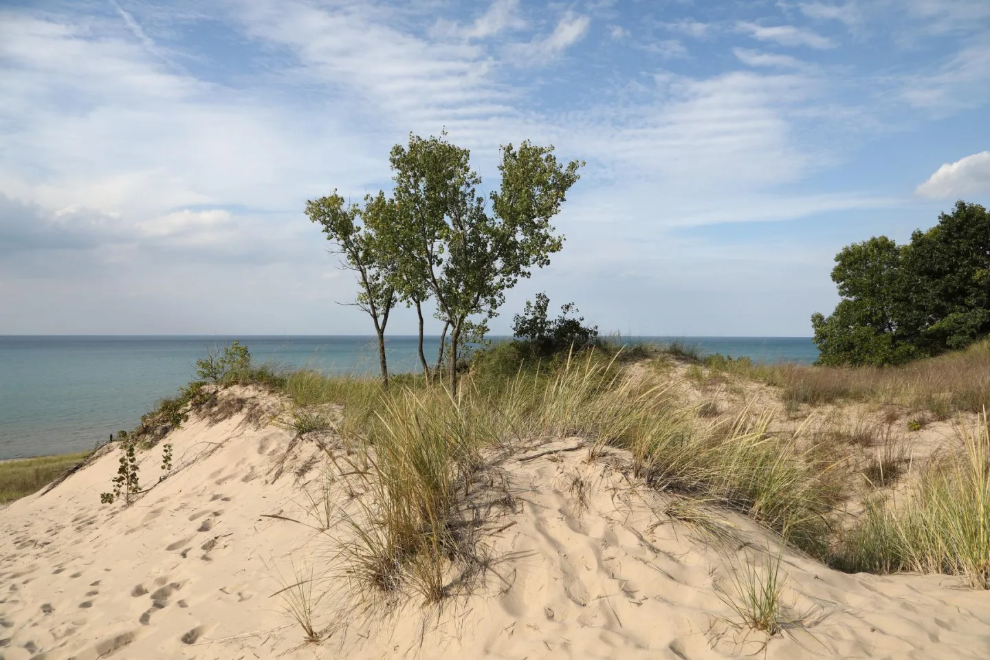
Along 15 miles of Lake Michigan shoreline, Indiana Dunes (a national park since 2019) packs beach, dune, oak savanna, bog, and prairie into one of the most botanically diverse parks per acre — over 1,100 native plant species amid working steel mills. Botanist Henry Cowles studied these dunes around 1899, helping found the science of plant ecology and the concept of succession.
 NPS staff · Public domain ↗
Isle Royale
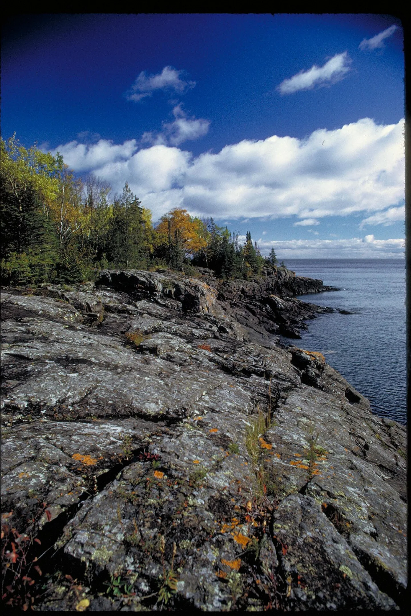
A remote wilderness island in Lake Superior, reachable only by boat or seaplane and closed entirely each winter, Isle Royale is one of the least-visited parks — yet visitors stay longer than anywhere else. It hosts the world's longest-running predator-prey study, tracking wolves and moose since 1958. When wolves crashed to just two animals by 2018, the NPS relocated new wolves to restore the balance.
 Pexels · Travel with Lenses · Pexels License ↗
Voyageurs
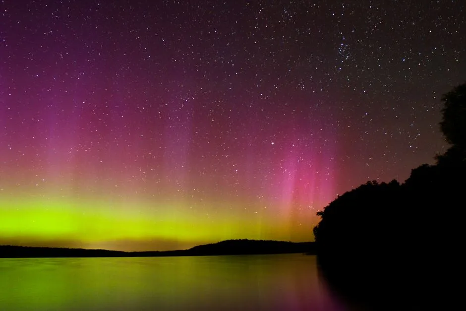
On Minnesota's Canadian border, Voyageurs is a park of interconnected lakes — Rainy, Kabetogama, Namakan, Sand Point — navigated by boat, with no roads into the interior. It is named for the French-Canadian fur-trade canoemen who once paddled these waters. Underfoot lies some of the oldest exposed rock in North America (~2.7 billion years), and overhead, as a certified Dark Sky Park, it offers superb northern lights.
 [flickr.com B0iwehijro2i0- ] `1l]] from Davis, · CC BY 2.0 ↗
Gateway Arch
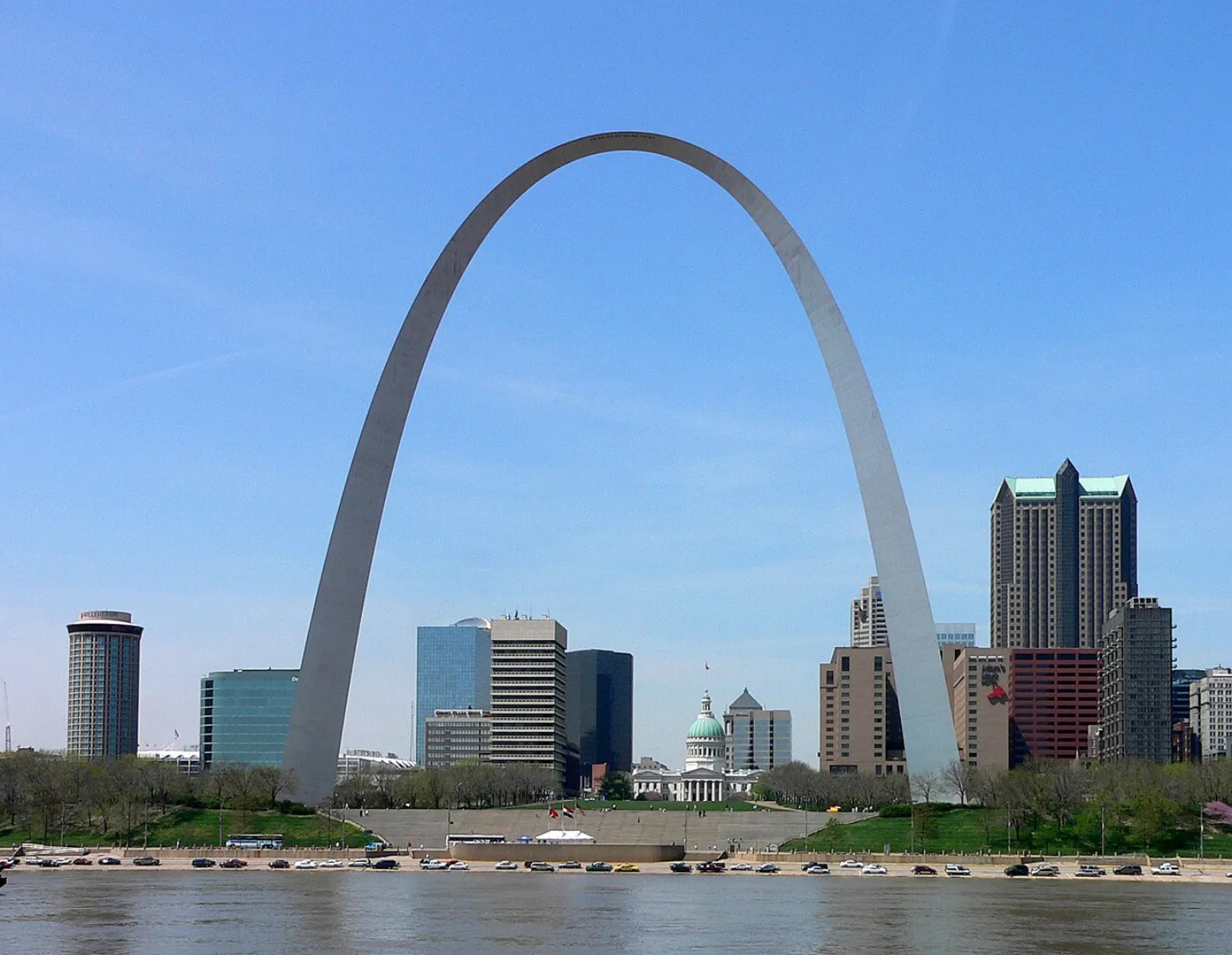
In downtown St. Louis stands Eero Saarinen's 630-ft stainless-steel Gateway Arch (1965), the tallest arch and tallest monument in the U.S., commemorating westward expansion. A tram climbs inside to the top. Redesignated a national park in 2018, its ~193 acres within the park boundary make it the smallest and most urban national park — and the only one honoring a historical event rather than a natural landscape.
 Library of Congress · Scene along "Bathhouse Row" in Hot Springs, a city in centra · No known restrictions (verify at source) ↗
Hot Springs
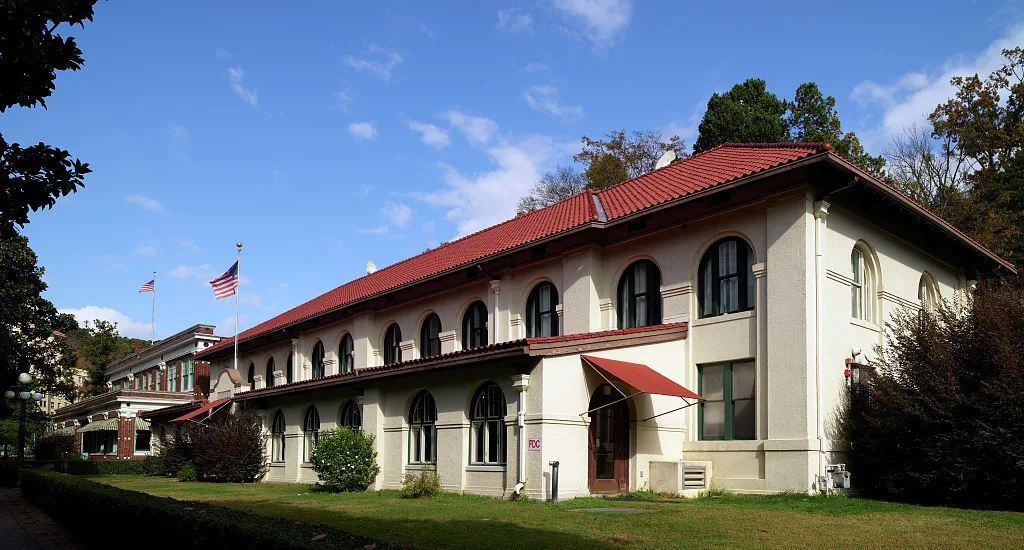
Hot Springs is the oldest area in the National Park System — federally protected in 1832, 40 years before Yellowstone. Its 47 thermal springs flow about a million gallons a day at ~143°F; the rain that emerges today fell roughly 4,400 years ago. Embedded in a working town, its historic Bathhouse Row earned it the nickname "the American Spa," and you can still fill jugs with free, drinkable hot spring water at public fountains.
1 / 10Called the 'Salamander Capital of the World,' this is the most biodiverse U.S. national park. Which is it?
Great Smoky Mountains, with over 19,000 documented species, is the most biodiverse U.S. national park and the self-proclaimed 'Salamander Capital of the World.'
Lesson 13 has 76 cards. Keep going in the free app.
Question
Salamander Capital 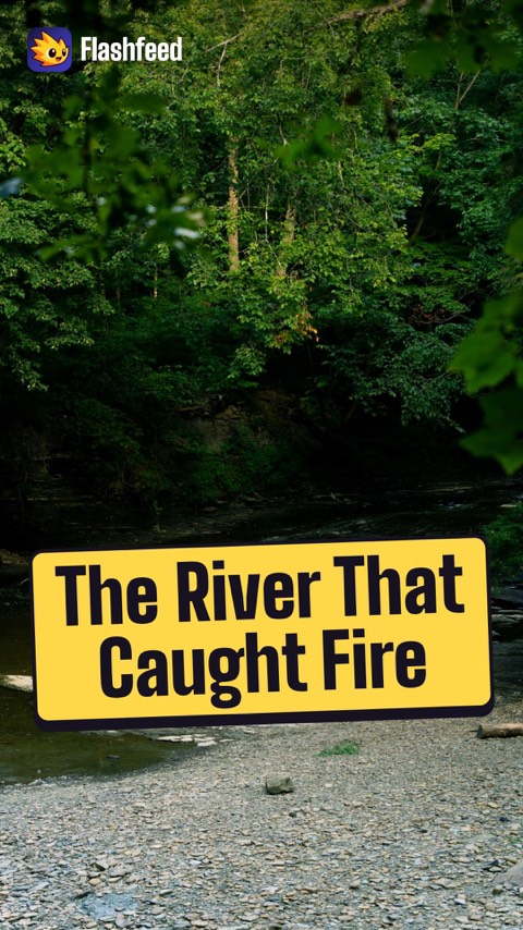
The River That Burned 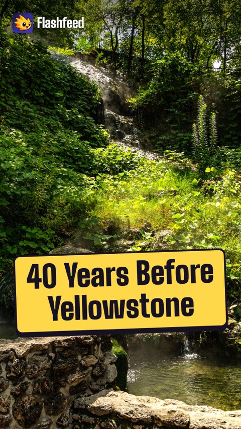
Older Than Yellowstone 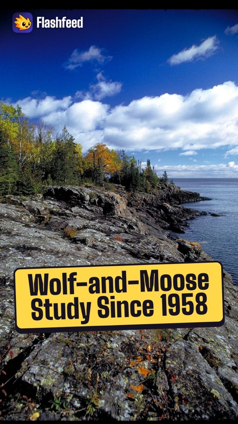
Wolves and Moose 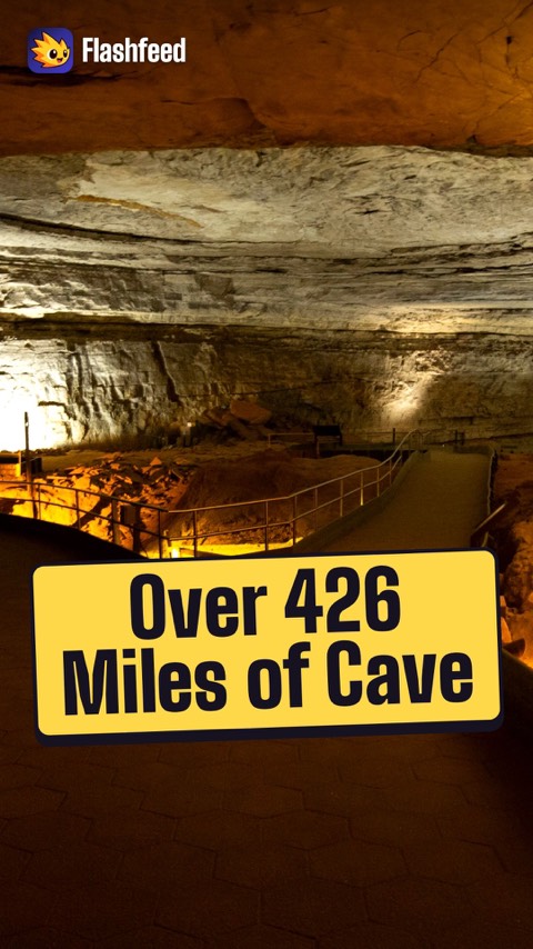
426 Miles All 33 clips on YouTube ↗Transcripts
Salamander Capital
The Salamander Capital of the World is a national park: Great Smoky Mountains.
It's the most biodiverse park in the system, with over 19,000 documented species. Around 1,900 black bears roam here.
Its mountains are among the oldest on the planet, the eroded stubs of a Himalayan-scale range.
And the famous blue smoke is natural haze, not pollution.
The River That Burned
The Cuyahoga River caught fire in 1969. It was one of several blazes from industrial pollution.
Those fires helped galvanize the Clean Water Act and the modern environmental movement.
In 2000, the valley became a national park, between Cleveland and Akron. Today it draws about 2.9 million visitors a year.
Cuyahoga means crooked river.
Older Than Yellowstone
One park was protected 40 years before Yellowstone: Hot Springs, Arkansas, in 1832. It's the oldest area in the National Park System.
Its 47 springs flow about a million gallons a day, at roughly 143°F.
Rainwater seeps deep, is heated, and rises along faults.
The water emerging today fell as rain an estimated 4,000 to 4,400 years ago.
Wolves and Moose
Which eastern park is it? 3 clues, broad to specific.
Clue 1: a wilderness island in a cold northern lake. It closes every winter.
Clue 2: it's among the least-visited parks, yet its visitors stay the longest.
Clue 3: a wolf-and-moose study has run here since 1958.
The lake is Superior, and the park is Isle Royale.
426 Miles
Over 426 miles of mapped passage. That's Mammoth Cave, the longest known cave system on Earth, more than twice the next-longest.
Clingmans Dome reaches 6,643 feet, the highest point on the entire Appalachian Trail.
The Everglades sprawl across about 1.5 million acres.
That's the largest tropical wilderness in the U.S.
-
 Carsten Steger · CC BY-SA 4.0 ↗14
Spotlight: Yellowstone
Geysers Springs and the Supervolcano · America's Serengeti · Visiting Yellowstone
Lesson 14 · 10 cardsCarsten Steger · CC BY-SA 4.0 ↗Yellowstone
Established March 1, 1872, Yellowstone was the world's first national park, signed into being by President Ulysses S. Grant. Sprawling across Wyoming, Montana, and Idaho, its ~2.22 million acres make it the 8th-largest U.S. park and the largest in the Lower 48 after Death Valley. Beneath it sleeps a supervolcano that feeds about half of Earth's active geysers.
 InSapphoWeTrust from Los Angeles, California, USA · CC BY-SA 2.0 ↗
The Yellowstone Supervolcano
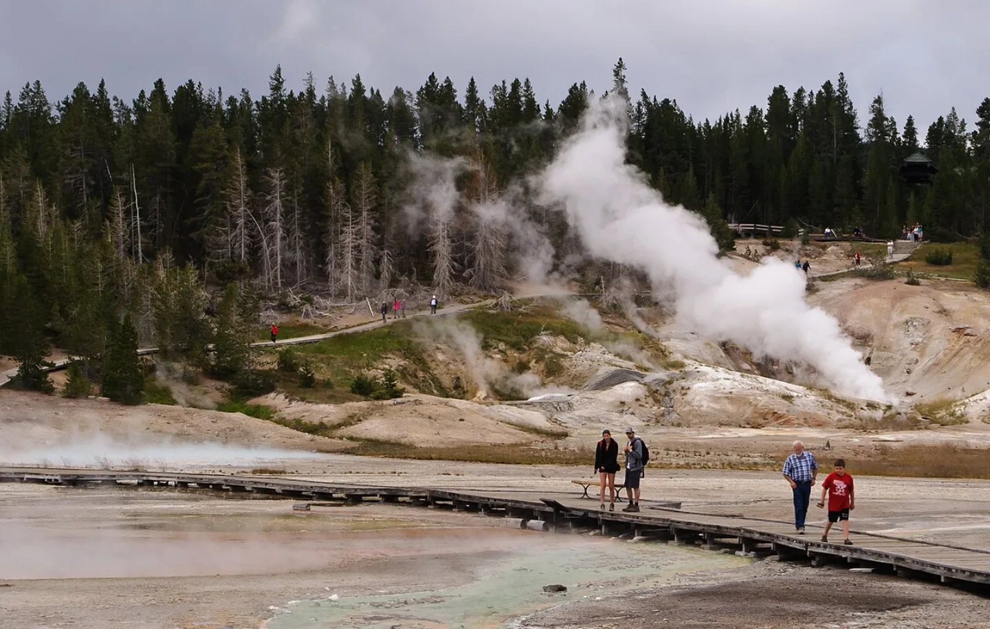
Yellowstone sits inside a caldera — a collapsed crater — left by a colossal eruption about 640,000 years ago. The Yellowstone hotspot, a plume of heat rising through the crust, still powers the park's roughly 10,000 hydrothermal features and ~500 geysers, the greatest concentration on Earth. That underground furnace is what makes every geyser, mudpot, and steaming spring possible.
 Wikimedia Commons · Dietmar Rabich · CC BY-SA 4.0 ↗
Old Faithful
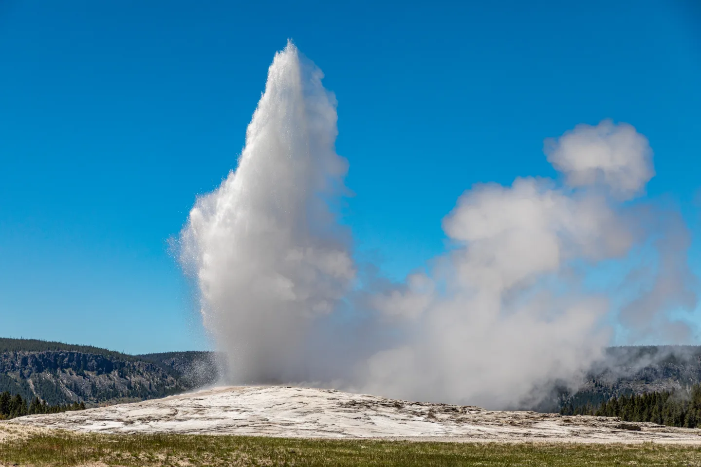
The park's most famous geyser earned its name for reliability, not size: Old Faithful erupts roughly every 60–90 minutes, jetting boiling water 106–185 feet into the air. Rangers can predict its next show within about ten minutes, drawing crowds to the boardwalks of the Upper Geyser Basin — the densest cluster of geysers anywhere on Earth.
 Pexels · Captivating geyser eruption with steam at Yellowstone National Park, perfect for travel and nature themes. ↗
Half of Earth's Geysers
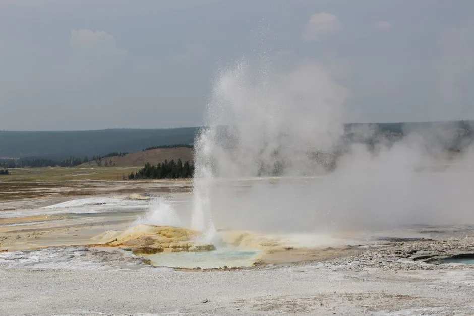
Yellowstone has about 500 geysers, roughly half of all the active geysers on Earth. That count is different from its roughly 10,000 total hydrothermal features, which also includes hot springs and mudpots.
 Pexels · Vibrant colors of Grand Prismatic Spring with tourists at Yellowstone National Park. ↗
Colored by Microbes
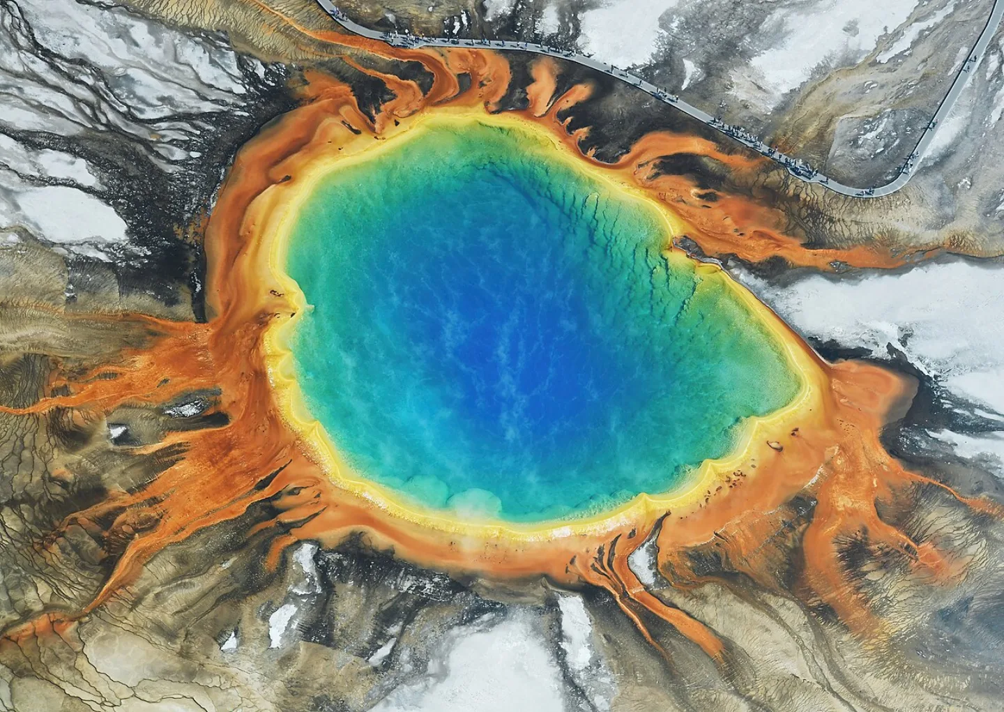
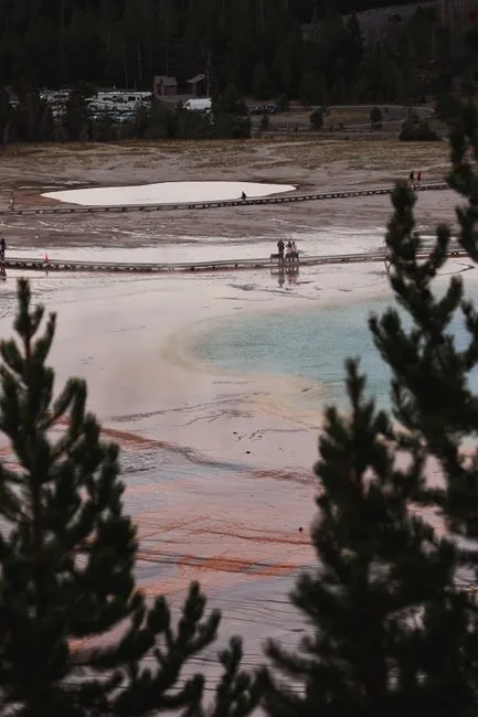
Grand Prismatic Spring, about 370 feet across, is the largest hot spring in the United States. Its rainbow rings of color come from heat-loving microbes living in the water, not the water itself.
 Wikimedia Commons · Diane Renkin for Yellowstone National Park from Yellowstone NP, USA · Public domain ↗
Americas Serengeti
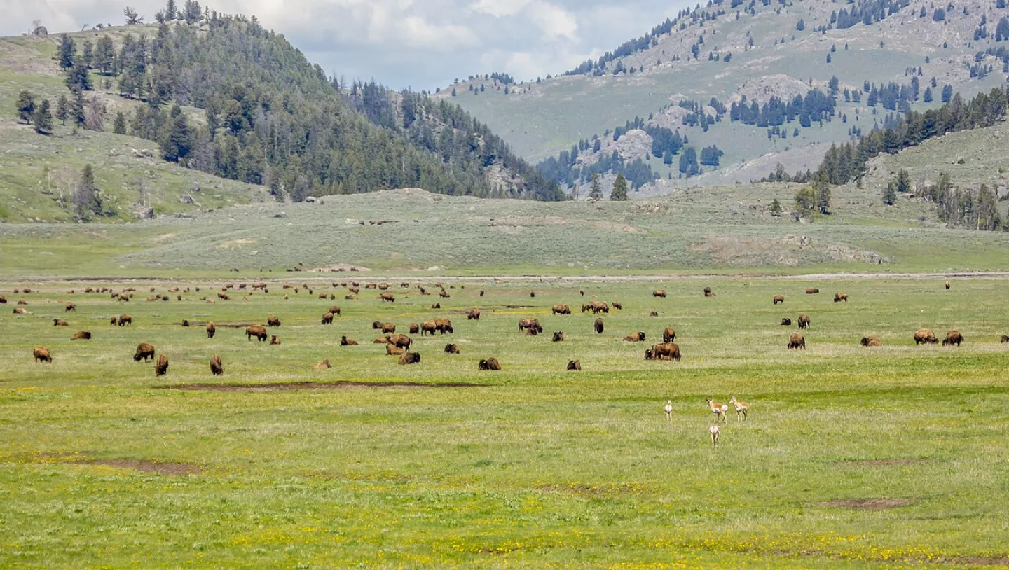
The broad grasslands of Lamar and Hayden valleys host such dense, visible wildlife that Yellowstone is often called "America's Serengeti." Here roams the largest wild bison herd in the United States — about 4,000–6,000 animals — alongside elk, pronghorn, bighorn sheep, and the predators that hunt them. At dawn and dusk, the valleys come alive with one of the continent's last great wildlife spectacles.
 USFWS Headquarters (Openverse) · pdm 1.0 ↗
The Wolves Return
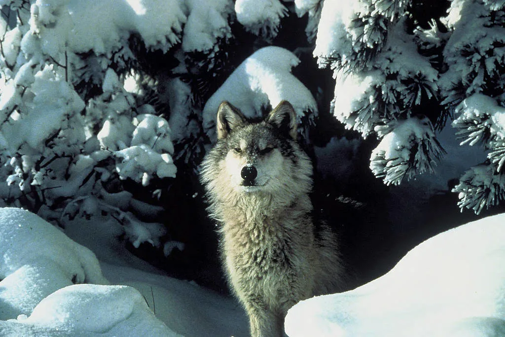
Wolves were exterminated from Yellowstone by the 1920s. In 1995, biologists reintroduced them — and the whole ecosystem shifted. With wolves hunting again, elk stopped lingering in river valleys, willows and aspens regrew, beavers and songbirds returned, and even riverbanks stabilized. This chain reaction, called a trophic cascade, became the most famous case study in modern conservation.
 Pexels · Scenic view of a herd of American bison grazing in a lush green pasture, surrounded by trees and hills. ↗
The Last Wild Herd
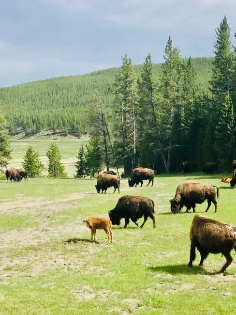
Yellowstone's bison herd numbers roughly 4,000 to 6,000 animals, the largest wild herd in the United States and the country's last continuously wild population.
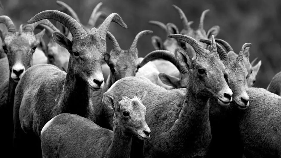 Pexels · Close-up image of a bighorn sheep herd captured in black and white, emphasizing texture. ↗
The Sheep Eaters
The Tukudika, or Sheep Eaters, a band of Shoshone, were unusual among Yellowstone's associated tribes for living in the high country year-round, hunting bighorn sheep and crafting bows from their horns.
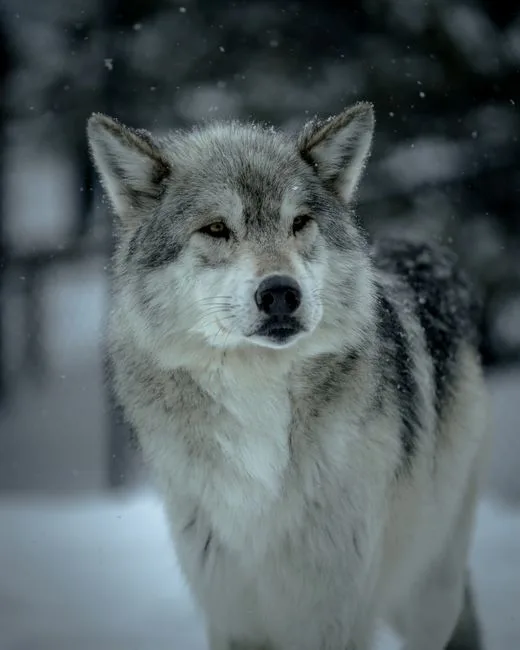 Pexels · Gray wolf standing in the snowy landscape of West Yellowstone, Montana. ↗
The Trophic Cascade
Yellowstone's wolves, exterminated by the 1920s, were reintroduced to the park in 1995 — the event that triggered the famous trophic cascade reshaping the ecosystem.
1 / 10Roughly how long ago did the eruption that formed the Yellowstone Caldera occur?
The caldera formed about 640,000 years ago when a supervolcano erupted and the ground collapsed into the emptied magma chamber. 2.2 million is the park's acreage, not its age.
Lesson 14 has 72 cards. Keep going in the free app.
Question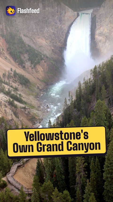
The Other Grand Canyon 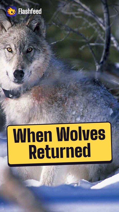
The Wolves Return 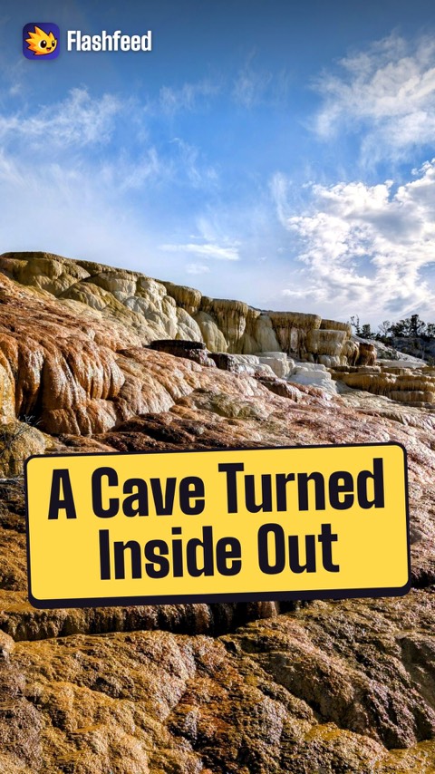
A Cave Turned Inside Out All 33 clips on YouTube ↗Transcripts
The Other Grand Canyon
Yellowstone has its own Grand Canyon. The Yellowstone River carved a gorge about 1,000 feet deep.
The walls are soft, sulfur-yellow rhyolite, the rock that gives the park its name.
Its Lower Falls drops 308 feet, nearly twice the height of Niagara.
In the same park, Steamboat Geyser can blast water past 300 feet. It's the world's tallest active geyser.
The Wolves Return
Wolves were hunted out of Yellowstone by the 1920s. Without them, elk overgrazed the river valleys.
In 1995, biologists reintroduced wolves. Elk no longer lingered along the streams.
Willows and aspens regrew. Beavers returned, then songbirds and fish. Stabilized banks even changed how some rivers flowed.
Scientists call this chain reaction a trophic cascade.
A Cave Turned Inside Out
Mammoth Hot Springs looks like a frozen waterfall, or a cave turned inside out.
Hot water rich in dissolved limestone rises to the surface. As it cools, it deposits travertine, a soft, pale stone.
Tier upon tier, the stone builds terraces.
The plumbing constantly shifts underground. Terraces flood, grow and dry out from year to year, so the formation is never quite the same twice.
-
 Mgimelfarb · CC0 ↗15
Spotlight: Grand Canyon
A Mile Deep and Billions of Years Old · Rims, River & People · Visiting the Grand Canyon
Lesson 15 · 10 cardsMgimelfarb · CC0 ↗The Grand Canyon
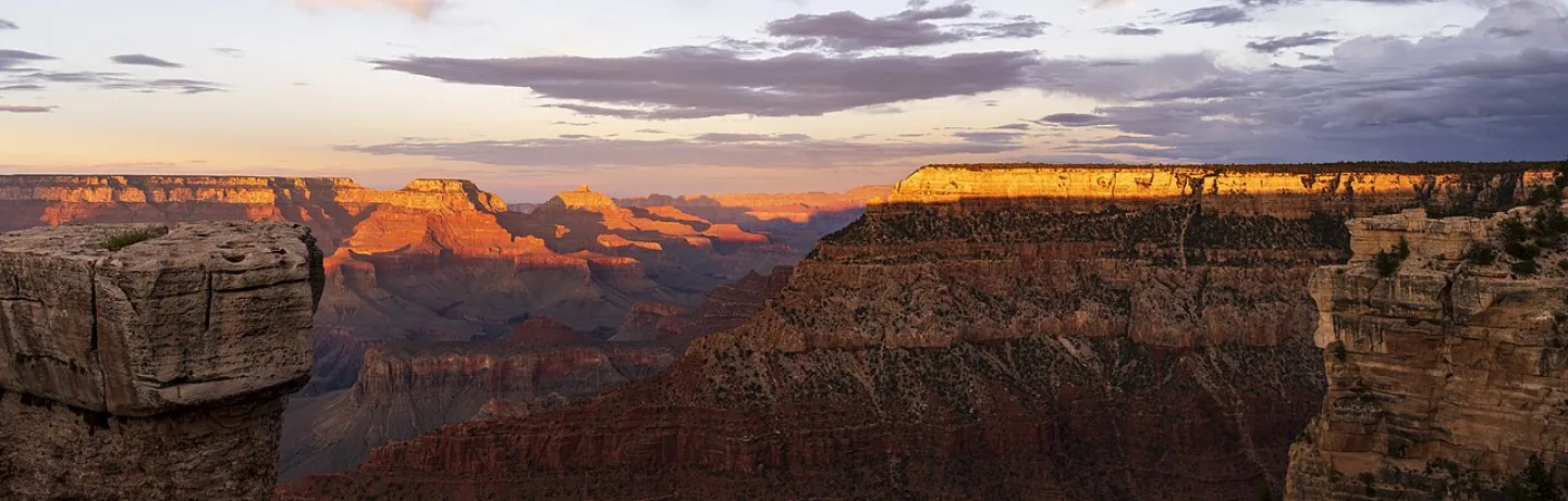
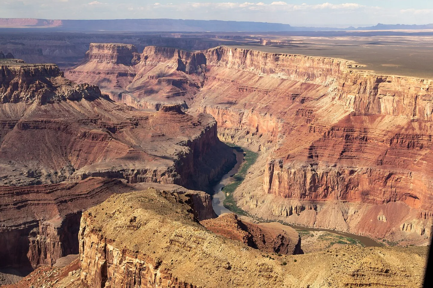
Carved by the Colorado River across some 277 river miles, the Grand Canyon runs up to 18 miles rim to rim and plunges over a mile — about 6,000 feet — to the water. Its banded walls expose nearly 2 billion years of Earth's history, more than almost anywhere on the planet. Theodore Roosevelt protected it as a monument in 1908; it became a national park in 1919.
 Dietmar Rabich · CC BY-SA 4.0 ↗
How the River Carved It
The Grand Canyon is young rock cut at lightning speed in geologic terms. Over the past 5 to 6 million years, as the Colorado Plateau slowly bulged upward, the Colorado River sawed straight down through it, exposing layer after layer. The deeper you look, the older the world gets — until you reach the dark Vishnu Schist at the bottom, about 1.8 billion years old.
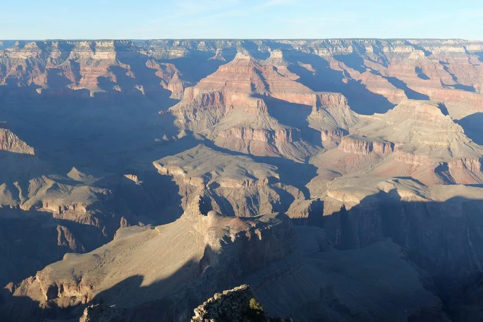 Pexels · Capture of the Grand Canyon's vast and intricate rock formations at sunrise, showcasing geological beauty. ↗
A Billion Missing Years
In the canyon's walls, the Great Unconformity marks a gap where roughly a billion years of rock record are simply missing, eroded away so that young rock rests directly on much older rock.
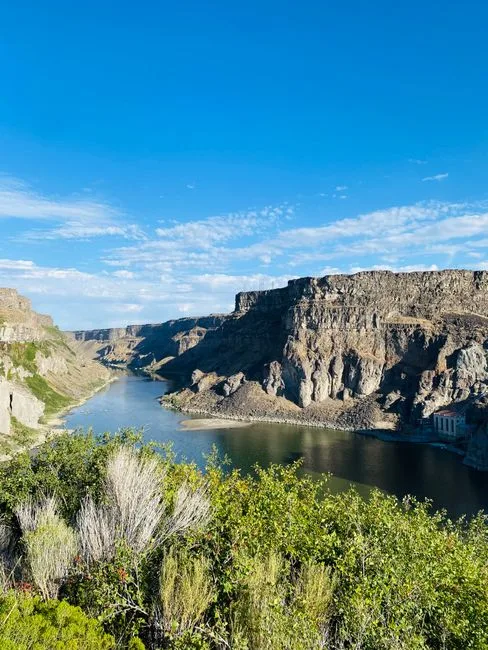 Pexels · Captivating view of Snake River canyon and rocky cliffs in Twin Falls, Idaho on a clear day. ↗
Not the Deepest
Despite its fame, the Grand Canyon is not the deepest canyon in the United States — Hells Canyon cuts deeper. What sets it apart is its breadth and the vast sweep of geologic time exposed in its walls, not raw depth.
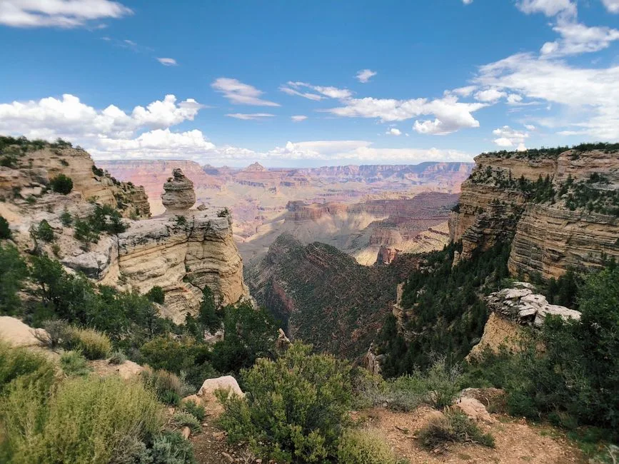 Pexels · Breathtaking landscape of Grand Canyon West under a clear blue sky. ↗
Eleven Tribes
Eleven tribes are traditionally associated with the Grand Canyon, including the Hualapai, Navajo, Hopi, Zuni, Southern Paiute, and Havasupai.
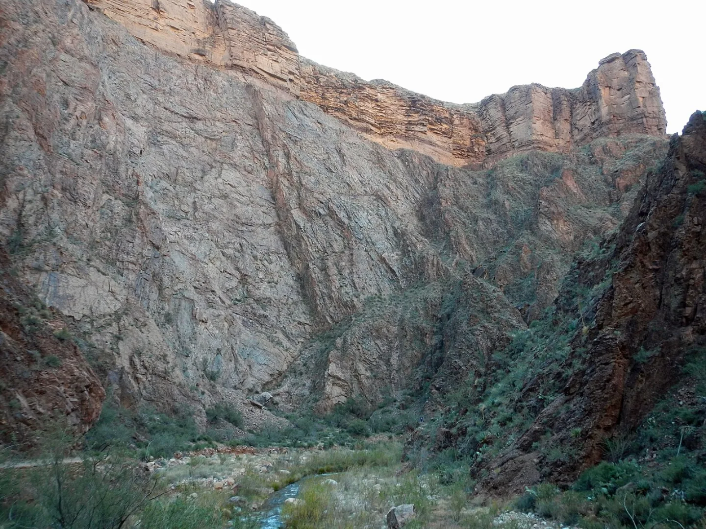 Wikimedia Commons · Fredlyfish4 · CC BY-SA 3.0 ↗
Found Nowhere Else
The tassel-eared Kaibab squirrel exists naturally in only one place on Earth: the cool, forested North Rim of the Grand Canyon, where it evolved in isolation into its own distinct form.
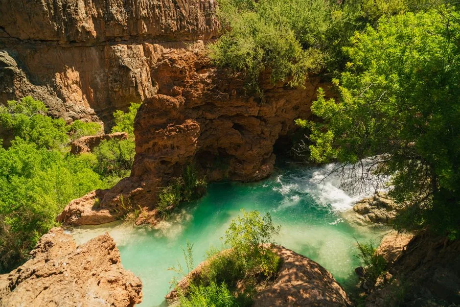 Pexels · Explore the stunning turquoise pool of Havasu Falls nestled in an Arizona canyon amid lush greenery and rugged cliffs. ↗
People of Blue-Green Water
The Havasupai, whose name means 'people of the blue-green water,' still live inside the Grand Canyon in the village of Supai, reachable only by foot, mule, or helicopter.
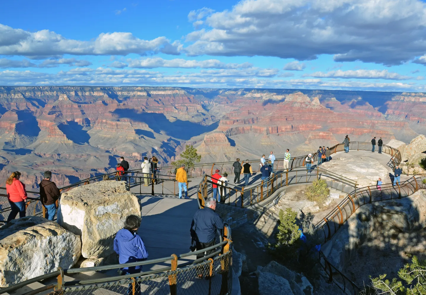 Wikimedia Commons · Grand Canyon National Park · CC BY 2.0 ↗
One of America's Most Visited Parks
Nearly 4.9 million people visited the Grand Canyon in 2024, making it the country's third-most-visited national park. About 90 percent of them go to the South Rim, where the views, lodges, and the Rim Trail are concentrated. The quieter, higher North Rim draws the rest — and is open only from mid-May to mid-October.
1 / 10How far does the Grand Canyon drop from its rim down to the Colorado River?
The canyon plunges over a mile — roughly 6,000 feet — from rim to river. That depth, combined with its breadth, is part of its scale.
Lesson 15 has 71 cards. Keep going in the free app.
Question
Not the Deepest 
Supai 
The Way Up All 33 clips on YouTube ↗Transcripts
Not the Deepest
The Grand Canyon is not the deepest canyon in the United States. Hells Canyon cuts deeper, among others. It's on the Idaho-Oregon border.
What sets it apart is its sheer breadth: about 277 river miles long, and up to 18 miles from rim to rim.
And its sweep of time. In the Great Unconformity, roughly a billion years of rock layers are simply missing.
Young rock rests directly on very old rock.
Supai
One village sits inside the Grand Canyon: Supai. It's reachable only by foot, by mule or by helicopter.
It's home to the Havasupai, the people of the blue-green water.
11 tribes are traditionally associated with the canyon. The Havasupai still live inside it.
Their turquoise waterfalls draw pilgrims from around the world. The canyon has been home to people for many centuries.
The Way Up
Never hike from the rim to the Colorado River and back in one day. It's the park's firmest warning.
Going down feels deceptively easy. It's roughly a vertical mile.
The return is a brutal, heat-soaked climb. In summer, the inner canyon often reaches 100 to 115 degrees Fahrenheit.
The way down is optional. The way up is not. Come in spring or fall instead.
-
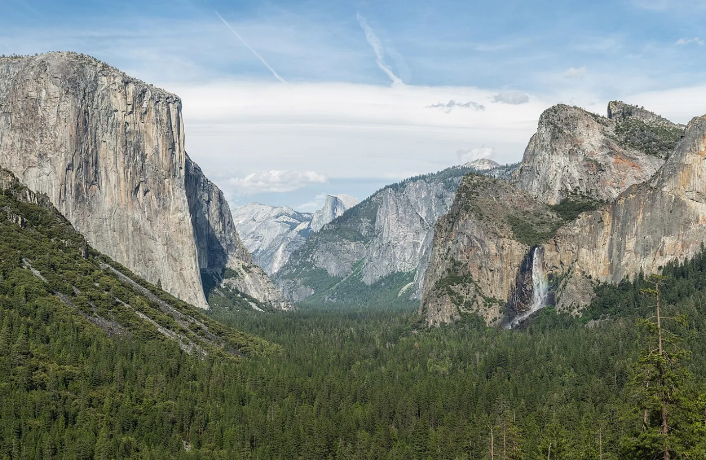 Diliff · CC BY-SA 3.0 ↗16
Spotlight: Yosemite
Granite Walls and Waterfalls · Giant Trees and a Founding Idea · Visiting Yosemite
Lesson 16 · 10 cardsDiliff · CC BY-SA 3.0 ↗Yosemite
In a single granite valley California stacked half its wonders: sheer walls, plunging waterfalls, and domes of bare stone. Glaciers ground the Merced River canyon into a U-shaped trough, leaving El Capitan and Half Dome standing over the floor. Established as a national park in 1890, Yosemite draws about 4.1 million visitors a year to ~759,600 acres of the Sierra Nevada.
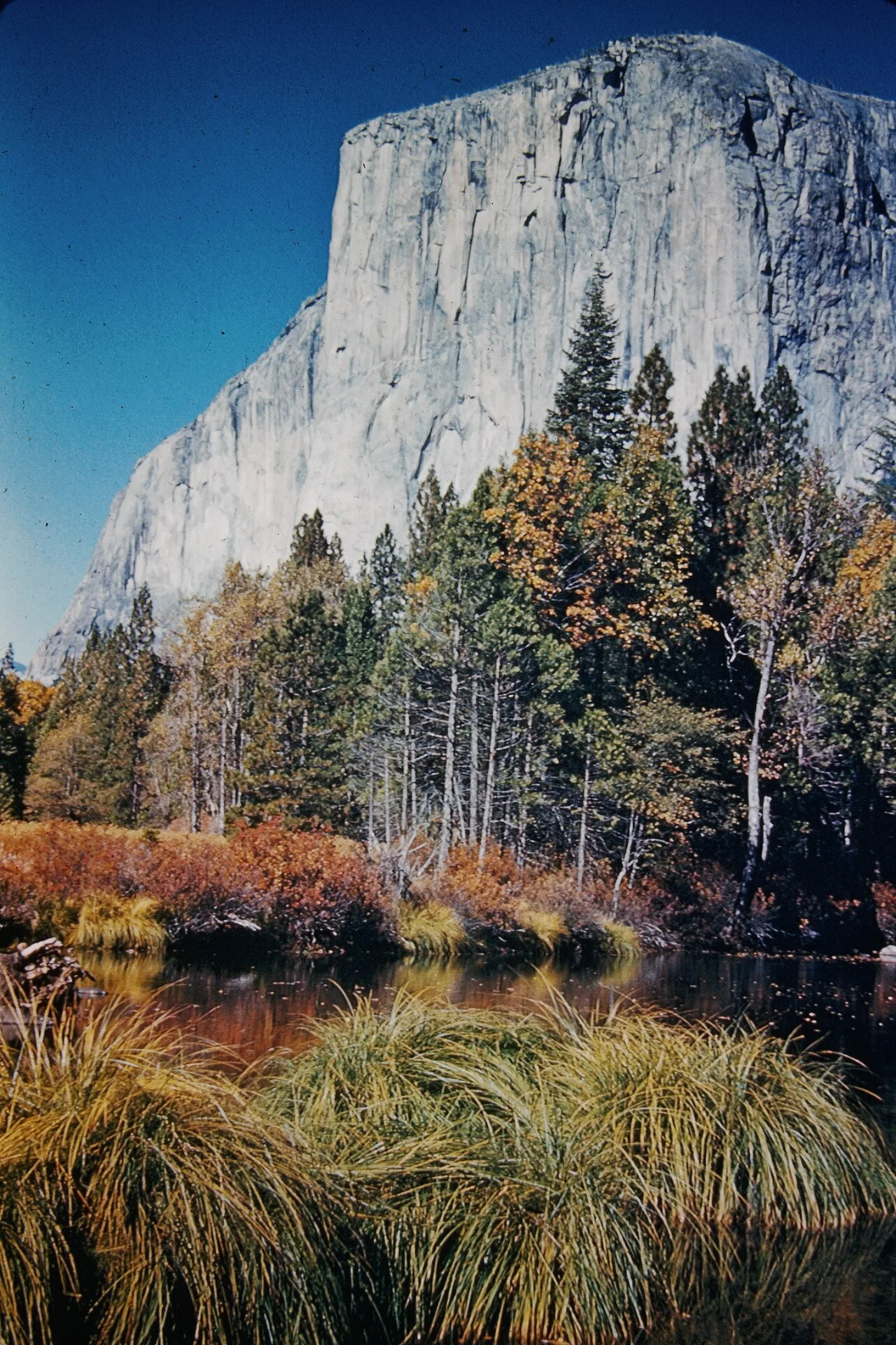 My grandfather on my dads side, who gave me permission to share images in his po · CC BY-SA 4.0 ↗
El Capitan
Rising about 3,000 feet of nearly vertical, monolithic granite straight off the valley floor, El Capitan is the climbing world's ultimate proving ground. Its smooth golden face has no easy route. In 2017 Alex Honnold free-soloed it — no rope — and in 2015 the brutally thin Dawn Wall saw its first free climb.
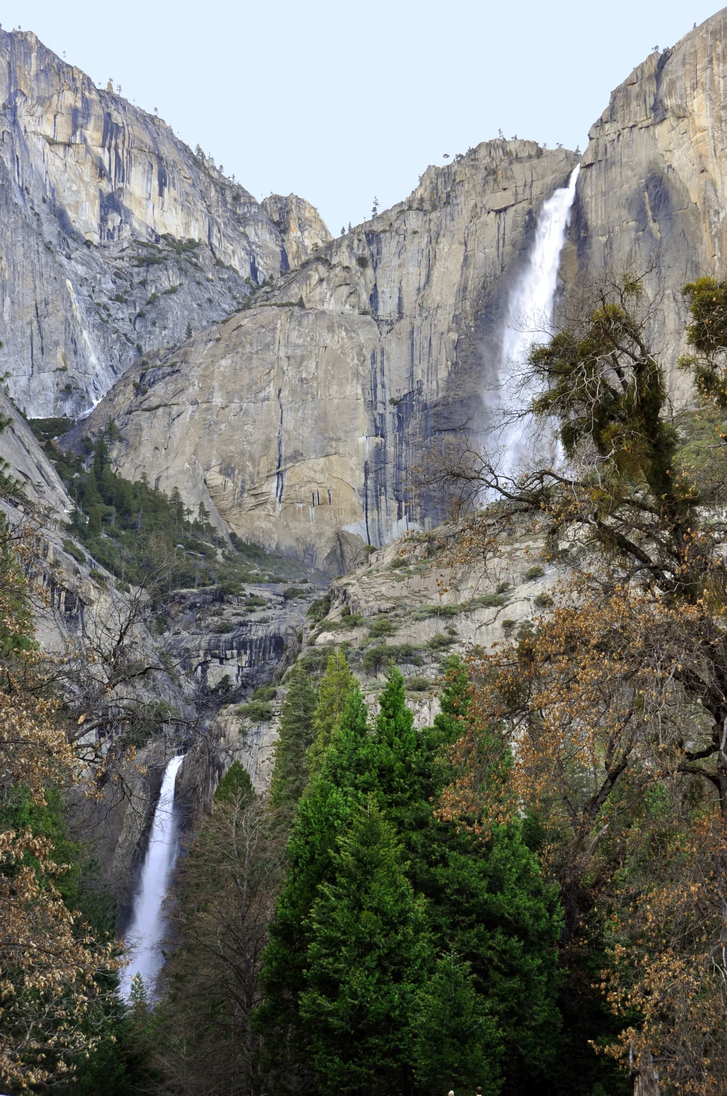 Wikimedia Commons · chensiyuan · CC BY-SA 4.0 ↗
Yosemite Falls
Dropping 2,425 feet in three thundering tiers, Yosemite Falls is the tallest waterfall in North America. It roars loudest in late spring as Sierra snowmelt peaks — and can slow to a trickle, or vanish entirely, by late summer.
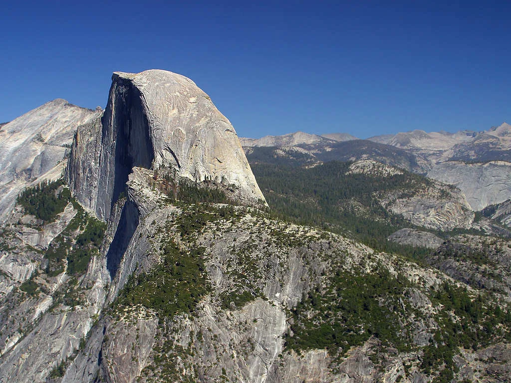 Wikimedia Commons · Jon Sullivan · Public domain ↗
The Batholith
Yosemite's domes and walls are carved from a batholith, a vast body of granite that cooled slowly deep underground before the Sierra Nevada lifted it toward the sky. Ice later exposed and sculpted the rock into today's cliffs and domes.
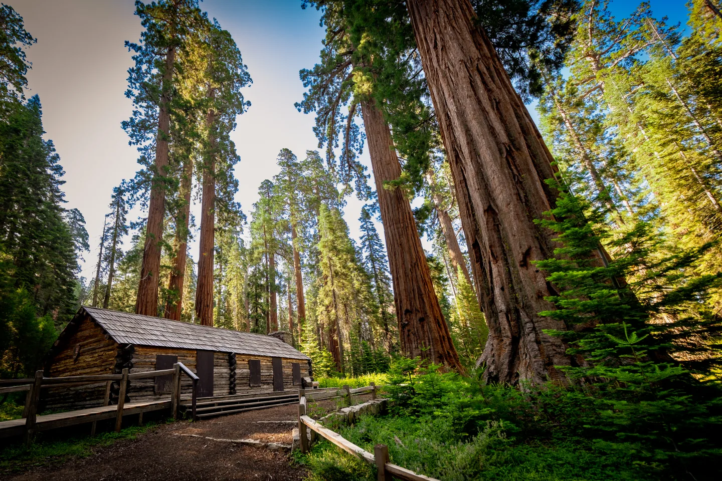 Wikimedia Commons · Guywelch2000 · CC BY 4.0 ↗
Mariposa Grove
In the park's south end, the Mariposa Grove shelters about 500 giant sequoias — the most massive living things on Earth by volume. The Grizzly Giant has stood for an estimated 2,000-plus years, its lowest branch thicker than most tree trunks.
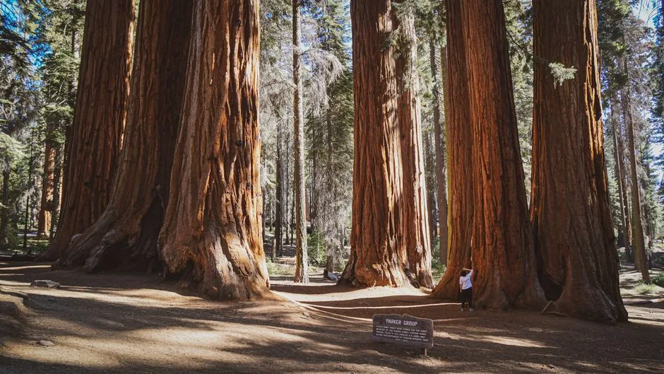 Pexels · Explore the towering giant sequoias in Mariposa Grove, a stunning natural wonder in Yosemite National Park. ↗
The 1864 Yosemite Grant
In 1864, with the Civil War still raging, President Lincoln signed the Yosemite Grant — the first time the federal government set aside scenic land to protect it for public enjoyment. Yosemite Valley and the Mariposa Grove were entrusted to California, planting the seed of the national-park idea that bloomed at Yellowstone in 1872.
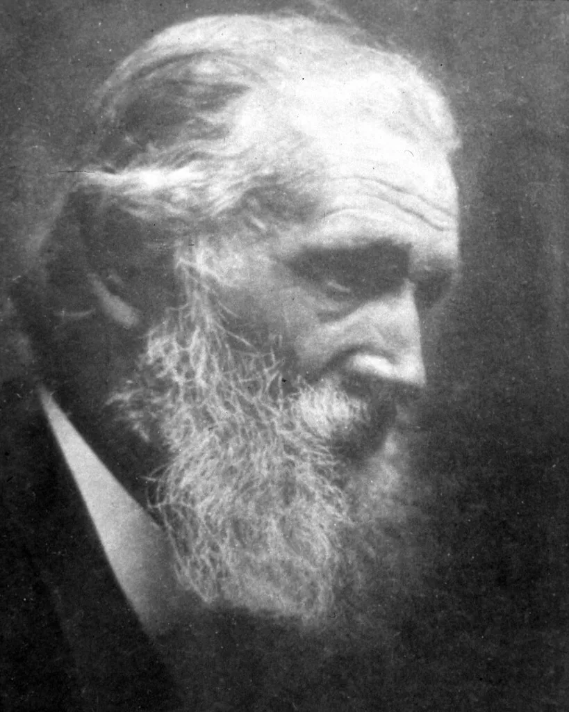 USDAgov (Openverse) · pdm 1.0 ↗
John Muir
The naturalist John Muir wandered the Sierra he called the 'Range of Light,' and his writing and lobbying helped win Yosemite full national-park status in 1890. In 1892 he co-founded the Sierra Club, and a famous 1903 camping trip with Theodore Roosevelt helped steer the country toward broad land protection.
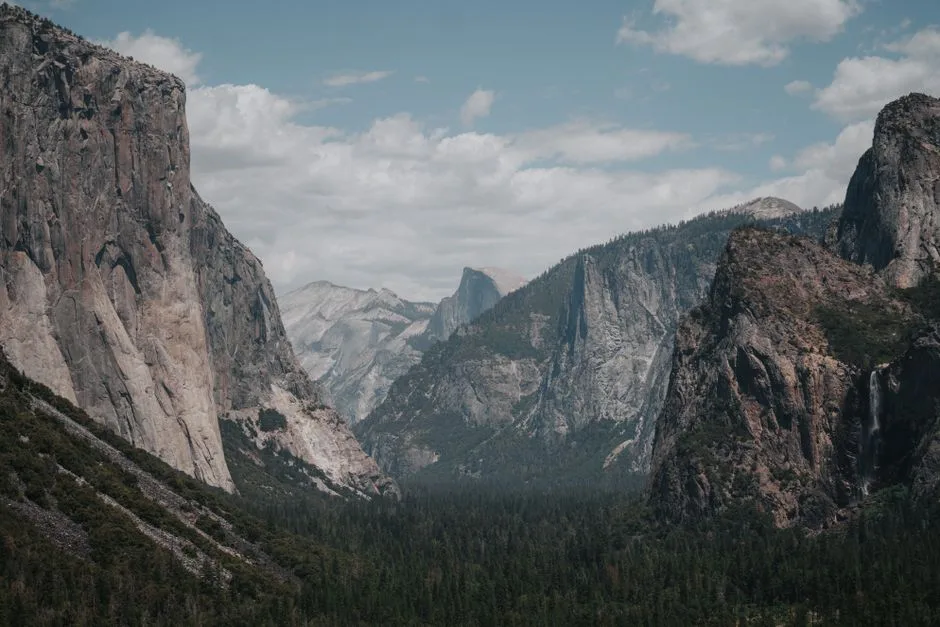 Pexels · Stunning landscape of Yosemite Valley with El Capitan and lush forest below. ↗
Driven From Ahwahnee
The Ahwahneechee, who called the valley Ahwahnee, were driven out during the Mariposa War in 1851 — more than a decade before the 1864 Yosemite Grant set the land aside for protection.
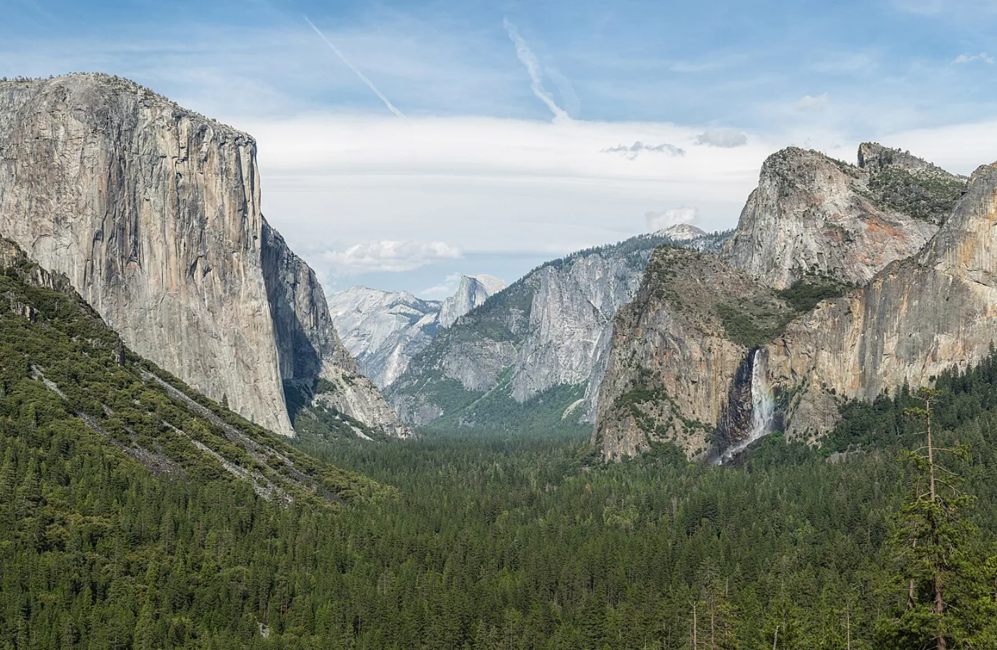 Diliff · CC BY-SA 3.0 ↗
Tunnel View
Drive into the valley from the south and the road bursts out of a tunnel onto the single most famous viewpoint in the park: El Capitan on the left, Bridalveil Fall on the right, Half Dome floating between them. It is the postcard, made real, in one windshield frame.
1 / 10What gave Yosemite Valley its broad, U-shaped profile?
Ice-age glaciers flowed through the Merced River canyon, grinding the V-shaped river valley into a wide U-shaped trough and leaving sheer walls like El Capitan.
Lesson 16 has 65 cards. Keep going in the free app.
Question
The Missing Half 
Lincoln's Grant 
The Firefall All 33 clips on YouTube ↗Transcripts
The Missing Half
Yosemite's Half Dome looks as if a giant sliced it in two. But no missing half ever crashed down.
Its shape comes from exfoliation. Curved sheets of granite flake off, like the layers of an onion.
Glaciers also plucked at its northwest face. That made it steeper.
Its bald crown stands roughly 4,737 feet above the valley floor. It's the park's emblem.
Lincoln's Grant
The Civil War was still raging when Abraham Lincoln signed the Yosemite Grant.
It was 1864. For the first time, the U.S. government set aside scenic land purely to protect it for public use.
The grant placed Yosemite Valley and the Mariposa Grove of giant sequoias in California's care.
The national-park idea fully bloomed 8 years later, at Yellowstone, in 1872.
The Firefall
A waterfall in Yosemite can glow like flowing lava. The effect is called the Firefall.
It happens in mid-February, at sunset. A rare trick of light makes Horsetail Fall glow as it pours down El Capitan.
The spectacle now draws enormous crowds.
Timing shapes everything at Yosemite. In late spring, snowmelt makes the falls roar at their fullest. By late summer, many slow to a trickle or vanish.
-
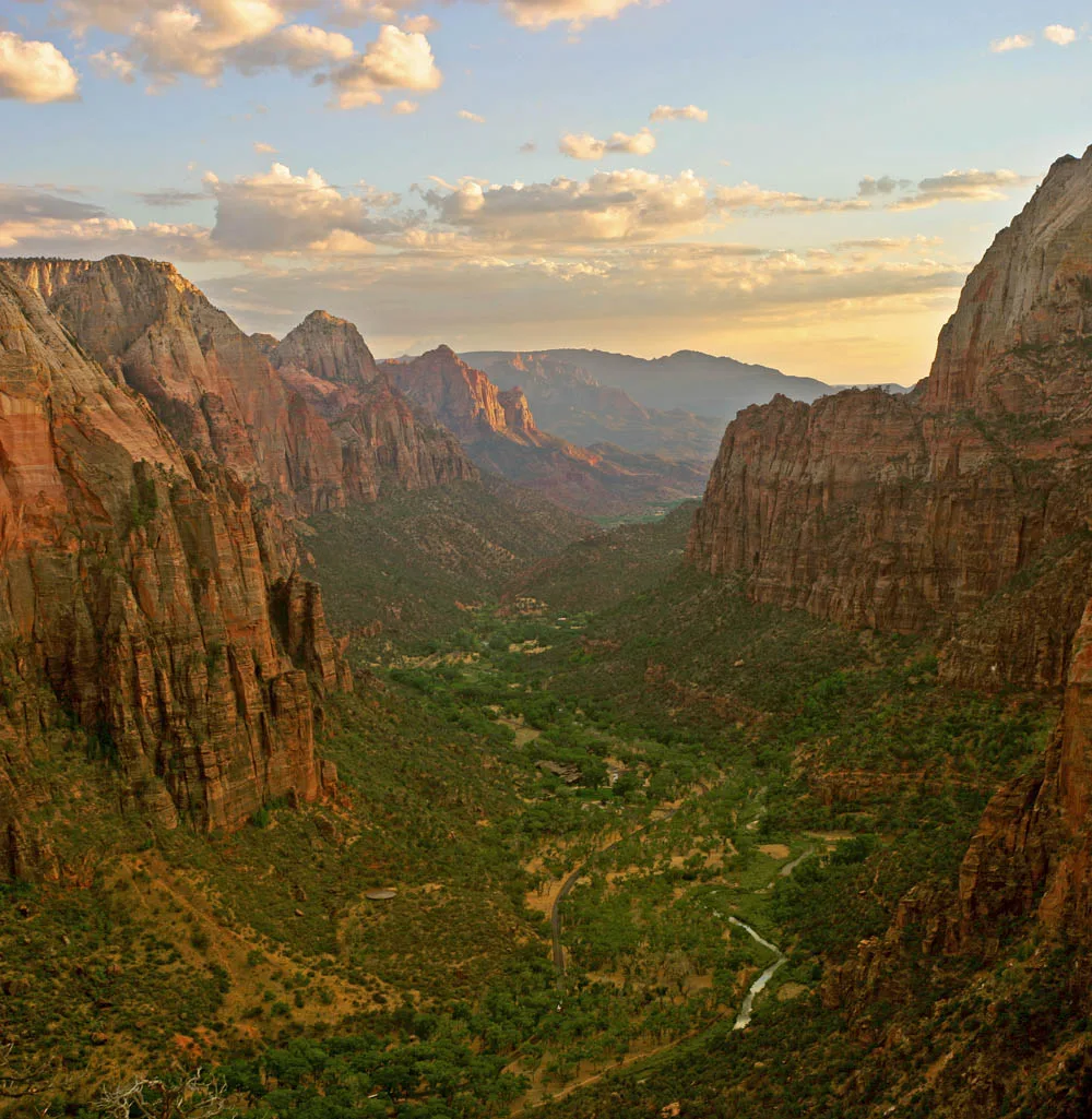 Wikimedia Commons · Diliff · CC BY-SA 3.0 ↗17
Spotlight: Zion
The Canyon of Navajo Sandstone · Angels Landing and the Narrows · Visiting Zion
Lesson 17 · 10 cardsWikimedia Commons · Diliff · CC BY-SA 3.0 ↗Zion Canyon
Zion Canyon is a deep, narrow gorge carved by the Virgin River through cliffs of Navajo Sandstone that rise up to ~2,000 feet from the canyon floor. The walls glow in bands of red, pink, and cream — petrified ancient sand dunes laid down ~180 million years ago. Utah's first national park (renamed from Mukuntuweap National Monument in 1919), Zion spans ~147,000 acres of desert-to-riparian country in southwest Utah.
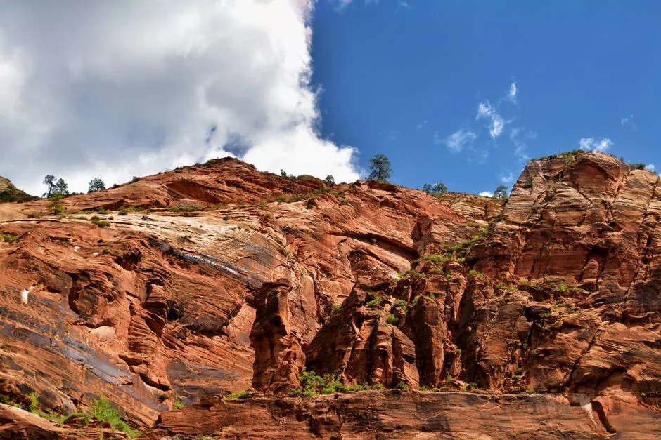 Pexels · Towering red sandstone cliffs under a bright blue sky in Zion National Park. ↗
Mukuntuweap
Before it was Zion, the canyon was known by its Southern Paiute name, Mukuntuweap — the name later given to the national monument established here in 1909.
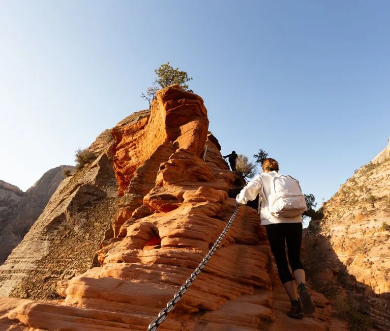 Pexels · Jay Chung · Pexels License ↗
Angels Landing
Angels Landing is a fin of rock with a knife-edge spine, reached by a strenuous ~5-mile round-trip hike that gains ~1,500 feet. The final half-mile follows a narrow ridge with sheer drops on both sides, where hikers cling to bolted chains. It got its name in 1916 when a visitor said "only an angel could land on it." The exposed route has fatal falls; since 2022 a permit is required by lottery to thin the crowds.
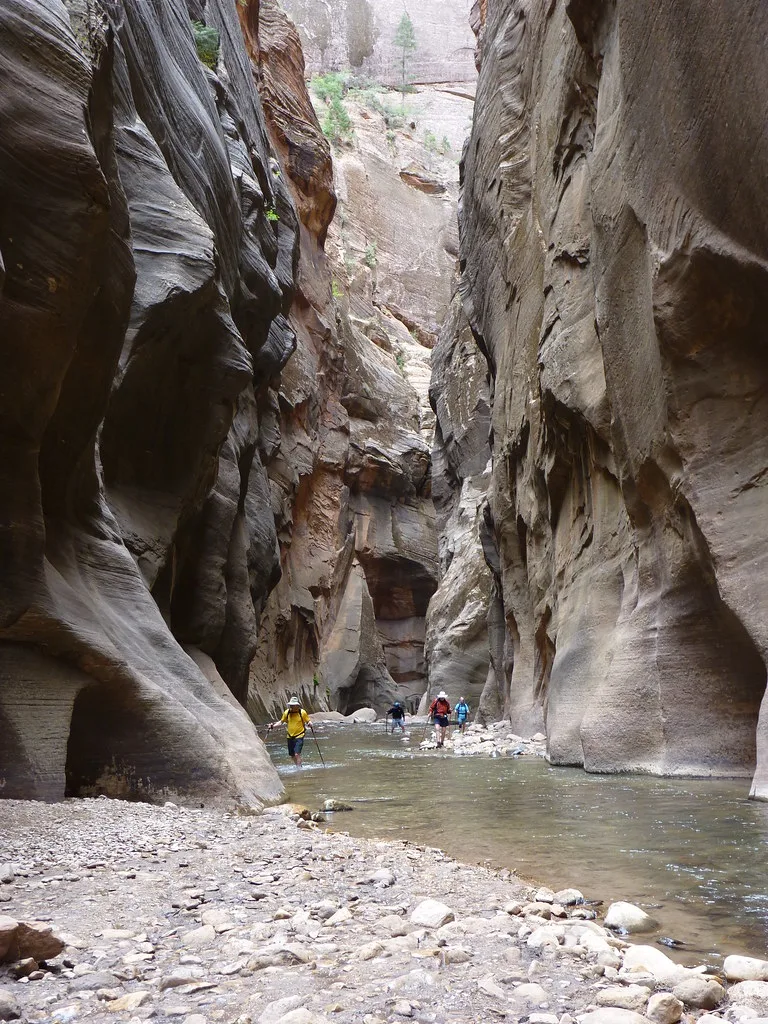 ZionNPS (Openverse) · by 2.0 ↗
The Narrows
In The Narrows, the canyon pinches so tight that the trail IS the Virgin River — hikers wade upstream through the current between walls hundreds of feet tall and sometimes only 20 to 30 feet apart. The bottom-up route runs up to ~9.4 miles. There's no escaping the water, and no escaping a flash flood, which is why rangers close it whenever distant storms threaten. It's one of the most famous slot-canyon hikes on Earth.
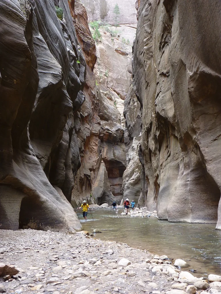 ZionNPS (Openverse) · by 2.0 ↗
Nearly Twice as Long
Hiked bottom-up, the Narrows can stretch to about 9.4 miles before turning back — nearly twice the length of the Angels Landing round trip.
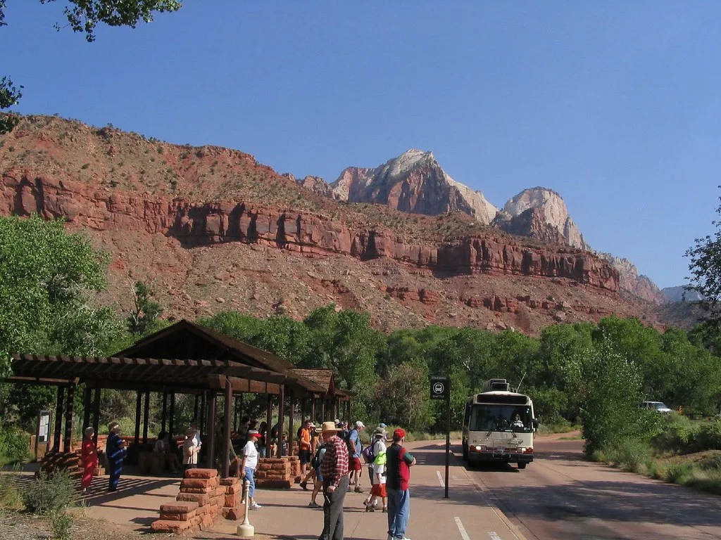 Ken Lund (Openverse) · by-sa 2.0 ↗
The Canyon Shuttle
To spare its narrow canyon from gridlock, Zion bans private cars on the Zion Canyon Scenic Drive for most of the year — visitors ride a free shuttle that stops at trailheads like the Court of the Patriarchs, Emerald Pools, and the Temple of Sinawava, where The Narrows begins. The mandatory shuttle runs spring through fall. It's one of the busiest park shuttle systems in the country, moving millions through the canyon each season.
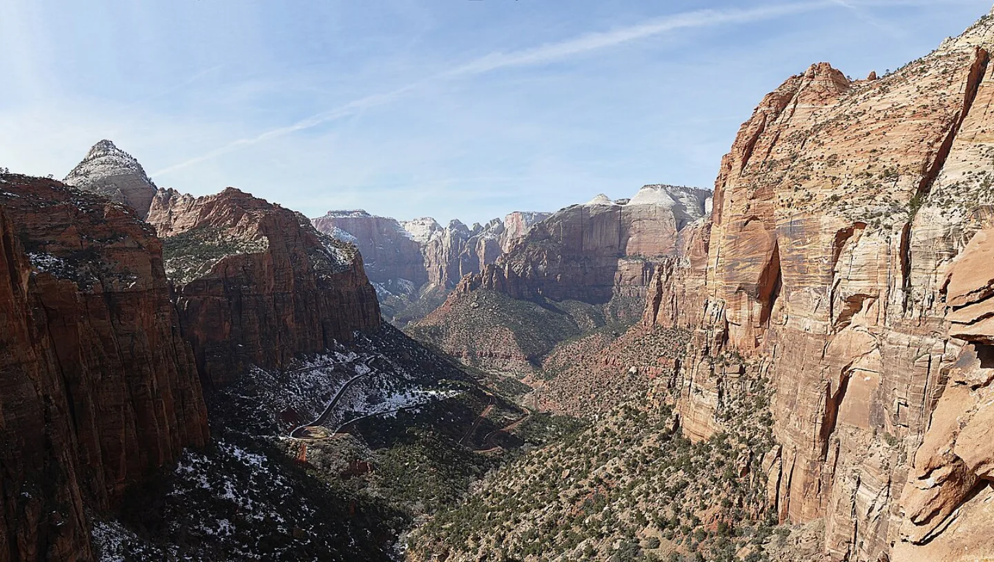 Óðinn · CC BY-SA 2.5 ca ↗
Among the Busiest Parks
Zion drew about 4.95 million visitors in 2024, making it the 2nd-most-visited national park in the country — remarkable for a park whose heart is a single narrow canyon. The crush of crowds is exactly why the canyon shuttle is mandatory and why Angels Landing now runs on a permit lottery. Spring and fall are the sweet spots; summers are hot and packed, while mild winters offer quiet and occasional snow on the red cliffs.
1 / 10What is the geological origin of the Navajo Sandstone that forms Zion's towering cliffs?
Zion's cliffs are lithified dune sand: about 180 million years ago a Sahara-scale desert covered the region, and its dunes were buried, cemented, and lifted into today's cross-bedded walls.
Lesson 17 has 72 cards. Keep going in the free app.
Question
Petrified Dunes 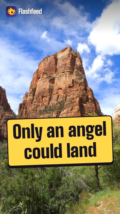
Only an Angel 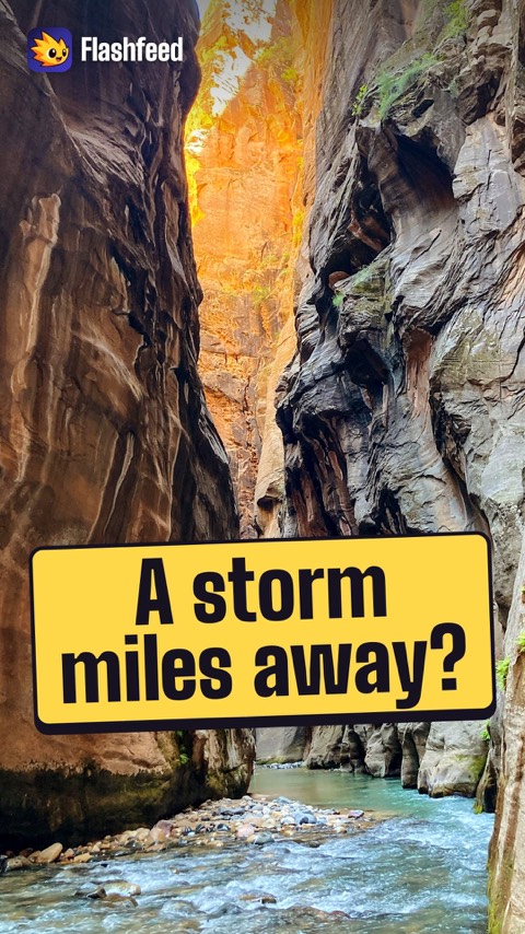
A Storm Miles Away All 33 clips on YouTube ↗Transcripts
Petrified Dunes
Zion's walls are petrified sand dunes. The rock is Navajo Sandstone.
About 180 million years ago, a Sahara-scale desert covered this region. It was one of the largest dune fields in Earth's history.
The sand was buried, cemented and lifted. In the cliffs, slanting cross-beds show the frozen ripples of those dunes.
Iron oxide stains much of the rock red and pink. Other bands stay a pale cream.
Only an Angel
Only an angel could land on it. A visitor said that in 1916. That remark named Zion's Angels Landing.
It's a fin of stone, with a spine so narrow it seems impossible to walk.
The final half-mile follows a ridge with sheer drops on both sides. Hikers haul themselves up on bolted chains. There have been fatal falls.
Crowds grew so heavy that since 2022, the climb needs a lottery permit.
A Storm Miles Away
A thunderstorm miles away can send a flood through Zion's Narrows.
In a slot canyon, water has nowhere to spread out. A wall of muddy water can funnel through the gorge with almost no warning.
A calm wade can become a deadly torrent.
Rangers post a daily flash-flood potential rating. They close the canyon when storms threaten, especially in the summer monsoon. Never enter The Narrows when storms are in the forecast.
-
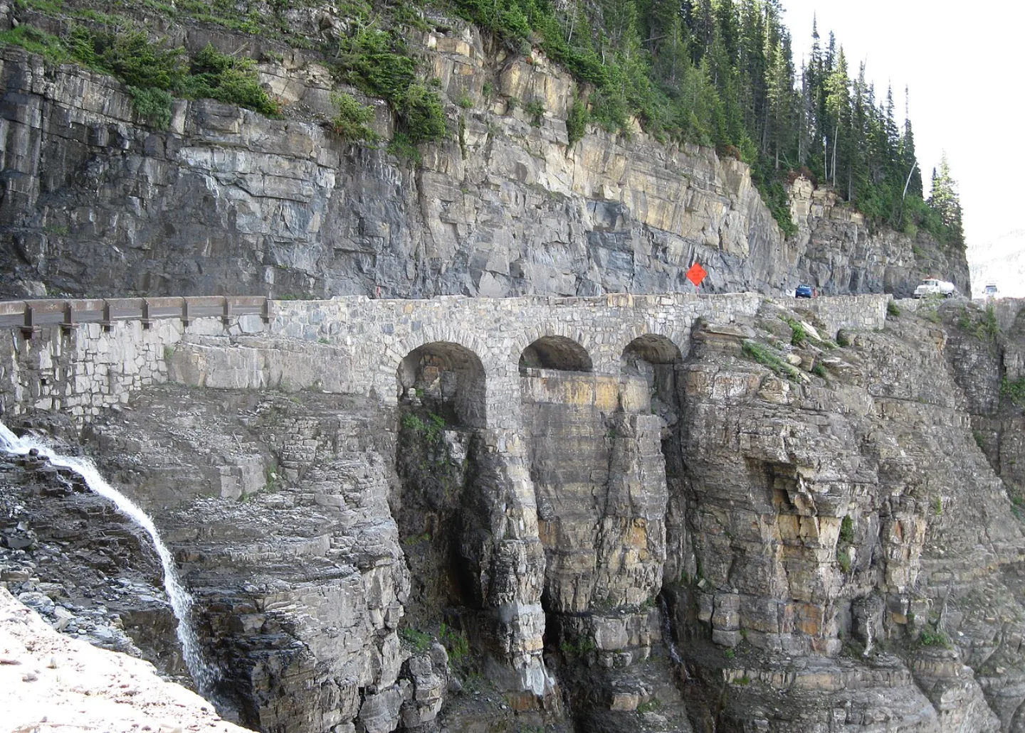 MPSharwood · CC BY-SA 4.0 ↗18
Spotlight: Glacier
Crown of the Continent · Vanishing Ice and Wild Life · Visiting Glacier
Lesson 18 · 10 cardsMPSharwood · CC BY-SA 4.0 ↗Going-to-the-Sun Road
The Going-to-the-Sun Road runs 50 miles clean across the park, climbing the Continental Divide at Logan Pass, 6,646 ft. An engineering marvel of the 1930s, it clings to cliffs along the Garden Wall with hairpin turns and waterfalls spilling onto the asphalt. Snow buries it most of the year — crews plow up to 80 feet of drift each spring, and the high stretch opens only from about late June to mid-October.
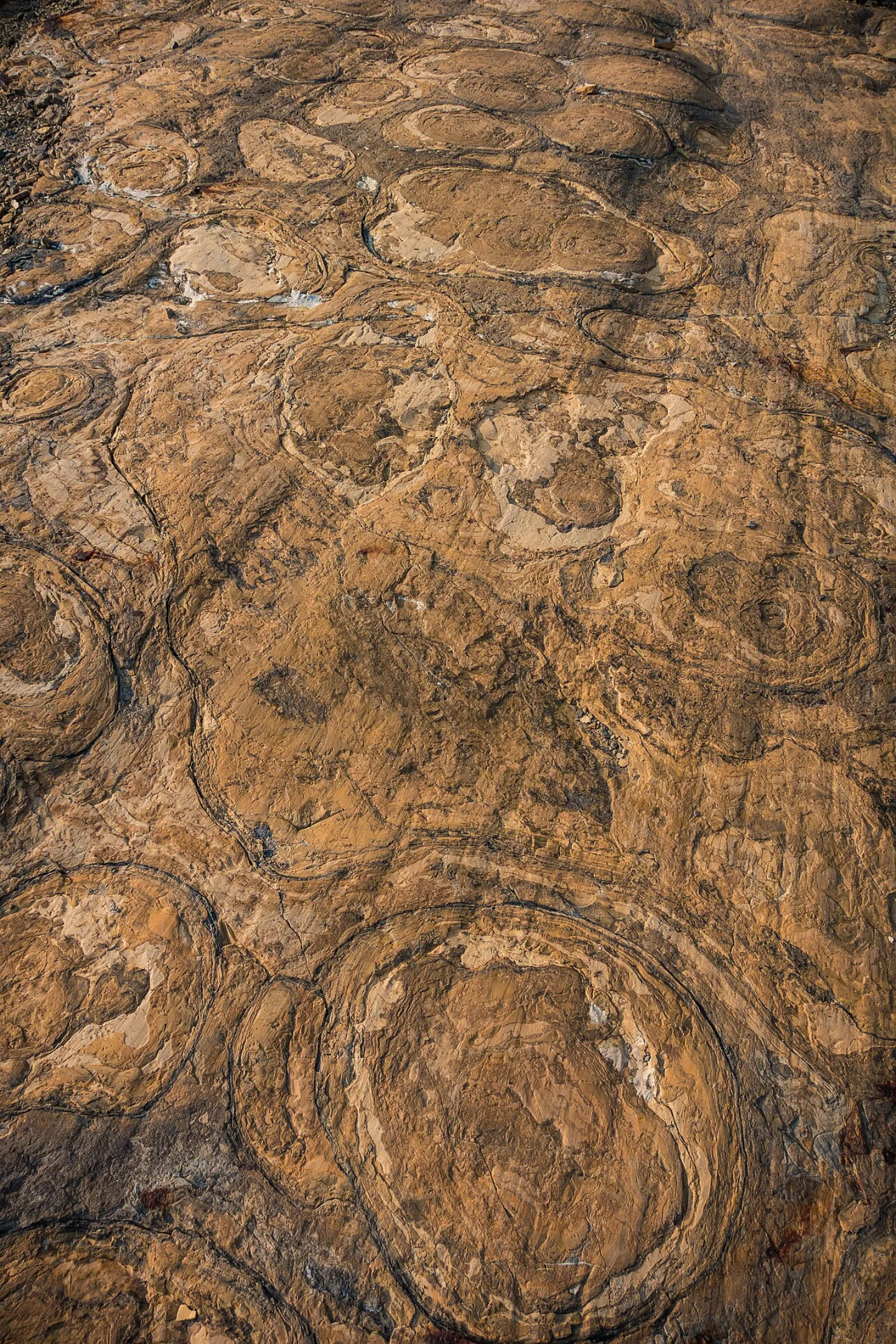 GlacierNPS · Public domain ↗
Belt Supergroup and Stromatolites
Glacier's peaks are built from the Belt Supergroup — sedimentary rock laid down in shallow seas over a billion years ago, then thrust upward along the Lewis Overthrust. Pressed into those ancient layers are some of Earth's best-preserved Proterozoic fossils: stromatolites, the cabbage-shaped mounds built by mats of microbes long before complex life. You can read a billion years of seabed in the cliff faces.
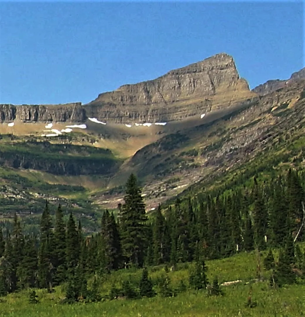 Wikimedia Commons · Eggbones · CC BY-SA 4.0 ↗
Triple Divide Peak
From Triple Divide Peak, a single snowflake's fate splits three ways. This is the hydrological apex of the continent: water shed here can flow to the Pacific Ocean, to Hudson Bay and the Arctic, or down the Missouri–Mississippi to the Gulf of Mexico. Few points on Earth feed three distinct ocean watersheds — the Garden Wall and surrounding arêtes are the knife edges that sort the drops.
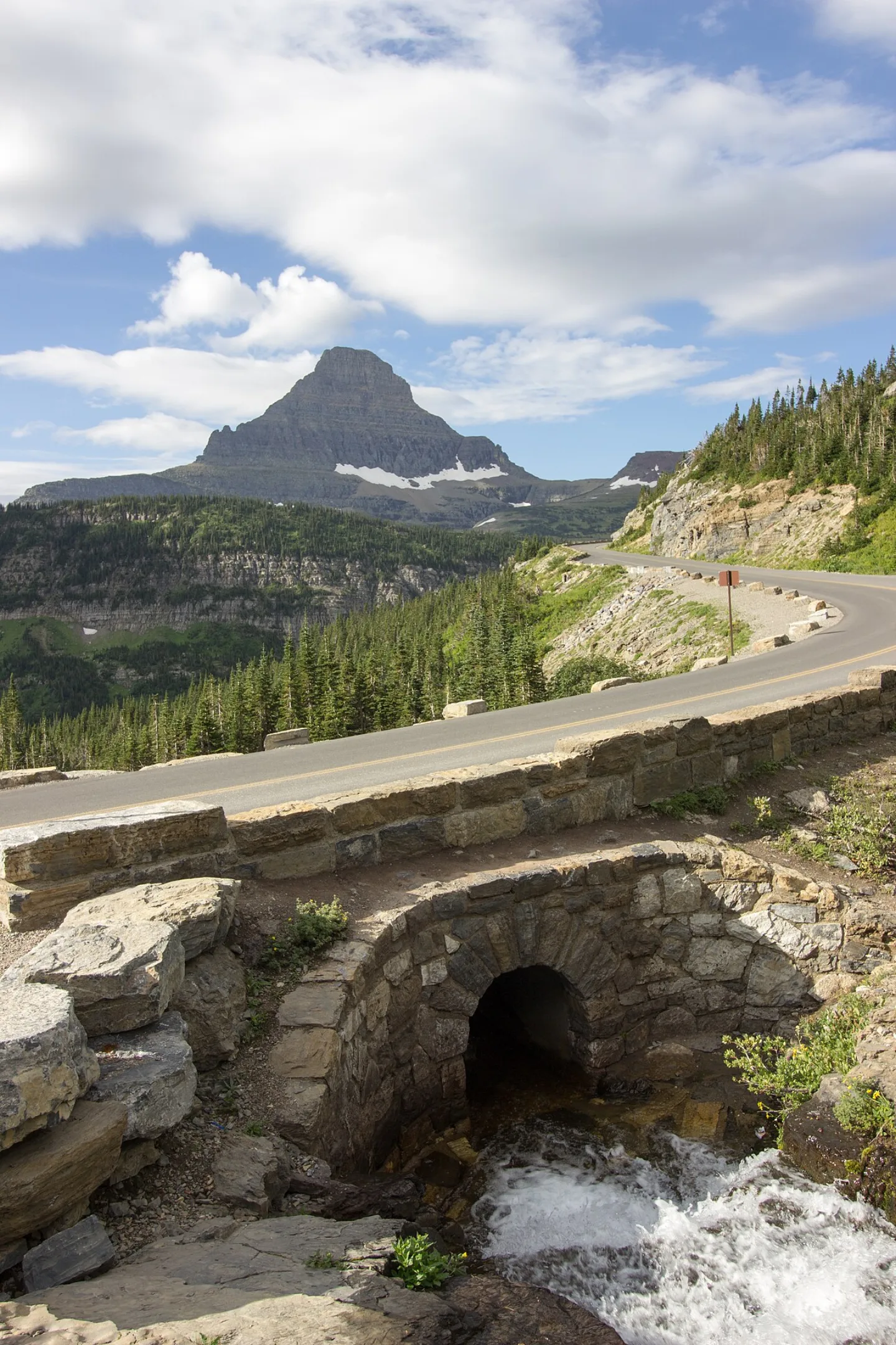 Wikimedia Commons · Joeyp3413 · CC BY-SA 3.0 ↗
80-Foot Snowdrifts
Every spring, plow crews dig through snowdrifts as deep as 80 feet to reopen the Going-to-the-Sun Road, whose high stretch typically stays open only from late June to mid-October.
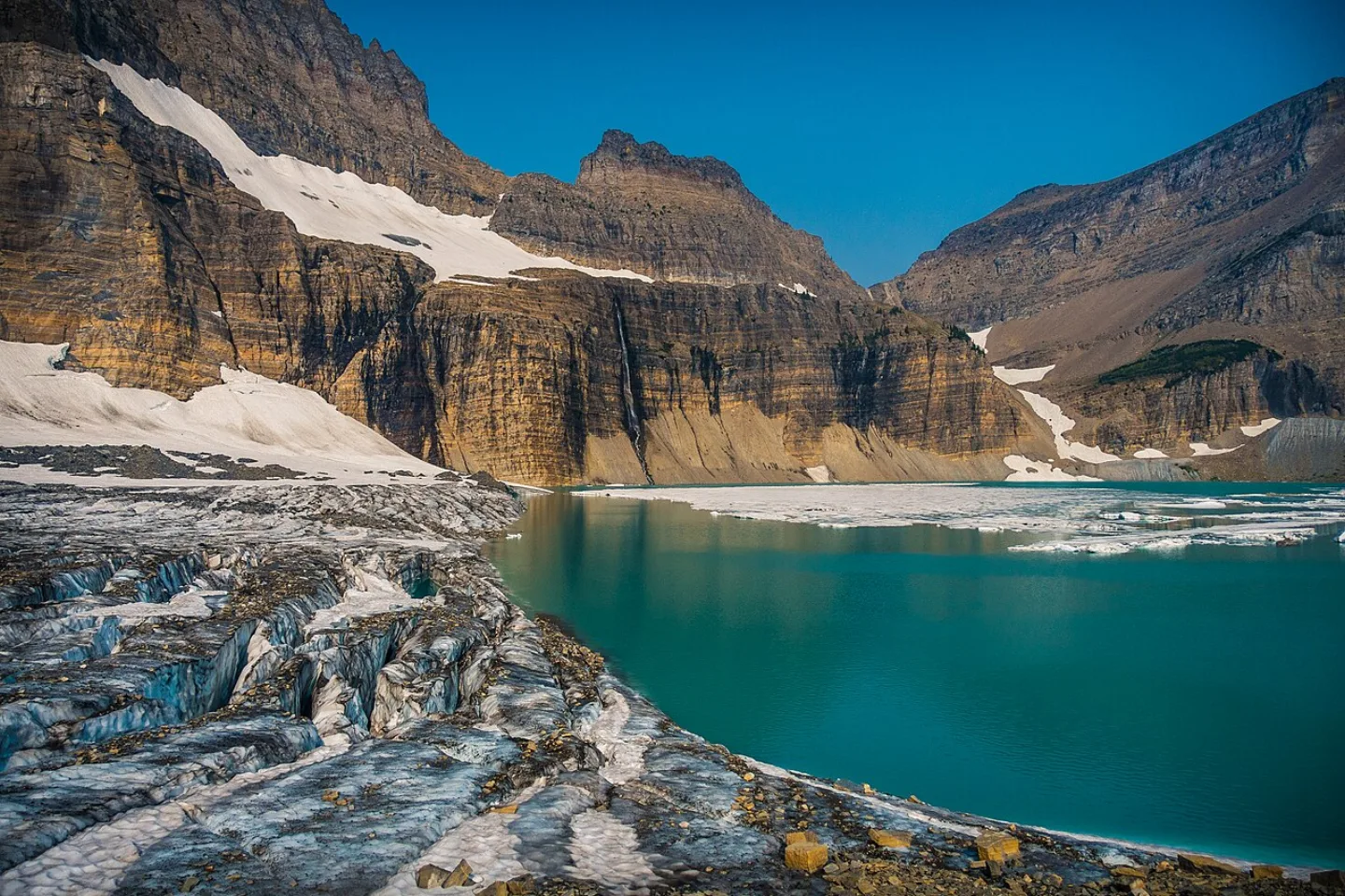 GlacierNPS · Public domain ↗
The Vanishing Glaciers
The park is named for ice it is losing. Around 1850, at the end of the Little Ice Age, roughly 150 glaciers gripped these mountains. Today, by USGS counts, only about 25 named glaciers larger than 25 acres remain — and they are still shrinking, projected to largely disappear in coming decades. The park has become a living, melting classroom for climate change.
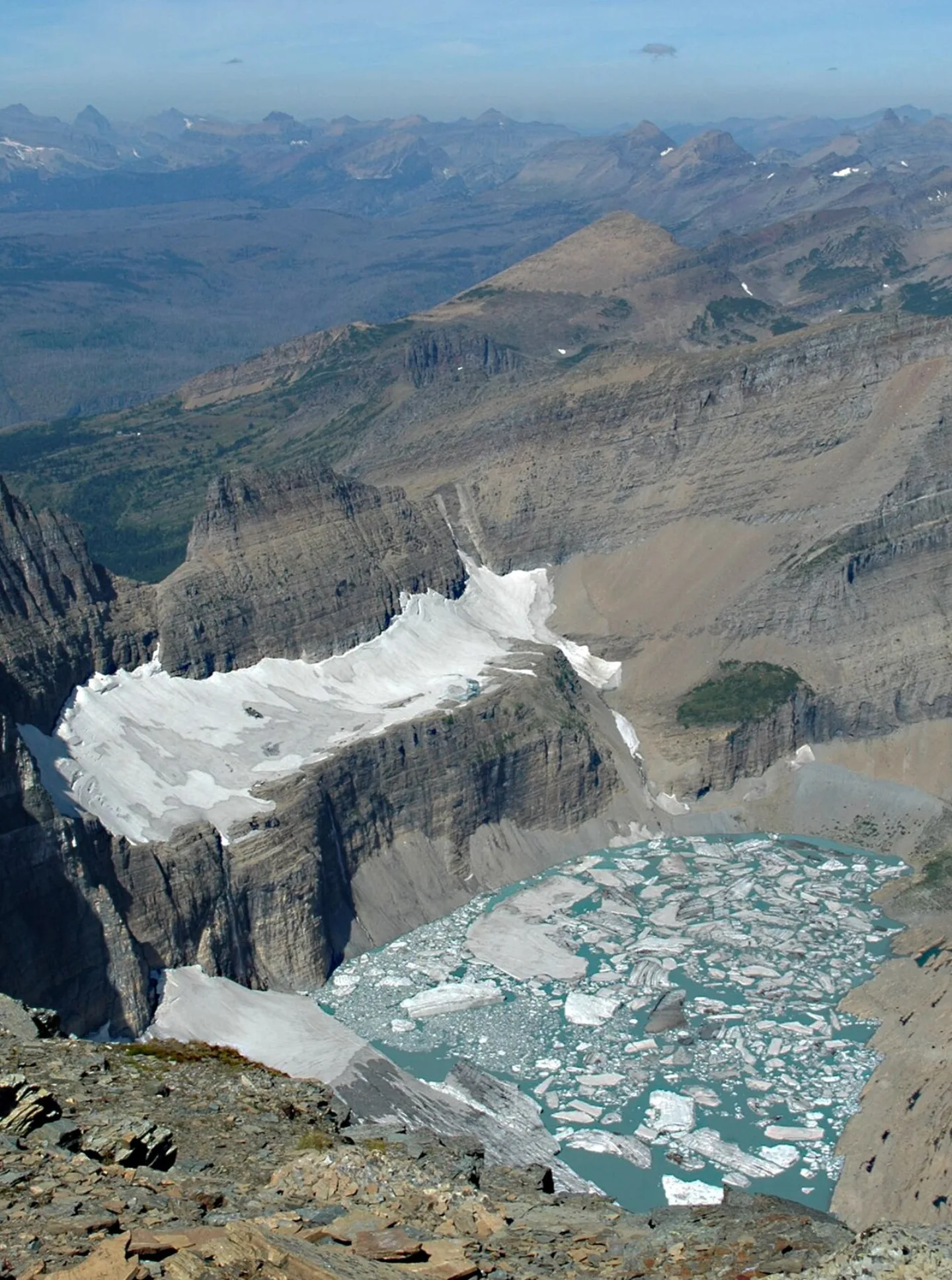 Lindsey Bengtson, USGS · Public domain ↗
Grinnell Glacier
Named for the park's champion, Grinnell Glacier is the most-visited ice in the park — a turquoise meltwater lake fed by a retreating glacier high in the Many Glacier valley. Repeat photographs from the same overlook, decades apart, show the ice pulling steadily back up the mountain. The strenuous ~10.6-mile round-trip hike, climbing about 1,600 ft, ends at the edge of that shrinking ice.
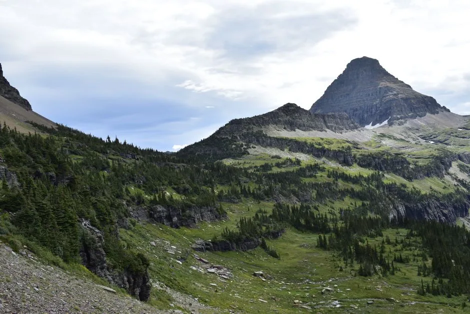 Pexels · Breathtaking view of a rugged mountain peak in Glacier National Park, Montana, captured on a summer day. ↗
Backbone of the World
On the park's east side, the Blackfeet (Niitsitapi) hold the high peaks sacred, calling them the 'Backbone of the World.'
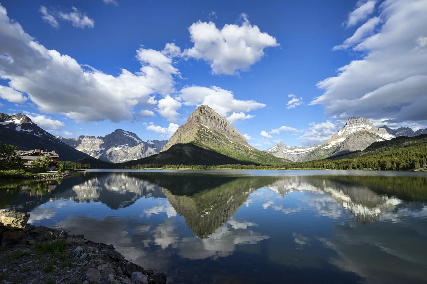 Wikimedia Commons · Christopher Michel · CC BY-SA 4.0 ↗
Many Glacier
If the park has a heart, it is Many Glacier, on the eastern side. Hemmed by towering peaks and fed by glacier-blue lakes, it's the launch point for the Grinnell Glacier and Iceberg Lake hikes and a reliable place to spot grizzlies and moose. The historic Many Glacier Hotel, a Swiss-chalet lodge on Swiftcurrent Lake, anchors a valley many rangers quietly call the most beautiful in the park.
1 / 10The Going-to-the-Sun Road tops the Continental Divide at Logan Pass. What is Logan Pass's elevation?
Logan Pass sits at 6,646 ft, the road's high point on the Continental Divide. 10,466 ft is Mount Cleveland, the park's highest peak; 3,150 ft is roughly the park's low point.
Lesson 18 has 67 cards. Keep going in the free app.
Question
Three Oceans 
The Ice Is Leaving 
Red and Green Pebbles All 33 clips on YouTube ↗Transcripts
Three Oceans
A snowflake in Glacier National Park can end up in 3 different oceans.
The spot is Triple Divide Peak. Its water can flow three ways.
West to the Pacific. North to Hudson Bay and the Arctic. Or down the Missouri and Mississippi, to the Gulf of Mexico.
Knife-edged ridges do the sorting. They're called arêtes. Glaciers gnawed a mountain from opposite sides until only a blade of rock remained.
The Ice Is Leaving
Glacier National Park is named for ice. And that ice is leaving.
Around 1850, roughly 150 glaciers gripped these peaks. Today, by USGS counts, only about 25 are left. Those are named glaciers over 25 acres.
Scientists project they will largely disappear in coming decades.
Paired photos show the ice pulling back up the mountainsides.
Red and Green Pebbles
Why are the rocks at Lake McDonald so colorful? The shore is covered in smooth pebbles, in reds and greens.
Lake McDonald is the park's largest lake: about 10 miles long and 472 feet deep.
The colors come from iron in the ancient Belt rock. The reds formed where the iron baked in ancient air. The greens formed where it stayed submerged.
It's a billion-year-old geology lesson you can hold in your palm.
-
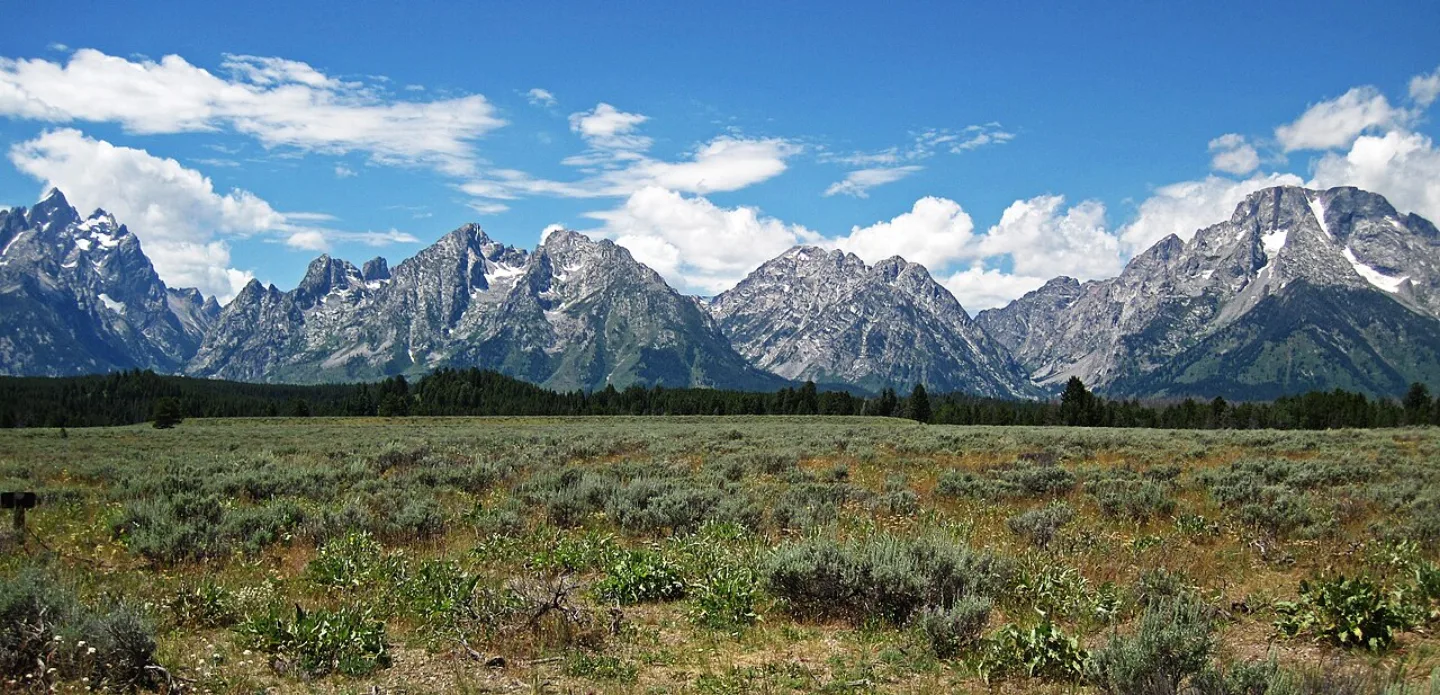 James St. John · CC BY 2.0 ↗19
Spotlight: Grand Teton
A Range Without Foothills · Wildlife, Icons & Visiting
Lesson 19 · 10 cardsJames St. John · CC BY 2.0 ↗A Range Without Foothills
The Teton Range rises some 7,000 vertical feet straight from the flat valley of Jackson Hole with no foothills to soften the blow — one of the most dramatic mountain fronts on the continent. Grand Teton itself crests at 13,775 ft. There is no warm-up climb here: sagebrush flats meet sheer granite, and the peaks seem to leap out of the ground.
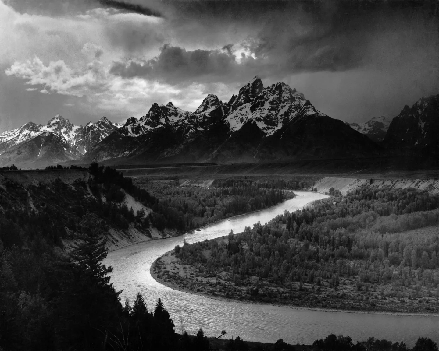 Wikimedia Commons · Ansel Adams · Public domain ↗
The Youngest Rockies
The Tetons are fault-block mountains, uplifted along the Teton Fault over roughly 10 million years — making them one of the youngest ranges in the Rocky Mountains. It was a seesaw: as the fault slipped, the peaks rose while the valley of Jackson Hole dropped down beside them. Later, glaciers ground out the cirques, canyons, and lakes that define the range today.
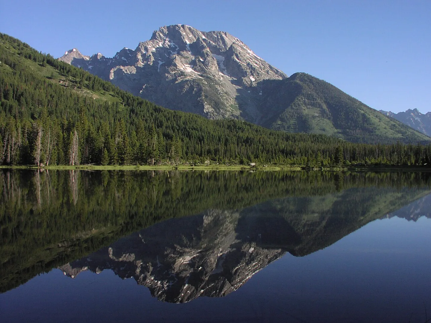 S. Zenner · Public domain ↗
A String of Glacial Lakes
Glaciers flowing out of the canyons left a string of jewel-like lakes along the base of the range — Jenny, Jackson, Leigh, and String among them. Each sits where a glacier paused and dumped its load of rubble, damming the meltwater behind it. Jackson Lake is the largest; Jenny is the most photographed, its boat shuttle the gateway to Cascade Canyon.
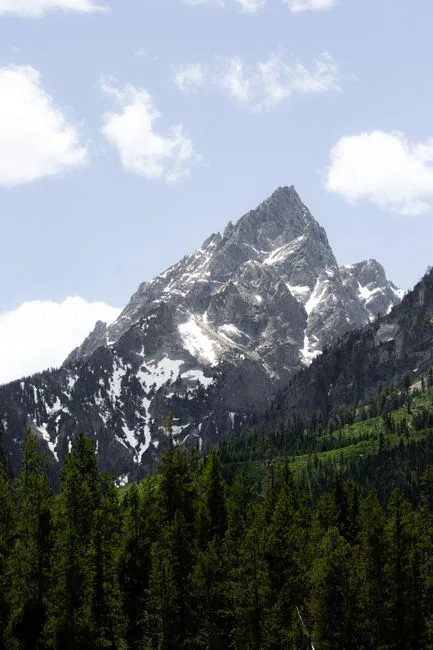 Pexels · Majestic view of Grand Teton peak in summer, captured with lush greenery and blue skies. ↗
13,775 Feet
Grand Teton, the sharp granite pyramid that gives the park its name, rises to 13,775 feet — the tallest summit in the range.
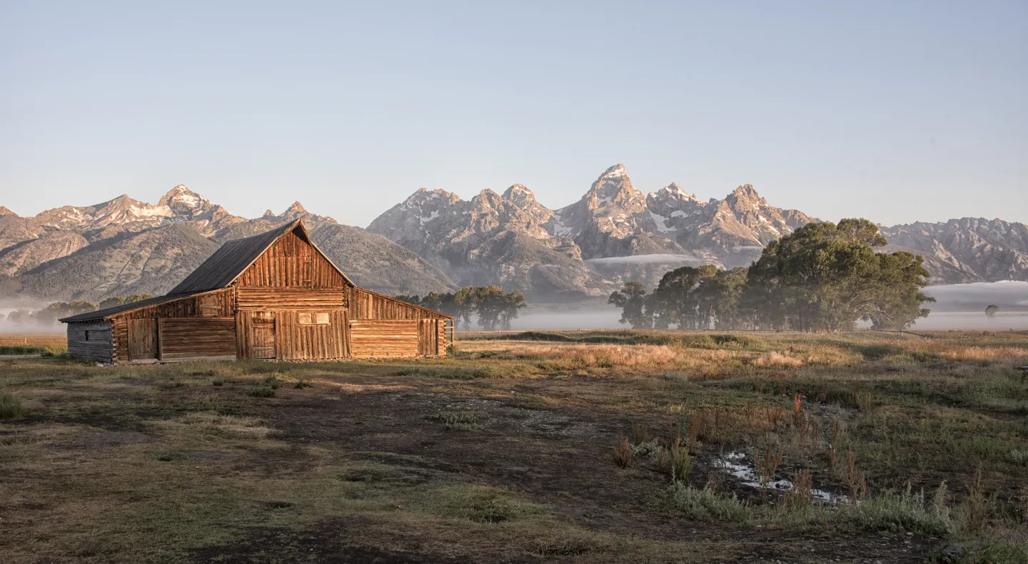 Wikimedia Commons · Gillfoto from Juneau, Alaska, United States · CC BY-SA 4.0 ↗
Mormon Row's Moulton Barn
On Mormon Row, a weathered homestead barn built by Latter-day Saint settlers stands framed by the full sweep of the Tetons — the T.A. Moulton Barn, said to be one of the most photographed barns in America. The pioneers are long gone, but the gabled silhouette against the peaks has become the human face of the park.
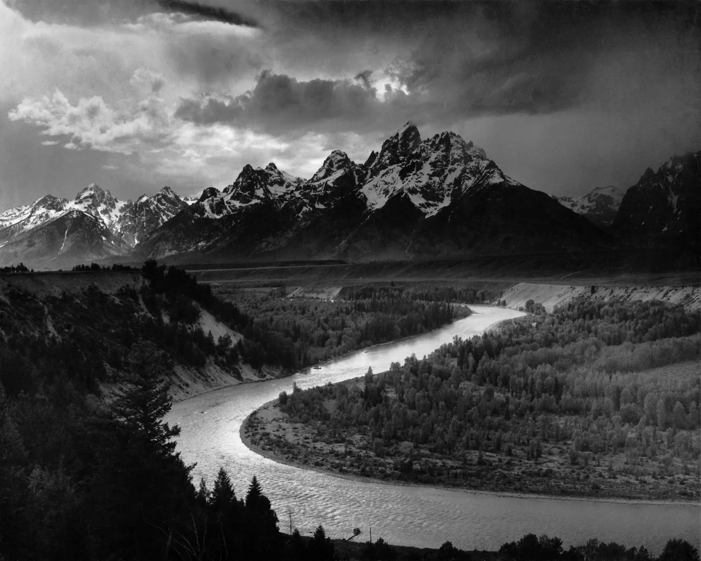 Wikimedia Commons · Ansel Adams · Public domain ↗
The Ansel Adams Shot
From Snake River Overlook, the river curls in a great silver bend through dark timber toward the wall of the Tetons — the composition Ansel Adams immortalized in 1942. His black-and-white photograph later rode aboard the Voyager spacecraft as one of humanity's images sent to the stars. The trees have grown taller since, but the view still stops traffic.
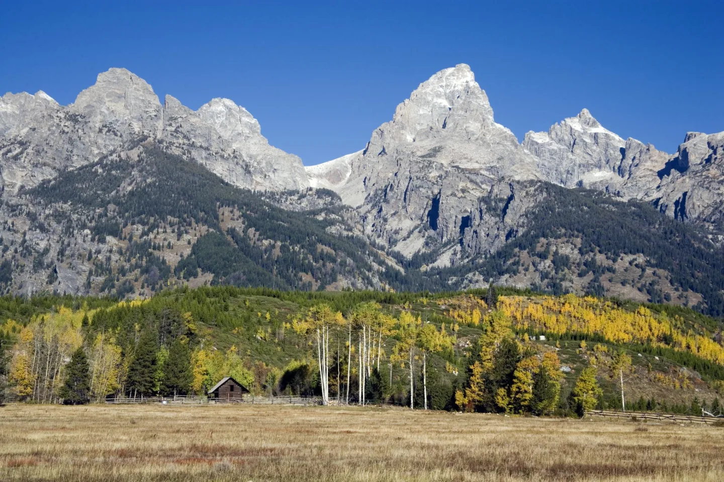 Library of Congress · Grand Teton National Park, Wyoming · No known restrictions (verify at source) ↗
September Gold
Summer into early fall is prime time, but September is the magic month: the aspen groves turn molten gold, and the elk rut fills the valley with the eerie, whistling bugles of bull elk. Crisp mornings, golden light, and the great cycle of the wild on full display under the peaks.
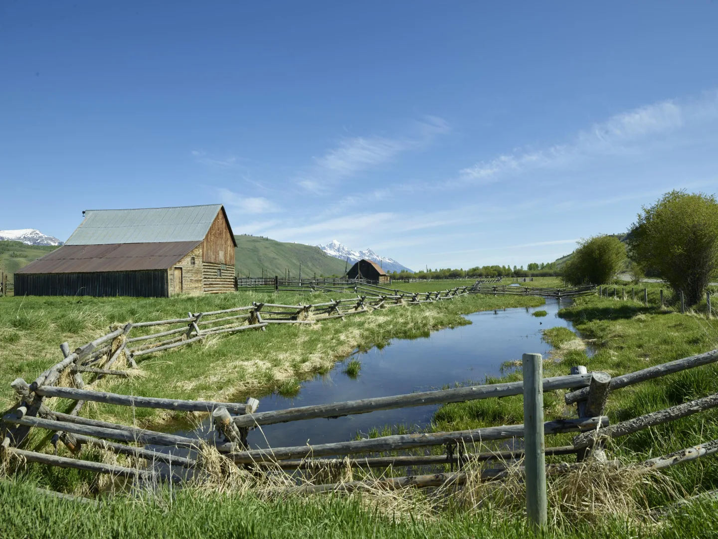 Library of Congress · Ranch fencing in Jackson Hole, locals' term for a valley, in · No known restrictions (verify at source) ↗
The Jackson Hole Buyer
John D. Rockefeller Jr. quietly bought up ranch land in Jackson Hole and donated it, and a 1950 expansion folded that land into Grand Teton National Park — the Rockefeller Parkway still bears his name.
1 / 10The Teton Range climbs roughly how many vertical feet straight out of Jackson Hole?
The range rises ~7,000 vertical feet with no foothills — one of the most abrupt mountain fronts in North America. 13,775 ft is Grand Teton's summit height, not the relief.
Lesson 19 has 62 cards. Keep going in the free app.
Question
No Foothills 
Snake River Overlook All 33 clips on YouTube ↗Transcripts
No Foothills
The Teton Range has no foothills. It rises roughly 7,000 vertical feet, straight out of flat ground.
The Teton Fault works like a seesaw. As it slips, the mountain side tilts up. The valley side drops down.
The peaks rose as Jackson Hole sank. That's why there are no foothills. The valley floor is the down-dropped half.
The range rose over roughly 10 million years. It's one of the youngest in the Rockies.
Snake River Overlook
A photo of the Tetons rode aboard the Voyager spacecraft. It was one of humanity's images sent toward the stars.
The view is from Snake River Overlook. The river curls in a great silver bend toward the wall of the Tetons.
Ansel Adams took the picture in 1942. It became one of the defining images of the American West.
The cottonwoods have grown taller since. They partly hide the river.
-
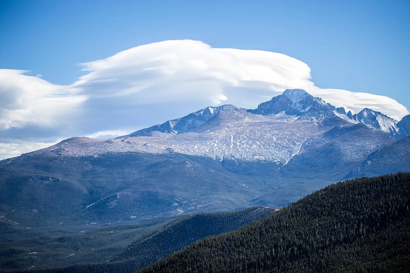 Anne Dirkse · CC BY-SA 4.0 ↗20
Spotlight: Rocky Mountain
The Roof of the Rockies · Elk, Lakes & Visiting
Lesson 20 · 7 cards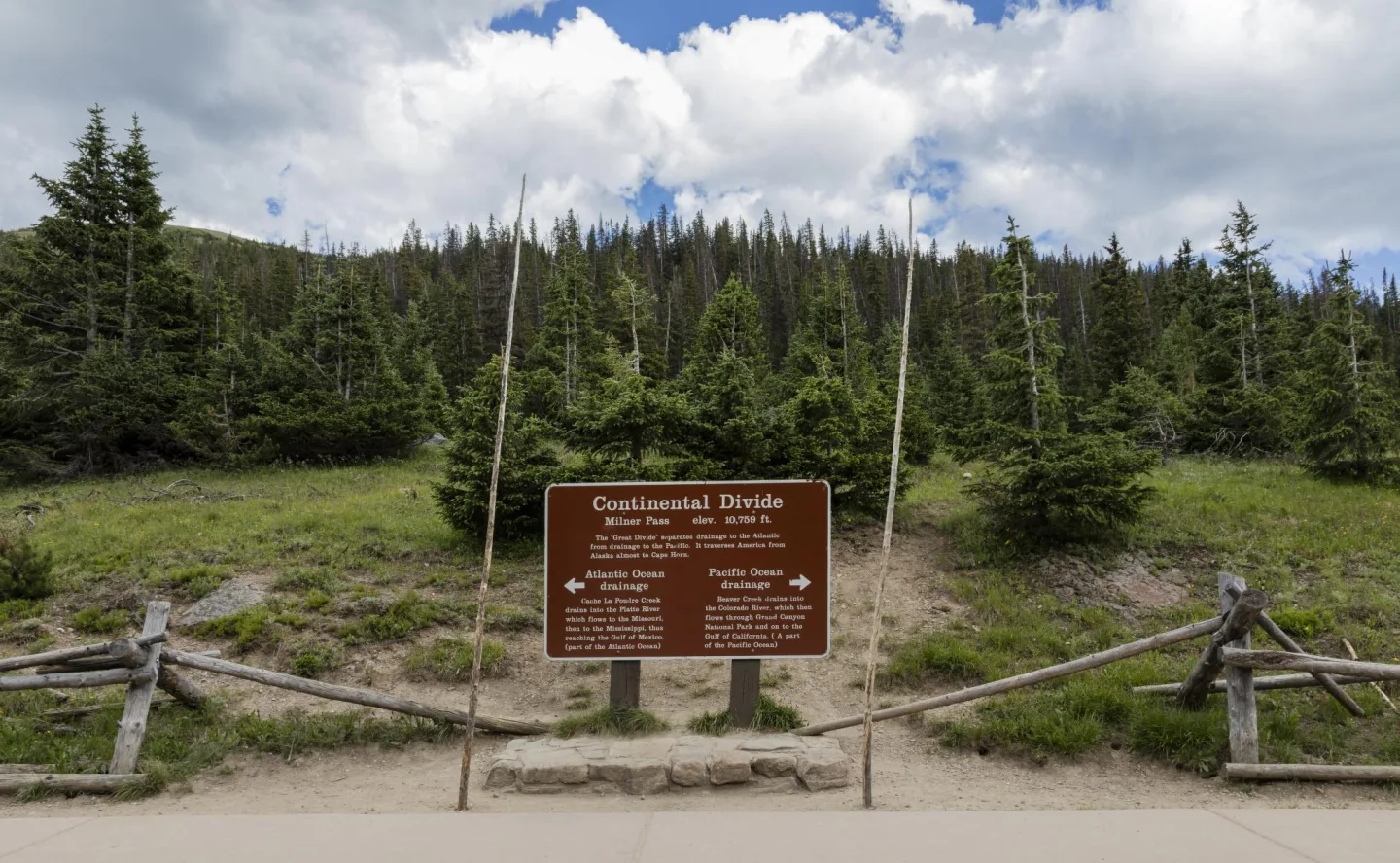 Library of Congress · Continental Divide sign high in Rocky Mountain National Park · No known restrictions (verify at source) ↗
The Continental Divide
The Continental Divide runs the spine of the park, the hydrologic ridgeline where rain and snowmelt part ways — water on the west flows toward the Pacific, water on the east toward the Atlantic. The park's granite core is ancient Precambrian rock, uplifted as the Front Range and then carved by Ice Age glaciers into cirques, moraines, and U-shaped valleys.
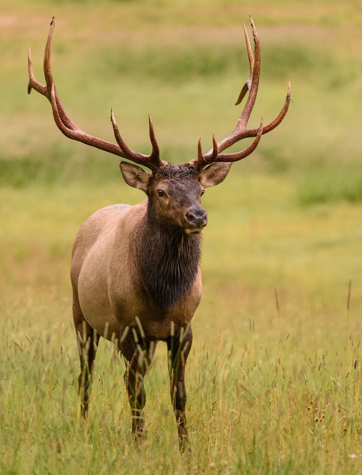 Andrew Russell · CC BY 2.0 ↗
The Autumn Elk Rut
Each autumn, the meadows of Moraine Park fill with one of the park's great spectacles: the elk rut. Bull elk gather harems and challenge rivals with the bugle — a haunting, high-pitched whistle that carries across the cold valley air at dawn and dusk. Crowds gather along the road each September to watch and listen as the bulls clash antlers in the frosted grass.
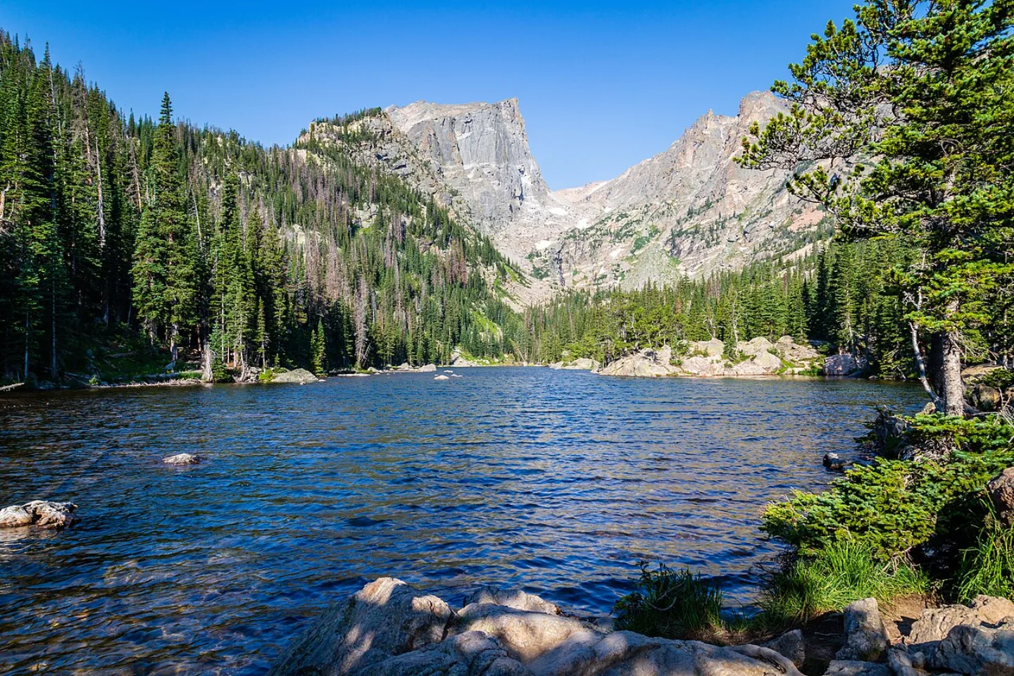 Andrew Parlette from Elkridge,MD, US · CC BY 2.0 ↗
Bear Lake to Emerald Lake
Bear Lake is the park's most beloved trailhead, a glassy subalpine pool ringed by spruce and rock. From here the Emerald Lake trail climbs a gentle 3.6 miles round trip, gaining about 700 feet as it strings together Nymph, Dream, and Emerald lakes — three jewels beneath the sheer walls of Hallett Peak and Flattop Mountain. For the ambitious, Sky Pond pushes 9 miles past tumbling waterfalls.
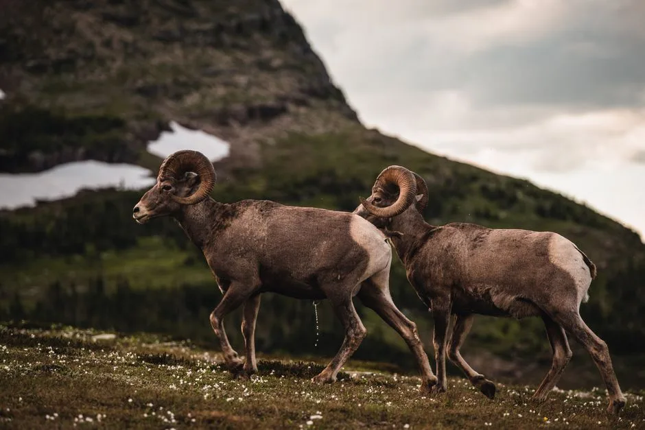 Pexels · Two bighorn sheep in a serene mountain landscape, exemplifying wildlife in nature. ↗
Not Elk or Moose
The bighorn sheep serves as the official emblem of Rocky Mountain National Park, even though elk, moose, and other animals share its slopes too.
1 / 7What does the Continental Divide separate as it runs through the park?
The Continental Divide is the hydrologic ridgeline where water parts — west toward the Pacific, east toward the Atlantic. It is not a political or land-use boundary.
Lesson 20 has 62 cards. Keep going in the free app.
Question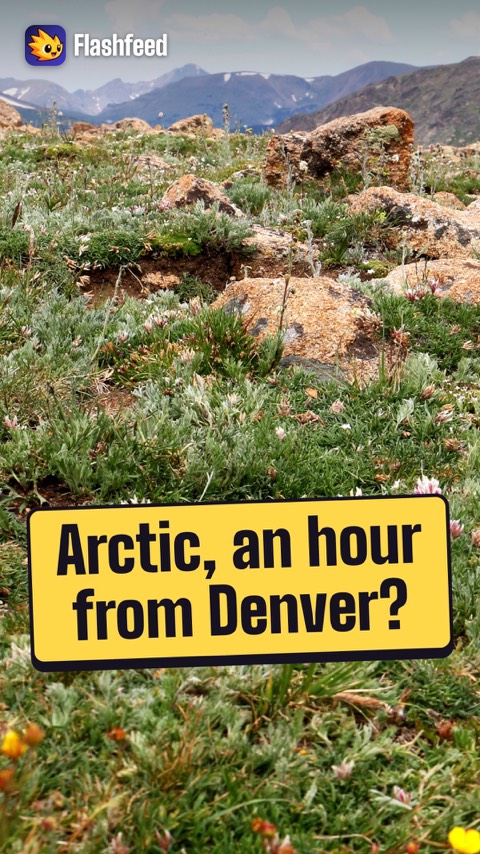
Above the Trees 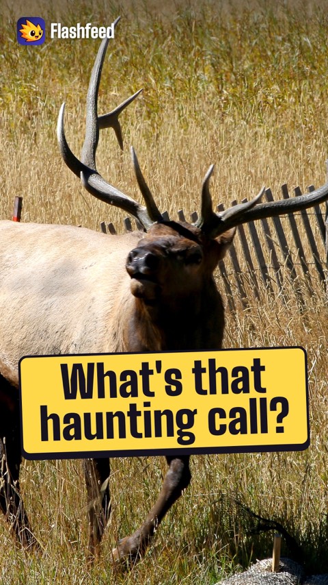
The Elk Rut All 33 clips on YouTube ↗Transcripts
Above the Trees
An hour from Denver, Rocky Mountain National Park feels closer to the Arctic.
More than a third of the park lies above treeline. Up there is alpine tundra, treeless and shaped by frost.
Wildflowers hug the ground. Their growing season is measured in weeks.
The crown is Longs Peak, at 14,259 feet. It's the park's only fourteener.
The Elk Rut
Each fall, a haunting call sounds across the meadows of Rocky Mountain National Park. Bull elk are bugling.
The bugle is a high-pitched whistle that rises to a guttural grunt. It carries across the cold valley at dawn and dusk.
This is the elk rut. In Moraine Park, bulls gather and defend harems of cows. Rivals clash antlers in the frosted grass.
September is the season, and prime time for golden aspens.
-
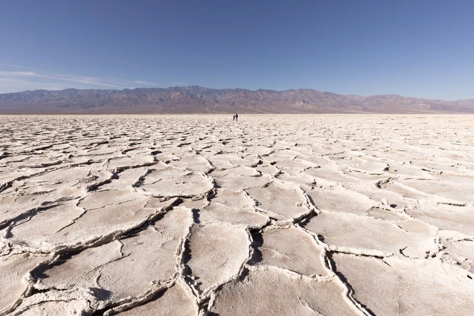 Pexels · Angelica Reyn · Pexels License ↗21
Spotlight: Death Valley
The Hottest, Driest, Lowest Place · A Geologist's Wonderland · Visiting Death Valley
Lesson 21 · 10 cards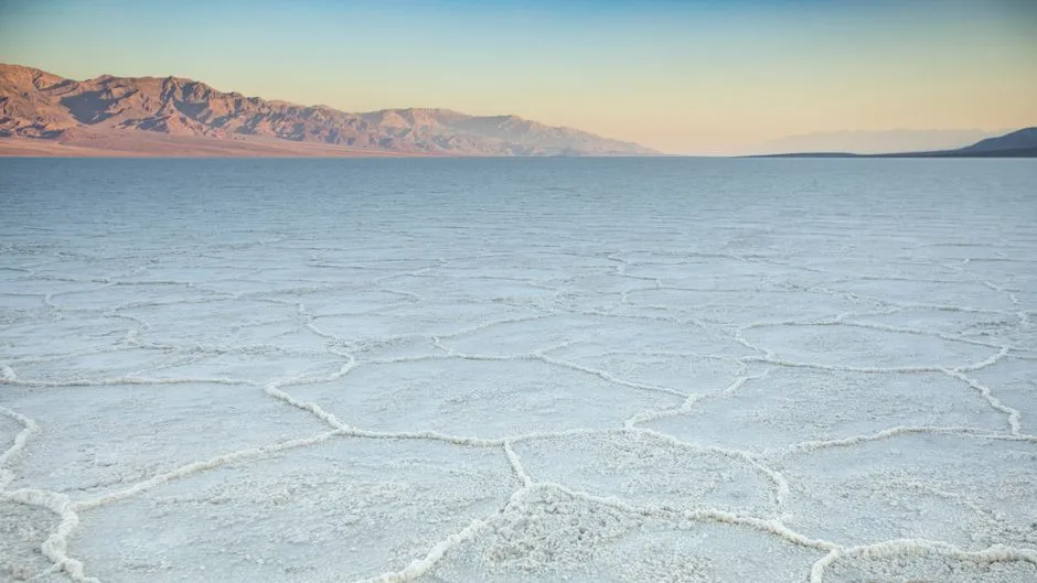 Pexels · Stunning view of the salt flats at Badwater Basin in Death Valley during sunset. ↗
Two Miles, Top to Bottom
From the salt at Badwater (−282 ft) to the summit of Telescope Peak (11,049 ft), Death Valley packs more than two vertical miles into a single park. On a winter morning you can stand on snow at the top and look straight down onto a sun-baked salt pan that may never see frost — one of the most extreme elevation gradients in any U.S. park.
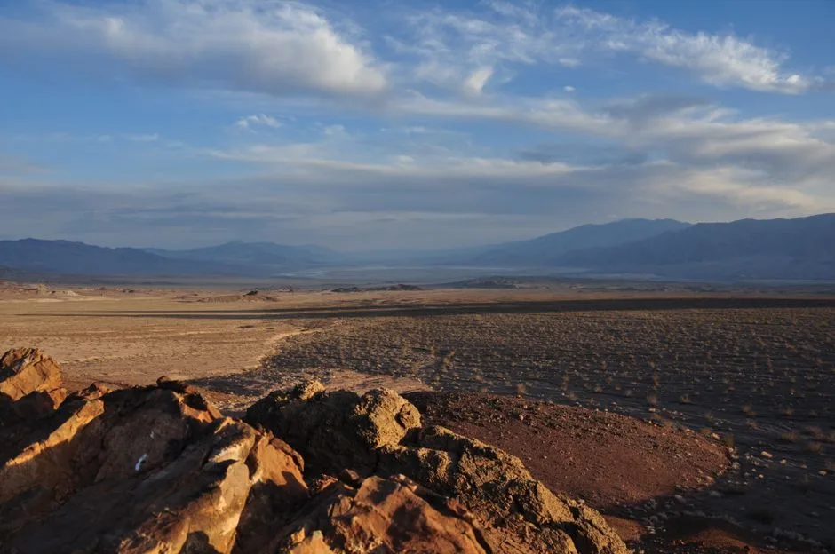 Pexels · Breathtaking landscape view of Death Valley National Park at sunset, showcasing vast desert terrain. ↗
Never the Wettest
Despite its record heat, Death Valley is the driest place in North America, receiving only about 2 inches of rain a year — it genuinely is the lowest, hottest, and largest contiguous park all at once, but never the wettest.
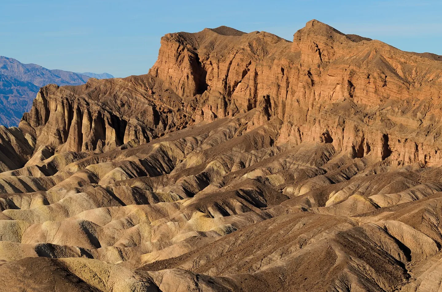 King of Hearts · CC BY-SA 3.0 ↗
Zabriskie Point
Zabriskie Point overlooks a sea of golden badlands — wrinkled, sculpted ridges of ancient lakebed mud, ribboned and folded by erosion. At sunrise the low light sets the whole maze glowing amber, with a dark wave of rock called Manly Beacon rising from its center. It is the most photographed sunrise in the park.
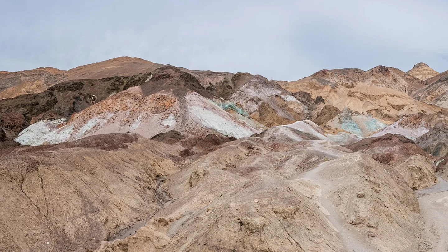 Christian David · CC BY-SA 4.0 ↗
Artists Palette
Along the one-way Artists Drive, a hillside erupts in pastel — pink, mint green, lavender, and gold splashed across the rock. The colors come from weathered volcanic minerals: iron oxides for the reds and pinks, mica and chlorite for the greens, manganese for the purples. It looks painted, but every hue is pure chemistry.
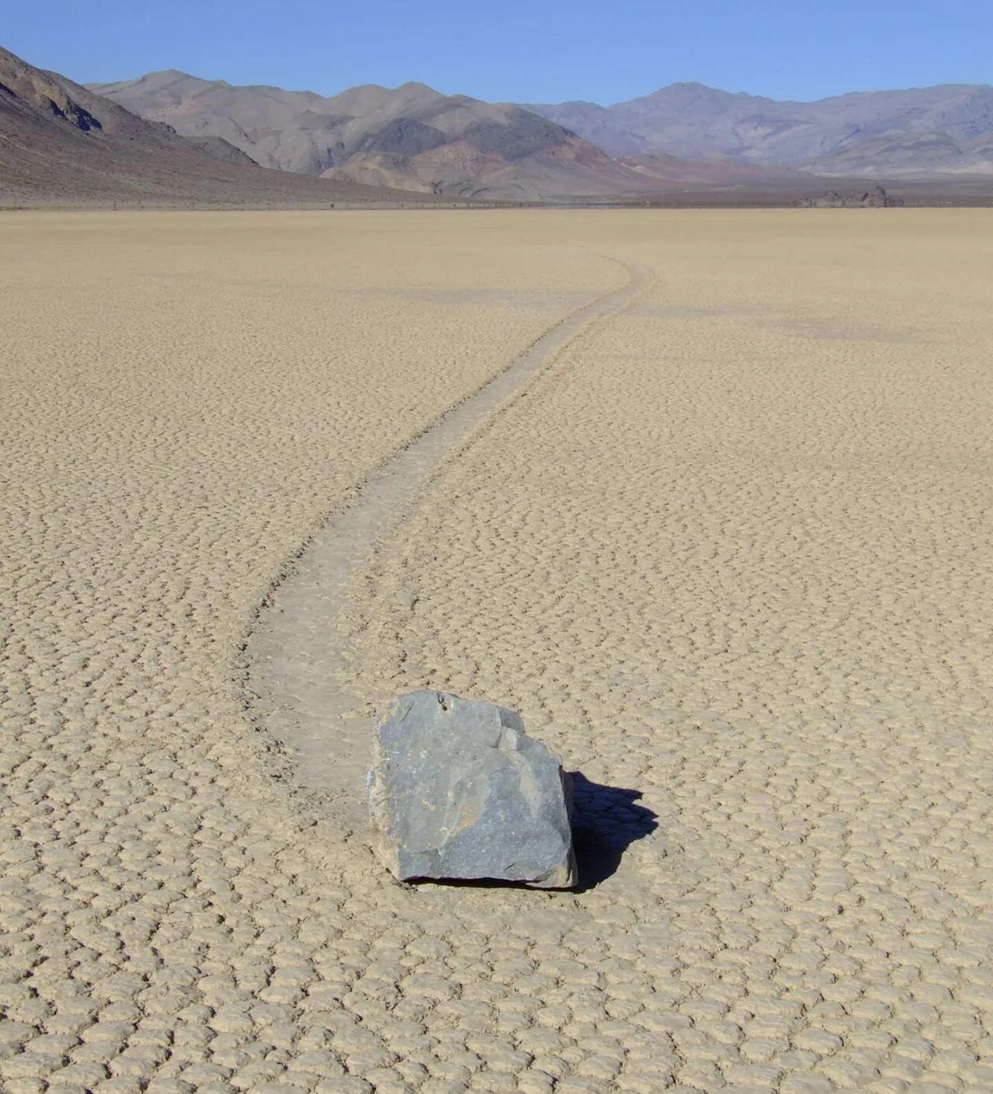 Lgcharlot · CC BY-SA 4.0 ↗
The Sailing Stones
On the remote, perfectly flat Racetrack Playa, heavy rocks leave long trails carved across the cracked mud — yet no one ever sees them move. The mystery held for decades. Time-lapse cameras finally solved it: on rare freezing nights, thin sheets of ice form, then break up in morning sun and, nudged by a light breeze, glide the stones along the slick mud, etching their tracks.
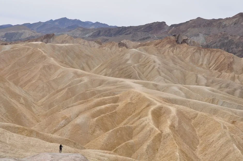 Pexels · A breathtaking aerial shot of Death Valley's arid desert landscape with rugged terrain and distant mountains. ↗
Still Sinking
Death Valley owes its depth to being a graben — a block of crust sinking between two faults as the region stretches and pulls apart. The valley is still deepening today.
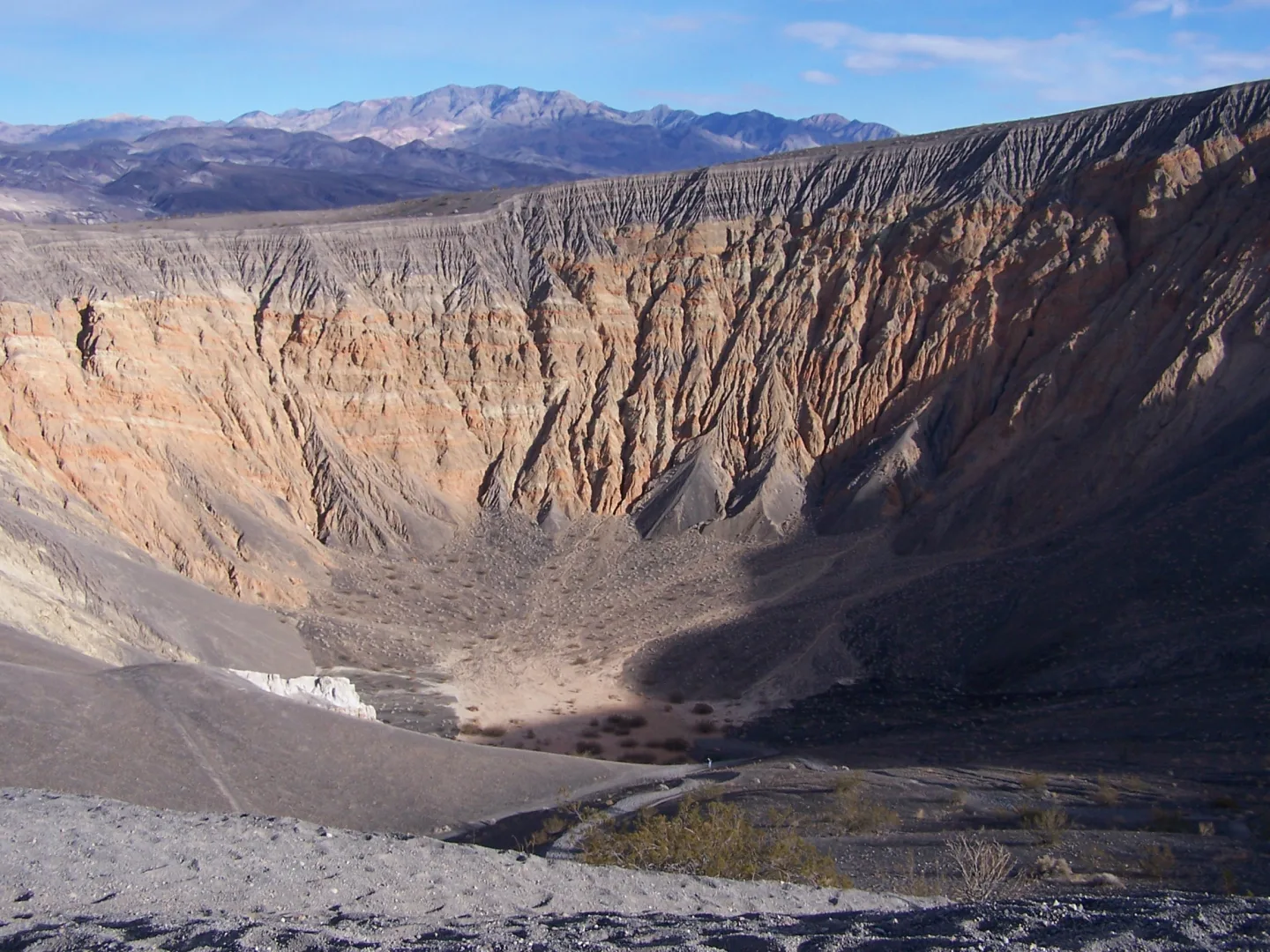 Wikimedia Commons · Jim Gordon · CC BY 2.0 ↗
Ubehebe Crater
Only a few thousand years ago, rising magma flashed underground water into steam, and the resulting explosion blasted out the half-mile-wide, roughly 600-foot-deep Ubehebe Crater.
 Pexels · Close-up of cracked, dry earth in Death Valley showcasing the arid geology. ↗
The Timbisha Shoshone
Long before it had a fearsome name, this was — and is — home. The Timbisha Shoshone have lived in the valley for over a thousand years, calling it Tümpisa, after the red ochre paint made from local clay. They still live here; their reservation lies within the park, near Furnace Creek, a rare arrangement where a tribe's ancestral homeland sits inside a national park.
1 / 10Which superlative does Death Valley NOT hold?
Death Valley is the driest place in North America (about 2 inches of rain a year), not the wettest. It genuinely is the lowest, hottest, and largest contiguous park all at once.
Lesson 21 has 62 cards. Keep going in the free app.
Question
The Heat Machine 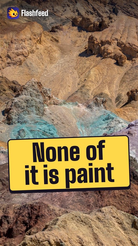
Artists Palette 
Shadows by Starlight All 33 clips on YouTube ↗Transcripts
The Heat Machine
In summer, the ground in Death Valley can top 200 degrees Fahrenheit. Why? The valley is a near-perfect heat machine.
Sunlight bakes the dark, barren floor. Hot air rises and cools slightly. Then it sinks, compressing and warming as it drops.
Steep walls trap that air. The basin sits below sea level. It holds the heat like the bottom of a bowl.
That's why the world heat record was set here.
Artists Palette
A hillside in Death Valley looks splashed with paint: pink, mint green, lavender and gold. None of it is paint.
The colors come from weathered volcanic minerals. Iron oxides tint the reds and pinks. Mica and chlorite make the greens. Manganese makes the purples.
No plants cover the rock, so the chemistry sits in plain view.
It's called Artists Palette. The colors deepen most in the late afternoon.
Shadows by Starlight
On a moonless night in Death Valley, starlight alone can cast your shadow.
Death Valley is one of the nation's largest Dark Sky Parks. It's certified at the Gold Tier, the highest rating.
It sits far from any city's glow. Surrounding mountains shield it. The Milky Way shows in full, brilliant detail.
Dry, cloudless air makes the days hot. The same air makes the nights crystal clear.
-
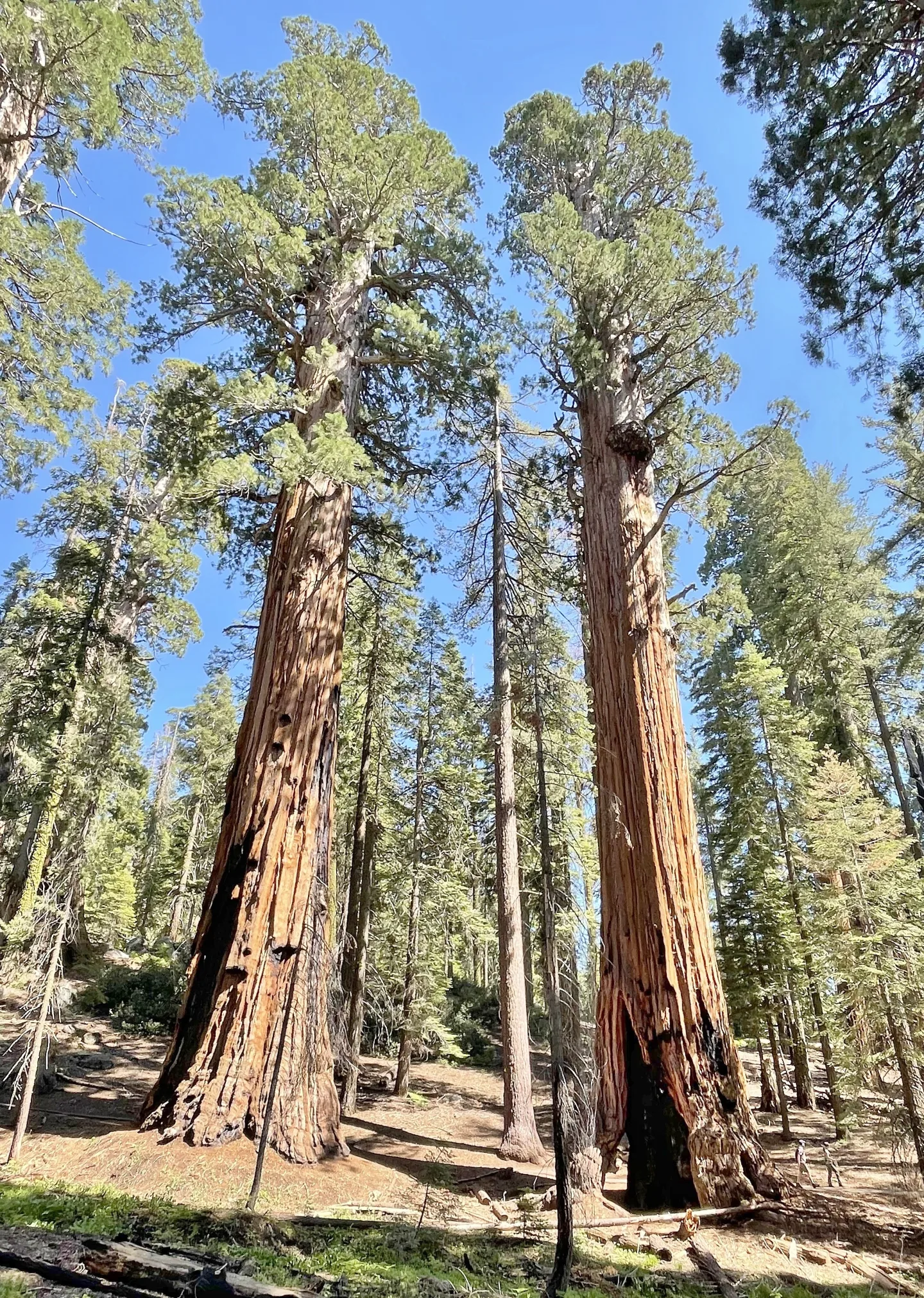 Wikimedia Commons · Marty Aligata · CC BY-SA 4.0 ↗22
Spotlight: Sequoia
The Biggest Trees on Earth · Roof of the Lower 48 · Visiting Sequoia
Lesson 22 · 10 cardsWikimedia Commons · Marty Aligata · CC BY-SA 4.0 ↗The Giant Sequoia
Giant sequoias are the largest living things on Earth by volume — not the tallest (coast redwoods win that) nor the oldest (bristlecone pines do), but the most massive. They grow only on the western slopes of California's Sierra Nevada, in scattered groves between about 4,500 and 7,000 feet. A mature giant can weigh more than a thousand tons and live two to three thousand years.
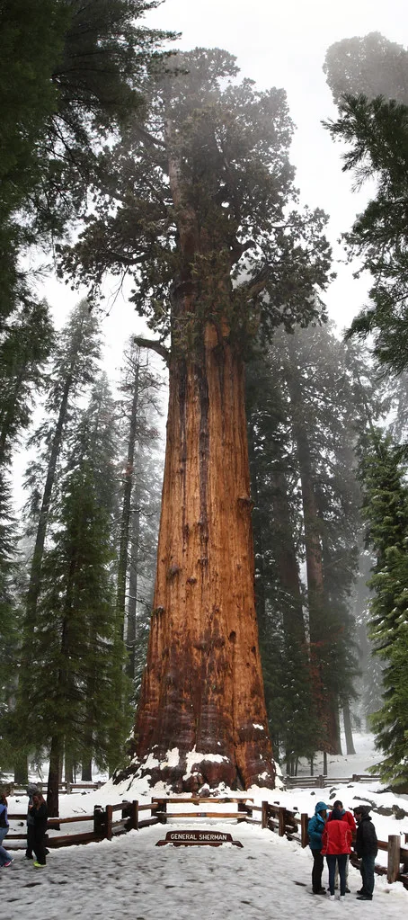 MarkDoliner (Openverse) · by-sa 2.0 ↗
General Sherman
The General Sherman Tree is the largest single-stem tree on Earth by volume — roughly 52,500 cubic feet of wood. It stands about 275 feet tall with a base diameter near 36 feet, and is estimated at around 2,200 years old. It isn't the tallest or the widest tree alive, but no other living thing packs more wood into one trunk.
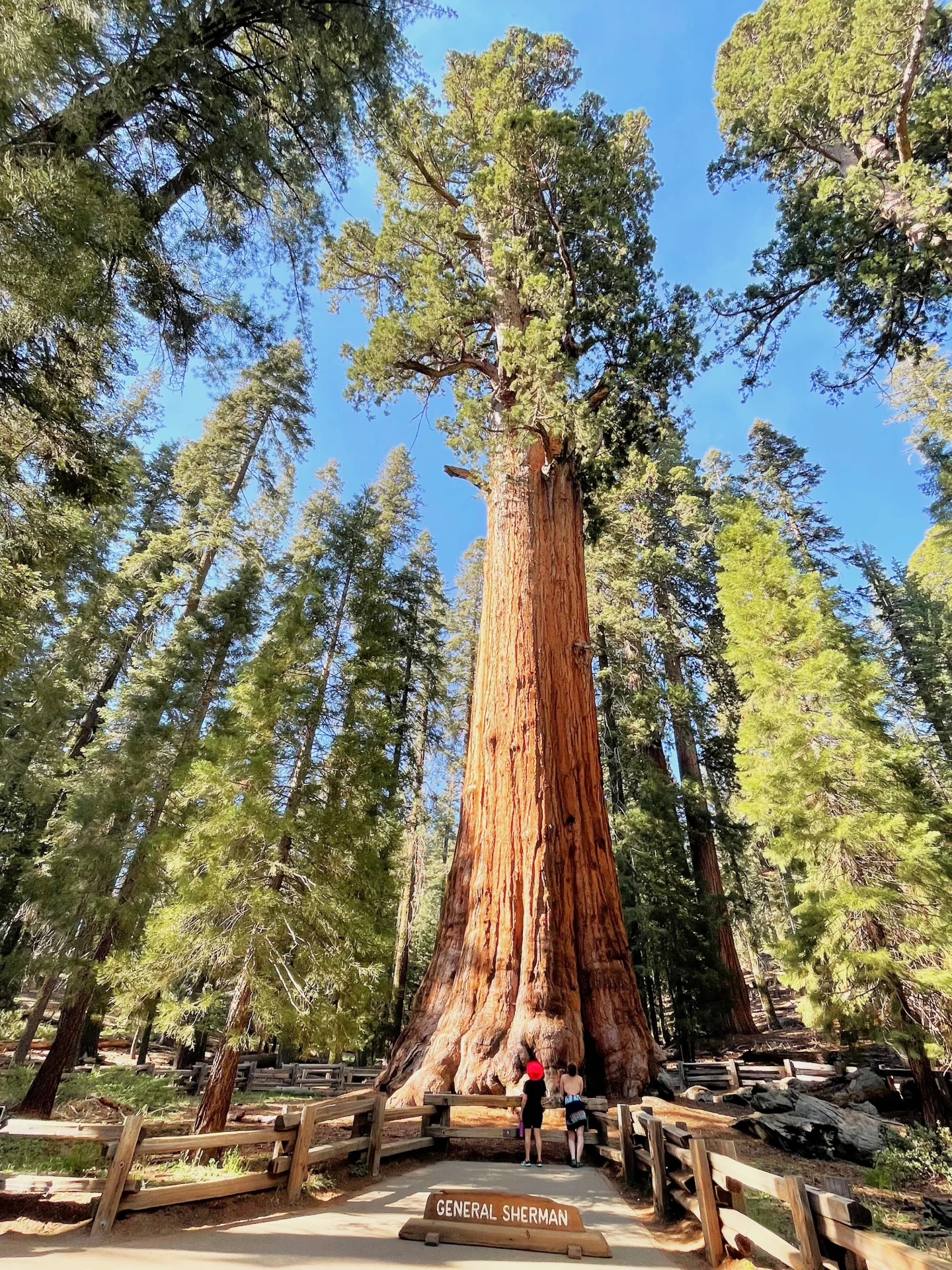 Wikimedia Commons · Marty Aligata · CC BY-SA 4.0 ↗
The Giant Forest
The Giant Forest is Sequoia's crown jewel of groves — home to five of the ten largest trees on Earth, including General Sherman. Naturalist John Muir named it in 1875, calling it the grandest sequoia grove he had seen. A network of trails, including the Congress Trail, threads among these ancient giants.
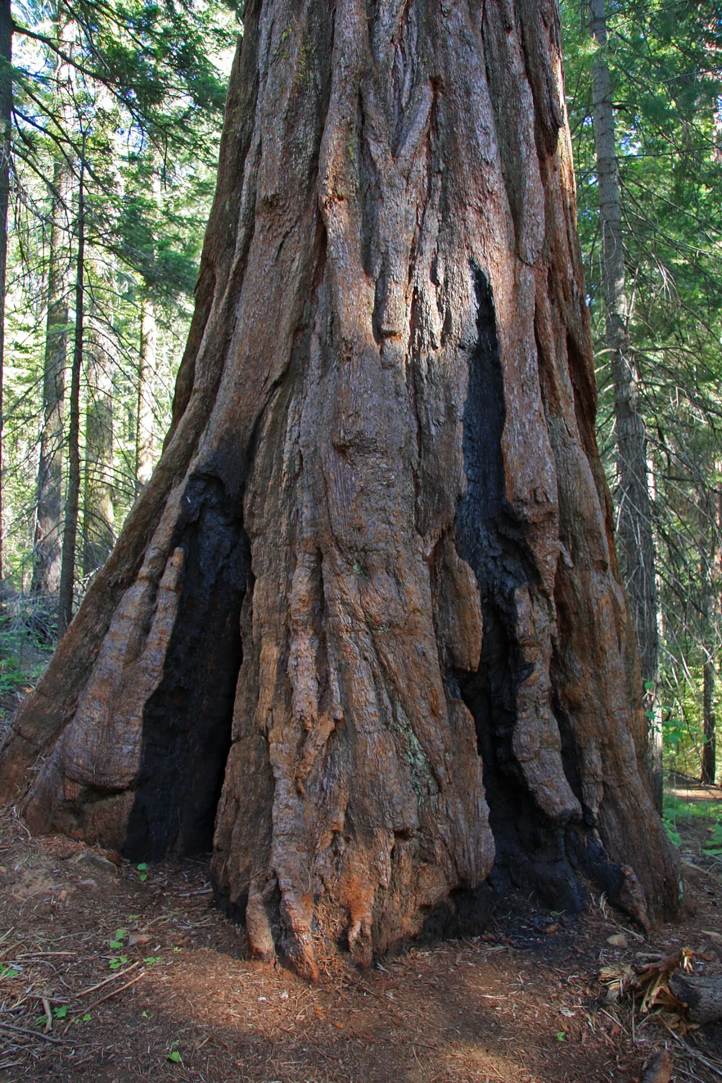 Dcrjsr · CC BY 3.0 ↗
Trees That Need Fire
Giant sequoias are nearly fireproof — their thick, tannin-rich bark resists flame — and they actually depend on fire to survive as a species. Heat from a passing wildfire dries and opens their cones, releasing seeds onto bare, ash-cleared soil where seedlings can take root. Decades of well-meaning fire suppression starved the groves of new growth, a lesson that reshaped how the parks manage fire.
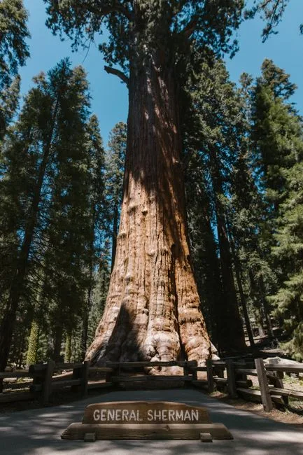 Pexels · Majestic view of General Sherman tree, the world's largest tree by volume, in Sequoia National Park. ↗
Not Even the Tallest
The General Sherman Tree stands roughly 275 feet tall, but height isn't its record — coast redwoods grow taller. What makes it the largest tree on Earth is the sheer volume of wood packed into its single trunk.
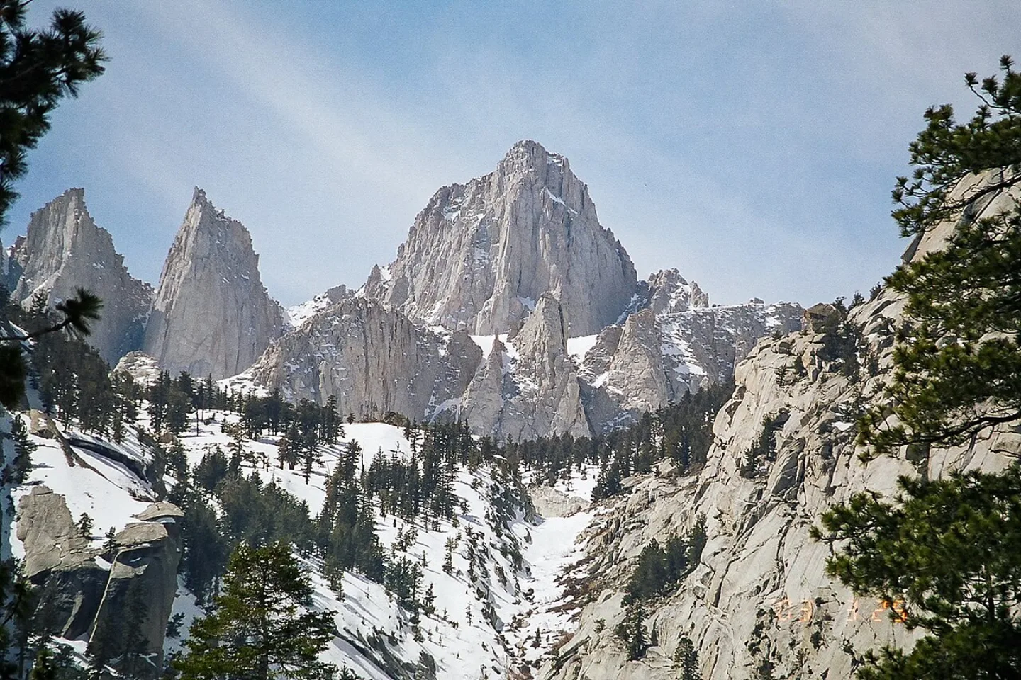 Geographer (talk · contribs) · CC BY 1.0 ↗
Mount Whitney
Rising 14,505 feet on Sequoia's eastern boundary, Mount Whitney is the highest peak in the contiguous United States — the literal roof of the lower 48. Its bare granite summit is the high point of the Sierra Nevada batholith. The classic route is a grueling ~22-mile round trip that requires a hard-won wilderness permit.
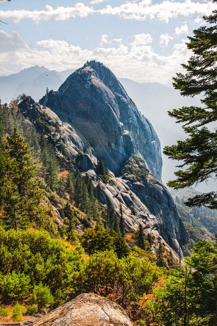 Pexels · Moro Rock in Sequoia National Park, showcasing stunning granite formations and lush greenery. ↗
Moro Rock
Moro Rock is a great granite dome jutting from the forested ridge, reached by a stairway of more than 350 steps carved and built into the stone in the 1930s. From the top, a sweeping panorama opens over the Great Western Divide and the deep canyon of the Middle Fork Kaweah River — a half-mile climb that rewards far beyond its length.
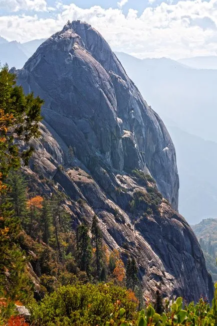 Pexels · Majestic Moro Rock stands tall amidst lush greenery in Sequoia National Park, California. ↗
Over 350 Steps
During the New Deal in the 1930s, Civilian Conservation Corps crews carved and built the more-than-350-step stairway into Moro Rock's granite dome, opening a half-mile climb to sweeping views of the Great Western Divide.
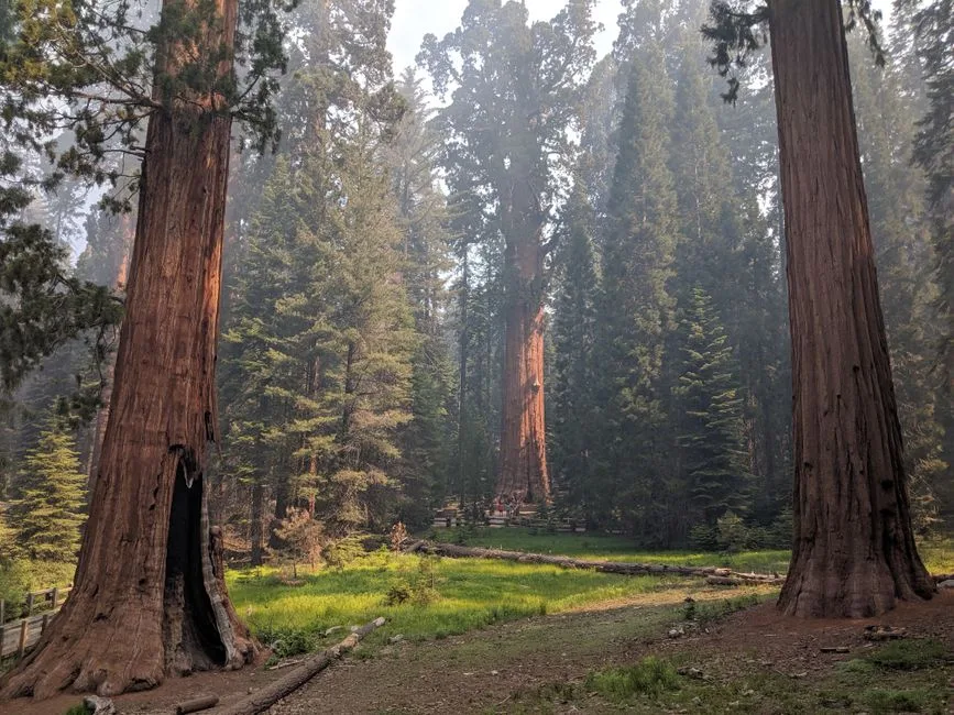 Pexels · Peter B · Pexels License ↗
The Congress Trail
Most visitors meet General Sherman first, then loop the Congress Trail — a paved two-mile path through the heart of the Giant Forest. It passes named groves like the House and the Senate, clusters of giants standing shoulder to shoulder, and the President Tree. It's the easiest way to walk among the largest living things on the planet.
1 / 10What record do giant sequoias hold among all the trees on Earth?
Giant sequoias are the most massive trees on Earth by volume. They aren't the tallest (that's the coast redwoods) nor the oldest (bristlecone pines) nor the widest — their record is sheer bulk of wood.
Lesson 22 has 61 cards. Keep going in the free app.
Question -
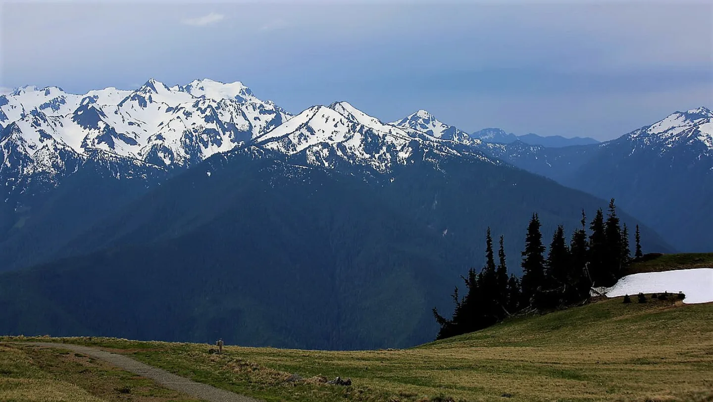 Richard Probst · CC BY 2.0 ↗23
Spotlight: Olympic
Three Parks in One · Rainforest and Rugged Coast · Visiting Olympic
Lesson 23 · 10 cards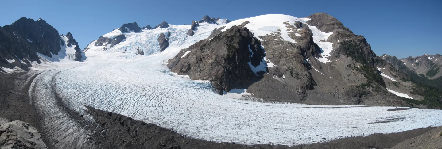 Wikimedia Commons · Aaron Linville · CC BY-SA 4.0 ↗
Mount Olympus
The park's high point, Mount Olympus, tops out at 7,980 feet — modest by Cascade standards, yet so storm-battered and snow-fed that more than 60 glaciers cling to the Olympic Mountains. The range is built of marine sedimentary rock, scraped up off the seafloor and crumpled skyward as one tectonic plate dives beneath another. Reaching the summit's Blue Glacier is a long, committing backcountry trek, not a day hike.
Richard Probst · CC BY 2.0 ↗Olympic National Park
On Washington's Olympic Peninsula sits one of America's most varied parks — three wild worlds stitched into one. Glacier-capped peaks crowned by Mount Olympus (7,980 ft) give way to the dripping temperate rainforest of the Hoh, and finally to ~73 miles of fog-wrapped Pacific coastline. Protected as a national monument in 1909 and a national park in 1938, its ~922,650 acres rank 13th among U.S. parks. About 3.7 million people visited in 2024.
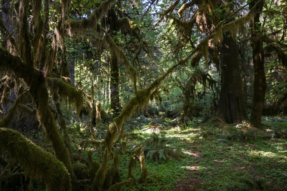 Pexels · Daniel Erlandson · Pexels License ↗
Three Parks in One
Olympic's fame rests on a single, almost improbable claim: in one park you can touch a glacier, walk through a rainforest, and stand on a wild ocean beach — often on the same day. Glaciated peaks, temperate rainforest, and ~73 miles of undeveloped Pacific coast each form a distinct realm with its own weather, plants, and wildlife. That sweep of ecosystems is why Olympic carries two UNESCO honors: it is both a Biosphere Reserve and a World Heritage Site.
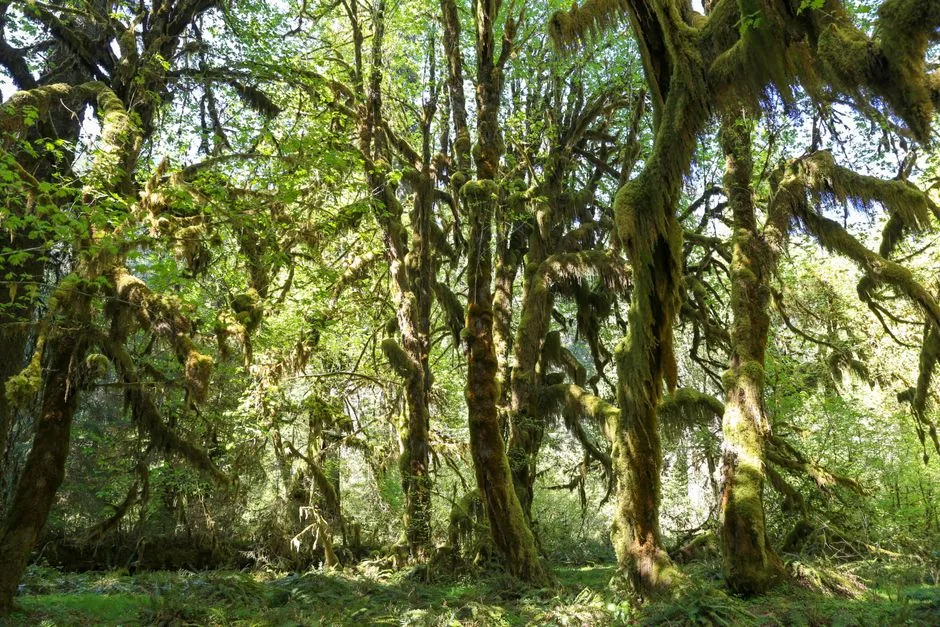 Pexels · Lush green landscape of moss-covered trees in Hoh Rainforest, Olympic National Park, Washington. ↗
922,650 Acres
Olympic National Park covers roughly 922,650 acres, making it the 13th-largest national park in the United States.
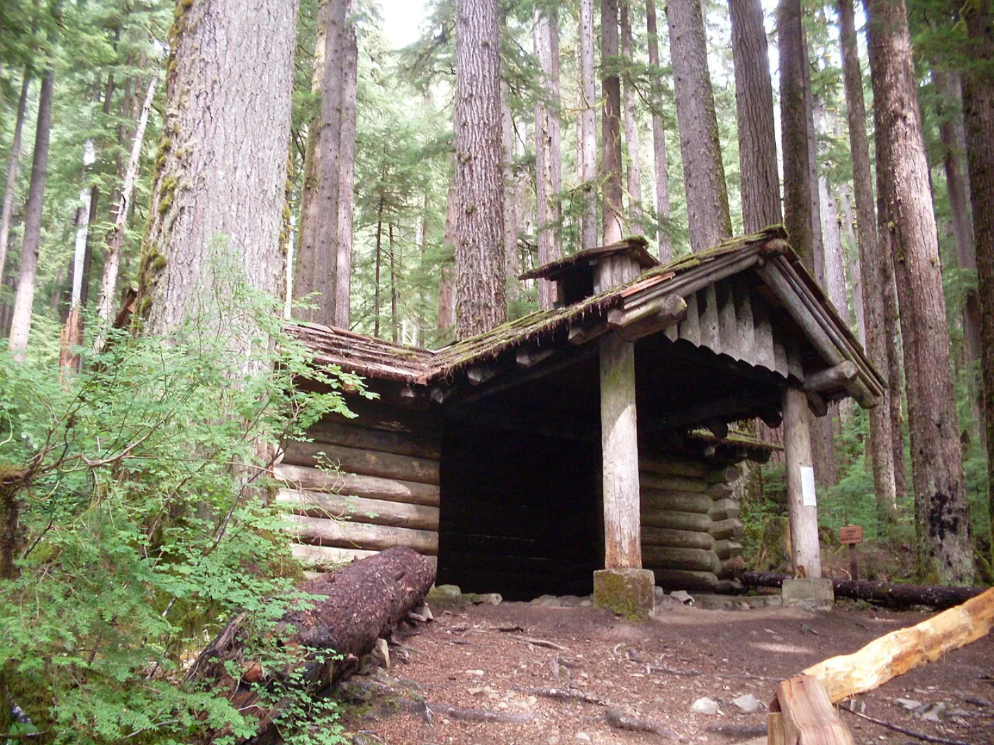 Wikimedia Commons · Bigfathairymarmot at English Wikipedia · Public domain ↗
Two International Honors
Olympic National Park is recognized as both a UNESCO Biosphere Reserve and a World Heritage Site, prized for its intact wildness.
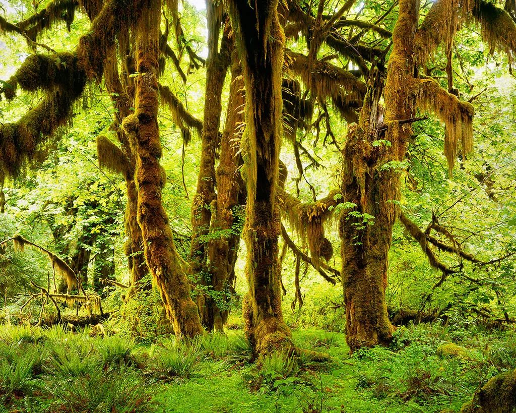 Wikimedia Commons · Doug Dolde · CC BY-SA 3.0 ↗
The Hoh Rain Forest
Tucked in a western valley, the Hoh Rain Forest is one of the wettest places in the contiguous United States, soaking up roughly 12 to 14 feet of rain a year. The result is a cathedral of green: Sitka spruce and western hemlock towering 200-plus feet, every trunk and branch draped in club moss and ferns. The easy Hall of Mosses loop, about 0.8 miles, threads through this dripping, emerald world.
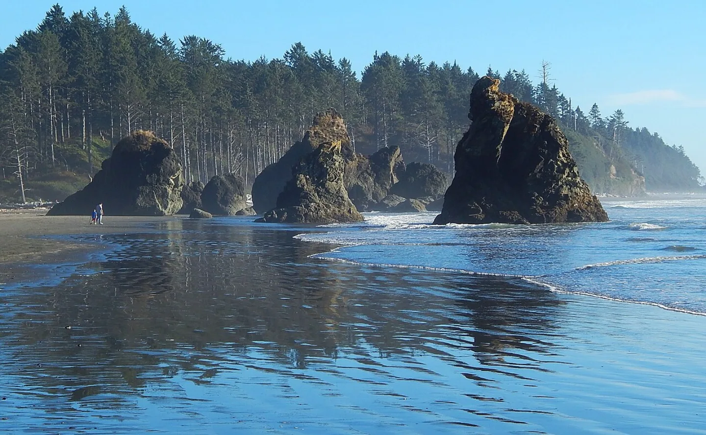 Ron Clausen · CC BY-SA 4.0 ↗
The Wild Coast
Olympic's coastal strip is one of the longest stretches of wilderness shoreline left in the Lower 48 — driftwood-strewn beaches, fog, and surf-pounded sea stacks rising offshore like ruined towers. Rialto Beach and Ruby Beach are the famous frames, their tide pools alive with sea stars, anemones, and urchins at low water. Unlike the mountains and rainforest, the coast is visitable year-round, though almost always wet.
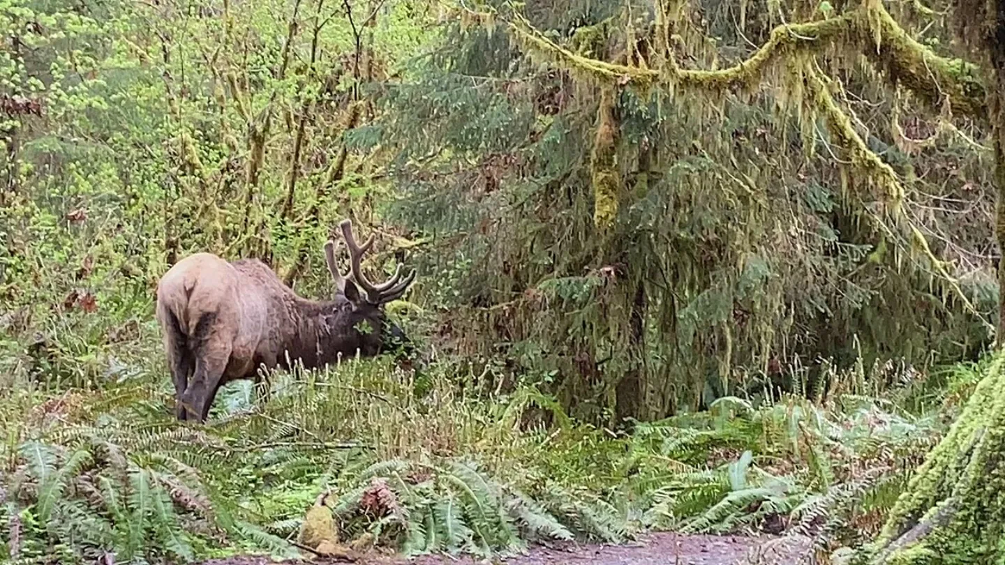 USFWS Pacific · Public domain ↗
Roosevelt Elk
The largest of North America's elk, Roosevelt elk graze the Hoh and Quinault valleys in herds, and their grazing helps keep the rainforest understory open and park-like. Protecting them was a driving reason the park exists — the herds were so central to the cause that the park was nearly named for the elk rather than the mountains. They share these forests with black bears, bald eagles, and the tide-pool life of the coast.
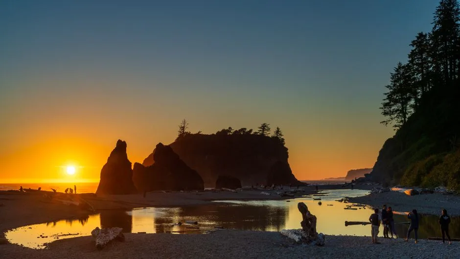 Pexels · Capture of Ruby Beach at sunset with silhouettes and reflections, showcasing the iconic sea stacks. ↗
The Postcard Shot
Ruby Beach is celebrated as Olympic National Park's postcard image of offshore sea stacks and tide pools, distinct from the mountain overlook at Hurricane Ridge or the waterfall at Sol Duc Falls.
1 / 10How many glaciers cling to the Olympic Mountains, fed by relentless Pacific storms?
More than 60 glaciers cling to the range. Storm-fed snow buries Mount Olympus despite its modest 7,980-foot height.
Lesson 23 has 71 cards. Keep going in the free app.
Question -
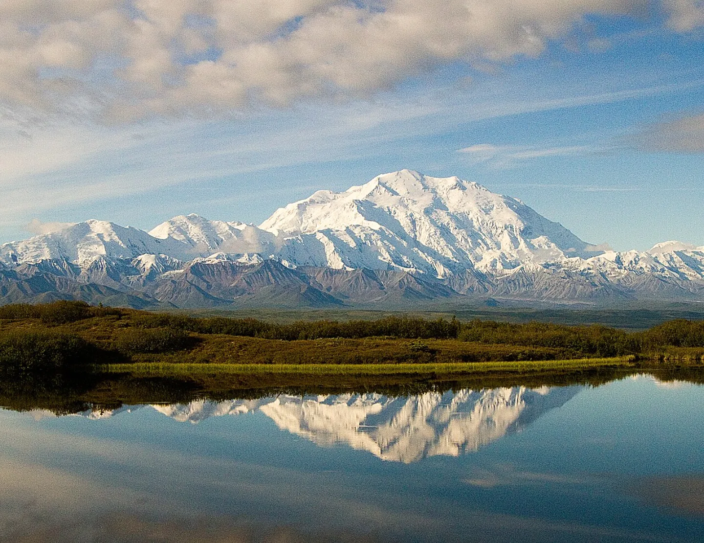 Denali National Park and Preserve · Public domain ↗24
Spotlight: Denali
The High One · Subarctic Wilderness · Visiting Denali
Lesson 24 · 10 cards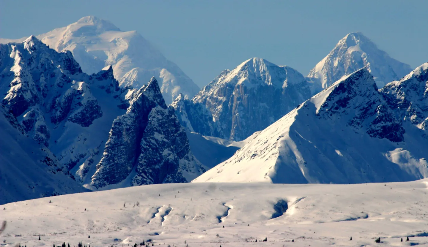 Wikimedia Commons · Frank K. from Anchorage, Alaska, USA · CC BY 2.0 ↗
The Alaska Range
Denali anchors the Alaska Range, the arcing mountain chain that rises along the Denali Fault and sweeps across Alaska's interior.
Denali National Park and Preserve · Public domain ↗Denali
At 20,310 feet, this is the highest peak in North America — a glacier-clad giant looming over six million acres of subarctic Alaska. Its Koyukon Athabascan name, Denali, means "the high one." The federal government made Denali the official name in 2015; a January 2025 executive order changed the federal name back to Mount McKinley, while the park is still Denali National Park and Preserve. The mountain makes its own brutal weather and is usually wrapped in cloud.
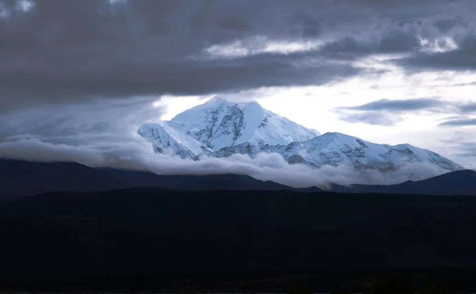 Pexels · A stunning view of Denali Peak with clouds parting to reveal its snowcapped summit in Alaska. ↗
Two Names for One Peak
Mount McKinley was the peak's official federal name until 2015, when Denali became official. A January 2025 executive order changed the federal name back to Mount McKinley; the park is still Denali National Park and Preserve.
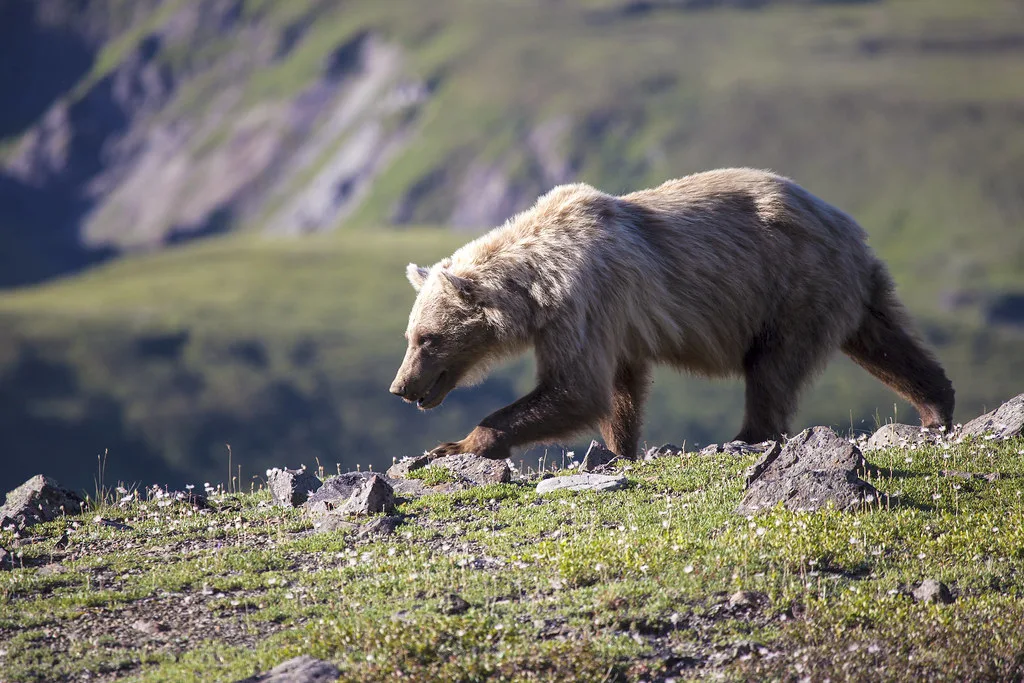 DenaliNPS (Openverse) · by 2.0 ↗
The Big Five
Denali's wildlife headliners are the "Big Five": grizzly bears, caribou, moose, Dall sheep, and gray wolves. The park was originally created in 1917 to protect Dall sheep from market hunters. Because hunting is barred and the landscape is open tundra, animals here are visible and behave naturally — Denali is one of the best places in North America to watch wildlife from a respectful distance.
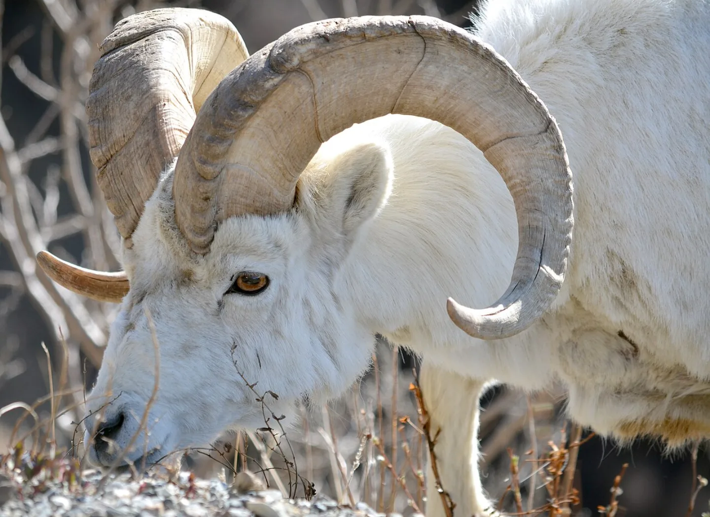 Denali National Park and Preserve · Public domain ↗
Denali's First Purpose
Denali was first set aside in 1917 as a refuge for Dall sheep, whose herds were being thinned by market hunters supplying nearby mining camps.
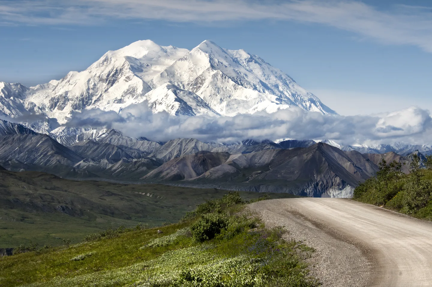 Wikimedia Commons · Denali National Park and Preserve · Public domain ↗
Just One Road
A single road roughly 92 miles long is the only route into Denali's roughly six-million-acre wilderness.
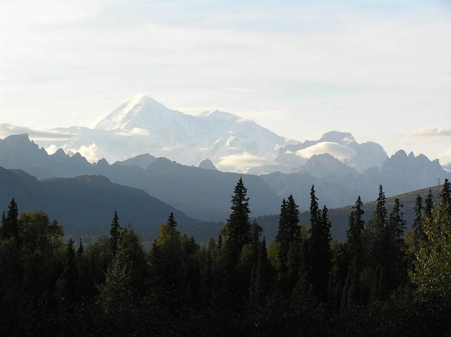 Wikimedia Commons · Dubhe · CC BY 2.5 ↗
Bigger Than New Hampshire
Denali covers roughly six million acres of subarctic wilderness, an area larger than the state of New Hampshire.
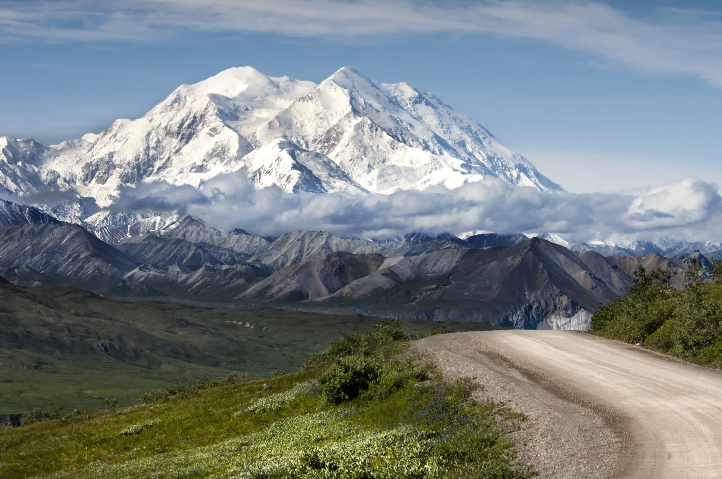 Wikimedia Commons · Denali National Park and Preserve · Public domain ↗
The 30% Club
Denali is so big it makes its own weather, pulling clouds around itself even on otherwise clear days. Only about 30% of summer visitors ever see the full peak. Those who do are unofficially welcomed into the "30% Club." The lesson for travelers: give yourself several days and don't count on a single lucky glimpse.
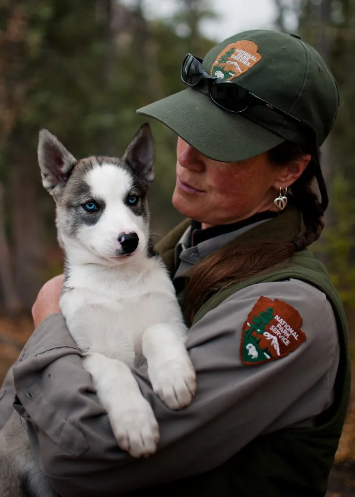 Mind on Fire Photography (Openverse) · by-sa 2.0 ↗
The Sled Dog Kennel
Denali runs the only working sled-dog kennel in the entire National Park System. In winter, when the snow shuts out vehicles, rangers patrol the wilderness by dog team just as they have for a century. In summer, the friendly Alaskan huskies meet visitors at daily kennel demonstrations — a living link to how this country was first managed.
 Pexels · Shuttle bus serving Sequoia National Park on a sunny day, showcasing public transportation in natural surroundings. ↗
Keeping Wildlife Calm
Private vehicles on the Denali park road are limited to its first stretch; beyond that, nearly everyone travels by park bus, which keeps traffic light and wildlife calm.
1 / 10What is the elevation of Denali's summit, the highest point in North America?
Denali's summit stands at 20,310 ft. 18,000 ft is its base-to-summit rise, not its elevation; 29,032 ft is Everest, which is higher above sea level.
Lesson 24 has 69 cards. Keep going in the free app.
Question -
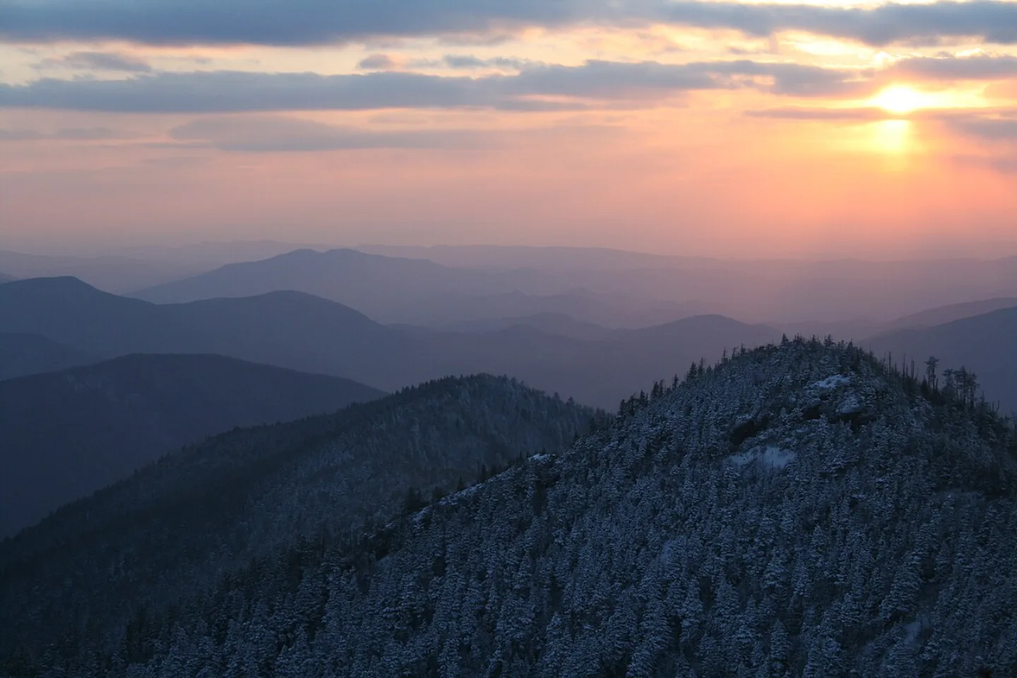 Aviator31 · Public domain ↗25
Spotlight: Great Smoky Mountains
The Blue Smoke Mountains · Forests, Fireflies & Heritage · Visiting the Smokies
Lesson 25 · 10 cards Pexels · Juliane Richards · Pexels License ↗
Salamander Capital of the World
With over 19,000 documented species and estimates of 80,000 or more, Great Smoky Mountains holds the title of most biodiverse U.S. national park, earning it the nickname "Salamander Capital of the World."
Aviator31 · Public domain ↗The Blue Smoke
The Smokies earn their name from a perpetual blue haze that drapes the ridges — and the forest makes it. The dense vegetation exhales volatile organic compounds that scatter blue light, blending with natural fog into the smoke-like veil the Cherokee called Shaconage, "place of the blue smoke." Straddling the Tennessee–North Carolina border across ~522,400 acres, Great Smoky Mountains National Park is the most-visited and most biodiverse national park in the United States.
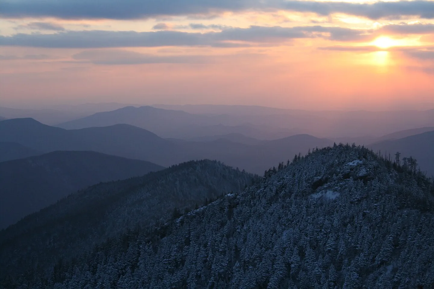 Aviator31 · Public domain ↗
Among Earth's Oldest Mountains
These rounded, gentle summits are the worn-down stumps of a once-Himalayan range. Roughly 480 to 300 million years ago, colliding continents crumpled this rock skyward as the supercontinent Pangaea assembled. Hundreds of millions of years of rain and rivers have since ground the peaks smooth — what you see today are the ancient roots of mountains that once scraped the sky. The soft, billowing skyline is the signature of deep geologic time.
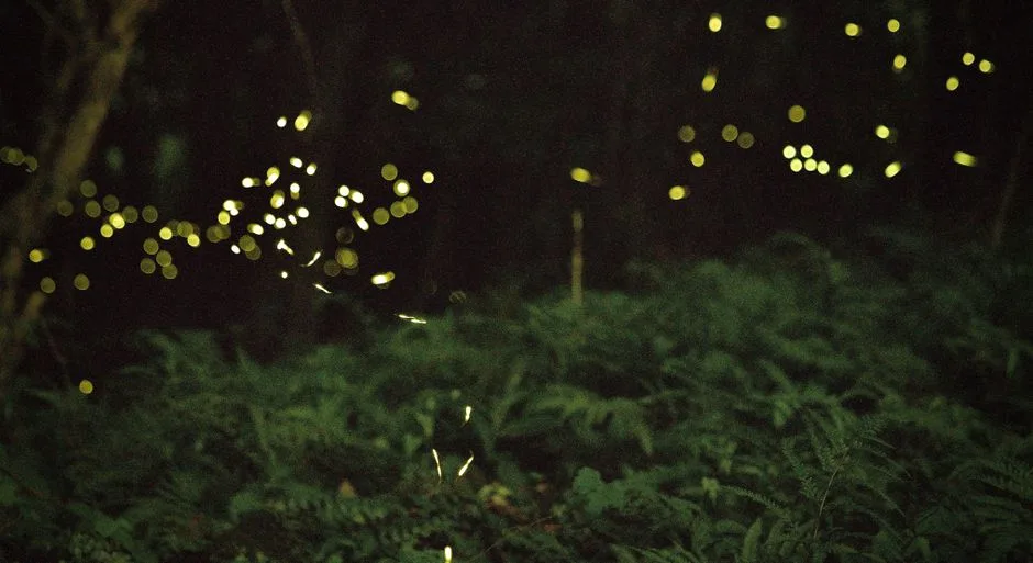 Pexels · marclyc li · Pexels License ↗
Synchronous Fireflies
For a couple of weeks in late spring, the Smokies host one of nature's rarest light shows: thousands of Photinus carolinus fireflies that blink in unison, sending waves of light pulsing through the dark forest. It's one of only a few places on Earth where this species synchronizes. Demand is so high the park runs a lottery for viewing spots near Elkmont in early June. Scientists still aren't certain exactly why the beetles flash together.
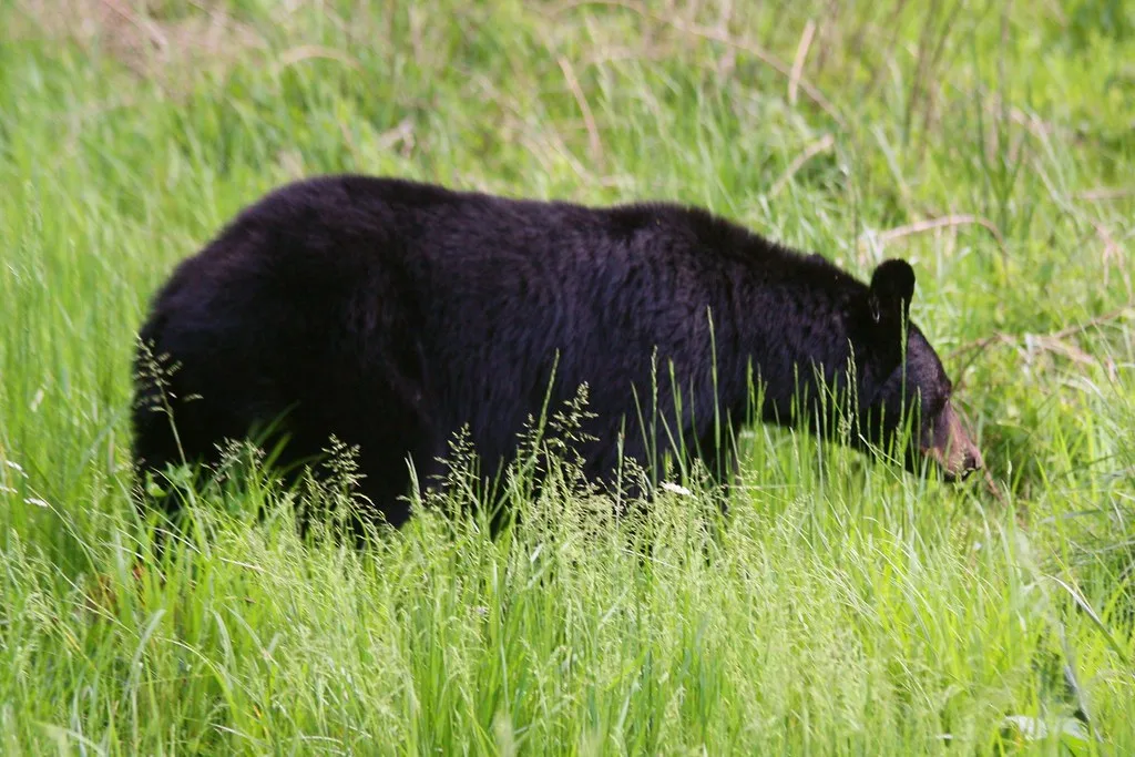 N Vision Photos (Openverse) · by 2.0 ↗
Black Bear Stronghold
The Smokies are black bear country at its densest — roughly 1,900 bears roam the park, about two per square mile, one of the densest populations anywhere in the country. The bears thrive on the forest's acorns, berries, and nuts, and the park is a symbol of their comeback in the East. Sightings are common in places like Cades Cove, where bears amble through the meadows. Storing food and keeping your distance is the rule of the land.
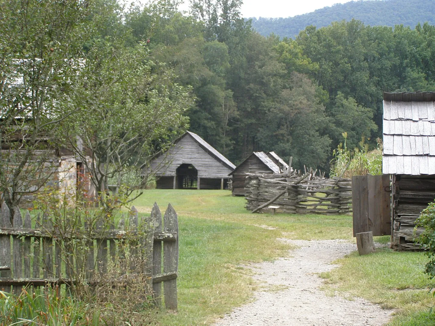 Chris Light · CC BY-SA 4.0 ↗
Cherokee Homeland
These mountains are the ancestral homeland of the Cherokee (Tsalagi). In 1838 most were forced west on the Trail of Tears, but some resisted and remained; their descendants, the Eastern Band of Cherokee, still live on the adjacent Qualla Boundary at the park's southern edge. Cherokee place-names, stories, and stewardship are woven through the land. At the Oconaluftee entrance, a preserved Appalachian farmstead tells a parallel story of the mountain settlers who farmed these coves.
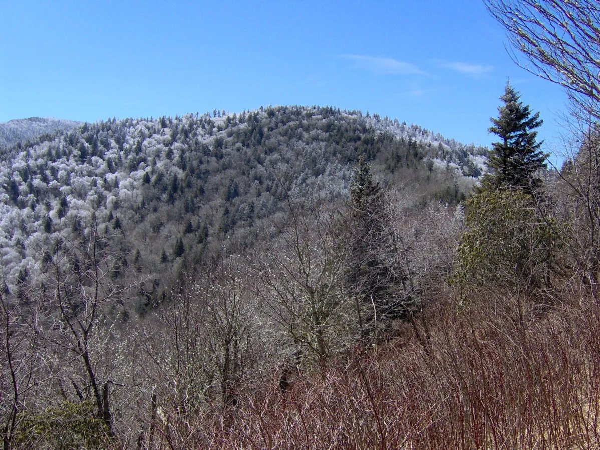 Wikimedia Commons · Brian Stansberry · CC BY 2.5 ↗
An Ice-Age Relic
A spruce-fir forest more typical of Canada grows near the Smokies' highest summits, an Ice-Age relic stranded on the coldest peaks when the glaciers retreated. It's part of why the park stacks five distinct forest types by elevation.
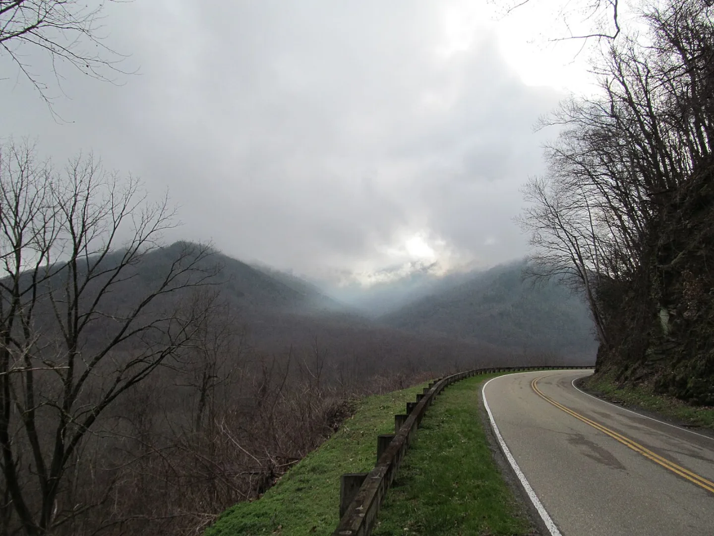 John Phelan · CC BY-SA 3.0 ↗
The Most-Visited Park
Great Smoky Mountains is, by a wide margin, the most-visited national park in America — 12.19 million people came in 2024, more than the next two parks combined. Its location within a day's drive of much of the eastern U.S., its free entry, and its endless ridgelines draw crowds year-round. The trade-off is traffic: Cades Cove and Newfound Gap Road can crawl bumper-to-bumper on peak fall weekends.
1 / 10What nickname has the Smokies earned for hosting 30-plus species of one small, tailed amphibian?
With 30-plus salamander species, the Smokies are nicknamed the 'Salamander Capital of the World.' Salamanders are the tailed amphibians behind the title.
Lesson 25 has 79 cards. Keep going in the free app.
Question -
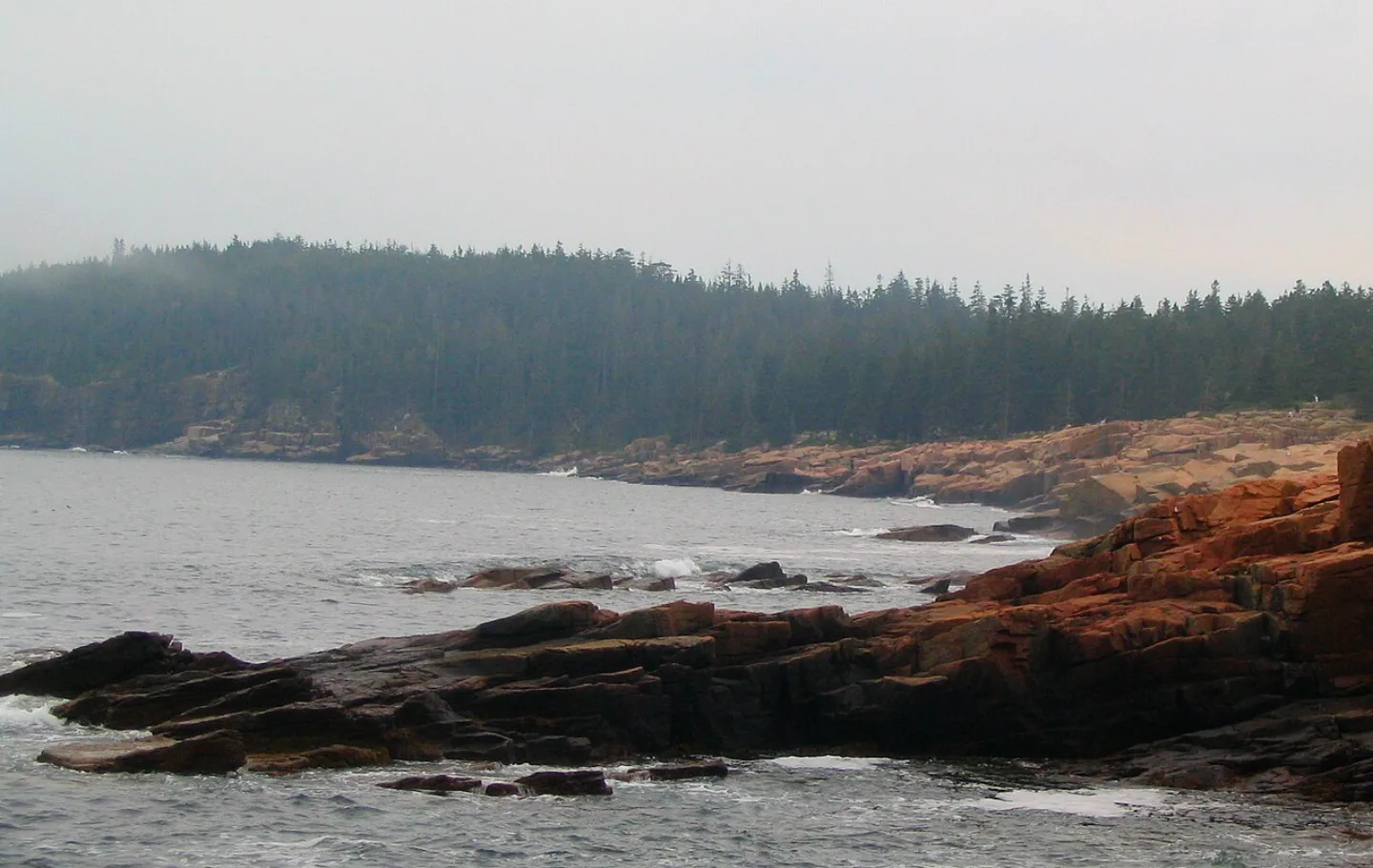 Ken Lund · CC BY-SA 2.0 ↗26
Spotlight: Acadia
Where the Mountains Meet the Sea · Carriage Roads & Coast
Lesson 26 · 9 cardsKen Lund · CC BY-SA 2.0 ↗Acadia
On Mount Desert Island in coastal Maine, glacier-carved pink granite domes plunge straight into the cold Atlantic. Acadia was the first national park east of the Mississippi (1919) and the first created from donated private land. At ~49,000 acres it's compact — but it crams sea cliffs, fjard, forest, and a 1,530-foot granite summit into a place you can loop in a day.
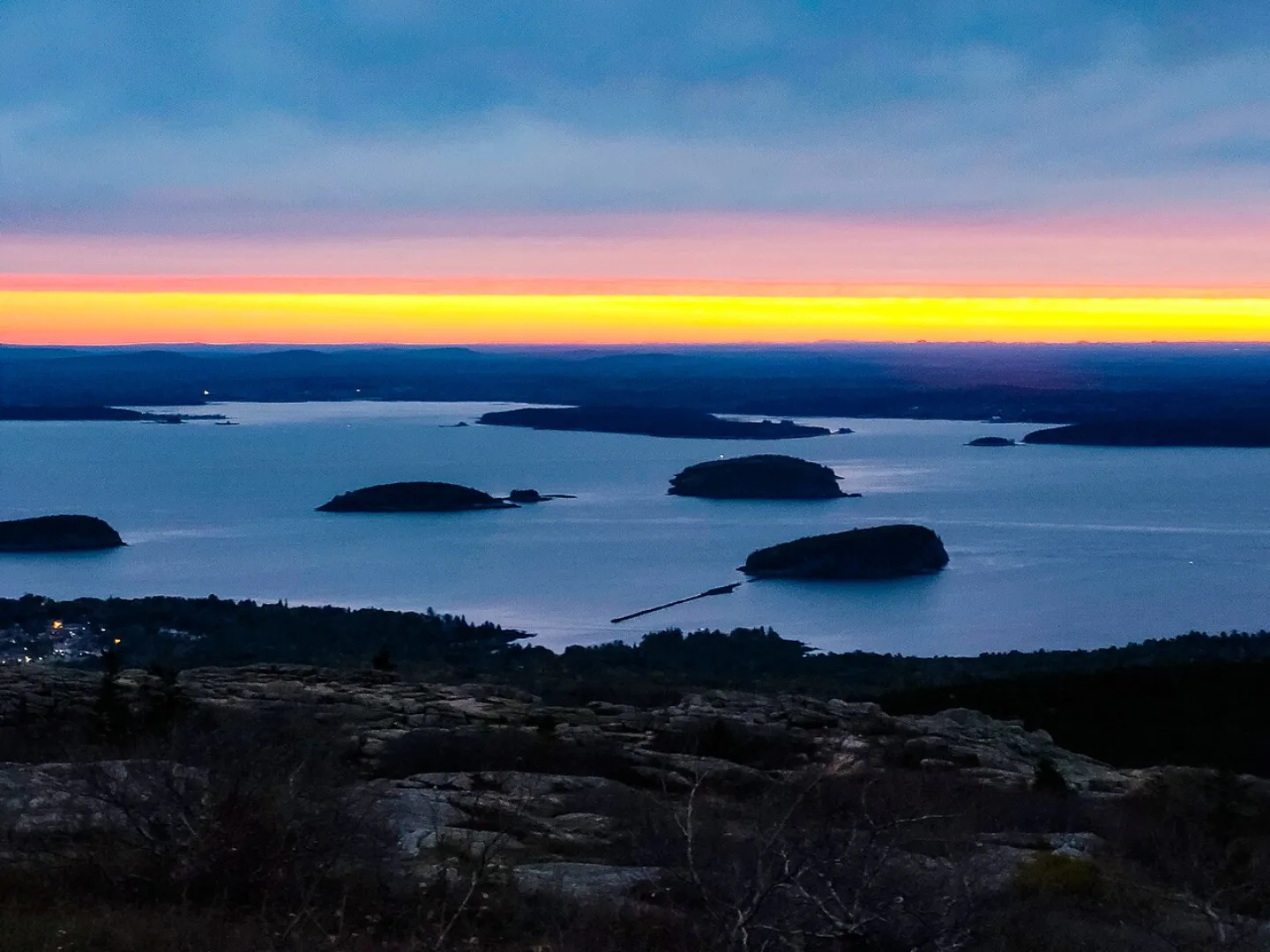 John Manard · CC BY-SA 2.0 ↗
Cadillac Mountain
Cadillac Mountain rises 1,530 feet — the highest point on the eastern seaboard of the U.S. Because it stands so far east and so high, from early October to early March it is the first place in the United States to see the sunrise. Crowds gather at the bare granite summit before dawn; in peak season you need a timed vehicle reservation just to drive up.
 James St. John · CC BY 2.0 ↗
Somes Sound
A long arm of seawater nearly splits Mount Desert Island in two. Somes Sound is often called the only true fjord on the U.S. East Coast — though geologists note it's really a fjard, a shallower glacier-carved inlet. Either way, the steep granite walls dropping into deep saltwater are pure Ice Age handiwork.
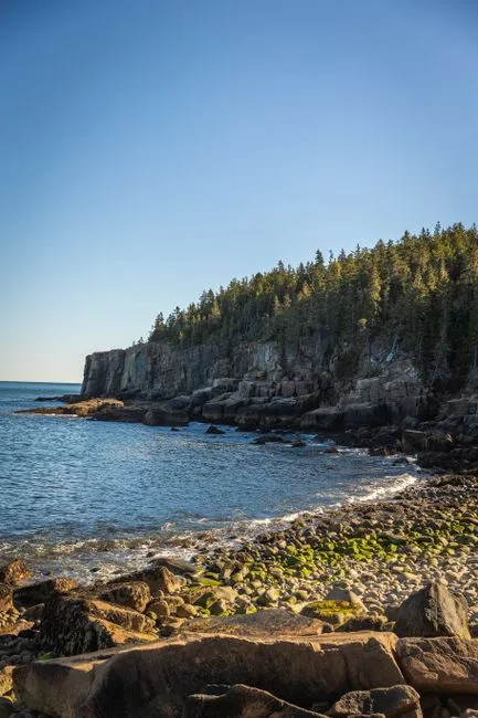 Pexels · Explore the rugged cliffs and serene shoreline of Acadia National Park in this breathtaking coastal landscape. ↗
Small Park, Big Variety
At about 49,000 acres, Acadia ranks 50th of the 64 national parks by size, yet it packs in sea cliffs, forest, a fjard, and a 1,530-foot summit.
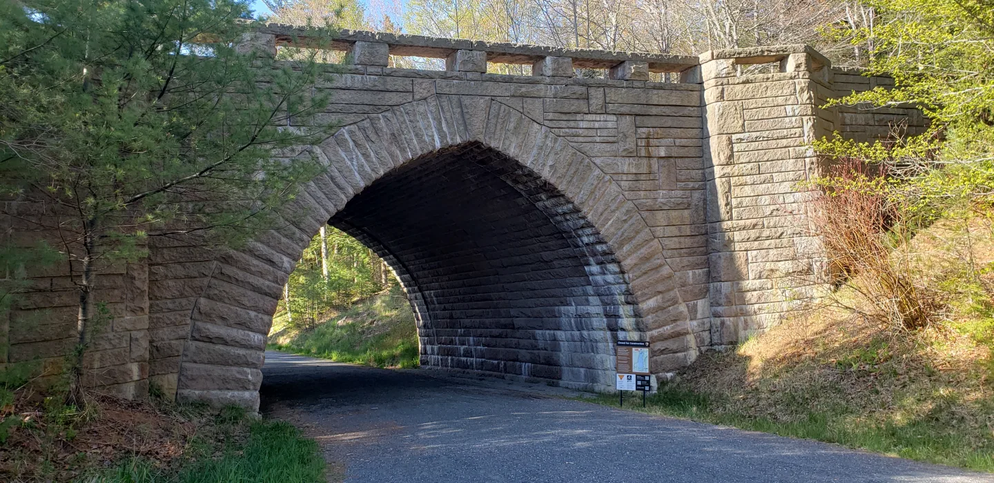 Wikimedia Commons · Pi3.124 · CC BY-SA 4.0 ↗
The Rockefeller Carriage Roads
Between 1913 and 1940, John D. Rockefeller Jr. funded and oversaw 45 miles of broken-stone carriage roads winding through Acadia's woods and around its ponds — built deliberately for horses, walkers, and bicycles, never cars. Today they're a car-free network of gentle grades, hand-set granite culverts, and seventeen graceful stone-faced bridges, no two alike.
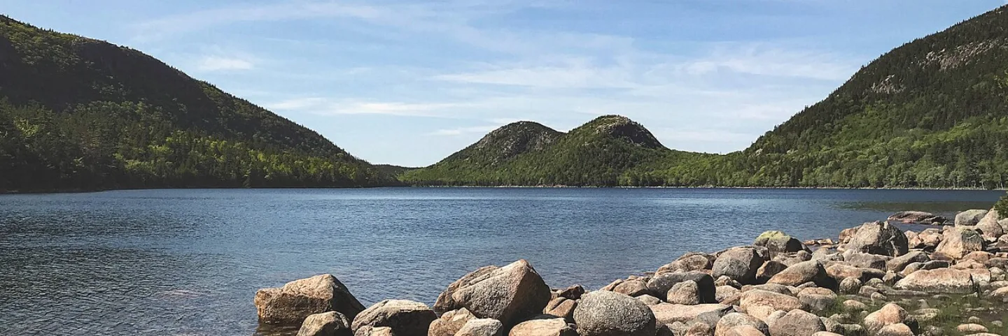 NPS / Victoria Stauffenberg derivative work: User:Maps and stuff (cropped to 3: · Public domain ↗
Jordan Pond and the Bubbles
Jordan Pond is Acadia's clearest water — a glacial tarn so transparent you can see 40-plus feet down. At its far end rise the Bubbles, two rounded granite hills whose twin domes are mirrored in the still water. The lakeside Jordan Pond House has served tea and warm popovers on its lawn since the 1890s.
1 / 9What distinction does Acadia hold among U.S. national parks?
Established as Lafayette National Park in 1919, Acadia was the first national park east of the Mississippi — and the first created from donated private land.
Lesson 26 has 47 cards. Keep going in the free app.
Question -
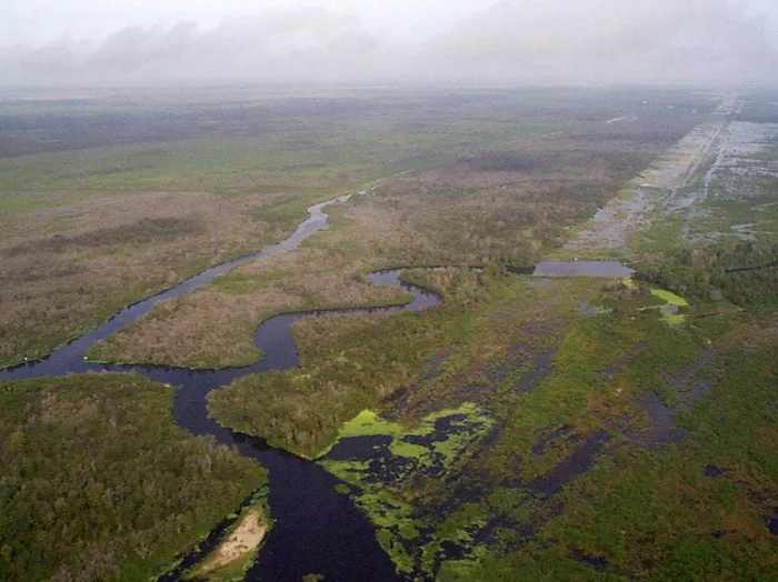 Wikimedia Commons · US Army Corps of Engineers · Public domain ↗27
Spotlight: Everglades
The River of Grass · Where Alligators and Crocodiles Meet · Visiting the Everglades
Lesson 27 · 10 cardsWikimedia Commons · US Army Corps of Engineers · Public domain ↗Everglades
Established December 6, 1947, Everglades was the first national park created to protect an ecosystem rather than scenery. Sprawling across ~1.5 million acres of southern Florida, it is the largest tropical wilderness in the United States and the third-largest park in the Lower 48. Marjory Stoneman Douglas named its defining feature the "River of Grass" — a vast, shallow sheet of water creeping south to the sea.
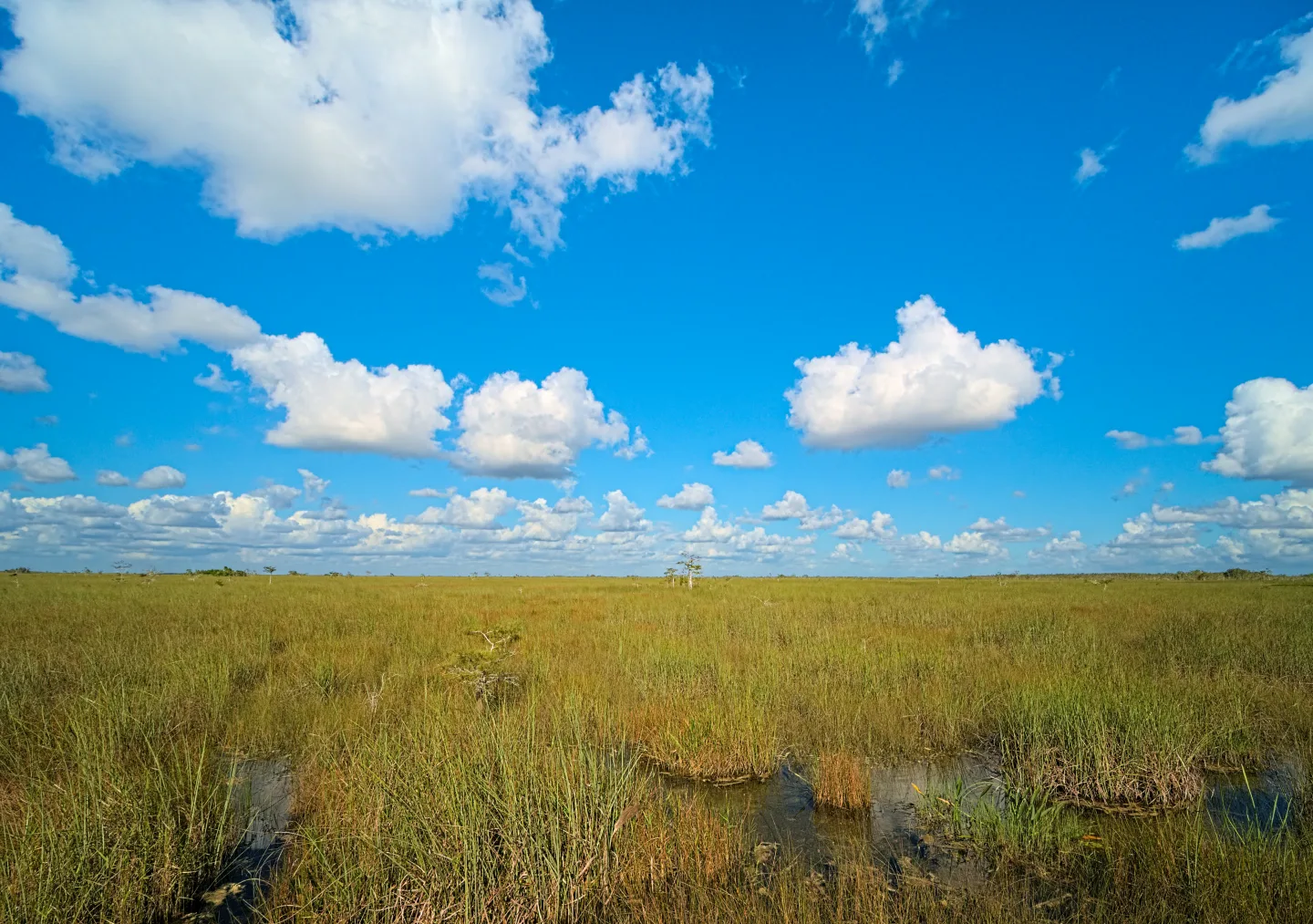 Wikimedia Commons · Daniel Kraft · CC BY-SA 3.0 ↗
The River of Grass
The Everglades is not a swamp but a river — one roughly 60 miles wide and only inches deep, sliding almost imperceptibly south across a nearly flat limestone shelf. Fed by the overflow of Lake Okeechobee, this sheet flow of fresh water moves about a mile a day toward Florida Bay. The entire ecosystem — sawgrass, mangrove, wildlife, and all — depends on that slow, shallow current.
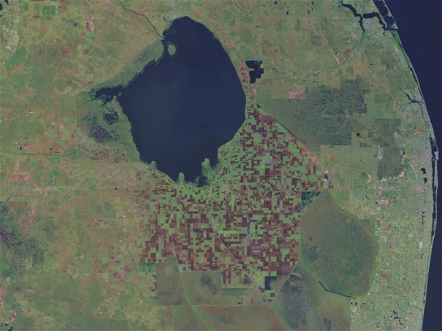 Wikimedia Commons · NASA · Public domain ↗
Lake Okeechobee
Historically, the Everglades' slow-moving sheet flow began as overflow from vast Lake Okeechobee, which fed water south through the marsh toward Florida Bay.
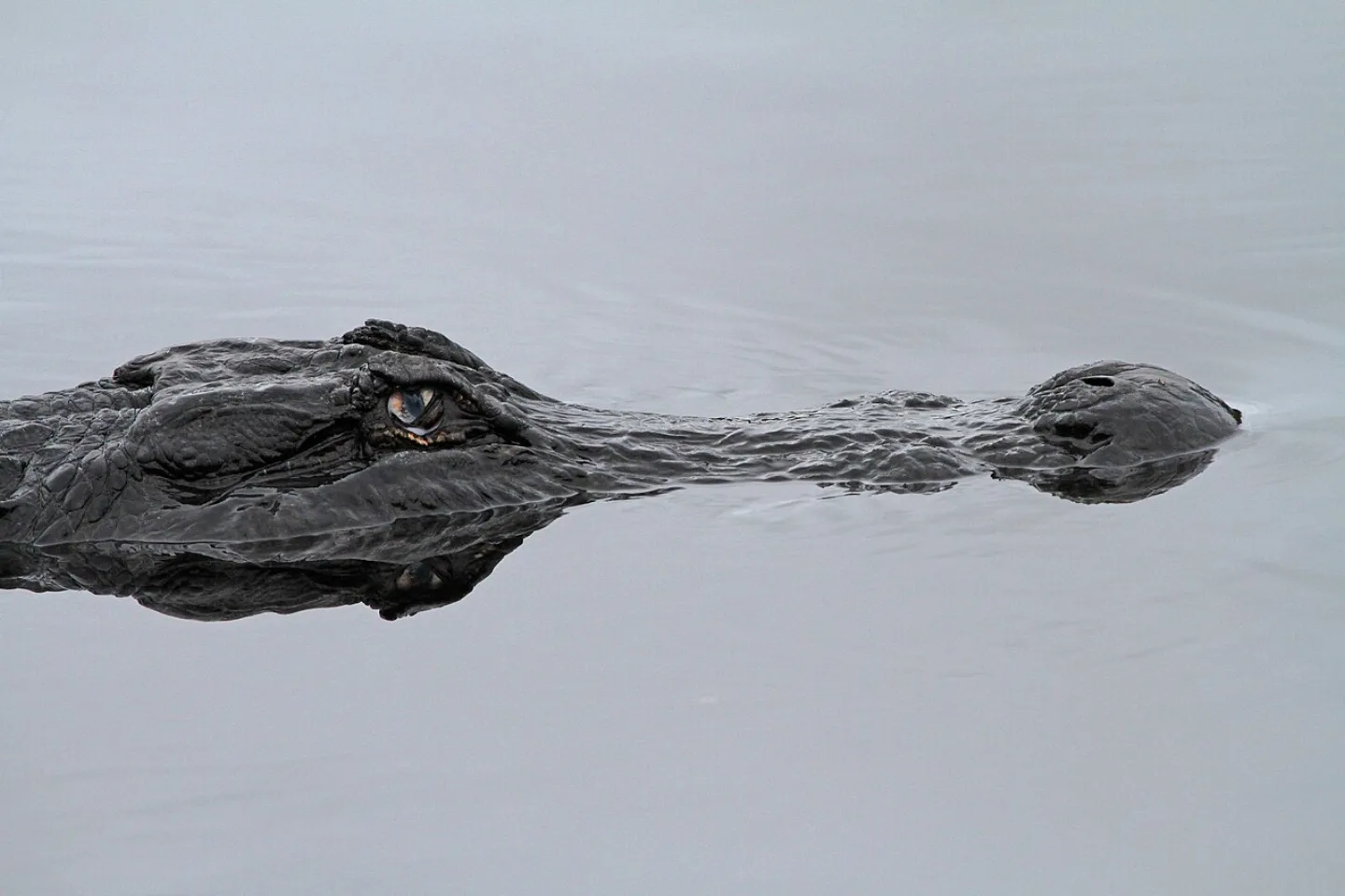 judygva (back in town and trying to catch up) · CC BY 2.0 ↗
Where Alligators and Crocodiles Meet
The Everglades is the only place on Earth where American alligators and American crocodiles live side by side. The two are easy to tell apart: alligators are dark, broad-snouted, and favor fresh water, while the rarer crocodile is grayish-green, narrow-snouted, and tolerates the brackish coast. Where the freshwater marsh meets the salty mangrove fringe, their ranges overlap — a meeting found only in South Florida.
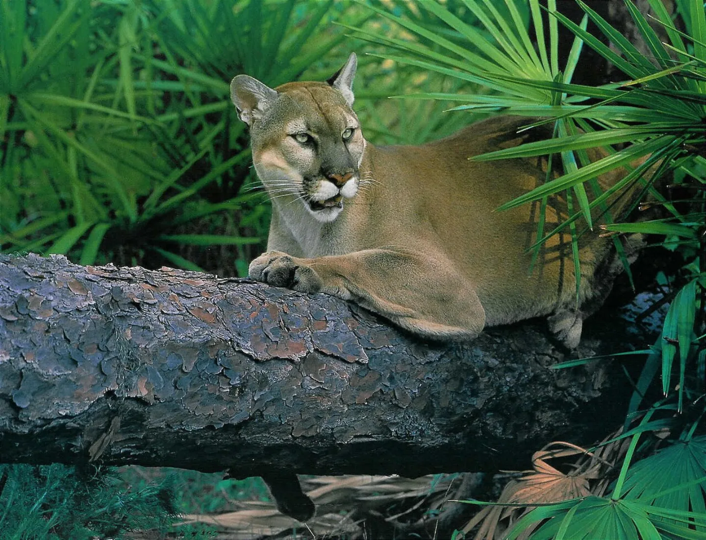 U.S. Army Corps of Engineers · Public domain ↗
The Endangered Florida Panther
The Florida panther — a tawny subspecies of cougar — once roamed the whole Southeast but was hunted to the brink. Today only around 200 survive, most of them in and around the Everglades, making it one of the rarest large cats in North America. Secretive and wide-ranging, a single panther may patrol 200 square miles, and roadside collisions remain a leading threat to its recovery.
 Bryan Falk, USGS. Public domain. · Public domain ↗
The Burmese Python Invasion
Released or escaped pets, Burmese pythons have exploded across the Everglades since the 1990s. These giant constrictors, native to Southeast Asia, have no natural predators here and devour native mammals and birds — in some areas raccoons, opossums, and rabbits have nearly vanished. Sprawling, hard to find in the sawgrass, and prolific breeders, the python is now the park's gravest invasive threat, hunted by state-run removal programs.
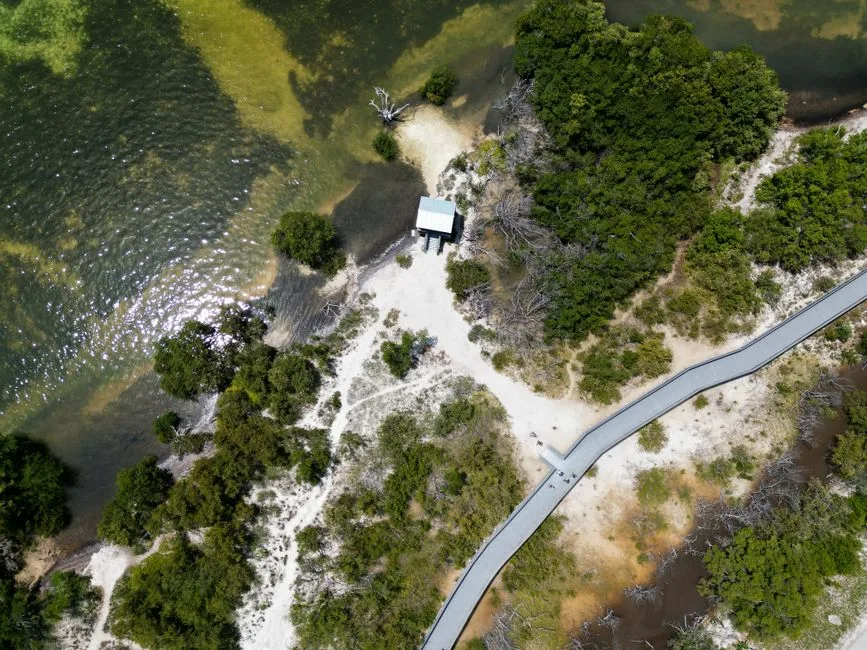 Pexels · A stunning aerial view of Everglades City coastline with greenery and pathways. ↗
Three Rare Titles
The Everglades is recognized simultaneously as a World Heritage Site, an International Biosphere Reserve, and a Wetland of International Importance, a combination rarely held together by any single place.
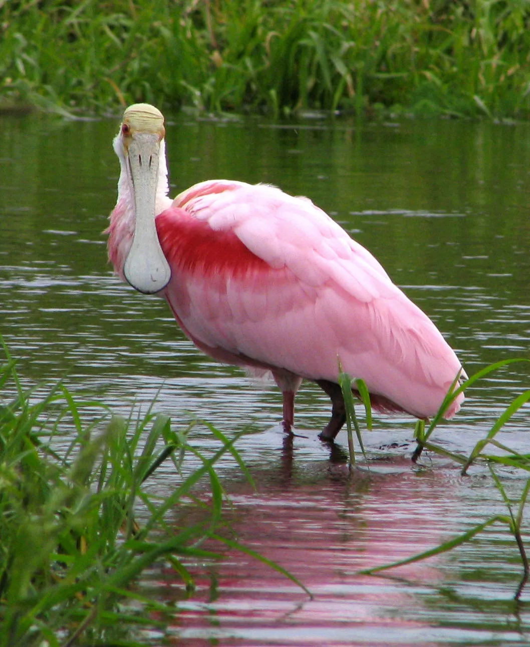 Wikimedia Commons · Mwanner · CC BY-SA 3.0 ↗
The Roseate Spoonbill
The roseate spoonbill is one of the Everglades' most vivid wading birds, a bright pink species that sweeps its flat, spoon-shaped bill side to side to feed in shallow water.
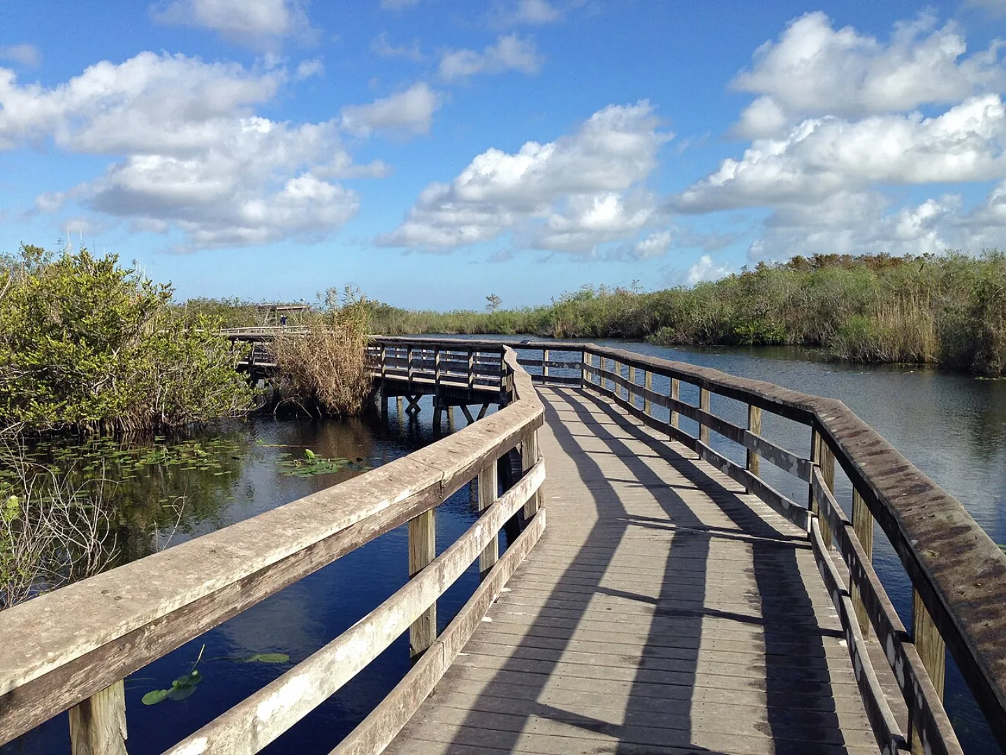 Fredlyfish4 · CC BY-SA 3.0 ↗
The Anhinga Trail
If you walk one path in the Everglades, make it the Anhinga Trail — a flat, easy boardwalk of about 0.8 mile that loops over a freshwater slough. In the dry season the water draws wildlife into astonishing close range: alligators sun on the banks, anhingas dry their wings on the rails, and herons, turtles, and gar crowd the pools. Few short walks anywhere pack in so much.
1 / 10When it was established in 1947, what made Everglades a turning point in American conservation?
Earlier parks preserved dramatic scenery — canyons, peaks, geysers. Everglades (1947) was the first set aside to protect a living ecosystem itself, a genuinely new idea in how Americans thought about conservation.
Lesson 27 has 79 cards. Keep going in the free app.
Question


![[flickr.com B0iwehijro2i0- ] `1l]] from Davis, · CC BY 2.0 ↗](https://commons.wikimedia.org/wiki/File:St_Louis_Gateway_Arch.jpg)


What you'll be able to do 115 objectives, from the pack's lessons
- Identify when and by whom Yellowstone and the National Park Service were founded.
- Recognize the writer and artists who gave the national-park idea its language and proof.
- Explain how the Antiquities Act let presidents create monuments, and state how many national parks exist today.
- Compare the largest and smallest national parks and where the giants cluster.
- Identify the most-visited park and the system's highest point.
- Identify the naturalists, presidents, and administrators who fought to establish the parks.
- Recognize the writers and photographers whose words and images shifted public opinion.
- Recognize the donors, lawmakers, scientists, and soldiers behind the parks.
- Order the early legal milestones of land protection from Hot Springs to the Antiquities Act.
- Identify the modern conservation laws and events, from the Wilderness Act to New River Gorge.
- Match the tectonic and erosional forces to the parks they built.
- Define shield volcanoes and geothermal features.
- Explain how calderas and canyons form.
- Define the vocabulary of sculpted rock and uplifted mountains (hoodoo, arch, fault-block, batholith, natural bridge).
- Recognize iconic formations and cave records on sight.
- Match the marquee mammals to their signature parks.
- Recognize iconic park animals and the field marks of a grizzly.
- Explain what makes a species a keystone and identify examples.
- Match recovery and coexistence species to the parks that shelter them.
- Identify the record-breaking trees by their superlative and size.
- Match record-breaking plants to the parks that protect them.
- Explain life zones and how elevation stacks ecosystems on a single mountain.
- Match signature ecosystems to their parks and define a temperate rainforest.
- Recall the system's physical record numbers and extreme places.
- Match living and ancient records to the parks that hold them.
- Identify the firsts, mosts, and onlys of the park system.
- Recognize the least-visited park and Acadia's first-in-the-East milestone.
- Recognize signature extreme features on sight.
- Match iconic scenic roads and seasonal events to their parks.
- Apply the parks' core safety rules for water, wildlife distance, and hazards.
- Distinguish park designations: national park, monument, wilderness, and preserve.
- Define the backcountry and trail vocabulary of the park lexicon.
- Match the visitor-facility terms of the park lexicon.
- Recall the parks' most-repeatable surprising facts.
- Identify the unusual places behind the park system's odd trivia.
- Attribute the parks' famous conservation quotes to their authors.
- Identify the High Rockies parks by their signature features.
- Recognize the canyon, cliff, and plains parks of the West.
- Identify a Western park from a single distinctive clue.
- Recall the high points and visitation of the Western parks.
- Match the Western parks to their states.
- Identify the canyon-country headliners of the Colorado Plateau.
- Explain the rock, wood, and cactus marvels of the Southwest.
- Recognize the Southwest's desert extremes of heat, elevation, and dunes.
- Identify a Southwest park from a single distinctive clue.
- Recall Southwest elevation and temperature extremes and match parks to states.
- Identify California's giant parks and why its sequoias need fire.
- Recognize the coast and Pacific Northwest parks.
- Explain the volcanic and Pacific-edge parks, from Crater Lake to American Samoa.
- Identify a Pacific park from a single distinctive clue.
- Recall Pacific park peaks and records and match parks to states.
- Identify the first set of Alaskan giants, from Denali to Katmai and Glacier Bay.
- Identify the second set of Alaskan giants, from Kenai Fjords to Wrangell-St. Elias.
- Identify an Alaskan park from a single distinctive clue.
- Recall Alaska's superlative numbers and signature features.
- Identify the Appalachian parks by their mountains and cave.
- Recognize the Midwest parks, from Gateway Arch to Isle Royale.
- Identify the southern and tropical parks, including Everglades' ecosystem first.
- Identify an Eastern park from a single distinctive clue.
- Recall Eastern park numbers and match parks to their states and high points.
- Explain Yellowstone's supervolcano, hotspot, and geothermal system.
- Identify Yellowstone's signature thermal and canyon features.
- Explain Yellowstone's wildlife and the wolves' trophic cascade.
- Plan a Yellowstone visit around its scale, overlooks, and seasons.
- Recall the Grand Canyon's scale and the deep-time record in its walls.
- Explain the canyon's stacked life zones and the peoples who call it home.
- Plan a Grand Canyon visit around its overlooks, trails, and seasons.
- Identify the Grand Canyon's landmarks on sight.
- Explain Yosemite's granite features and how glaciers carved the valley.
- Explain Yosemite's giant sequoias and its founding role in the national-park idea.
- Plan a Yosemite visit around Half Dome, Firefall, and waterfall season.
- Identify Yosemite's waterfalls on sight.
- Explain Zion's Navajo Sandstone canyon and how its cliffs formed.
- Trace Zion's names from Mukuntuweap to today and identify its canyon and hike landmarks.
- Describe Zion's famous hikes, Angels Landing and The Narrows, and their permits.
- Plan a Zion visit around its mandatory shuttle, gateway town, and season.
- Explain Glacier's glacial landforms and its Going-to-the-Sun Road.
- Identify Glacier's Triple Divide Peak, Garden Wall arete, and famous glacier and island landmarks.
- Explain Glacier's shrinking ice, wildlife, and Indigenous peoples.
- Plan a Glacier visit around its lakes, trails, and vehicle reservations.
- Explain the Tetons' fault-block geology and why they rise without foothills.
- Identify the string of glacial lakes at the foot of the range.
- Recognize the Tetons' iconic viewpoints, barns, and wildlife.
- Explain the Rockefeller land gift and the parkway linking Grand Teton to Yellowstone.
- Explain Rocky Mountain's high country, its founder, and its ancient rock.
- Define alpine tundra and the Continental Divide that threads the park.
- Recognize Rocky Mountain's signature wildlife and the Keyhole Route.
- Plan a Rocky Mountain visit around its lakes, elk season, and crowds.
- Recall Death Valley's records as the hottest, driest, lowest, and largest contiguous park.
- Explain Death Valley's geology, from Zabriskie Point to its graben origin.
- Plan a Death Valley visit around its peoples and dark skies.
- Explain what makes giant sequoias and General Sherman the biggest trees on Earth.
- Identify Sequoia's high country, from Mount Whitney to Moro Rock and Crystal Cave.
- Plan a Sequoia visit around its trails, quirks, and season.
- Explain how Olympic packs glaciers, rainforest, and coast into one park.
- Trace Olympic's protection, its glaciated high point, and its landmark ridge and beach.
- Describe the Hoh rainforest and Olympic's wild coast, and define a nurse log.
- Plan an Olympic visit around Hurricane Ridge, Lake Crescent, and season.
- Explain the peak's height, how its federal name changed in 2015 and 2025, and its greatest-rise record.
- Identify the Alaska Range, the peak's other name (Mount McKinley), and the park's Big Five animals.
- Describe Denali's subarctic ecosystems and the Big Five it protects.
- Plan a Denali visit around the bus, the weather, and the seasons.
- Explain the Smokies' blue haze, ancient age, and superlatives.
- Recognize the Smokies' donor gift and salamander-capital fame.
- Explain the Smokies' biodiversity, synchronous fireflies, and Cherokee heritage.
- Plan a Smokies visit and explain why it charges no entrance fee.
- Identify the Smokies' landmark places on sight.
- Explain Acadia's coastal setting and its firsts among national parks.
- Identify Acadia's coastal landmarks on sight.
- Describe Acadia's carriage roads and the essentials of a visit.
- Explain the Everglades as the first park protected for its ecosystem, and its river of grass.
- Distinguish the Everglades' sawgrass marsh and hardwood-hammock habitats.
- Explain the alligator-crocodile coexistence and the park's rarest wildlife and honors.
- Identify the Everglades' wading birds, reptiles, panther, and python invaders.
- Plan an Everglades visit around its trails, waterways, and dry season.
Study guide.
The same study guide as in the app, one page for each lesson, with its key facts and a self-test.
- 01Lesson 1: America's Best Idea
- 02Lesson 2: The Story of the Parks
- 03Lesson 3: How the Landscapes Formed
- 04Lesson 4: Wildlife of the Parks
- 05Lesson 5: Flora & Ecosystems
- 06Lesson 6: Records & Superlatives
- 07Lesson 7: Visiting the Parks
- 08Lesson 8: Fun Facts & Famous Words
- 09Lesson 9: Western Mountains & Northern Plains
- 10Lesson 10: Southwest & Colorado Plateau
- 11Lesson 11: California, Pacific Northwest & Hawaii
- 12Lesson 12: The Alaskan Giants
- 13Lesson 13: East, Midwest & Territories
- 14Spotlight: Yellowstone
- 15Spotlight: Grand Canyon
- 16Spotlight: Yosemite
- 17Spotlight: Zion
- 18Spotlight: Glacier
- 19Spotlight: Grand Teton
- 20Spotlight: Rocky Mountain
- 21Spotlight: Death Valley
- 22Spotlight: Sequoia
- 23Spotlight: Olympic
- 24Spotlight: Denali
- 25Spotlight: Great Smoky Mountains
- 26Spotlight: Acadia
- 27Spotlight: Everglades
Its cards name 63 sources.
1,041 of its 1,781 cards name their source. These are the eight named most.
- U.S. National Parks — Great Smoky Mountains
- U.S. National Park Service
- U.S. National Parks — Yellowstone
- U.S. National Parks — Everglades
- U.S. National Parks — Olympic
- U.S. National Parks — Grand Canyon
- U.S. National Parks — Zion
- U.S. National Parks — Geology
See all 63 sources
- U.S. National Parks — Great Smoky Mountains
- U.S. National Park Service
- U.S. National Parks — Yellowstone
- U.S. National Parks — Everglades
- U.S. National Parks — Olympic
- U.S. National Parks — Grand Canyon
- U.S. National Parks — Zion
- U.S. National Parks — Geology
- U.S. National Parks — Glacier
- U.S. National Parks — Denali
- U.S. National Parks — Yosemite
- U.S. National Parks — Death Valley
- U.S. National Parks — Rocky Mountain
- U.S. National Parks — Records & Superlatives
- U.S. National Parks — Grand Teton
- U.S. National Parks — Wildlife
- U.S. National Parks — Sequoia National Park
- U.S. National Parks — Flora & Ecosystems
- U.S. National Parks — People of Conservation
- U.S. National Parks — Acadia
- U.S. National Parks — Events & Milestones
- U.S. National Parks — Glossary
- U.S. National Parks — Fun Facts & Attributed Quotes
- U.S. National Parks — Recreation & Sites
- U.S. National Parks — Wrangell–St. Elias
- U.S. National Parks — Gates of the Arctic
- U.S. National Parks — Haleakalā
- U.S. National Parks — Kenai Fjords
- U.S. National Parks — White Sands
- U.S. National Parks — Crater Lake
- U.S. National Parks — Fun Facts
- U.S. National Parks — Gateway Arch
- U.S. National Parks — Glacier Bay
- U.S. National Parks — Great Basin
- U.S. National Parks — Isle Royale
- U.S. National Parks — Katmai
- U.S. National Parks — Kobuk Valley
- U.S. National Parks — Mammoth Cave
- U.S. National Parks — Mesa Verde
- U.S. National Parks — Mount Rainier
- U.S. National Parks — Redwood
- U.S. National Parks — Sequoia
- U.S. National Parks — Timing & Safety
- U.S. National Parks — Arches
- U.S. National Parks — Badlands
- U.S. National Parks — Big Bend
- U.S. National Parks — Black Canyon of the Gunnison
- U.S. National Parks — Bryce Canyon
- U.S. National Parks — Carlsbad Caverns
- U.S. National Parks — Channel Islands
- U.S. National Parks — Dry Tortugas
- U.S. National Parks — Great Sand Dunes
- U.S. National Parks — Guadalupe Mountains
- U.S. National Parks — Hawaii Volcanoes
- U.S. National Parks — Hot Springs
- U.S. National Parks — Lake Clark
- U.S. National Parks — North Cascades
- U.S. National Parks — Pinnacles
- U.S. National Parks — Saguaro
- U.S. National Parks — Shenandoah
- U.S. National Parks — Theodore Roosevelt
- U.S. National Parks — Virgin Islands
- U.S. National Parks — Wind Cave
Hover over a photo, or tap its i, to see where it came from. All 34:
- Lesson 1: Diliff · CC BY-SA 3.0 ↗
- Lesson 2: Wikimedia Commons · Mr. David Sinson, NOAA, Office of Coast Survey · Public domain ↗
- Lesson 2: Pexels · Ellie Burgin · Pexels License ↗
- Lesson 3: Carsten Steger · CC BY-SA 4.0 ↗
- Lesson 4: Frank Schulenburg · CC BY-SA 4.0 ↗
- Lesson 5: Unsplash · Taisia Karaseva · Unsplash License ↗
- Lesson 6: Library of Congress · Crater Lake, Oregon · No known restrictions (verify at source) ↗
- Lesson 7: Lon Johnson · Public domain ↗
- Lesson 8: Carsten Steger · CC BY-SA 4.0 ↗
- Lesson 9: Carsten Steger · CC BY-SA 4.0 ↗
- Lesson 9: NPS / Tim Rains · Public domain ↗
- Lesson 10: Library of Congress · View of the Grand Canyon from the South Rim, Grand Canyon Vi · No known restrictions (verify at source) ↗
- Lesson 11: Tuxyso · CC BY-SA 3.0 ↗
- Lesson 12: Wikimedia Commons · Denali National Park and Preserve · Public domain ↗
- Lesson 13: Aviator31 · Public domain ↗
- Lesson 14: Carsten Steger · CC BY-SA 4.0 ↗
- Lesson 15: Mgimelfarb · CC0 ↗
- Lesson 16: Diliff · CC BY-SA 3.0 ↗
- Lesson 17: Wikimedia Commons · Diliff · CC BY-SA 3.0 ↗
- Lesson 18: MPSharwood · CC BY-SA 4.0 ↗
- Lesson 19: James St. John · CC BY 2.0 ↗
- Lesson 20: Anne Dirkse · CC BY-SA 4.0 ↗
- Lesson 20: Library of Congress · Continental Divide sign high in Rocky Mountain National Park · No known restrictions (verify at source) ↗
- Lesson 21: Pexels · Angelica Reyn · Pexels License ↗
- Lesson 21: Pexels · Stunning view of the salt flats at Badwater Basin in Death Valley during sunset. ↗
- Lesson 22: Wikimedia Commons · Marty Aligata · CC BY-SA 4.0 ↗
- Lesson 23: Richard Probst · CC BY 2.0 ↗
- Lesson 23: Wikimedia Commons · Aaron Linville · CC BY-SA 4.0 ↗
- Lesson 24: Denali National Park and Preserve · Public domain ↗
- Lesson 24: Wikimedia Commons · Frank K. from Anchorage, Alaska, USA · CC BY 2.0 ↗
- Lesson 25: Aviator31 · Public domain ↗
- Lesson 25: Pexels · Juliane Richards · Pexels License ↗
- Lesson 26: Ken Lund · CC BY-SA 2.0 ↗
- Lesson 27: Wikimedia Commons · US Army Corps of Engineers · Public domain ↗
- Cards
- 1,779
- Lessons
- 27
- Version
- 1.0.54
- Language
- English
The whole pack is one file. Read the pack file ↗
FlashFeed is on the App Store and Google Play.
FlashFeed is free on iPhone and Android, and needs no account.