
AZT: Rincons & Catalinas
A hiker's knowledge bank for the Arizona Trail through the Rincon and Santa Catalina Mountains near Tucson (Passages 8-12). Covers the route and waypoints, water sources and dry carries, trailheads, campsites, navigation, sky-island ecology, flora and fauna, and the hazards of a desert-to-pine traverse.
795 cards19 lessonsFree
Already have FlashFeed?Open this pack
Get this pack on your phone
Scan with your phone's camera.
flashfeedlearningapp.com/packs/azt-rincon-catalina


19 lessons.
Each lesson has a study guide to read and objectives you can test yourself on. Its cards and games show up in your feed. Try one of its cards right here. Play a few of its games here too.
-
 Pexels · Lindsey Willard · Pexels License ↗01
Route Overview
Passages 8 to 12 · Direction & profile
Lesson 1 · 10 cards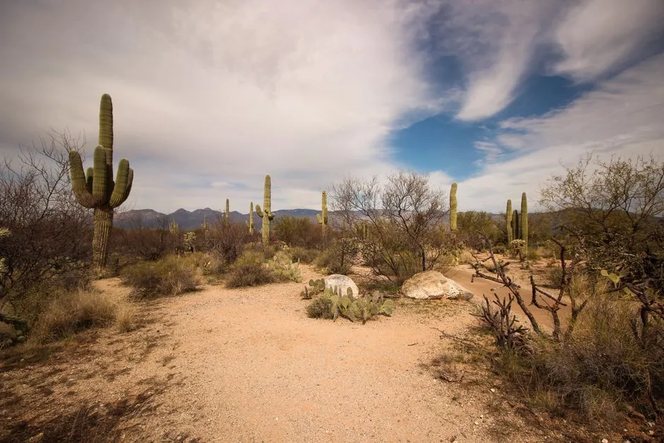 Pexels · Tapas S ↗
Passage 8 — Rincon Valley
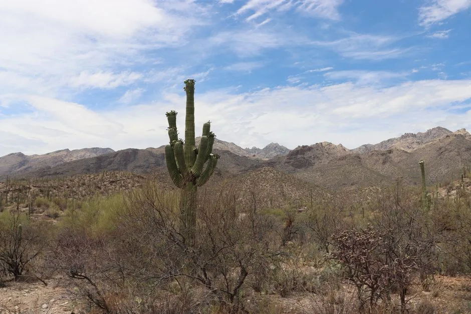
Passage 8, Rincon Valley, connects Davidson Canyon to Saguaro National Park, traversing the Cienega Creek Natural Preserve and Colossal Cave Mountain Park across the desert grassland approach to the Rincons.
Pexels · Lindsey Willard · Pexels License ↗Desert floor to the pines
This stretch of the Arizona Trail links Tucson's two great sky islands across Passages 8 through 12 — Rincon Valley, the Rincon Mountains, Redington Pass, the Santa Catalina Mountains, and Oracle Ridge. In under 90 miles it climbs from Sonoran Desert saguaro flats up through oak woodland to montane pine and mixed-conifer forest, drops to a hot connector pass, then repeats the climb in the Catalinas before descending an exposed ridge to Oracle.
 Pexels · Dianna Sarmiento · Pexels License ↗
Passage 9 — Rincon Mountains
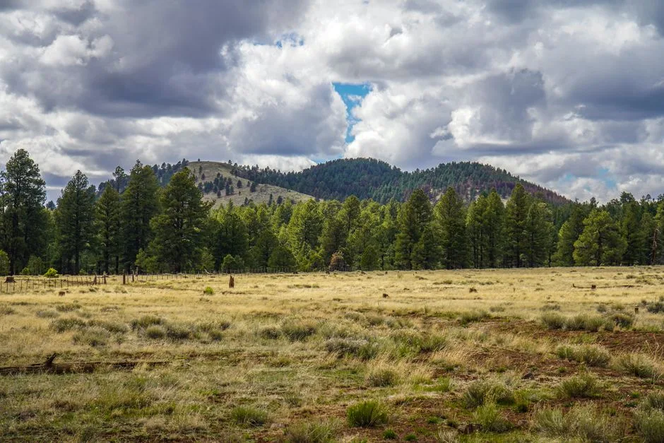
Passage 9, the Rincon Mountains, is the big climb: it ascends from Saguaro National Park up toward Mica Mountain and the high pine forest, then descends the far side to Redington Road. It is the longest passage of this stretch, with one of its biggest sustained climbs.
 Patrick Alexander from Las Cruces, NM · CC0 ↗
Passage 10 — Redington Pass
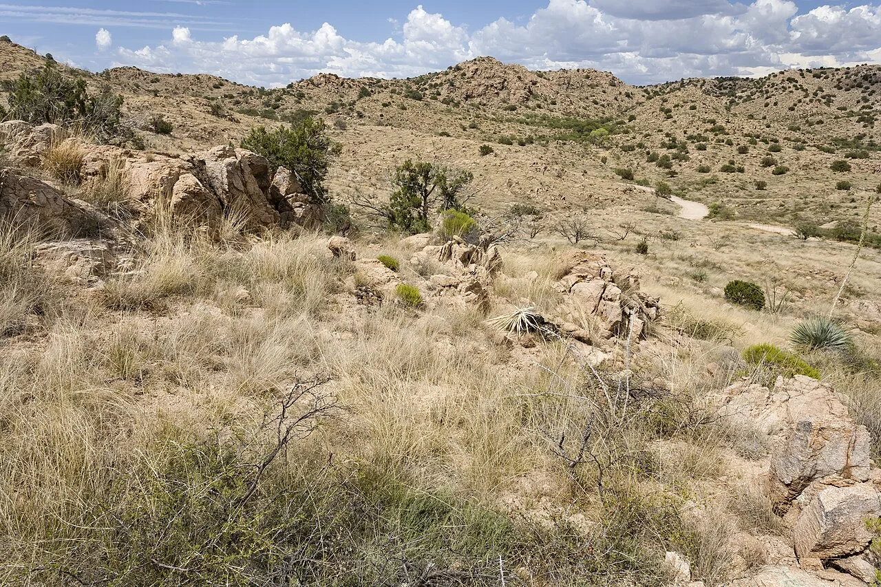
Passage 10, Redington Pass, is the low, hot transition zone between the Rincon and Santa Catalina Mountains — rolling grassland and dirt road with little shade and unreliable water.
 Wikimedia Commons · Chanel Wheeler · CC BY-SA 2.0 ↗
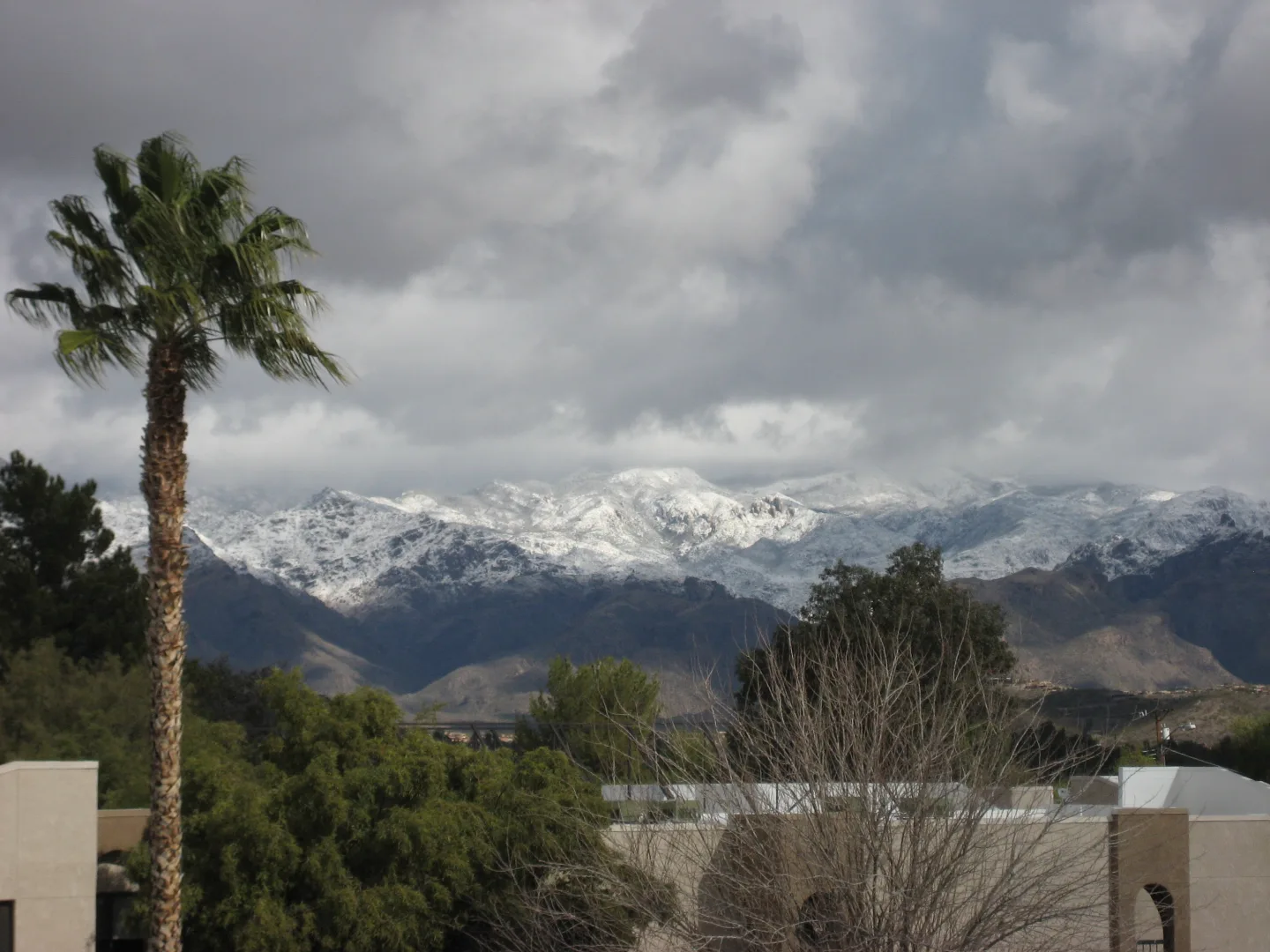
Passage 11 — Santa Catalina Mountains
Passage 11, the Santa Catalina Mountains, crosses the Pusch Ridge Wilderness and climbs through the Wilderness of Rocks toward Mount Lemmon and the resort village of Summerhaven. It includes a vertical-mile climb to Romero Pass.
 Pexels · Tapas S · Pexels License ↗
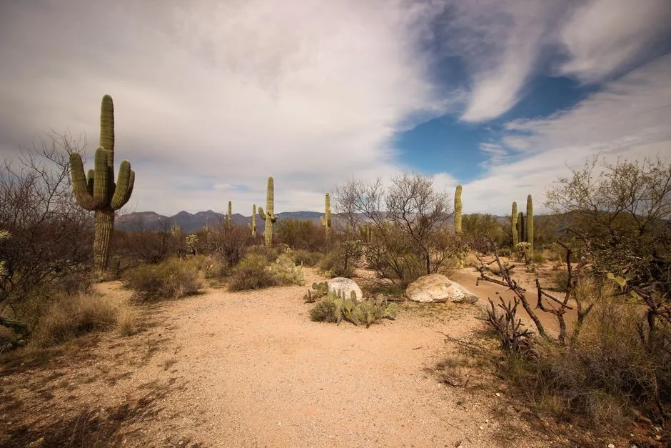
Passage 12 — Red Ridge
Passage 12, Red Ridge, drops from Summerhaven down Red Ridge and Oracle Ridge to American Flag Ranch near the town of Oracle — a long, dry, shadeless descent with big eastward views.
 Wikimedia Commons · Liridon · CC BY-SA 4.0 ↗
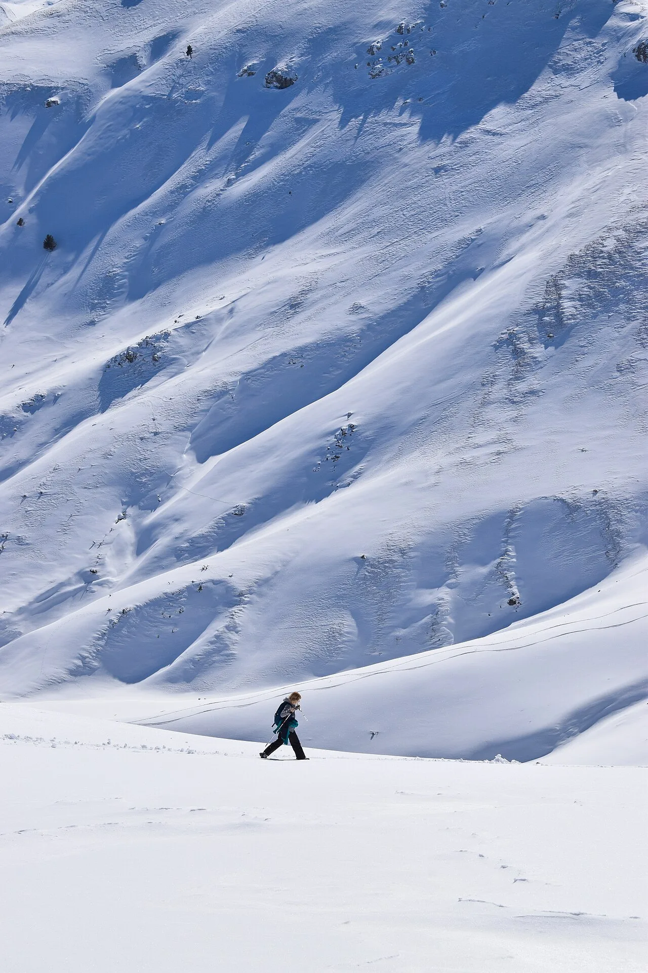
Hiking northbound (NOBO)
Northbound hikers experience a dramatic vertical transect: up from the basin through every life zone to montane pine in the Rincons, down to Redington Pass, then up again into the Catalinas before the Oracle Ridge descent. It front-loads the biggest climb (the Rincons) while legs are fresh.
 Pexels · Cody Beale · Pexels License ↗
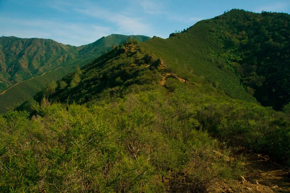
Hiking southbound (SOBO)
Southbound hikers tackle the exposed Oracle Ridge climb first, then the high Santa Catalinas, before dropping to Redington Pass and finishing with the long Rincon descent into the desert. The shadeless Oracle Ridge ascent is the brutal opener.
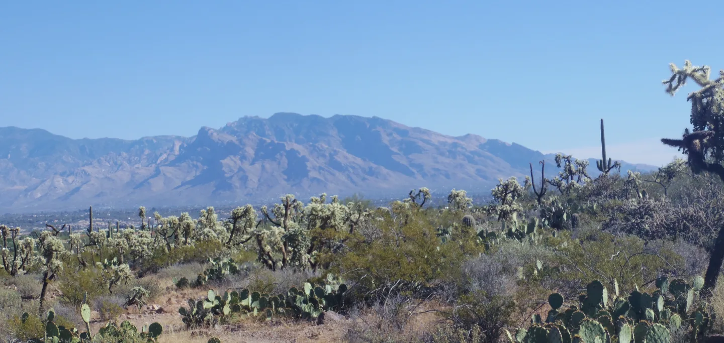 Wikimedia Commons · WClarke · CC BY-SA 4.0 ↗
A vertical transect of the Southwest
Because the trail climbs roughly 5,000-6,000 vertical feet from desert to forest twice over, a hiker passes through the ecological equivalent of traveling from Mexico to Canada — Sonoran Desert scrub at the bottom to Canadian-zone conifer forest on the peaks — in a single day's climb.
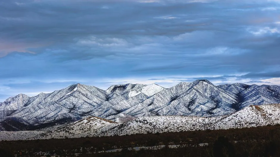 Pexels · Robert Henry · Pexels License ↗
Twenty degrees of relief
High-country temperatures near Summerhaven and Mount Lemmon routinely run up to 20°F cooler than the Tucson valley floor. That gradient is why hikers time the low desert passages for cool months and savor the pine zones — and why snow can linger up high while the desert bakes.
1 / 10This stretch is essentially a traverse of which two ranges, joined by Redington Pass?
The segment links Tucson's two sky islands — the Rincons to the east and the Santa Catalinas to the north — connected by the low saddle of Redington Pass.
Lesson 1 has 64 cards. Keep going in the free app.
Question -
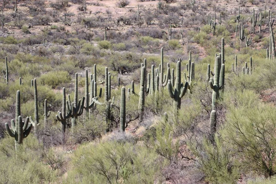 Pexels · Lindsey Willard · Pexels License ↗02
The Rincon Mountains
Rincon Valley & the climb · Mica Mountain & Manning Camp
Lesson 2 · 8 cardsPexels · Lindsey Willard · Pexels License ↗Across the Rincon Valley
Passage 8 traverses the Cienega Creek Natural Preserve and Colossal Cave Mountain Park on its way to Saguaro National Park's eastern (Rincon Mountain) district. It's classic desert-grassland walking — golden grasses, mesquite, and saguaro — before the real climbing begins.
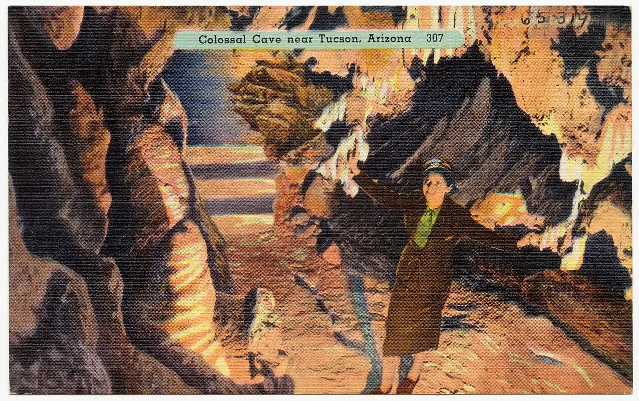 Tichnor Brothers, Publisher · Public domain ↗
An old outlaw hideout
Colossal Cave, which Passage 8 passes, was reputedly used as a hideout by a gang that robbed a Southern Pacific passenger train — traditionally dated to 1887, though the exact year isn't confirmed. The cave's cool, branching passages made an ideal place to lie low — a slice of Wild West lore right on the trail. (Gang name varies by account.)
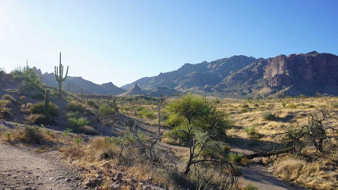 Unsplash · Umar Rufai · Unsplash License ↗
No dispersed camping in Saguaro NP
Dispersed backcountry camping is strictly prohibited inside Saguaro National Park. You must camp only at designated sites (Grass Shack, Manning Camp, and others) with a reserved permit — so plan your mileage to reach a legal site, since the long Rincon climb leaves few options in between.
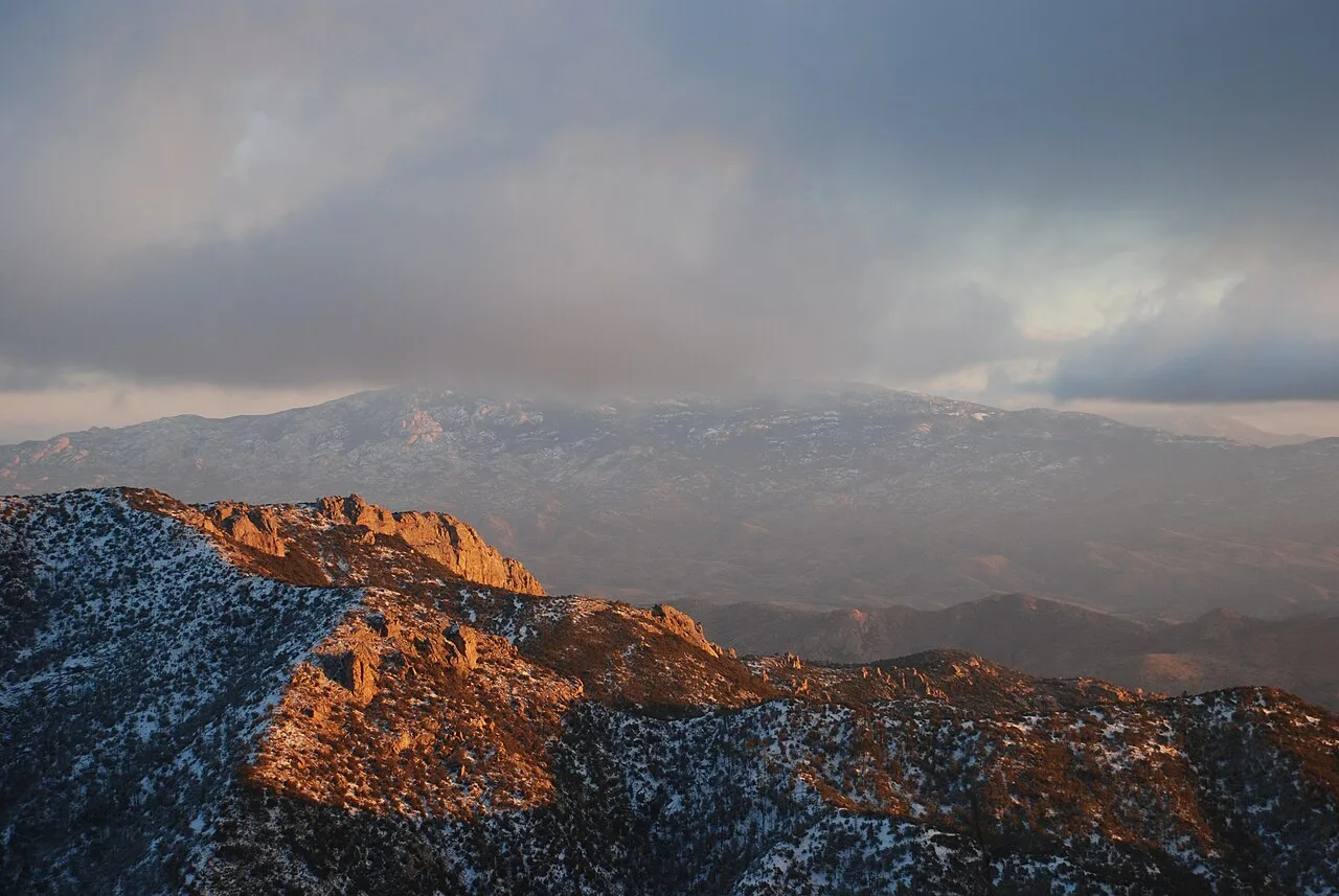 All Fronts Quiet · CC BY-SA 3.0 ↗
Bypassing Mica Mountain
At the Mica Mountain junction, the AZT leaves the summit trail and contours around to bypass the 8,666-foot peak. Bagging the actual high point is a short off-trail side trip — worth it for the forest and views, but not on the official route.
1 / 8How much elevation does the AZT's climb up the Rincon Mountains gain, and over what distance?
The Rincon climb gains over 6,000 feet in just 14 miles — the single biggest sustained ascent of this stretch, a desert-to-conifer transect that leaves the saguaros far below.
Lesson 2 has 52 cards. Keep going in the free app.
Question -
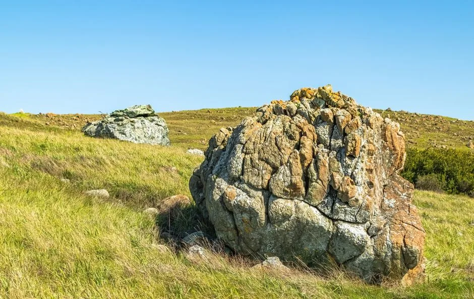 Pexels · Robert So · Pexels License ↗03
Redington Pass
The dry connector
Lesson 3 · 7 cardsPexels · Robert So · Pexels License ↗Golden grass and granite
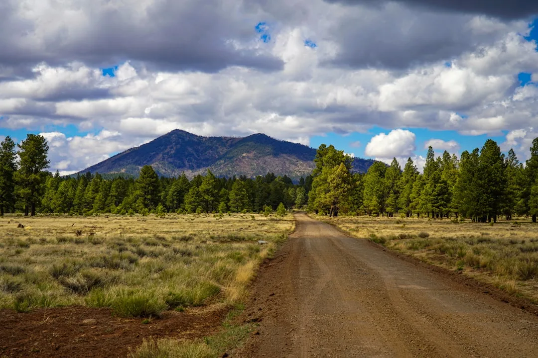
The passage begins in low rolling grasslands of golden bunchgrasses, granite boulders, and thistle. It's beautiful in the cool months and brutal in the heat — open country with almost no shade and long views toward the surrounding ranges.
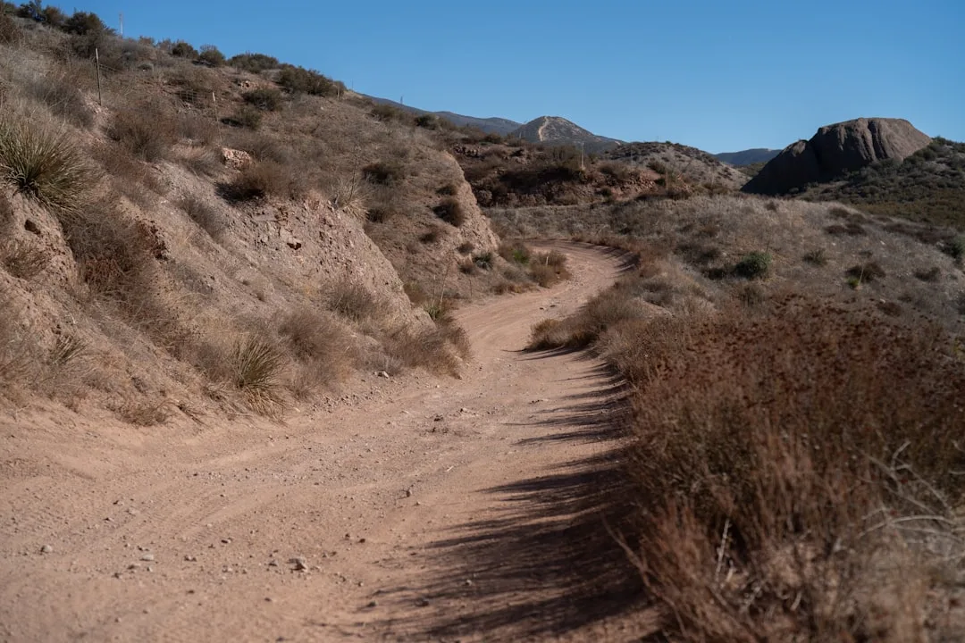 Unsplash · Oxana Melis · Unsplash License ↗
Don't underestimate the heat here
Extreme heat and sun exposure are the defining danger of Redington Pass. Between the two big mountain ranges there's little shade and unreliable water, so hikers routinely misjudge how much water they need. Carry more than feels necessary and hike the low stretches early.
 Unsplash · Dianna Sarmiento · Unsplash License ↗
Molino Basin shuts off in summer
Molino Basin Campground typically closes for the summer by the end of April, and its water is shut off then. Don't count on it in the hot months — a key reason the carry across Redington Pass can be longer and drier than the map suggests.
 PetrifiedForestNPS (Openverse) · pdm 1.0 ↗
A winter birding hotspot
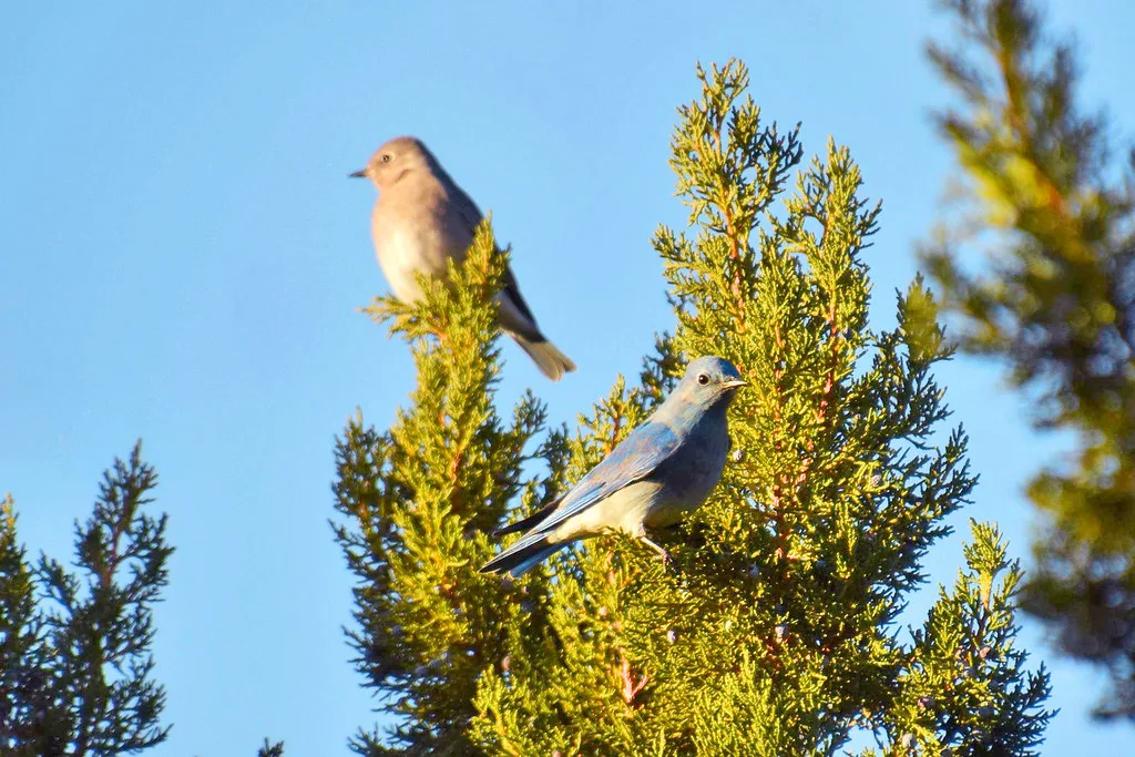
Redington Pass is a renowned winter birding destination, famous for Western and Mountain Bluebirds. The mix of grassland, juniper, and oak draws species down from the high country in the cold months — a quiet reward for off-season hikers.
 Polinova · CC BY-SA 4.0 ↗
The juniper-berry migrant
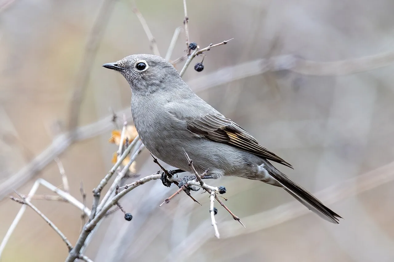
High-altitude Townsend's Solitaires make short elevational migrations down to Redington Pass in winter to feast on juniper berries. Rather than flying south, these birds simply drop a few thousand feet — a sky-island version of migration.
1 / 7What is Redington Pass?
Redington Pass is a low-elevation saddle east of Tucson that separates and connects the Rincon and Santa Catalina ranges — the hot, dry AZT connector between two sky islands.
Lesson 3 has 35 cards. Keep going in the free app.
Question -
 Joshua Tree National Park (Openverse) · pdm 1.0 ↗04
The Santa Catalina Mountains
Over the range · Mount Lemmon & lore
Lesson 4 · 9 cardsJoshua Tree National Park (Openverse) · pdm 1.0 ↗Pusch Ridge bighorn
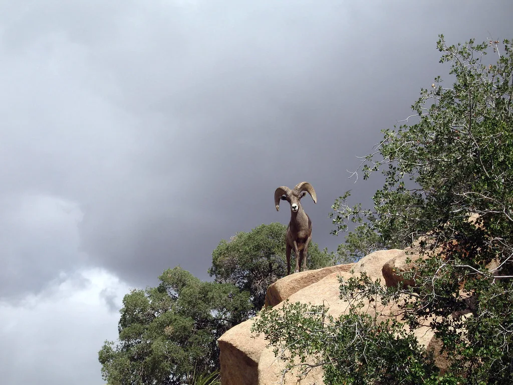
The Pusch Ridge Wilderness, which the passage skirts, holds a small remnant population of desert bighorn sheep. Their fragile foothold is why parts of the range carry seasonal access restrictions — a reminder that this front country is sensitive habitat, not just scenery.
 Pexels · Didier VEILLON ↗
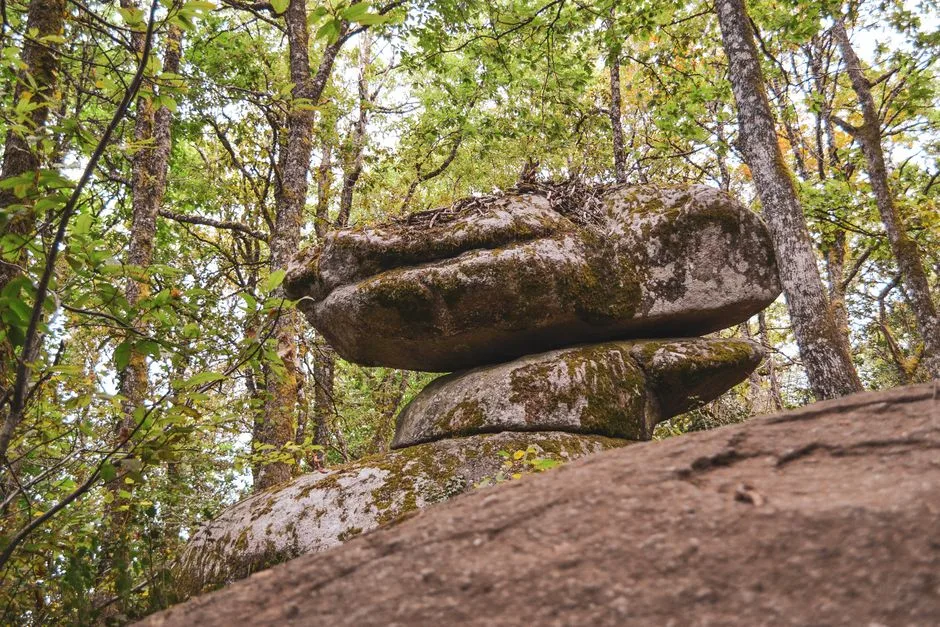
Carved from ancient granite
The Wilderness of Rocks is eroded from Eocene-aged granite, weathered into hoodoos and balanced boulders — not a sedimentary or volcanic landscape.
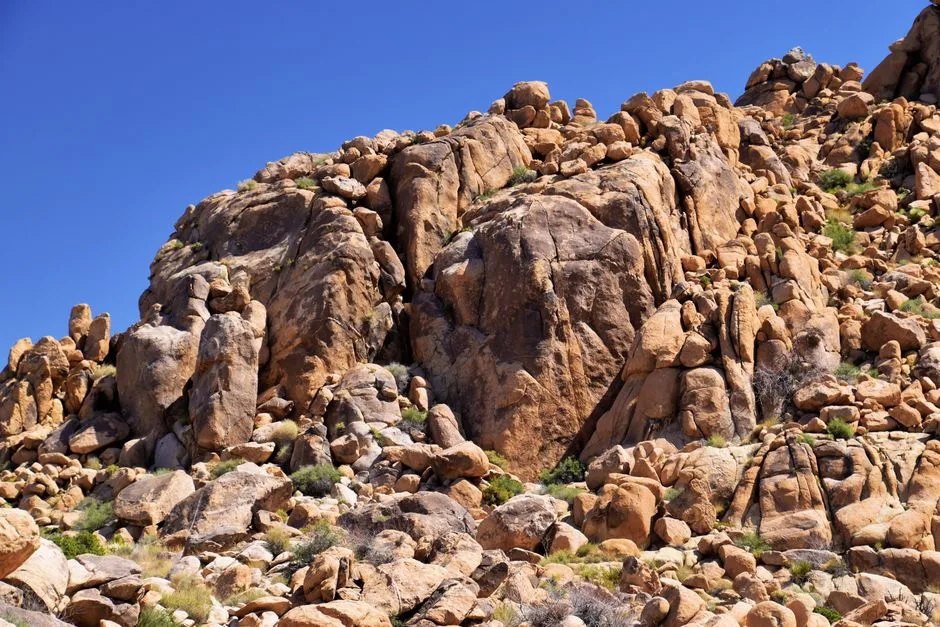 Pexels · Jeffrey Eisen ↗
Hoodoos and balanced boulders
Granite in the Wilderness of Rocks has eroded into bizarre hoodoos, balanced boulders, and broad, flat sheets of stone.
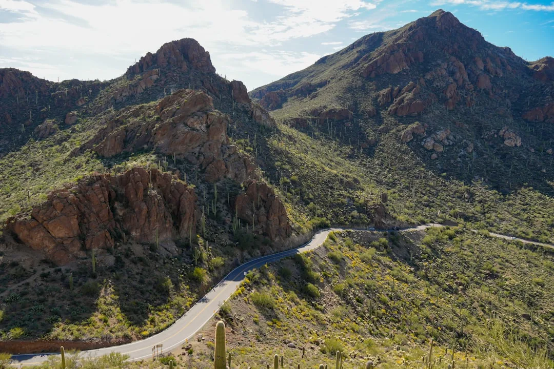 Unsplash · JC Cervantes · Unsplash License ↗
Frog Mountain
The Tohono O'odham call the Santa Catalinas 'Babad Do'ag,' which translates to 'Frog Mountain.' The name long predates the Spanish 'Santa Catalina,' rooting the range in the deep Indigenous history of the Sonoran Desert.
1 / 9The Wilderness of Rocks is eroded from what kind of rock?
The Wilderness of Rocks is weathered, Eocene-aged granite carved into hoodoos and balanced boulders — not a sedimentary or volcanic landscape.
Lesson 4 has 42 cards. Keep going in the free app.
Question -
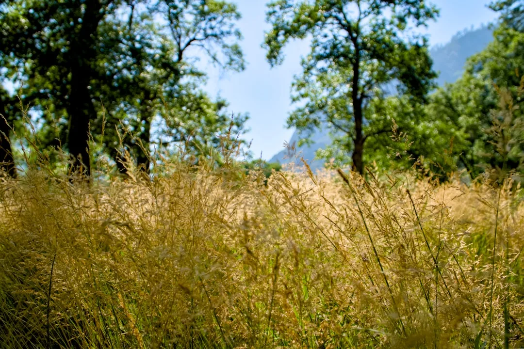 Unsplash · Spencer DeMera · Unsplash License ↗05
Oracle Ridge
The exposed descent
Lesson 5 · 6 cardsUnsplash · Spencer DeMera · Unsplash License ↗Forest fading to grassland
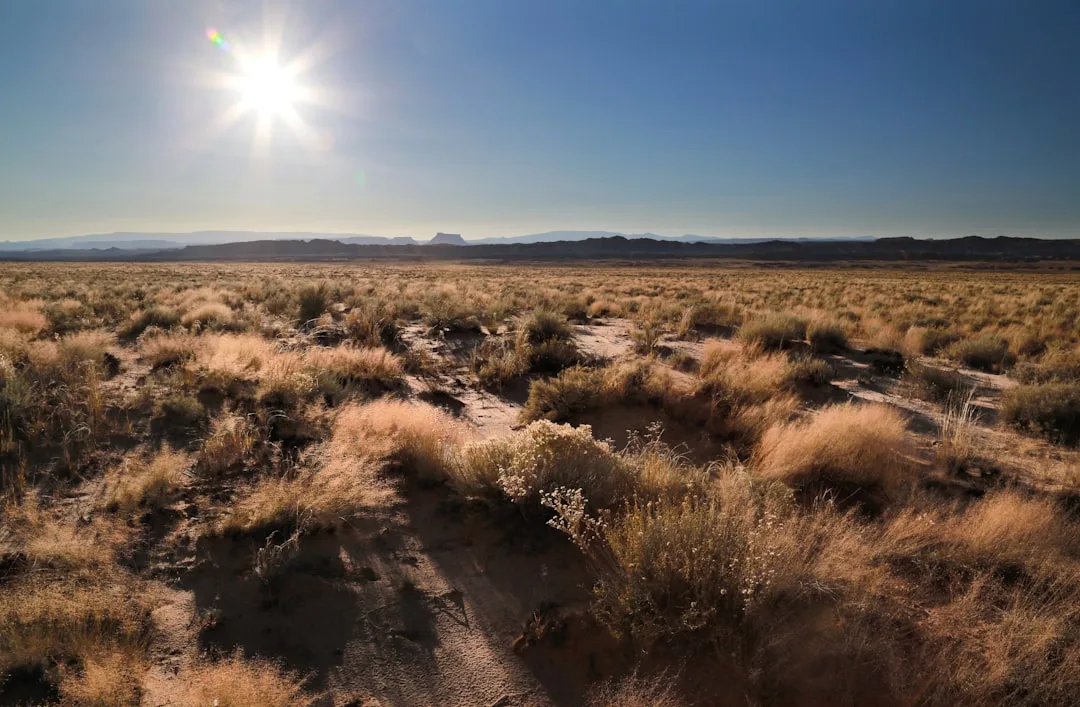
Along the descent the plant communities shift from montane chaparral and pine-oak woodland at the top to high desert grasslands near Oracle. It's the sky-island gradient in reverse — a compressed tour from the forest back down toward the desert.
 Unsplash · Gary Yost · Unsplash License ↗
Temperatures climb as you descend
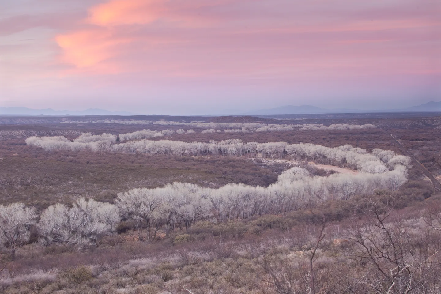
As the trail loses elevation toward Oracle, temperatures rise rapidly while shade and water disappear. Hikers descending in the afternoon can go from cool pine forest to baking grassland in a few hours — carry enough water to cover the dry, hot bottom of the ridge.
 Wikimedia Commons · Bureau of Land Management · Public domain ↗
Big eastward views
Oracle Ridge offers sweeping, unobstructed views of the San Pedro River Valley and the Galiuro Mountains to the east. The exposure that makes it hot also makes it spectacular — a long, high vantage over southeastern Arizona's basin-and-range country.
 Moffett, Chicago · Public domain ↗
Buffalo Bill's Oracle connection
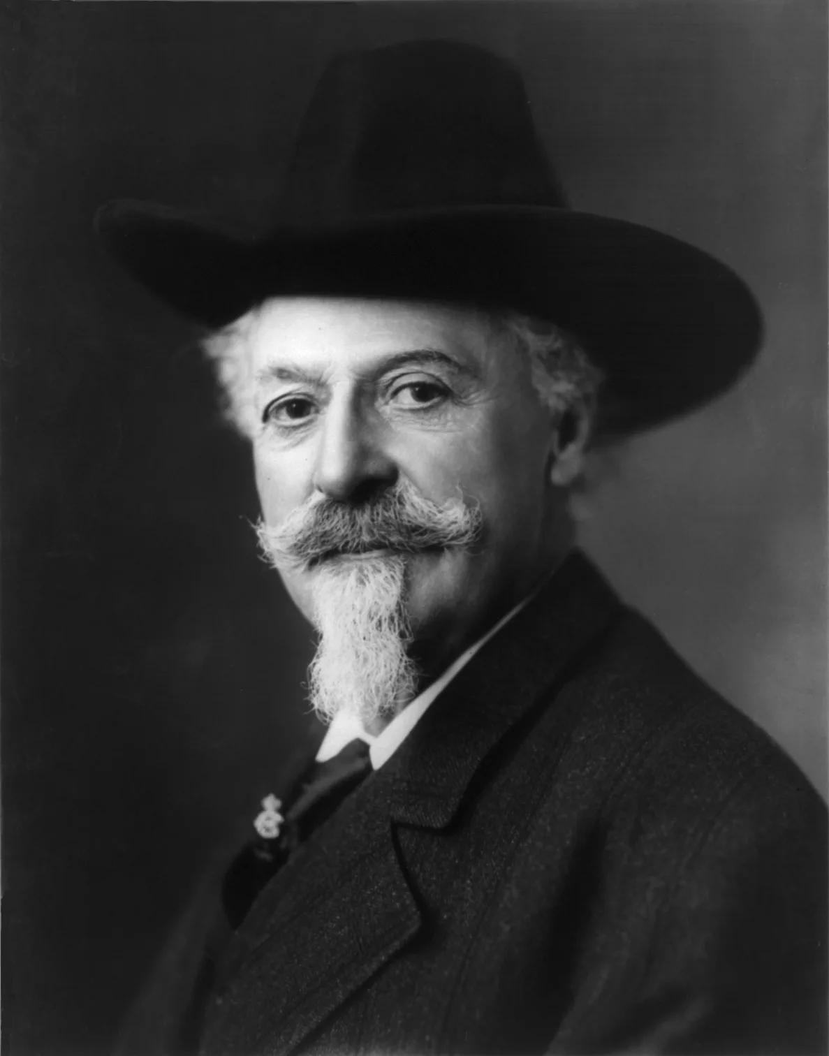
Buffalo Bill Cody's ownership stake in the High Jinks Ranch and nearby mines ties this rugged stretch of the Arizona Trail directly to Wild West folklore. The famous showman chased gold in these hills late in life — and his name still marks the map.
1 / 6How long is Passage 12's descent down Red Ridge and Oracle Ridge?
Passage 12 drops 17.8 miles from Marshall Gulch Trailhead to American Flag Ranch near Oracle.
Lesson 5 has 36 cards. Keep going in the free app.
Question - Take the lessons with you. Free, no account.Download on the App Store ↗Get it on Google Play ↗
-
 Pexels · chris clark · Pexels License ↗06
Water Sources & Carries
The reliable sources · Dry carries & caches
Lesson 6 · 10 cardsPexels · chris clark · Pexels License ↗Water: Manning Camp
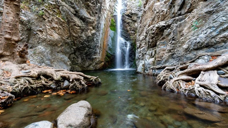
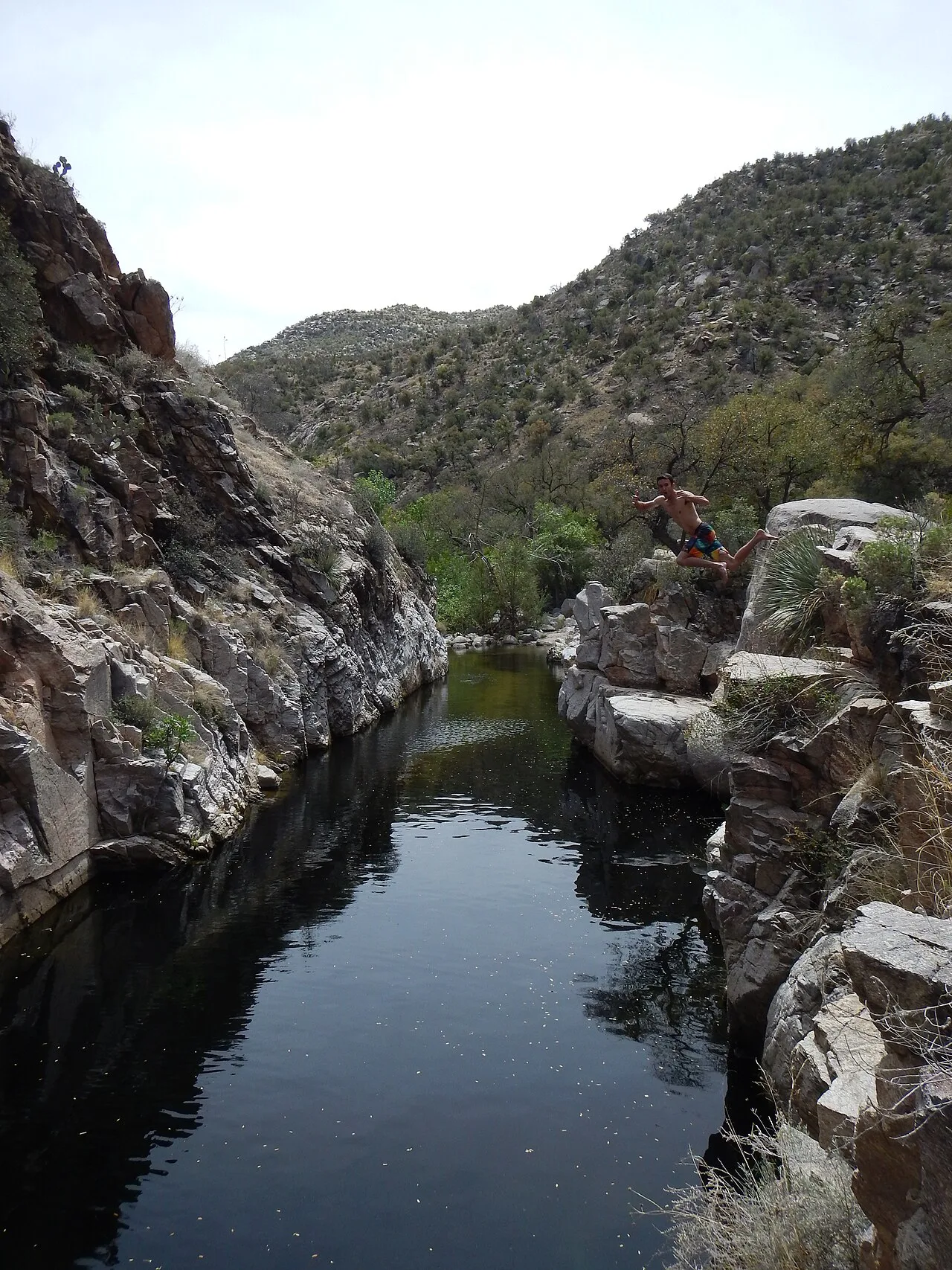
Manning Camp (≈7,920 ft) is the most reliable water on this stretch — a spring-fed, year-round source with a small waterfall in the high Rincons. For NOBO hikers it's the reward at the top of the big climb and the anchor for planning the long carries on either side.
 Outdoor Craziness · CC BY-SA 3.0 ↗
Water: Hutch's Pool
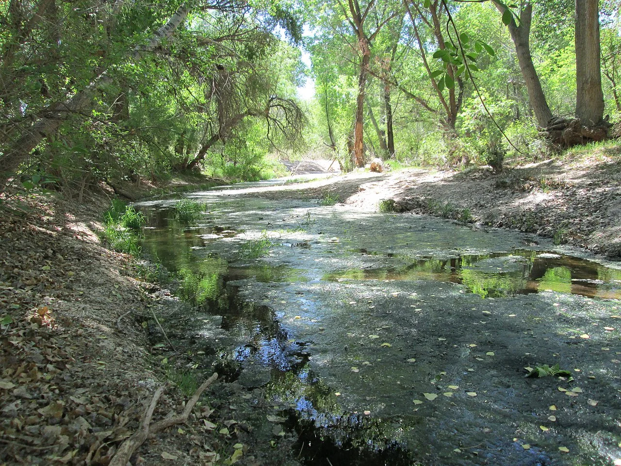
Hutch's Pool, a deep perennial pool fed by Sabino Creek (≈3,800 ft), is a dependable water source and swimming hole in the lower Catalinas. It sits at the foot of the vertical-mile climb to Romero Pass — the last sure water before the long ascent.
 $1LENCE D00600D · CC BY-SA 3.0 ↗
Water: Cienega Creek
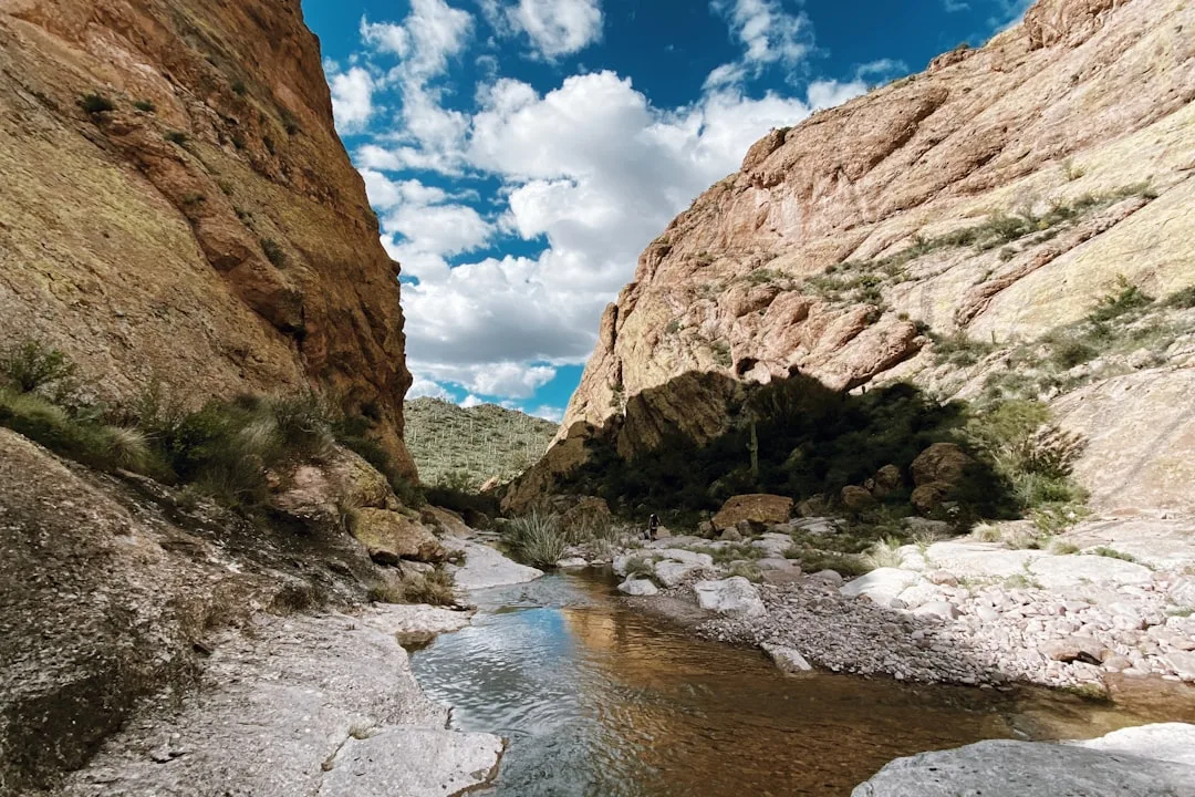
Cienega Creek is a perennial stream on Passage 8 — but it requires purification, and stepping off the designated AZT route to reach the wider preserve needs a permit. Treat it as a useful but rule-bound early-season source.
 Unsplash · PJ Gal-Szabo · Unsplash License ↗
Check the AZT Water Report
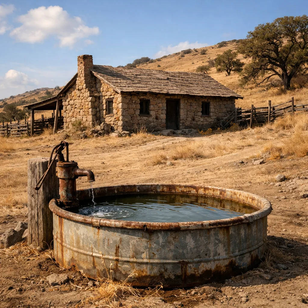
Most creeks on this stretch — Rincon, Chimenea, Caliente, and Lemmon among them — are seasonal and rain- or snowmelt-dependent. Always check the current AZT Water Report (and recent FarOut comments) before committing to a carry; reliability swings wildly between wet and dry years.
 AI-generated (gpt-image-1.5)
Water: High Jinks Ranch
Water is available at the historic High Jinks Ranch on Oracle Ridge — a reliable source low on the passage, near the end of the hot descent toward American Flag Ranch and Oracle. A reassuring last fill on a dry, exposed stretch.
1 / 10Which source is described as the most reliable water on the entire stretch?
Manning Camp (about 7,920 ft) is a spring-fed, year-round source in the high Rincons and the anchor for planning carries. The others are reliable too, but Manning is described as the single most reliable.
Lesson 6 has 36 cards. Keep going in the free app.
Question -
 Pexels · Brett Buskirk ↗07
Elevation, Mileage & Stats
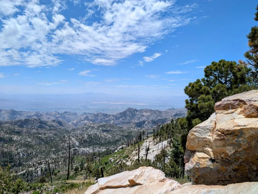
Passage mileages · Elevation profile
Lesson 7 · 4 cards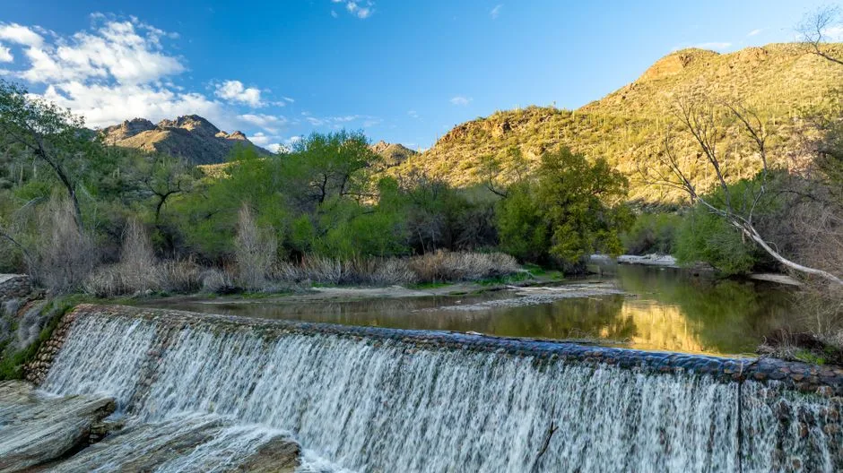 Pexels · Andreas Staver ↗
A dip in Sabino Canyon
Passage 11 drops to about 3,640 feet in the West Fork of Sabino Canyon, its lowest point, before climbing back up toward Romero Pass.
1 / 4Which of the five Arizona Trail passages in the Rincon-Catalina section is the longest?
Passage 9 runs 24.3 miles — the longest of the five — and also the highest, since it contains the full desert-to-conifer Rincon climb. The five passages total 87.9 miles.
Lesson 7 has 47 cards. Keep going in the free app.
Question -
 Wikimedia Commons · Eegorr · CC BY 3.0 ↗08
Trailheads & Access
Getting on and off trail
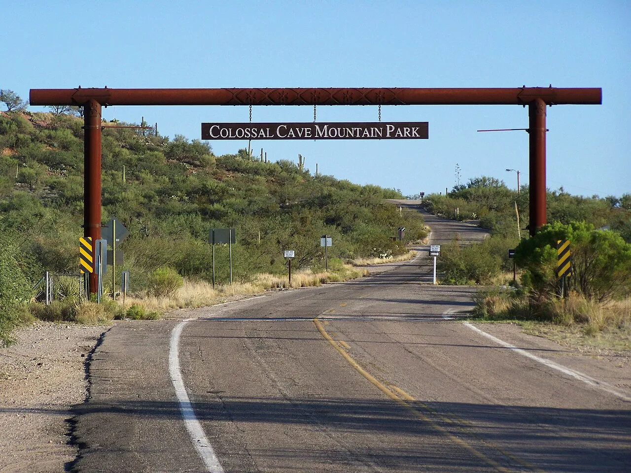
Lesson 8 · 8 cardsWikimedia Commons · Eegorr · CC BY 3.0 ↗Trailhead: Colossal Cave Mountain Park
Colossal Cave Mountain Park, reached via Old Spanish Trail, is a mid-Passage-8 access point and water/resupply connection. A park fee is required to enter and park, and hikers stopping there must use the designated campgrounds.
 Wikimedia Commons · Alice Wondrak-Biel · Public domain ↗
Trailhead: Loma Alta (Saguaro NP East)
The Loma Alta Trailhead (off Old Spanish Trail via Camino Loma Alta) accesses the Saguaro National Park boundary, but there's no direct vehicle access to the AZT — it takes about a 3-mile hike east on the Hope Camp Trail to connect. Parking is limited.
1 / 8Which trailhead is the southern access point at Davidson Canyon for this stretch of the AZT?
The Gabe Zimmerman Trailhead at Davidson Canyon is the southern gateway to Passage 8; the others are mid-section or northern access points.
Lesson 8 has 33 cards. Keep going in the free app.
Question -
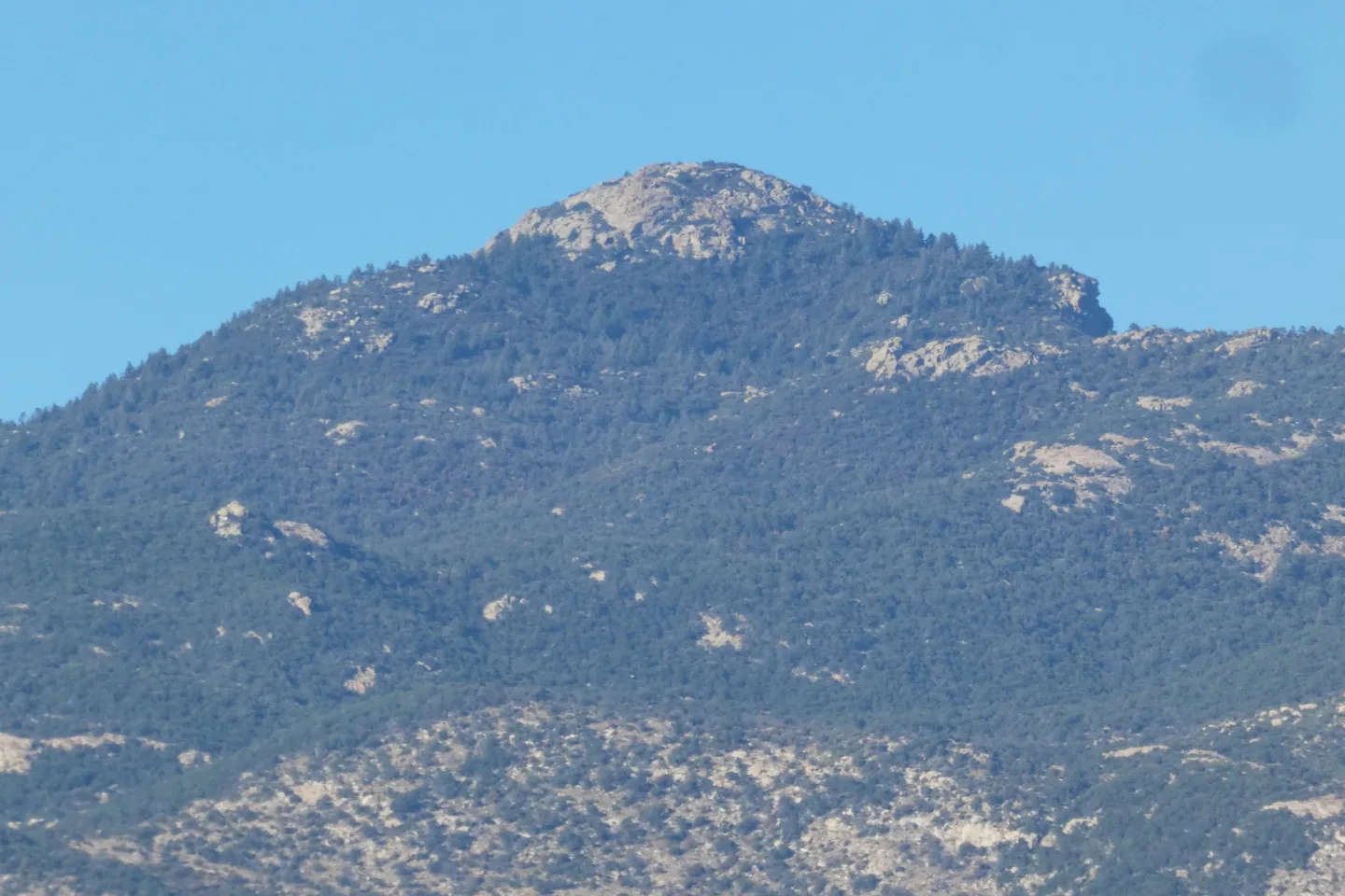 Wikimedia Commons · Raquel Baranow · CC BY 2.0 ↗09
Campsites & Permits
Where to camp · Permits & rules
Lesson 9 · 10 cardsWikimedia Commons · Raquel Baranow · CC BY 2.0 ↗Camp: Manning Camp
Manning Camp (≈7,920 ft, Passage 9) is the premier high-country site: a reliable year-round spring, and a designated Saguaro NP backcountry camp requiring a recreation.gov permit. It's the most coveted reservation on the stretch — book early.
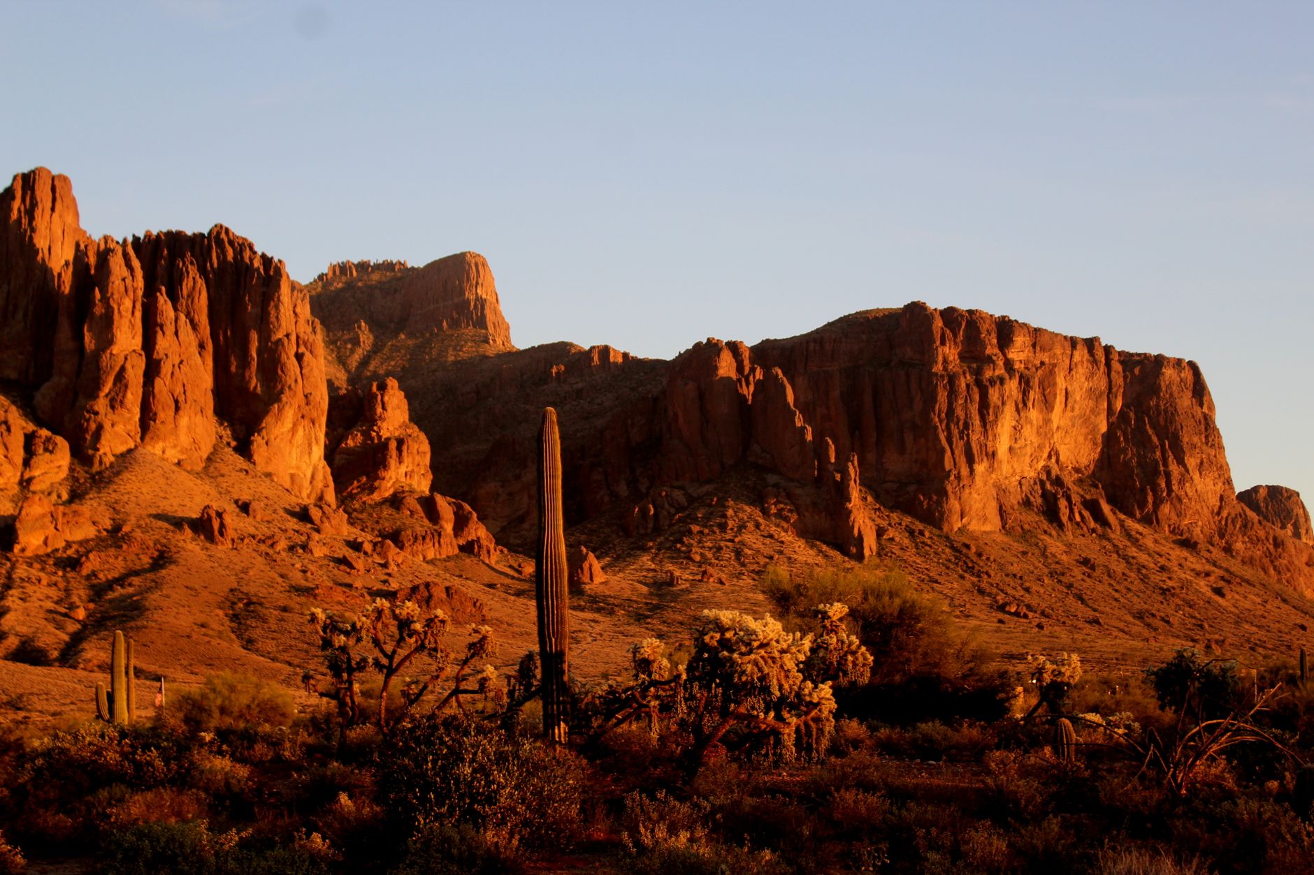 Pexels · jerry South ↗
Camp: Molino Basin
Molino Basin Campground (Passage 10) is an established Forest Service site with seasonal water — but the spigots are shut off and the campground typically closes for the summer by the end of April. Don't rely on it for water in the hot months.
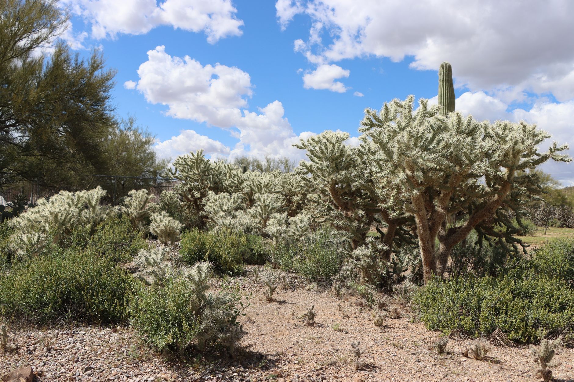 Pexels · Lindsey Willard ↗
Camp: Gordon Hirabayashi
The Gordon Hirabayashi Campground at the Passage 10/11 boundary is an established site requiring no special trail permit, but it has no water. It's a convenient staging point for the Catalina climb — just be sure you've carried enough water in.
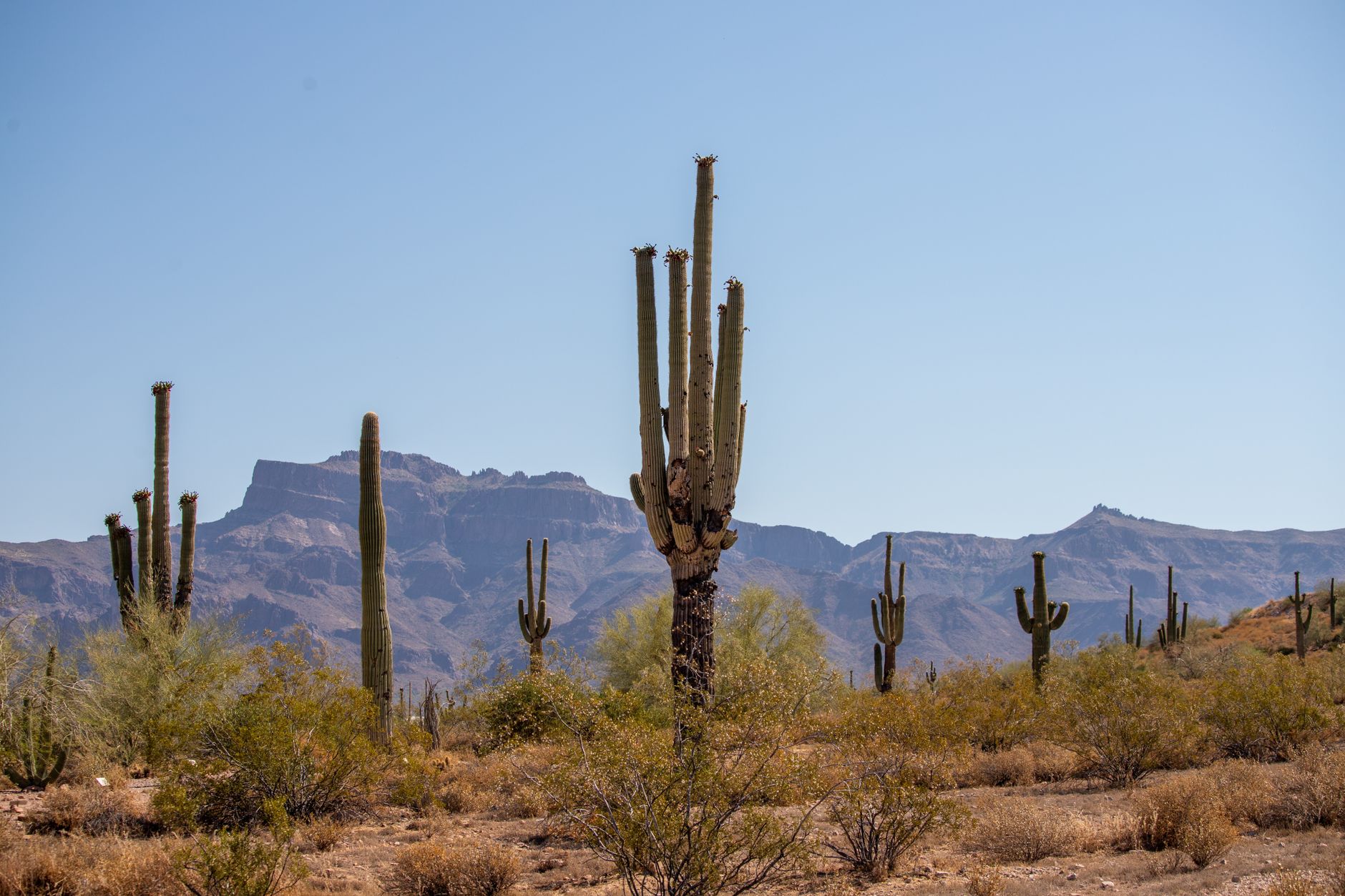 Pexels · Paco Montoya ↗
Camp: Hutch's Pool
Hutch's Pool (≈3,800 ft, Passage 11) is a popular dispersed campsite beside a perennial pool fed by Sabino Creek — water, a swimming hole, and shade. It sits at the base of the vertical-mile climb to Romero Pass, making it a natural place to camp before the big ascent.
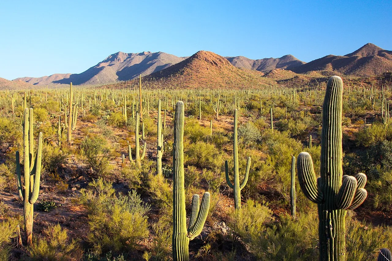 Joe Parks from Berkeley, CA · CC BY 2.0 ↗
Saguaro NP backcountry permits
Saguaro National Park strictly enforces backcountry permits and reservations for its designated sites, including Manning Camp and Grass Shack. Reserve through recreation.gov before your hike — there is no legal dispersed camping in the park, so a permit is mandatory to overnight in the Rincons.
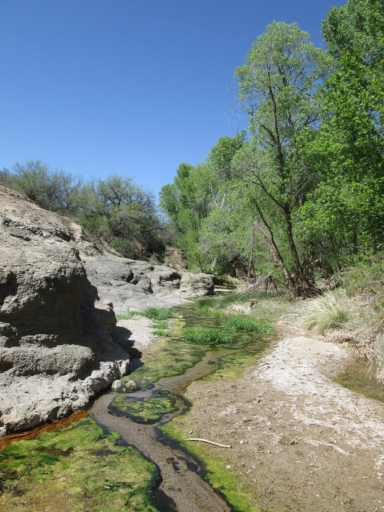 Wikimedia Commons · $1LENCE D00600D · CC BY-SA 3.0 ↗
Cienega Creek permit
The Cienega Creek Natural Preserve requires a permit if you step off the designated Arizona Trail route. Through-hikers staying on the AZT are fine, but exploring the wider preserve — or camping there — needs the proper Pima County permit.
1 / 10How must hikers reserve Saguaro National Park's designated backcountry sites like Manning Camp?
Saguaro NP strictly enforces backcountry permits and reservations, all booked through recreation.gov before the hike. Pima County covers Cienega Creek, not Saguaro's sites.
Lesson 9 has 38 cards. Keep going in the free app.
Question -
 Pexels · icon0 com ↗10
Navigation & Junctions
Rincon & Redington junctions · Catalina & Oracle junctions
Lesson 10 · 10 cardsPexels · icon0 com ↗The inconspicuous Hutch's Pool spur
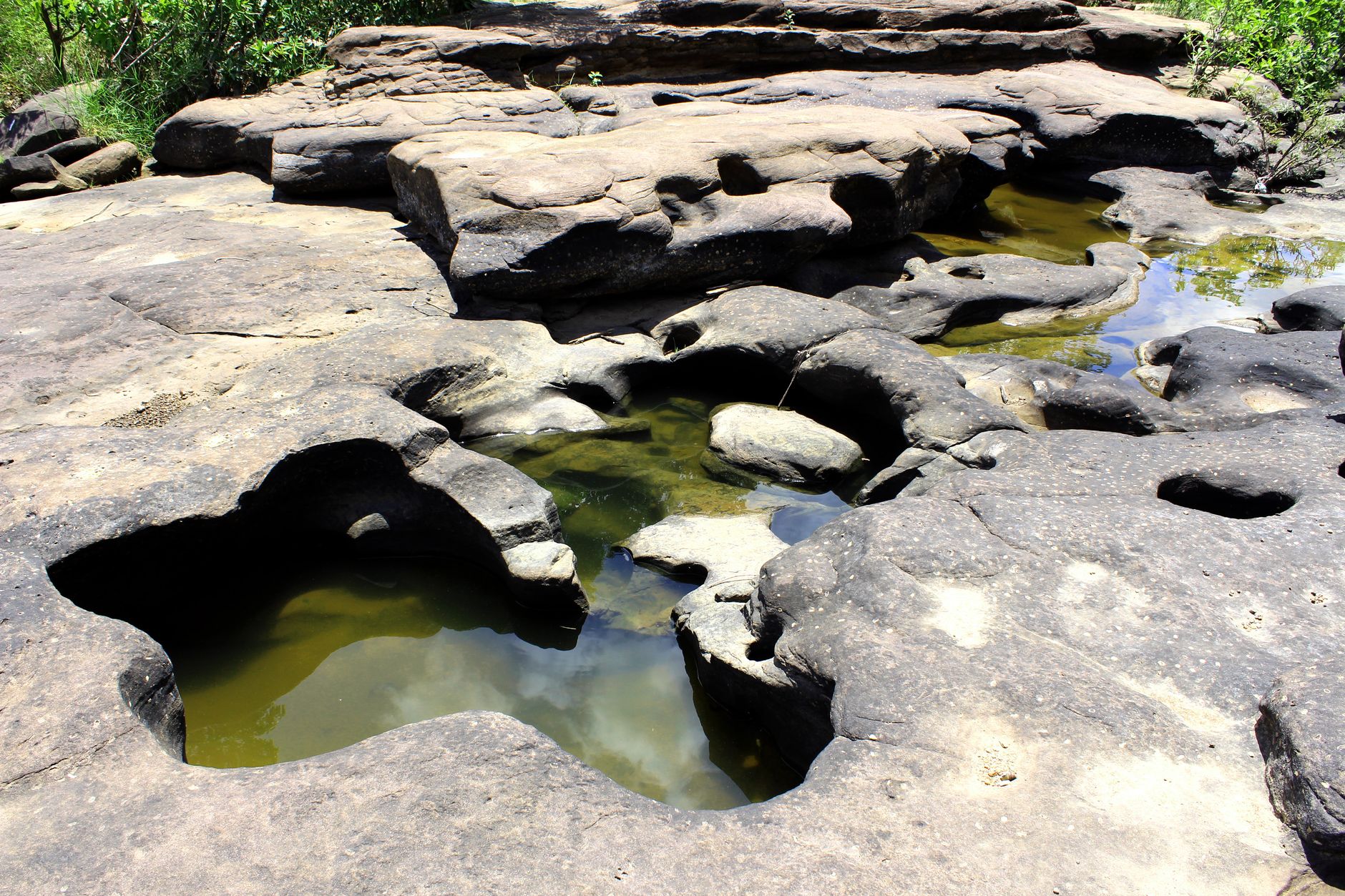
Near Hutch's Pool, a notoriously inconspicuous side trail leaves the AZT to reach the water. Hikers regularly walk past it — if you want to fill up or swim, watch carefully for the unsigned spur down to the pool.
1 / 10Climbing the Rincons south to north, which junction does the AZT reach FIRST?
Northbound, the AZT joins the Quilter Trail first, then the Manning Camp Trail, then passes the Mica Mountain junction before the Italian Spring Trail descent.
Lesson 10 has 53 cards. Keep going in the free app.
Question -
 Wikimedia Commons · Joe Parks from Berkeley, CA · CC BY 2.0 ↗11
Ecology & Life Zones
Sky islands & the six life zones
Lesson 11 · 5 cardsWikimedia Commons · Joe Parks from Berkeley, CA · CC BY 2.0 ↗Sonoran Desert scrub
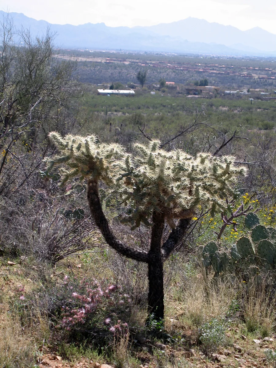
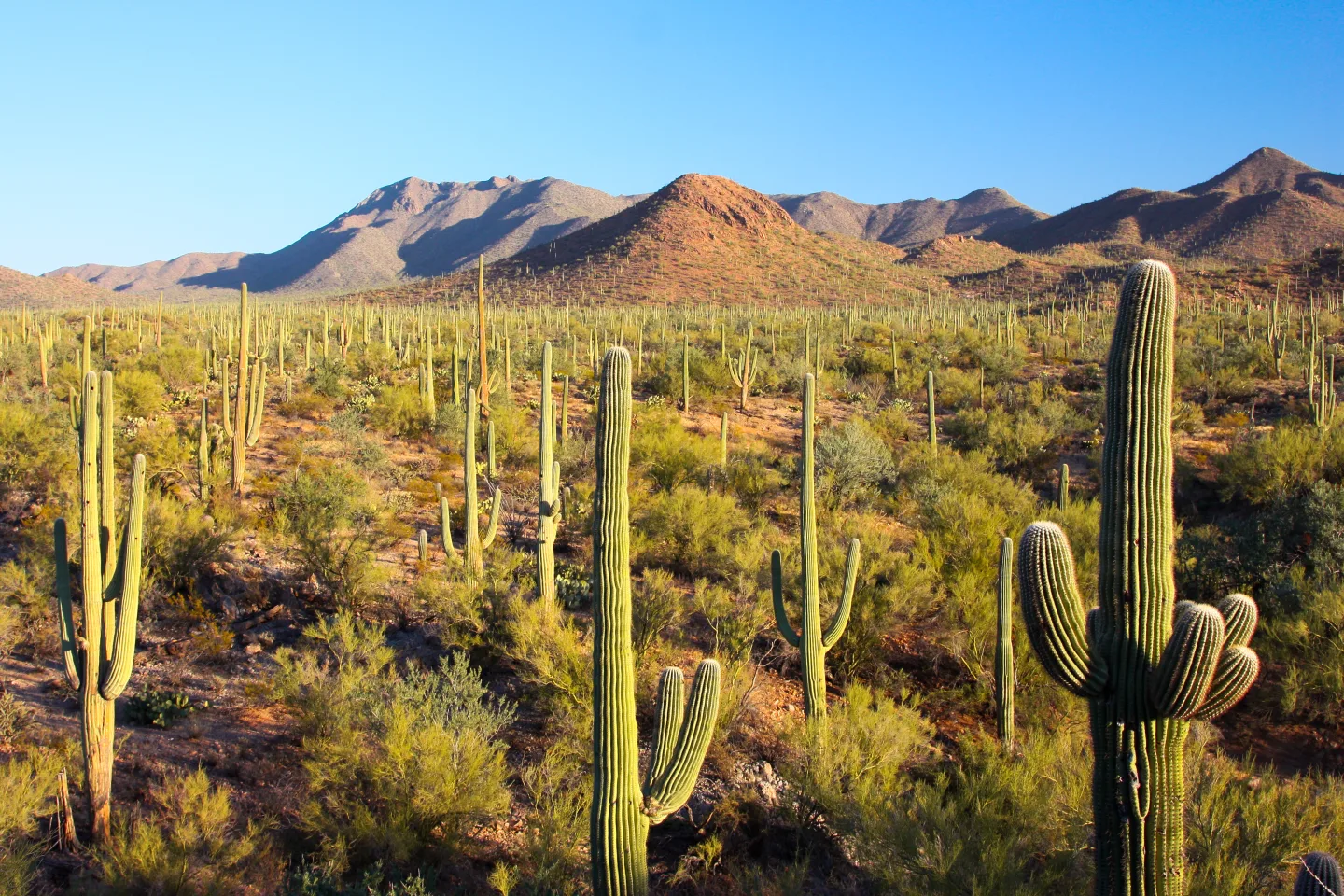
The lowest elevations are Sonoran Desert scrub, defined by arborescent (tree-like) cacti such as the saguaro, desert legumes like mesquite and palo verde, and small-leaved (microphyllous) shrubs adapted to drought and heat.
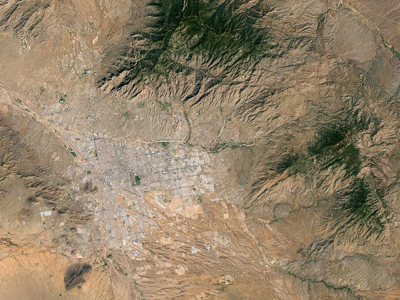 Image by Robert Simmon, based on data provided by the Landsat 7 science team. · Public domain ↗
Six biotic communities
The route traverses six distinct biotic communities stacked by elevation: desert scrub, desert grassland, oak woodland, pine-oak woodland, pine forest, and mixed-conifer forest. Climbing from bottom to top is the rough ecological equivalent of driving from northern Mexico to Canada.
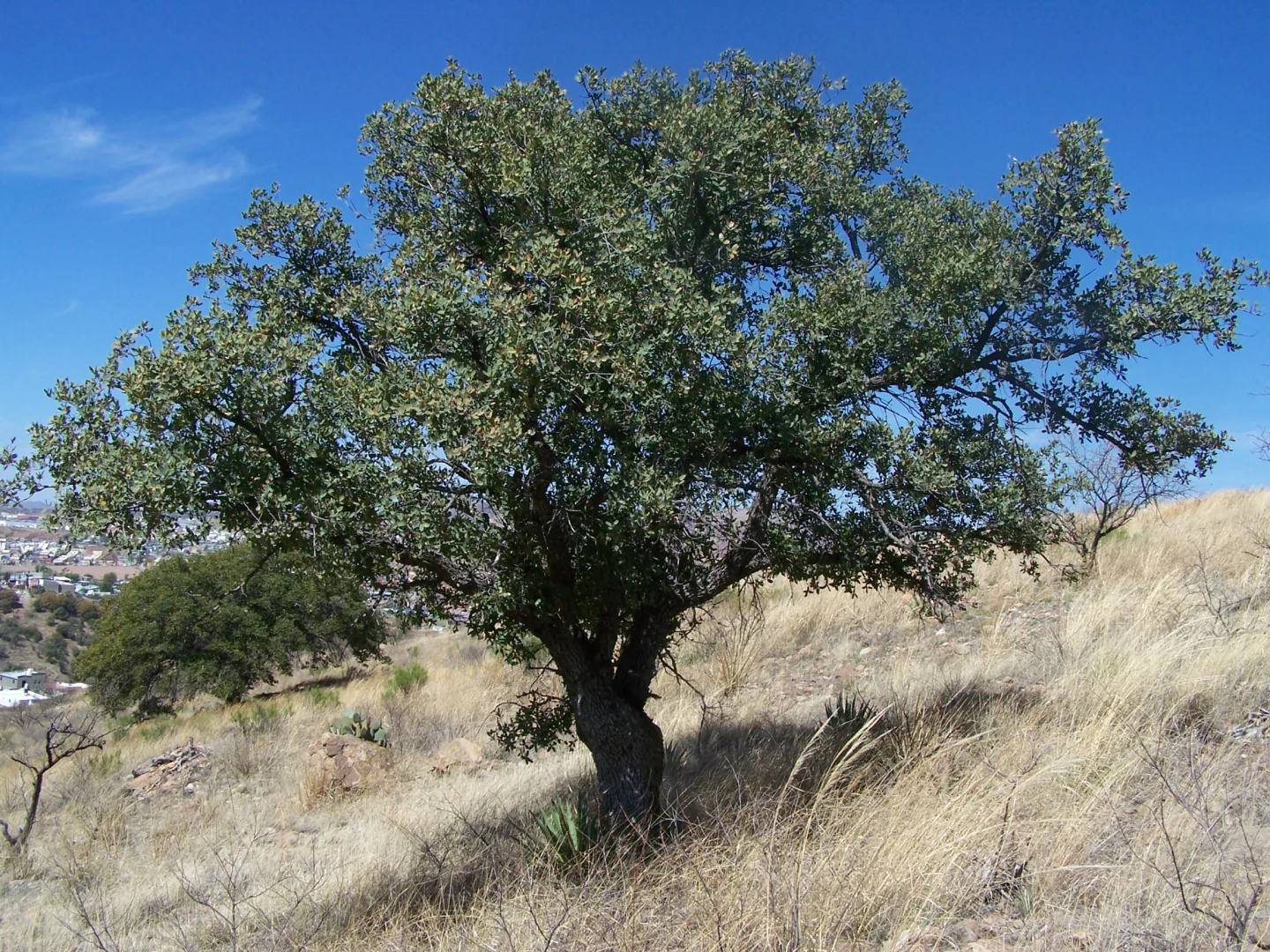 Wikimedia Commons · Deiv mm · Public domain ↗
Madrean oak woodland
The Madrean oak woodland is the transition zone, dominated by evergreen oaks and pointleaf manzanita. This 'encinal' belt — a hallmark of the Madrean sky islands — marks the shift from desert to mountain as the air grows cooler and wetter.
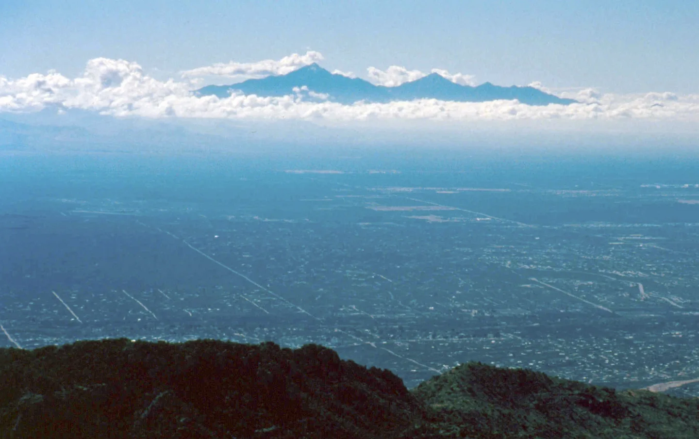 Wikimedia Commons · Unknown author · Public domain ↗
Plants found nowhere else
The extreme elevational range and long isolation of these sky islands let plants that occur nowhere else in the United States thrive in the higher zones. The mountains act as refuges, stranding northern and Mexican species far from their main ranges.
1 / 5The higher zones of these sky islands harbor plants that occur nowhere else in what area?
The higher zones hold plants that occur nowhere else in the United States. The other regions are distractors, not the stated scope of the endemism.
Lesson 11 has 31 cards. Keep going in the free app.
Question -
 Wikimedia Commons · WClarke · CC BY-SA 3.0 ↗12
Flora & Fauna
Plants & small creatures · Reptiles, birds & mammals
Lesson 12 · 10 cardsWikimedia Commons · WClarke · CC BY-SA 3.0 ↗The saguaro
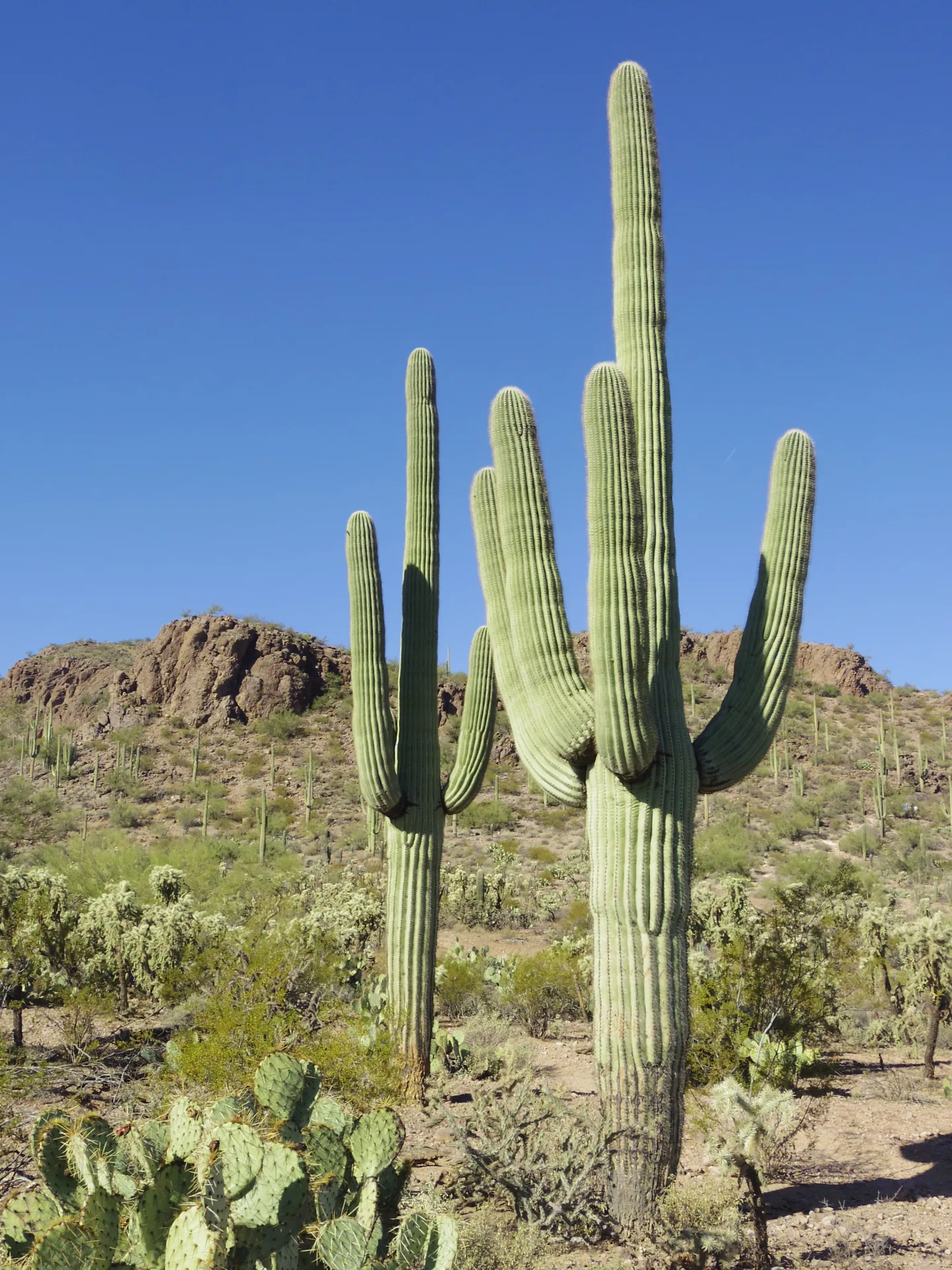
Saguaro cacti can live 150-200 years, grow up to around 40-60 feet tall, and weigh well over a ton when fully hydrated. They define the lowest stretch of trail — and their arms typically don't appear until the plant is 50-100 years old, depending on rainfall and growing conditions.
 Ricraider at English Wikipedia · Public domain ↗
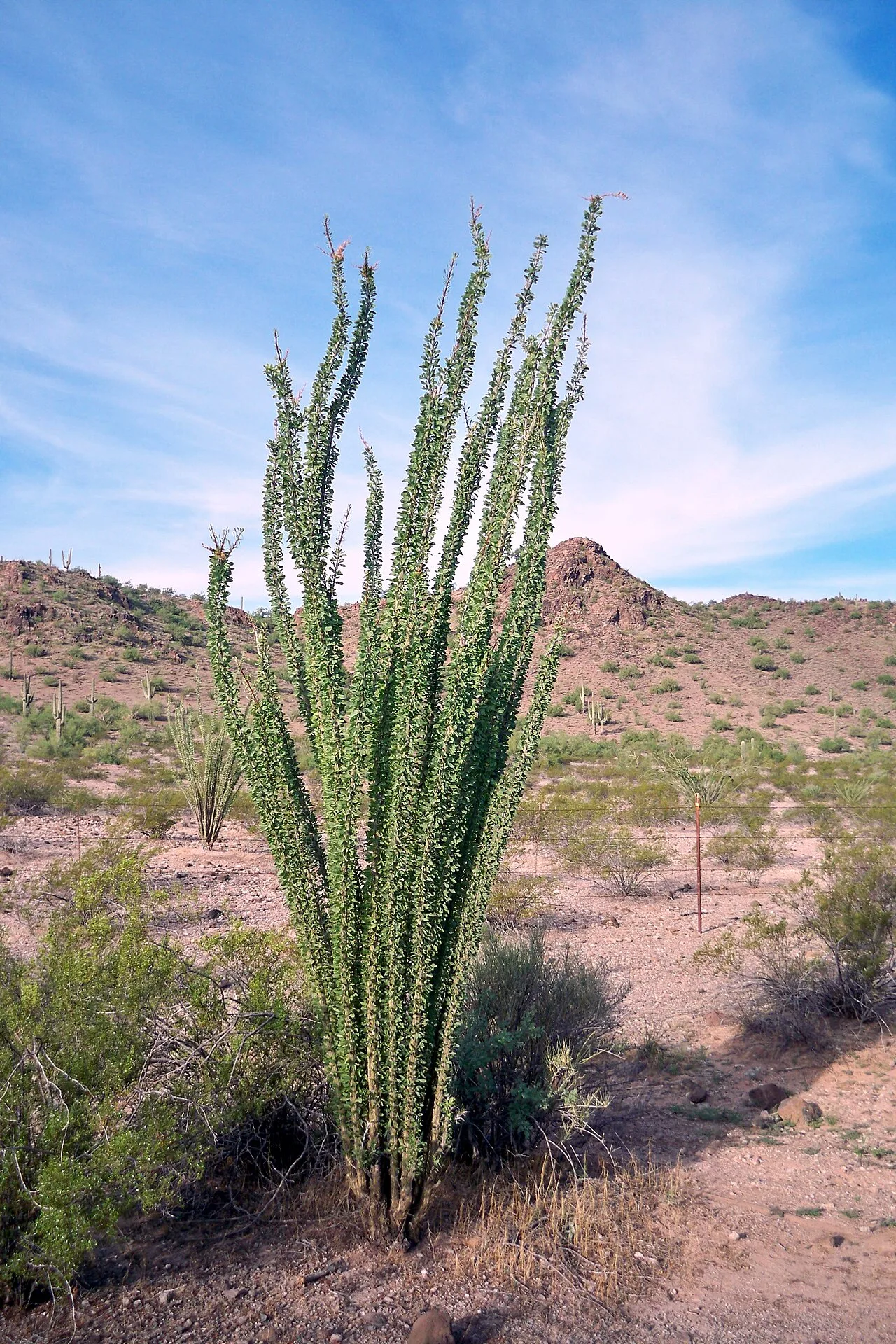
Ocotillo
Ocotillo look like clusters of dry, thorny sticks most of the year, then leaf out and produce brilliant red-orange flower spikes after spring rains — a vital nectar source for migrating hummingbirds. Their quick leaf-and-drop cycle tracks each pulse of moisture.
 Wikimedia Commons · cogdogblog on Flickr · CC BY 2.0 ↗
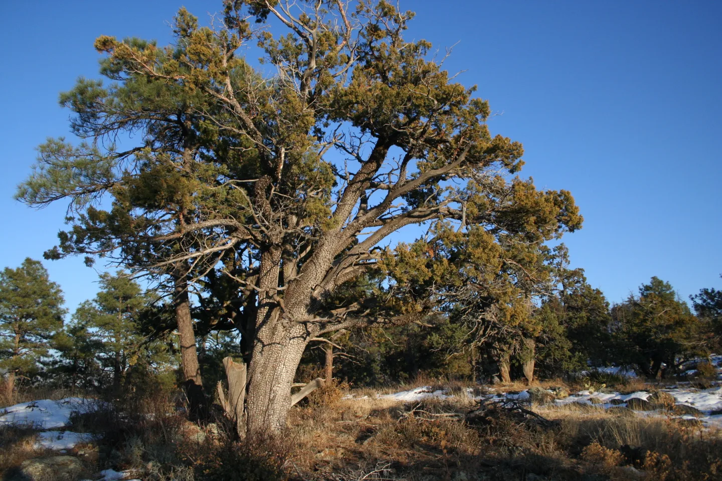
Alligator juniper
Alligator juniper is unmistakable for its deeply checkered bark that looks like alligator hide. A long-lived tree of the oak and pine-oak zones, it's one of the easiest sky-island species to identify on sight along the mid-elevation trail.
 Mike Ostrowski · CC BY-SA 4.0 ↗
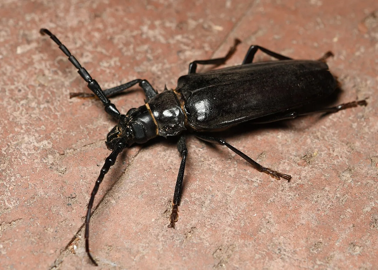
Palo verde beetle
Palo verde beetles spend 3-4 years underground as grubs feeding on tree roots before emerging during the summer monsoon as huge (3+ inch) flying beetles. Despite their alarming size they're harmless to people — and beneficial for aerating the soil.
 Renee Grayson from Las Vegas, USA · CC BY 2.0 ↗
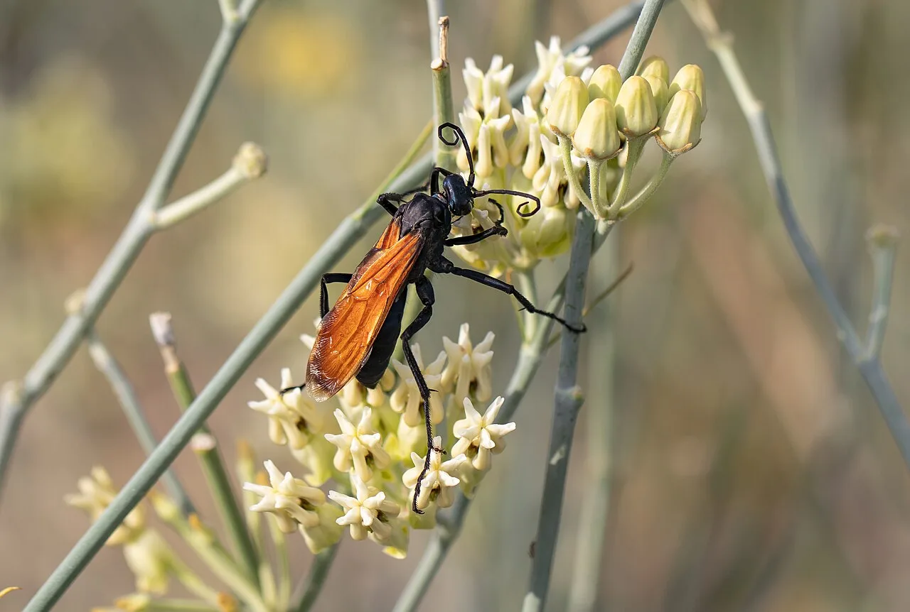
Tarantula hawk wasp
Tarantula hawks are large wasps with one of the most painful stings of any insect. They parasitize tarantulas — paralyzing a spider, dragging it to a burrow, and laying an egg so the larva can consume it alive. Striking to watch, but best given a wide berth.
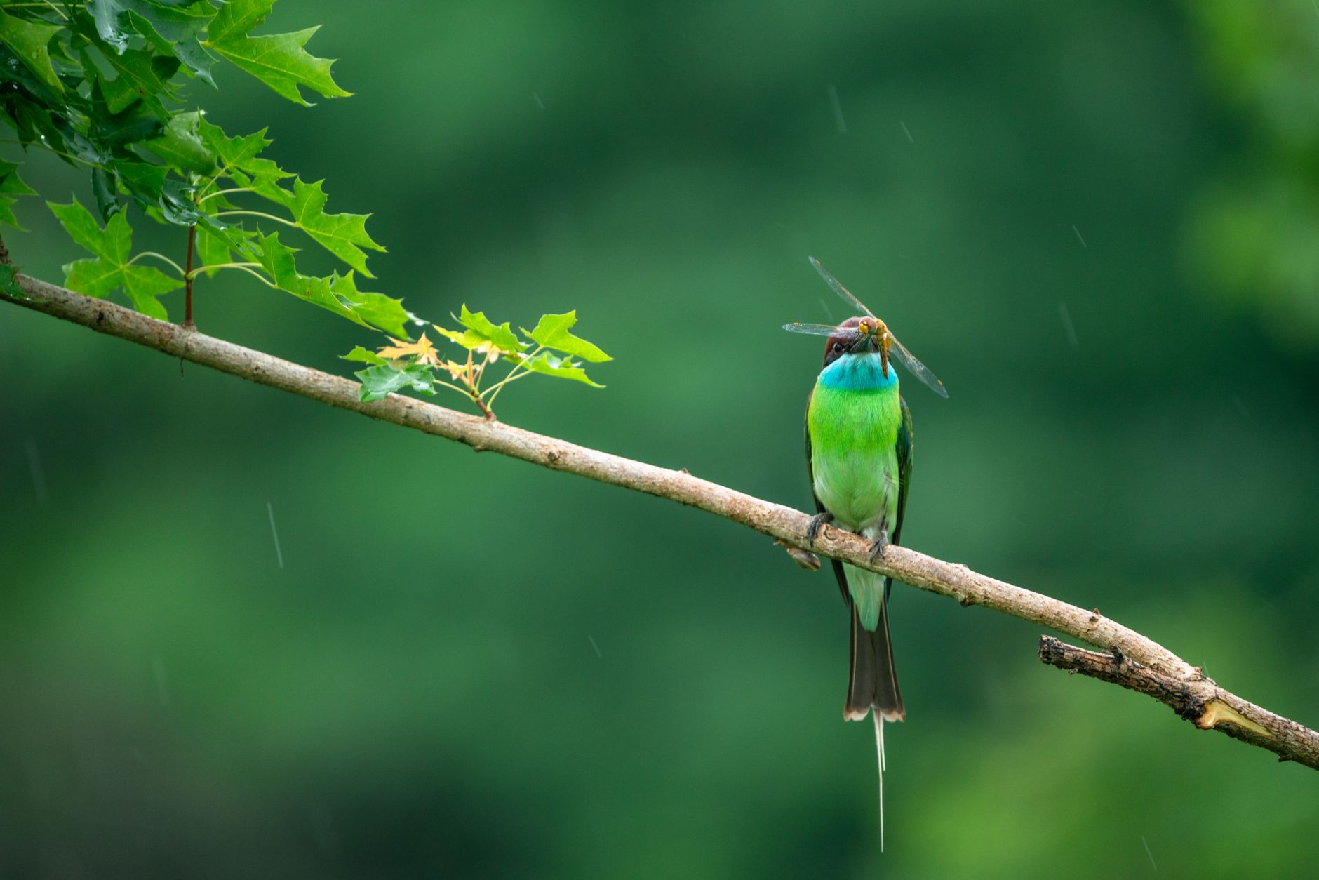 Pexels · iory zx ↗
Monsoon insect surge
The insect fauna explodes during the summer monsoon, when warm, humid air masses trigger emergences of beetles, moths, and more. It's a feast for birds, bats, and lizards — and the reason the high country buzzes with life in July and August.
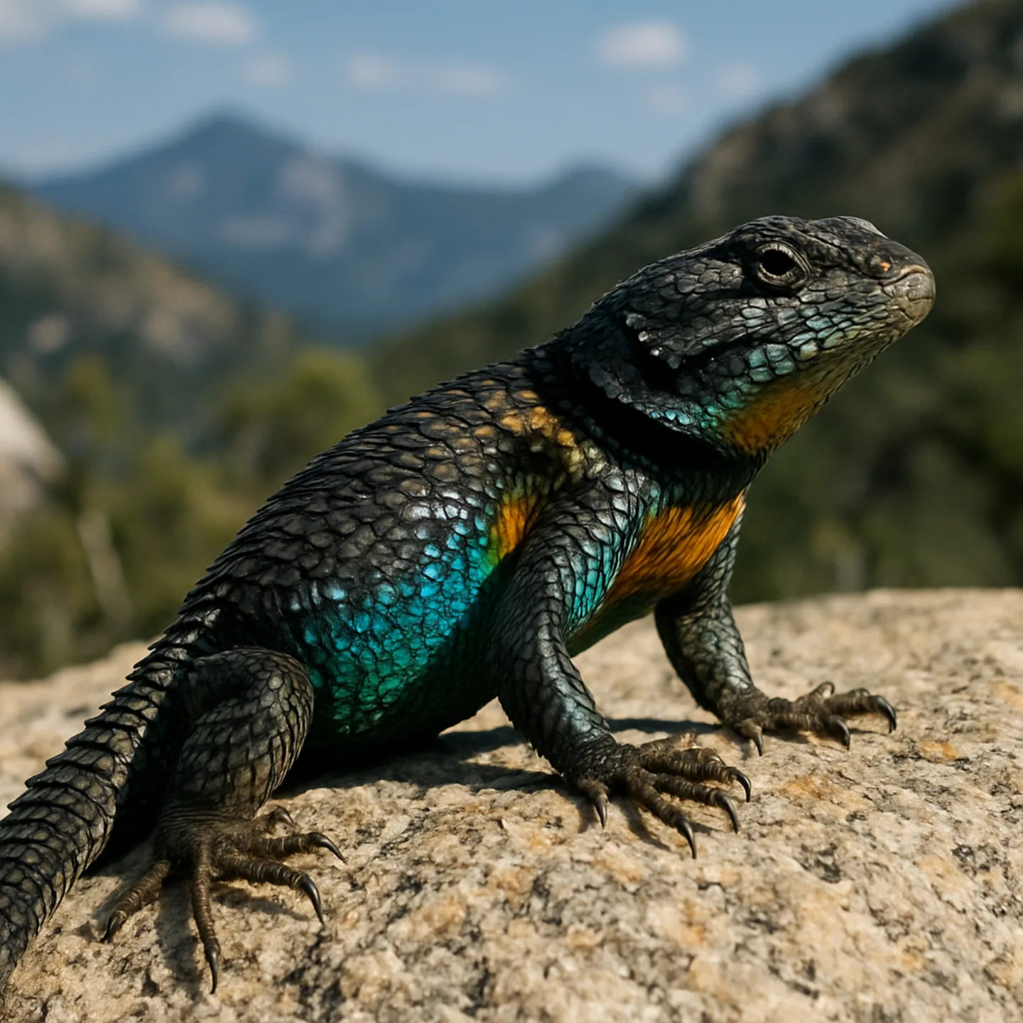 AI-generated (gpt-image-1)
Yarrow's spiny lizard
Yarrow's spiny lizard is a viviparous (live-bearing) reptile adapted to the high-elevation pine-oak forests and talus slopes — an unusual trait that helps it survive cool mountain nights where eggs might not incubate. Look for them sunning on boulders up high.
 Wikimedia Commons · Dakota L. · CC BY-SA 3.0 ↗
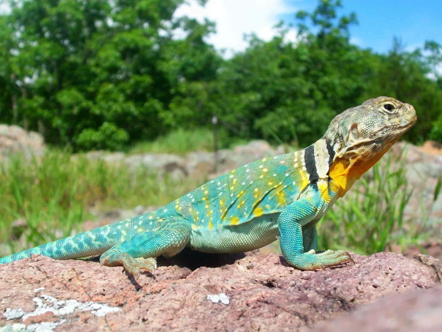
Collared lizard
The collared lizard haunts boulder-strewn slopes, hunting with large, muscular jaws and a startling ability to sprint bipedally — rearing onto its hind legs to run across the rocks. It's one of the most charismatic reptiles of the mid-elevation trail.
 California Department of Fish and Wildlife from Sacramento, CA, USA · CC BY 2.0 ↗
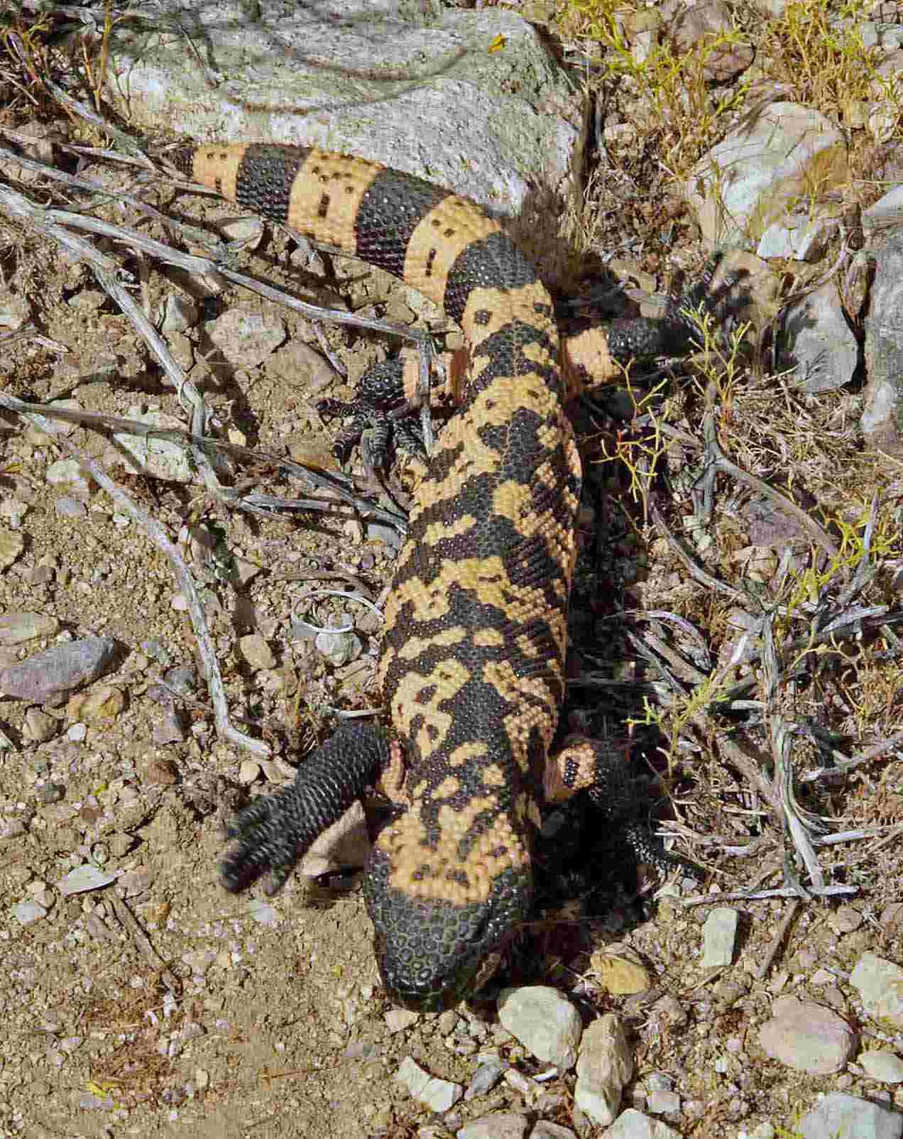
Gila monster
The venomous Gila monster spends up to 90% of its life underground, emerging mainly in late spring to feed on eggs and nestlings. Slow and non-aggressive, it's a rare and protected sight — admire it from a distance and never handle one.
 Wikimedia Commons · lwolfartist · CC BY 2.0 ↗
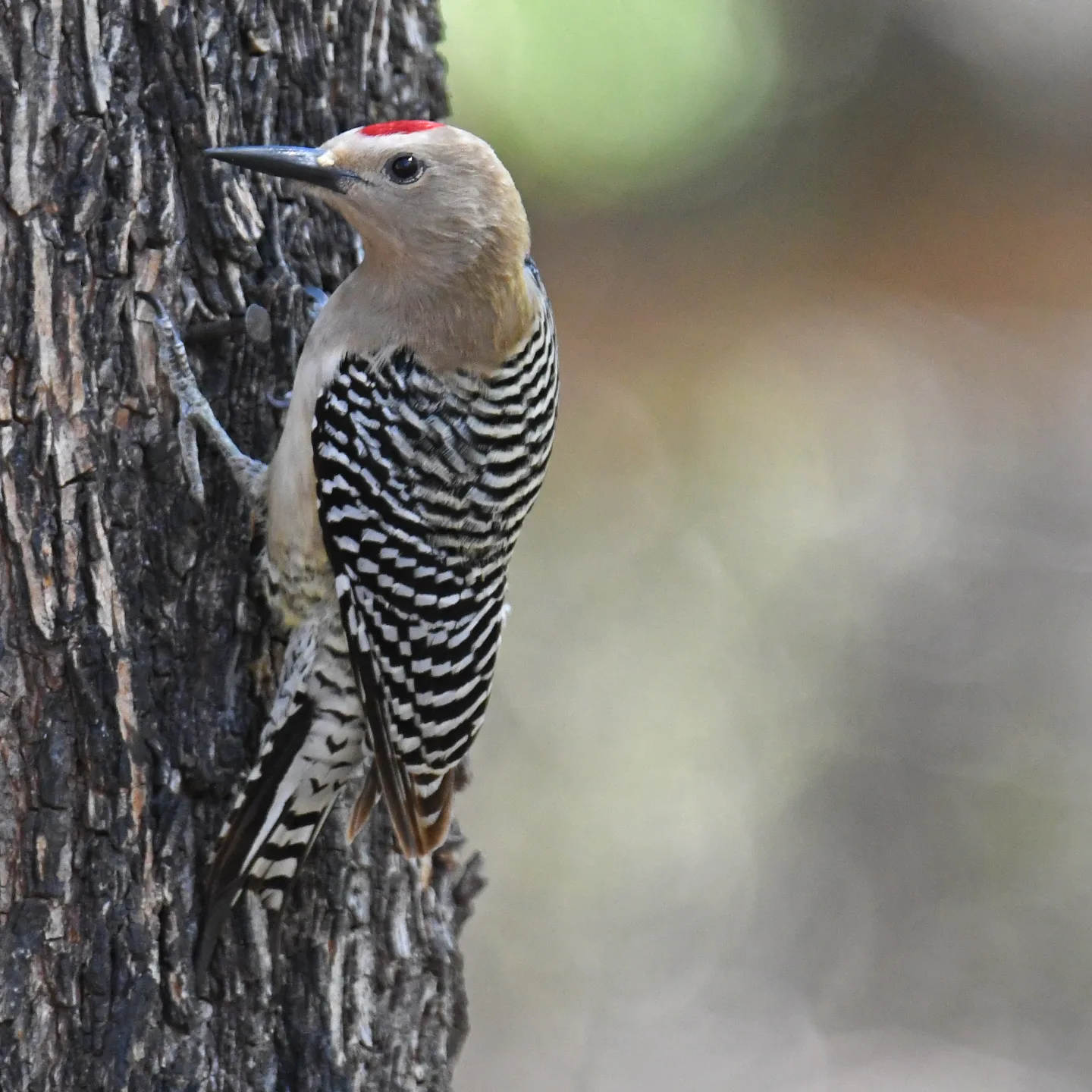
Saguaro apartments
Gila woodpeckers and gilded flickers excavate nest cavities in mature saguaros; once abandoned, those holes are reused by tiny elf owls and other birds. A single old saguaro becomes a high-rise of desert wildlife — one reason the cactus is a keystone species.
1 / 10Despite its name, the tarantula hawk is actually what kind of creature?
Despite the name, the tarantula hawk is a large wasp — with one of the most painful stings of any insect. It parasitizes tarantulas, paralyzing a spider and dragging it to a burrow so its larva can consume it alive.
Lesson 12 has 59 cards. Keep going in the free app.
Question -
 Wikimedia Commons · NASA, MODIS Rapid Response System · Public domain ↗13
Hazards & Safety
Weather & terrain · Wildlife & fire
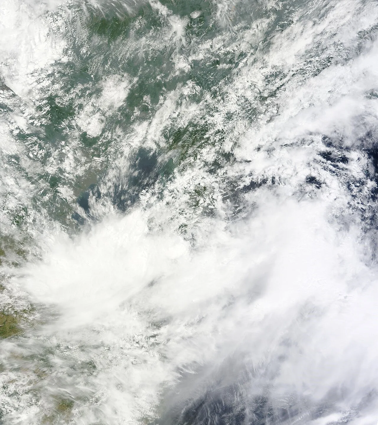
Lesson 13 · 9 cardsWikimedia Commons · NASA, MODIS Rapid Response System · Public domain ↗Monsoon storms and flash floods
The July-August monsoon brings violent afternoon thunderstorms with heavy rain, deadly lightning, and rapid flash flooding in canyons like Sabino. Get off ridgelines and out of drainages before midday storms build, and never camp or linger in a wash when rain threatens upstream.
 Pexels · Taryn Elliott · Pexels License ↗
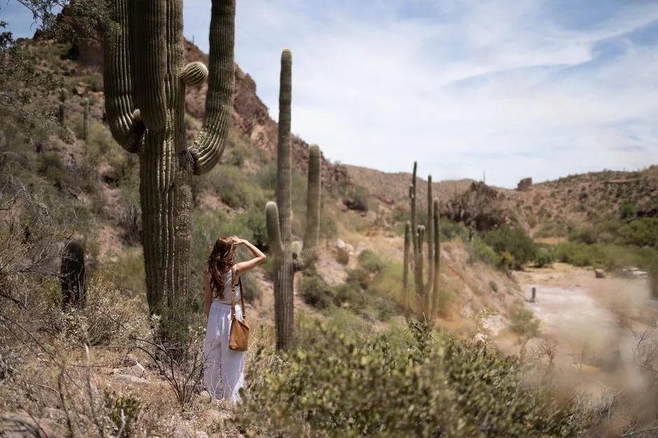
Extreme heat at low elevation
Heat is the deadliest hazard on the low passages: temperatures routinely exceed 100°F, and there's little shade or water on the desert stretches and Redington Pass. Hike the low country in the cool hours, carry ample water, and avoid the desert sections in summer entirely.
 Pexels · Alexandre P. Junior ↗
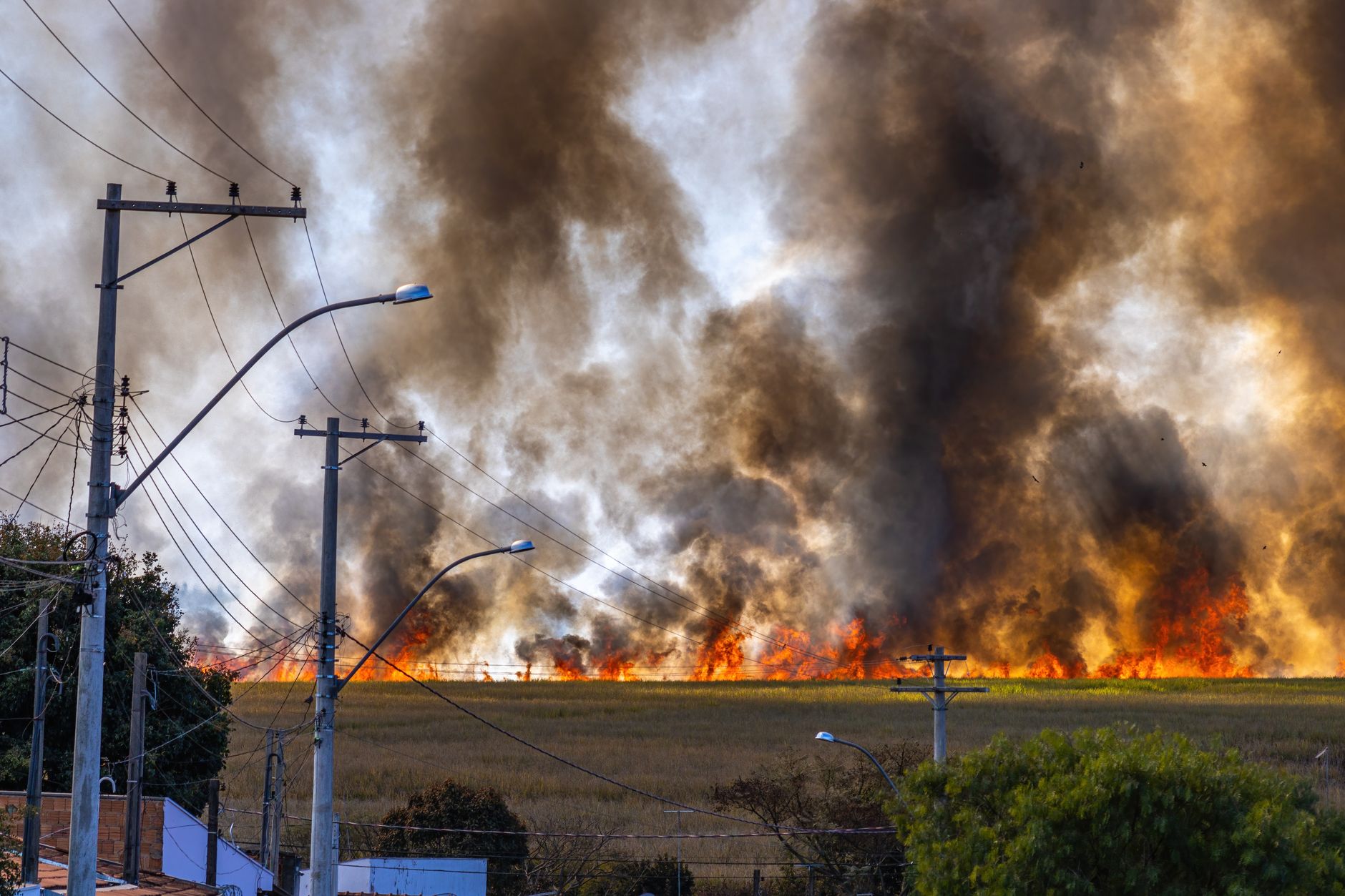
Buffelgrass and wildfire
Invasive buffelgrass forms continuous fuel where native desert plants leave bare ground, feeding hot, fast-moving wildfires that the saguaro-and-cactus desert is not adapted to survive. It's transforming fire behavior in the Sonoran Desert — and a reason fire danger can spike near the low trail.
 Wikimedia Commons · ALAN SCHMIERER · CC0 ↗
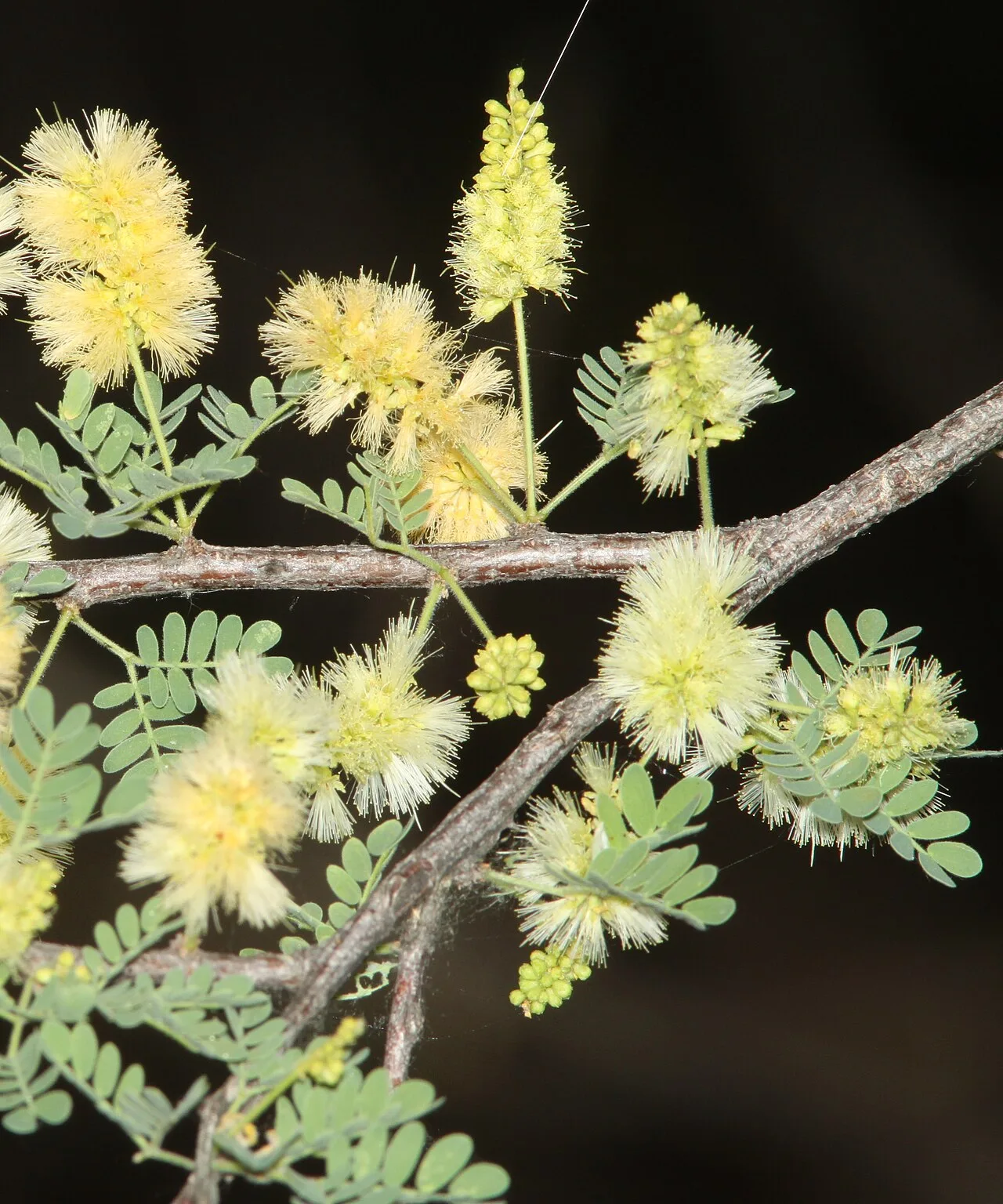
Summer overgrowth and catclaw
The southern passages see heavy summer overgrowth, especially cat-claw acacia, whose curved thorns grab and tear skin and gear. Long sleeves and pants are worth the heat penalty on overgrown stretches — catclaw earns its nickname 'wait-a-minute bush.'
 Wikimedia Commons · Benp123456789 · CC BY-SA 3.0 ↗
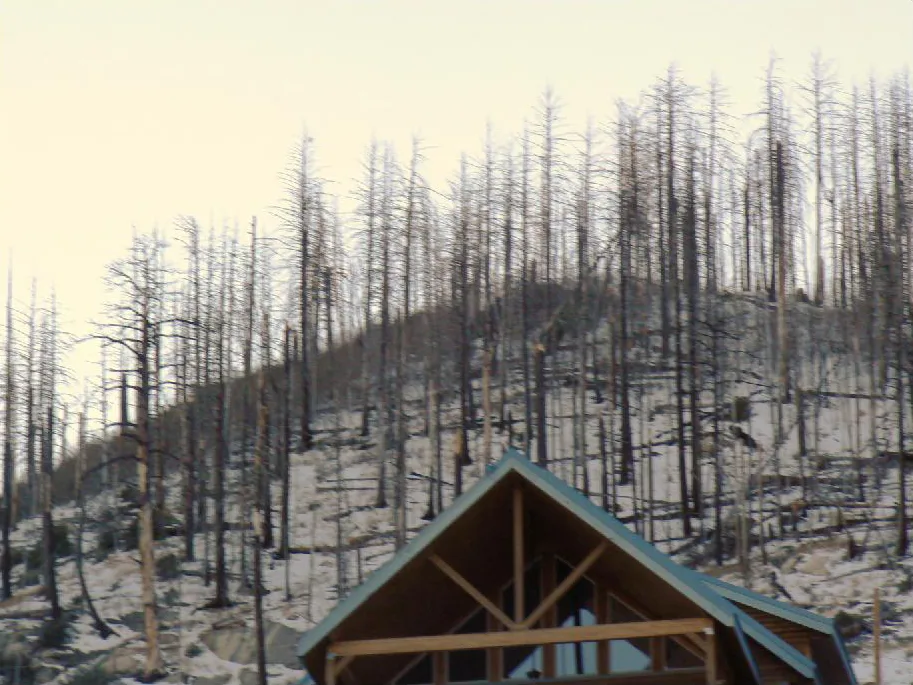
The 2003 Aspen Fire
The 2003 Aspen Fire burned much of Mount Lemmon, including parts of Summerhaven, and its scars still shape the trail: burned areas mean lost shade, downed timber, and altered navigation in places. It's a vivid lesson in how fire reshapes a sky island.
 Wikimedia Commons · Unknown author · Public domain ↗
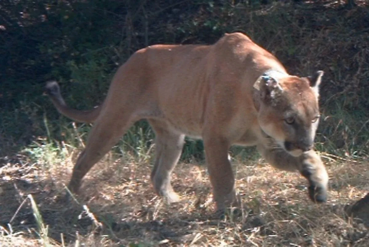
Bears and mountain lions
Black bears and mountain lions inhabit the mid-to-high elevations of both ranges. Store all food and scented items properly (use the bear boxes at camps), keep a clean camp, and never run from a lion — make yourself big and back away slowly.
 Wikimedia Commons · Scott Bauer, USDA Agricultural Research Service · Public domain ↗
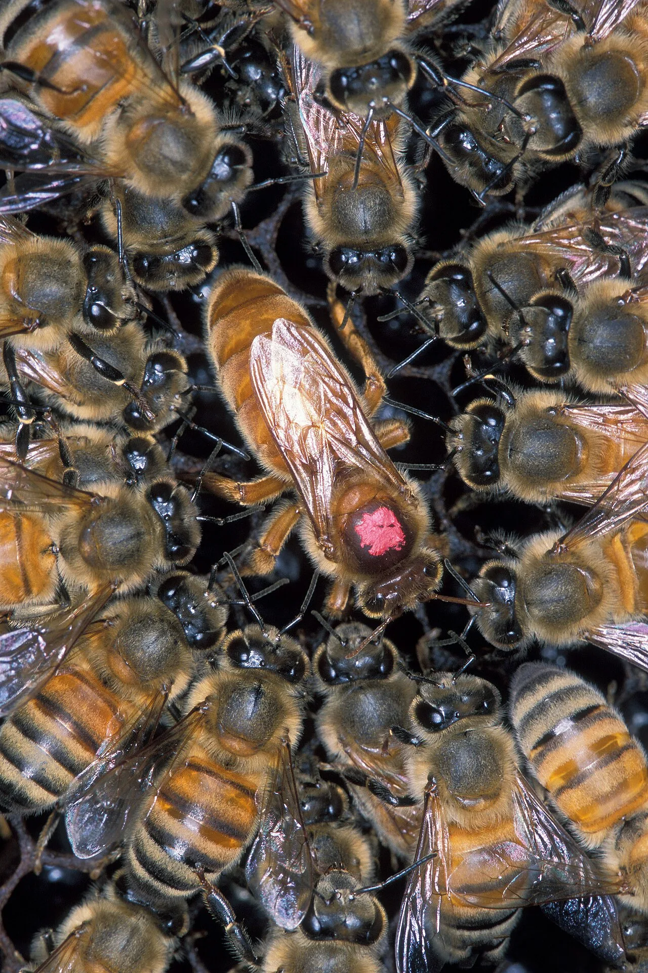
Africanized bees
Africanized ('killer') bees are established across the region and defend their hives aggressively. Give any hive or swarm a wide berth, and if attacked, run in a straight line to shelter (a building or vehicle) without flailing — don't jump in water, as they'll wait.
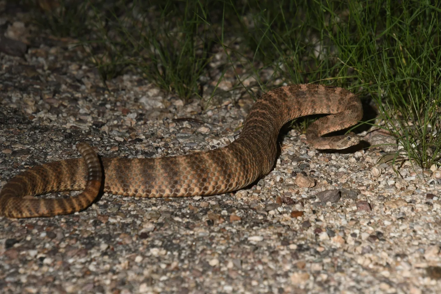 Wikimedia Commons · Mike Ostrowski · CC BY-SA 4.0 ↗
Rattlesnakes
Rattlesnakes — including the highly venomous Mohave and the tiger rattlesnake — are common across the lower and middle elevations. Watch hand and foot placement on rocky trails and around ledges, step on top of logs rather than over blindly, and give any snake room to retreat.
1 / 9Which is the deadliest hazard on the low desert passages?
Heat is the deadliest hazard on the low passages, where temperatures routinely top 100°F with little shade or water — hike the cool hours and avoid the desert in summer.
Lesson 13 has 39 cards. Keep going in the free app.
Question -
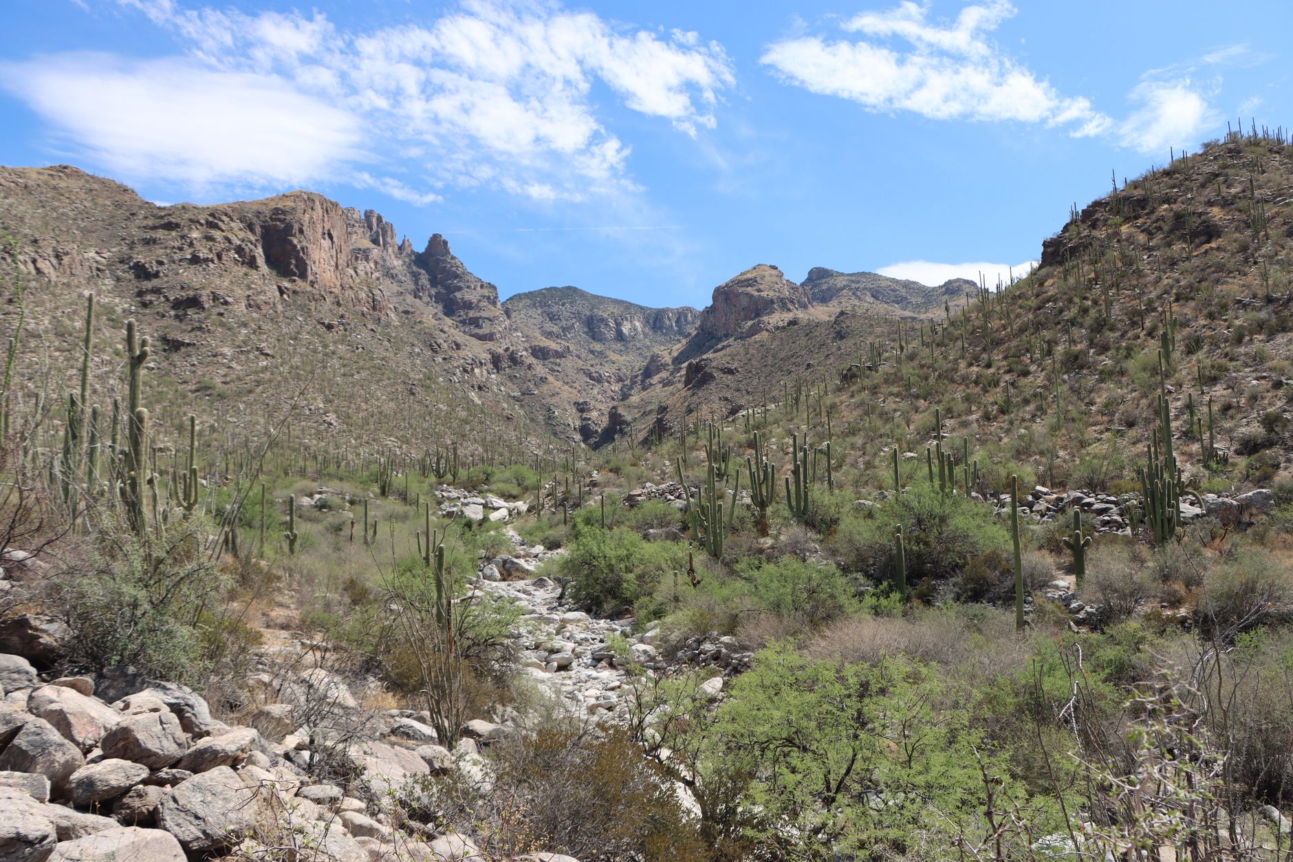 Pexels · Lindsey Willard ↗14
Water Sources Up Close
Rincon water sources · Catalina and Redington water
Lesson 14 · 8 cardsPexels · Lindsey Willard ↗Chimenea Creek — first water in Passage 9
Chimenea Creek is the first seasonal water northbound in Passage 9 after entering Saguaro National Park, draining the largest watershed in the Rincons. Flow is seasonal and not guaranteed in dry years, so always check the AZT Water Report before relying on it.
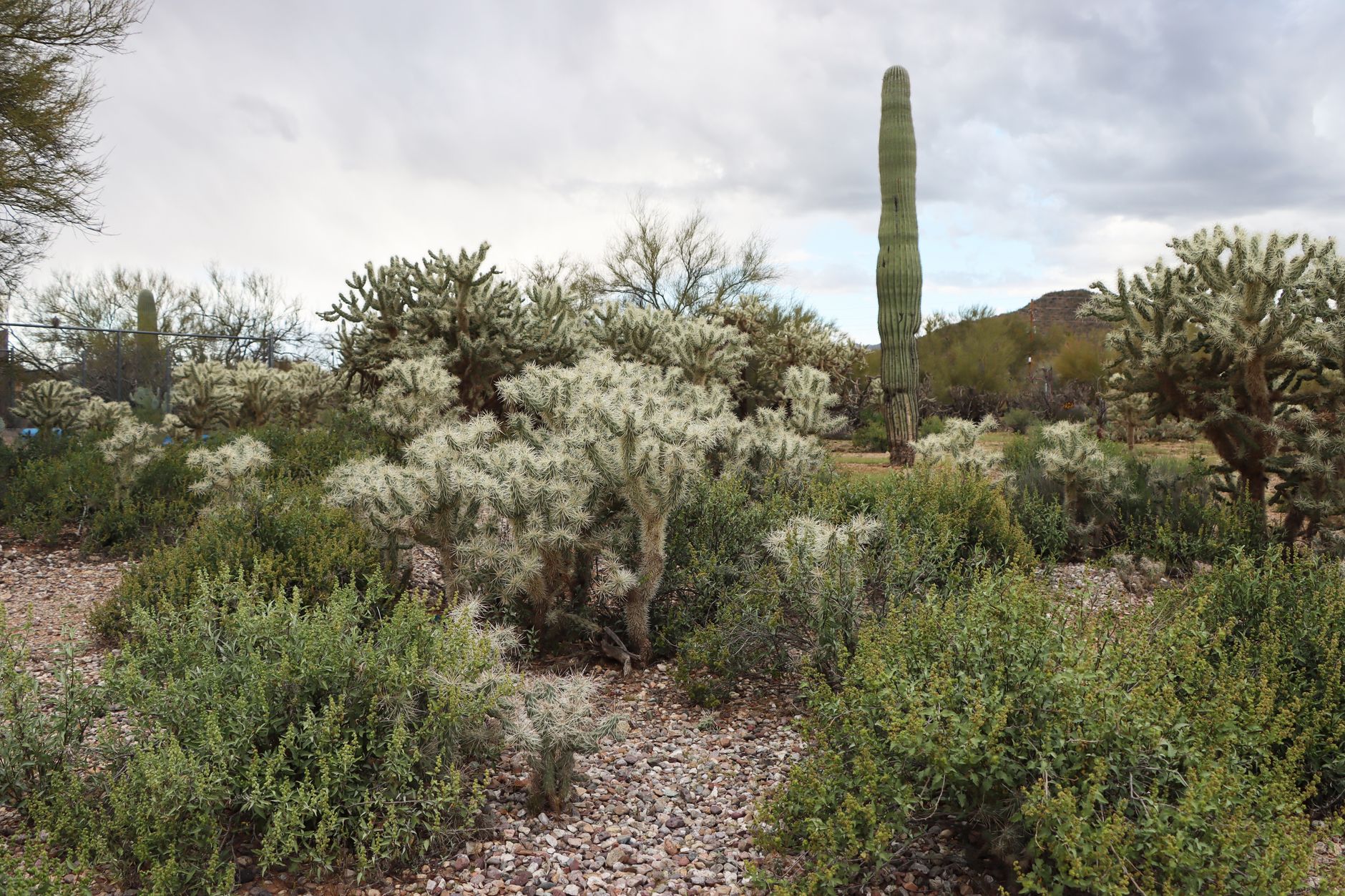 Pexels · Lindsey Willard ↗
Italian Spring — Mica's north slope
Italian Spring lies on the north descent of Mica Mountain, late in Passage 9 northbound, and is a worthwhile stop on this stretch. Flow is seasonal — most dependable after winter snowmelt or the summer monsoon — so confirm it is running before planning a long carry around it.
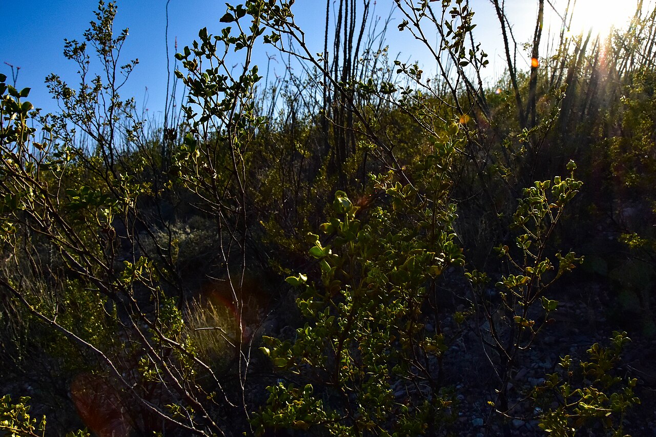 Wikimedia Commons · BLMArizona · Public domain ↗
Passage 12 — water only at the ends
Oracle Ridge (Passage 12) has almost no natural water and little shade along its long, exposed descent. The ATA lists only Summerhaven at the start and High Jinks Ranch mid-passage as sources, so leave Summerhaven with a full load to cover the dry, hot ridge down to Oracle.
1 / 8Which Rincon source is generally the most dependable water on the stretch?
Manning Camp (about 7,920 ft), near the top of the Rincon climb, is generally the single most dependable source on the segment.
Lesson 14 has 37 cards. Keep going in the free app.
Question -
15
Landmarks of the Sky Islands
Catalina landmarks · Canyons, basins and ridges
Lesson 15 · a questionIn Passage 11, the AZT traverses the Wilderness of Rocks between which two landmarks?
The sub-alpine granite Wilderness of Rocks — the crossing's showpiece — is traversed between Romero Pass and Marshall Gulch. The trail can fade among the boulders, so navigate deliberately here.
Lesson 15 has 52 cards. Keep going in the free app.
-
 Pexels · A serene campsite with a tent in Kaibab National Forest, Arizona, bathed in warm daylight. ↗16
Permits, Logistics and Closures
Permits and rules · Resupply, seasons and the bighorn bypass
Lesson 16 · 10 cardsPexels · A serene campsite with a tent in Kaibab National Forest, Arizona, bathed in warm daylight. ↗No permit needed on the Coronado forest
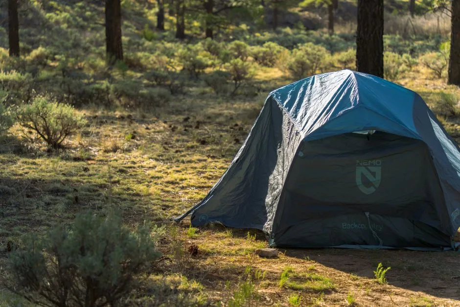
No overnight permit is required to camp on Coronado National Forest land (Passages 10, 11, and 12), though the usual rules apply: a 14-day stay limit, no camping within 200 feet of a water source, and none within a mile of a developed campground. The contrast with Saguaro NP's strict permit system is sharp.
 Pexels · Thomas K ↗
The cyclist's detour
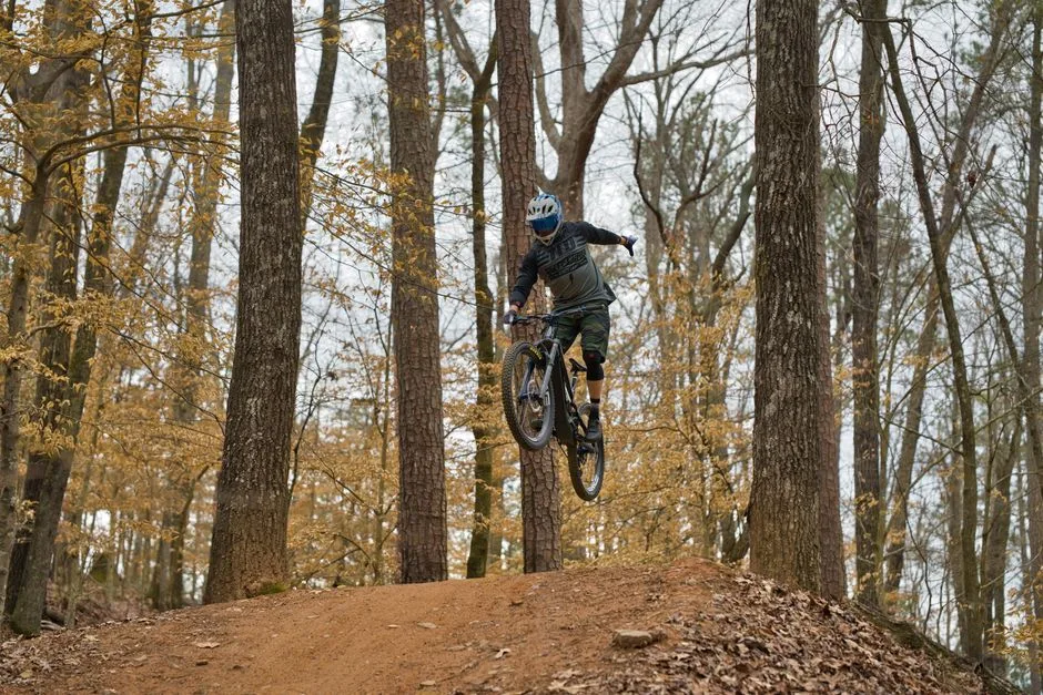
Cyclists blocked by the Pusch Ridge Wilderness closure have one legal workaround: the Pusch Ridge Wilderness Bypass, or Passage 11e.
 Wikimedia Commons · Benp123456789 · CC BY-SA 3.0 ↗
Resupply in Summerhaven
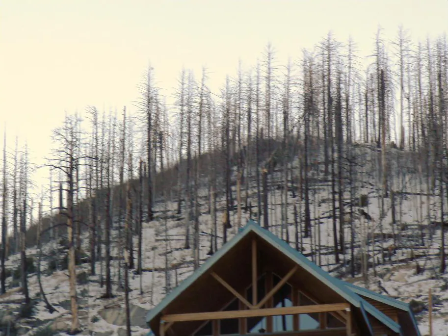
Summerhaven sits right on the AZT at the start of Passage 12 — a rare on-trail resupply. The Mt. Lemmon General Store holds packages and carries limited groceries; the Cookie Cabin and Sawmill Run feed hungry hikers; and the post office holds boxes. Lodging is available at the hotel and rental cabins.
 Pexels · Close-up of a desert bighorn sheep grazing near rocky terrain in Grand Canyon Village, showcasing natural wildlife. ↗
The bighorn lambing restriction
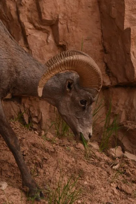
From January 1 to April 30 each year, a Coronado National Forest order bars travel more than 400 feet off system trails within the Bighorn Sheep Management Area of the Pusch Ridge Wilderness, protecting lambing desert bighorn. The AZT's main Passage 11 route stays on-trail, but the rule shapes camping and off-trail options every spring.
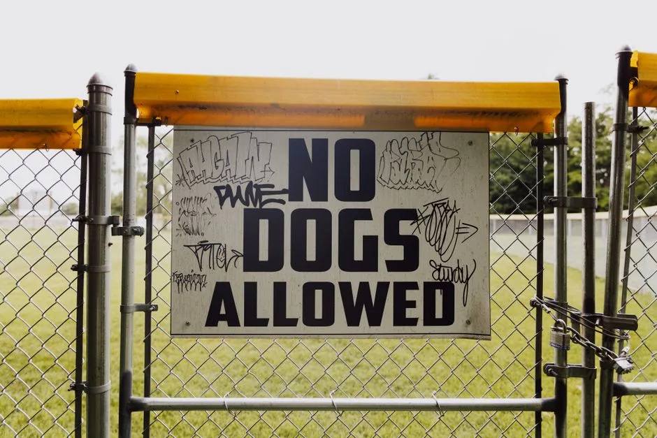 Pexels · A fenced gate displaying a "No Dogs Allowed" sign with graffiti in a park setting. ↗
Dogs are banned in the bighorn area
Dogs are prohibited year-round — not only during lambing season — within the Bighorn Sheep Management Area of the Pusch Ridge Wilderness, because even leashed dogs stress the sheep. AZT hikers traveling with a dog must take the Pusch Ridge Wilderness Bypass, Passage 11e, instead of the main route.
1 / 10How far in advance do Saguaro NP backcountry site reservations open on recreation.gov?
Bookings open two months ahead. Pick your entry date and a designated site (Grass Shack or Manning Camp), pay the $8 per-site, per-night fee, and carry the permit — compliance is strictly enforced.
Lesson 16 has 47 cards. Keep going in the free app.
Question -
 Wikimedia Commons · Courtesy of the Korematsu family · CC BY 2.0 ↗17
History and Culture
People, places and geology
Lesson 17 · 6 cardsWikimedia Commons · Courtesy of the Korematsu family · CC BY 2.0 ↗Gordon Hirabayashi, resister of conscience
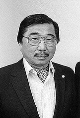
Gordon Hirabayashi was a Japanese-American student who in 1942 defied the WWII curfew and internment orders as unconstitutional. Convicted, he was sent to the prison camp in these mountains — reportedly hitchhiking there himself. His conviction was overturned in 1987, and in 1999 the Forest Service renamed the campground in his honor; he attended the dedication.
1 / 6Along which fault did the granite mass rise from miles deep to form the core complex?
The granite rose along the Catalina Detachment Fault, doming upward and exposing ancient schists and gneisses. The others are unrelated or invented faults.
Lesson 17 has 28 cards. Keep going in the free app.
Question -
18
Quick Recall — Key places & terms
The trail glossary
Lesson 18 · a questionWhat is the highest point of the Rincon Mountains?
Mica Mountain (~8,666 ft) is the highest point in the Rincons. Rincon Peak (8,482 ft) is a lower Rincon summit, and Mount Lemmon is the Catalinas' high point.
Lesson 18 has 45 cards. Keep going in the free app.
-
19
Key Concepts
Key Places
Lesson 19 · a questionThe Rincon Mountains sit in which direction relative to Tucson, Arizona?
The Rincon Mountains lie east of Tucson. North of Tucson is where the Santa Catalina Mountains rise, so that is the tempting wrong answer.
Lesson 19 has 21 cards. Keep going in the free app.


What you'll be able to do 73 objectives, from the pack's lessons
- Identify and order the five AZT passages (8-12) that make up this stretch by the ranges and terrain each covers.
- Match each passage to the wilderness areas and landmarks it crosses.
- Explain the vertical transect: how the desert-to-forest climb passes through a continent's worth of life zones and yields a cooler high country.
- Distinguish the northbound (NOBO) and southbound (SOBO) hiking experiences of this stretch.
- Recognize that the AZT bypasses the actual summits, such as Mica Mountain, reachable only by off-trail side trips.
- Identify the Quilter and Manning Camp Trails as the AZT's Rincon climb, not Tanque Verde Ridge, and describe the Passage 8 approach.
- Recognize Colossal Cave and its Wild West train-robbery lore on the Passage 8 approach.
- Identify Mica Mountain as the Rincon high point (~8,666 ft) that the AZT skirts rather than summits.
- Describe Manning Camp as the historic high-country ranger camp (~7,920 ft) with reliable year-round water.
- Recognize Grass Shack as the designated backcountry campground that breaks the Rincon climb partway up.
- Define Redington Pass as the low saddle (Passage 10, 13.2 mi) connecting the Rincon and Santa Catalina ranges.
- Describe the route across Redington Pass, including the switchbacks to the saddle above Molino Basin.
- Recognize the Molino Basin closure and water shut-off that makes the pass drier than the map suggests.
- Explain the Townsend's Solitaire's winter elevational migration down to the pass to feed on juniper berries.
- Describe Passage 11's 18.7-mile crossing through the Wilderness of Rocks granite country.
- Identify Romero Pass as the steep saddle reached by a vertical-mile climb, and note the equestrian bypass warning.
- Recognize Mount Lemmon (9,157 ft) as the Catalina high point the AZT stays below, named for Sara Plummer Lemmon, in the range called Babad Do'ag.
- Describe Hutch's Pool and the Pusch Ridge bighorn sheep population the passage skirts.
- Describe Passage 12's 17.8-mile exposed descent down Red Ridge and Oracle Ridge to American Flag Ranch.
- Identify the sweeping views from Oracle Ridge — the San Pedro River Valley and the Galiuro Mountains.
- Recognize American Flag Ranch and its historic territorial-era post office at the passage's northern end.
- Explain High Jinks Ranch's tie to Buffalo Bill Cody's mining interests near Oracle.
- Identify the reliable water sources of the stretch — Manning Camp, Hutch's Pool, Colossal Cave Mountain Park, and Cienega Creek.
- Recognize the seasonal sources and the longest dry carry of the segment, across Redington Pass.
- Identify High Jinks Ranch as a reliable fill low on the Oracle Ridge descent.
- Recall the length of each of the five passages and the ~88-mile combined total.
- Identify Passage 9 (Rincon Mountains) as the longest passage in the section.
- Describe the elevation profile by recalling each passage's trail high and low points.
- Recognize that the trail's high points stay below the named summits, such as Mount Lemmon at 9,157 ft.
- Match each passage number 8-12 to its place in the section.
- Identify the southern access points — the Gabe Zimmerman Trailhead at Davidson Canyon and the Loma Alta Trailhead.
- Describe the Redington Road crossing as a remote, waterless, high-clearance hitch point between the ranges.
- Identify the northern access points — the Marshall Gulch Trailhead and the American Flag Ranch Trailhead near Oracle.
- Identify the established campgrounds along the stretch — Colossal Cave's El Bosquecito and La Selvilla, and Molino Basin.
- Explain Saguaro National Park's requirement to reserve designated backcountry sites through recreation.gov.
- Recognize the fee and off-trail permit rules for Colossal Cave Mountain Park and the Cienega Creek Natural Preserve.
- Sequence the Rincon-climb junctions: the Quilter Trail, the Manning Camp Trail, the Mica Mountain junction, and the Italian Spring Trail.
- Sequence the Catalina crossing junctions: West Fork of Sabino Canyon, the Hutch's Pool side trail, Romero Pass, and Wilderness of Rocks.
- Describe the transition onto Oracle Ridge: Marshall Saddle, the Oracle Ridge Trail, and American Flag Ranch Road.
- Recognize the named trails the AZT joins across the stretch.
- Define the sky-island concept and its consequence of stranding endemic species on the peaks.
- Identify the six stacked biotic life zones the trail climbs through, from Sonoran Desert scrub to mixed-conifer forest.
- Describe the Sonoran Desert scrub zone by its arborescent cacti, desert legumes, and drought-adapted shrubs.
- Describe the saguaro's size and lifespan and its keystone role as a desert wildlife high-rise.
- Identify signature plants of the desert-to-sky-island gradient — ocotillo and alligator juniper — by their distinctive traits.
- Recognize the desert's spectacular insects — the palo verde beetle and the tarantula hawk.
- Distinguish the reptiles by their adaptations — Yarrow's live-bearing lizard, the bipedal collared lizard, and the venomous fossorial Gila monster.
- Recognize the sky-island animals by name, including the reptiles, the coatimundi, and the Mexican spotted owl.
- Recall the section's headline hazard facts — heat as the deadliest low-desert danger, the 2003 Aspen Fire legacy, and the harmless palo verde beetle.
- Match the segment's dangerous animals to the correct safe response or key trait.
- Recognize the segment's hazardous animals by name — black bears, mountain lions, Africanized bees, and rattlesnakes.
- Identify the Rincon water sources south to north — Rincon Creek, Chimenea Creek, Grass Shack, and Italian Spring — with their elevations.
- Recognize Manning Camp as the most dependable Rincon source and quantify the short Manning-to-Italian-Spring carry.
- Describe the drier Redington and Catalina sources: Caliente Creek, Molino Basin, Lemmon Creek, and High Jinks Ranch.
- Describe the Wilderness of Rocks and Passage 11's elevation extremes (high ~8,200 ft, Sabino low ~3,640 ft).
- Identify Romero Pass (~6,000 ft) and Marshall Gulch (~8,000 ft) as the Catalina saddle and the Passage 11/12 boundary.
- Recognize the Catalina (Hitchcock) Highway crossing at the start of Passage 11.
- Describe the West Fork of Sabino Canyon and Molino Basin (~4,500 ft) as key lower landmarks of the crossing.
- Identify Red Ridge (start of Passage 12) and Gordon Hirabayashi Campground (~4,700 ft, Passage 10/11 boundary), and Passage 10's ~2,300 ft of climbing.
- Explain Saguaro NP's permit system — $8 per site per night, bookings two months ahead, and only Grass Shack and Manning Camp on-trail.
- Recognize the mountain-bike and equestrian restrictions in the Rincon and Pusch Ridge Wilderness areas.
- Describe the Pusch Ridge bighorn protections — the Jan 1-Apr 30 off-trail limit, the 400-foot buffer, the year-round dog ban, and the 11e bypass.
- Identify the resupply towns of Summerhaven and Oracle and the typical spring-northbound timing.
- Explain the deep origins of the range and its Spanish name — the ~30-million-year granite core-complex uplift and Kino's ~1697 naming for St. Catherine.
- Recognize the O'odham name 'Babad Do'ag' (Frog Mountain), predating the Spanish name for the Catalinas.
- Identify the historical figures the trail's landmarks honor — Gabe Zimmerman, Gordon Hirabayashi, and Buffalo Bill Cody.
- Recall the two range high points (Mica Mountain, Mount Lemmon) and why these ranges are called sky islands.
- Recall the key water landmarks (Manning Camp, Romero Pass, Hutch's Pool) and where the longest dry carry occurs.
- Recall the connector, ridge, and terminus landmarks (Redington Pass, Red Ridge, American Flag Ranch) and the O'odham name.
- Recognize Saguaro National Park's permit rule and the two named range summits by name.
- Identify the two sky-island ranges that frame this stretch — the Rincon Mountains and the Santa Catalina Mountains.
- Recognize the hot connector saddle (Redington Pass) and the exposed descent (Oracle Ridge).
- Identify the protected areas along the route — Saguaro National Park and the Cienega Creek Natural Preserve.
Study guide.
The same study guide as in the app, one page for each lesson, with its key facts and a self-test.
- 01Route Overview
- 02The Rincon Mountains
- 03Redington Pass
- 04The Santa Catalina Mountains
- 05Oracle Ridge
- 06Water Sources & Carries
- 07Elevation, Mileage & Stats
- 08Trailheads & Access
- 09Campsites & Permits
- 10Navigation & Junctions
- 11Ecology & Life Zones
- 12Flora & Fauna
- 13Hazards & Safety
- 14Water Sources Up Close
- 15Landmarks of the Sky Islands
- 16Permits, Logistics and Closures
- 17History and Culture
- 18Quick Recall — Key places & terms
- 19Key Concepts
Its cards name 1 source.
342 of its 797 cards name their source. These are the sources named.
- AZT: Rincons & Catalinas
Hover over a photo, or tap its i, to see where it came from. All 18:
- Lesson 1: Pexels · Lindsey Willard · Pexels License ↗
- Lesson 1: Pexels · Tapas S ↗
- Lesson 2: Pexels · Lindsey Willard · Pexels License ↗
- Lesson 3: Pexels · Robert So · Pexels License ↗
- Lesson 4: Joshua Tree National Park (Openverse) · pdm 1.0 ↗
- Lesson 5: Unsplash · Spencer DeMera · Unsplash License ↗
- Lesson 6: Pexels · chris clark · Pexels License ↗
- Lesson 7: Pexels · Brett Buskirk ↗
- Lesson 7: Pexels · Andreas Staver ↗
- Lesson 8: Wikimedia Commons · Eegorr · CC BY 3.0 ↗
- Lesson 9: Wikimedia Commons · Raquel Baranow · CC BY 2.0 ↗
- Lesson 10: Pexels · icon0 com ↗
- Lesson 11: Wikimedia Commons · Joe Parks from Berkeley, CA · CC BY 2.0 ↗
- Lesson 12: Wikimedia Commons · WClarke · CC BY-SA 3.0 ↗
- Lesson 13: Wikimedia Commons · NASA, MODIS Rapid Response System · Public domain ↗
- Lesson 14: Pexels · Lindsey Willard ↗
- Lesson 16: Pexels · A serene campsite with a tent in Kaibab National Forest, Arizona, bathed in warm daylight. ↗
- Lesson 17: Wikimedia Commons · Courtesy of the Korematsu family · CC BY 2.0 ↗
- Cards
- 795
- Lessons
- 19
- Version
- 1.0.42
- Language
- English
The whole pack is one file. Read the pack file ↗
FlashFeed is on the App Store and Google Play.
FlashFeed is free on iPhone and Android, and needs no account.